© TV Nationalpark Region Ennstal

© TV Nationalpark Region Ennstal

- Kort beskrivelse
-
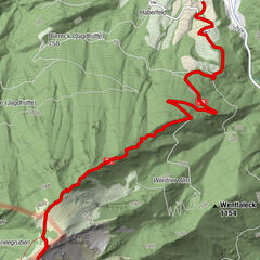
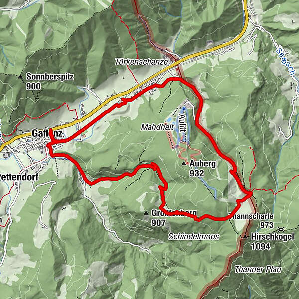
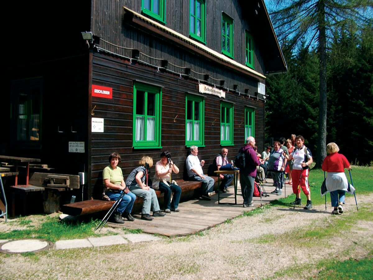
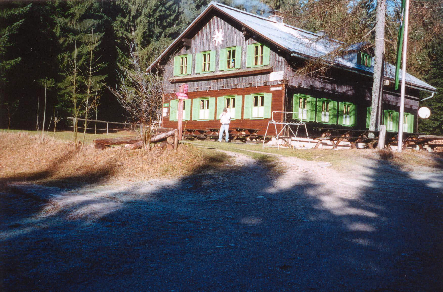
Circular trail to the Amstettner Hütte and via Oberland back to Gaflenz
- Sværhedsgrad
-
let
- Evaluering
-
- Rute
-
Kirche GaflenzGaflenz0,1 kmSteinleiten1,7 kmBürgertal2,0 kmschindlmoos5,0 kmAmstettner Hütte6,0 kmGasthaus Kases9,5 kmOberland9,5 kmGaflenz11,7 kmKirche Gaflenz11,8 km
- Bedste sæson
-
janfebmaraprmajjunjulaugsepoktnovdec
- Højeste punkt
- 977 m
- Destination
-
Gaflenz
- Højdeprofil
-

- Forfatter
-
Rundvisningen Amstettner Hütte (from Gaflenz) bruges af outdooractive.com forudsat.
GPS Downloads


Generel information
Forfriskningsstop
Flere ture i regionerne
-
Traunviertel
1940
-
Melker Alpenvorland
796
-
Gaflenz
282