© Ferienregion Dachstein Salzkammergut

© Ferienregion Dachstein Salzkammergut

© Ferienregion Dachstein Salzkammergut

© Ferienregion Dachstein Salzkammergut

© Ferienregion Dachstein Salzkammergut / Viorel Munteanu

© Ferienregion Dachstein Salzkammergut / Michaela Schilcher

© Sven Posch / www.viewnect.com

© RudiKainPhotografie

© RudiKainPhotografie

- Kort beskrivelse
-
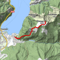
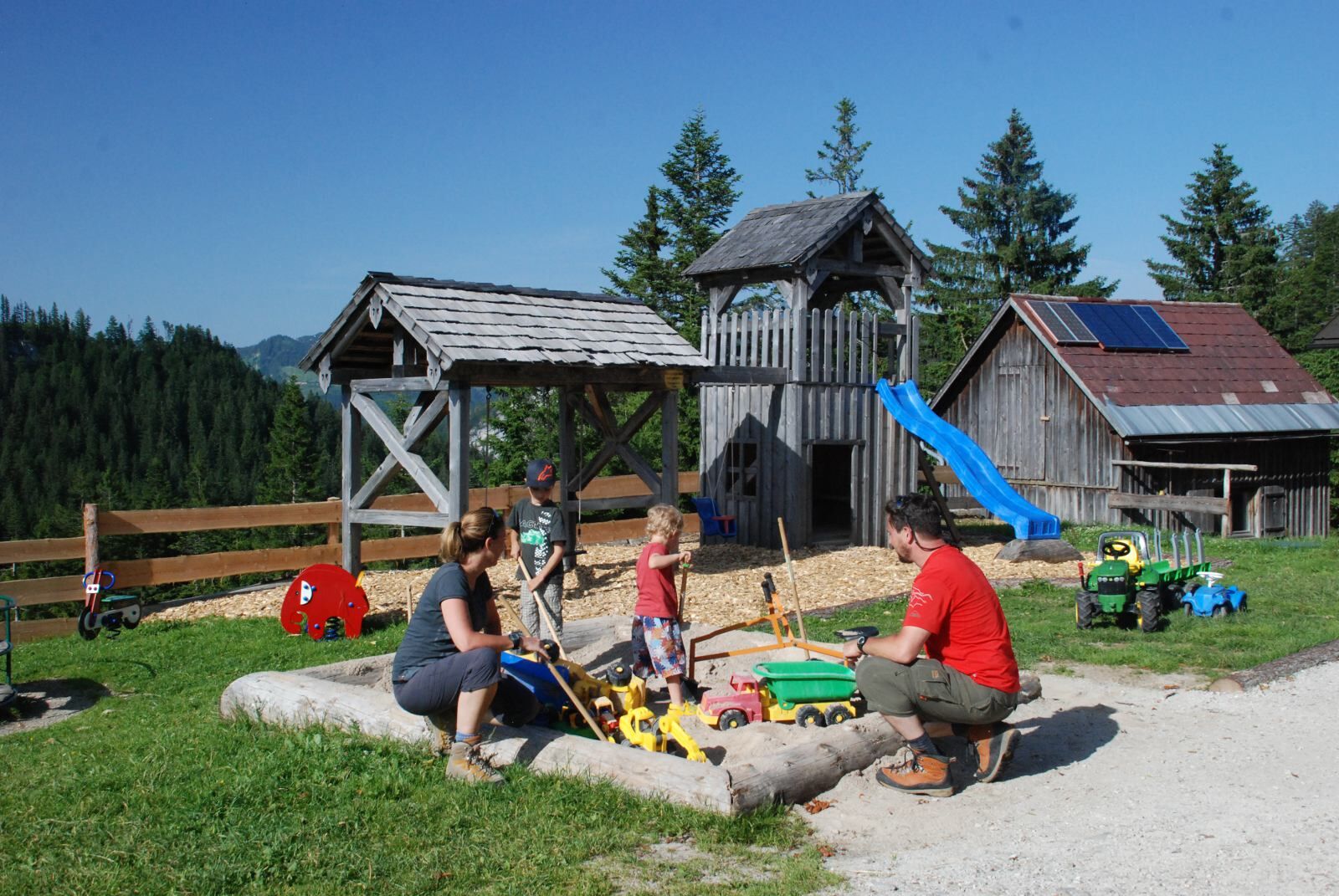
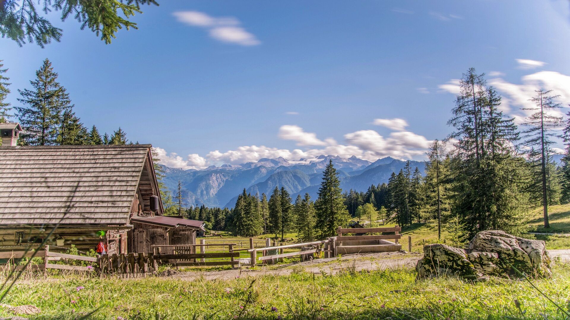
Family-friendly hike that impresses young and old hikers with its varied scenery and breathtaking views. The hiking path leads along an easy accessible forest trail over the “Roßmoosalm”, through the “Zwerchwand” quarry to the Hütteneck hut.
- Sværhedsgrad
-
let
- Evaluering
-
- Rute
-
Hütteneckalm3,8 kmHütteneckalm4,0 km
- Bedste sæson
-
janfebmaraprmajjunjulaugsepoktnovdec
- Højeste punkt
- 1.234 m
- Højdeprofil
-


- Forfatter
-
Rundvisningen Hiking trail to the "Hütteneckalm" bruges af outdooractive.com forudsat.
GPS Downloads


Generel information
Forfriskningsstop
Flere ture i regionerne
-
Salzkammergut Oberösterreich
3081
-
Bad Ischl
1646
-
Bad Goisern
390