© Gemeinde Vichtenstein

- Kort beskrivelse
-
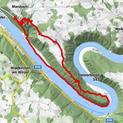
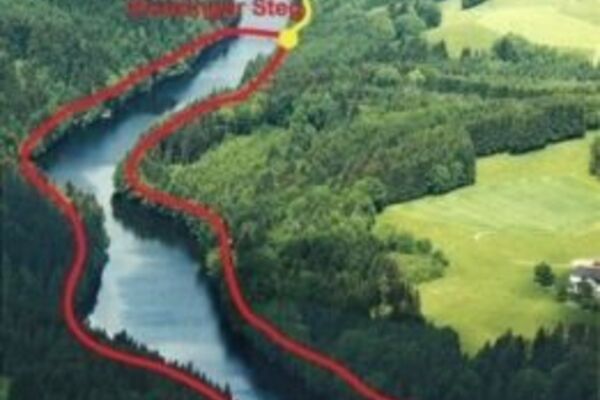
The hiking route is about 3.25 km long, of which about half of the distance is designed as a nature trail
- Sværhedsgrad
-
let
- Evaluering
-
- Rute
-
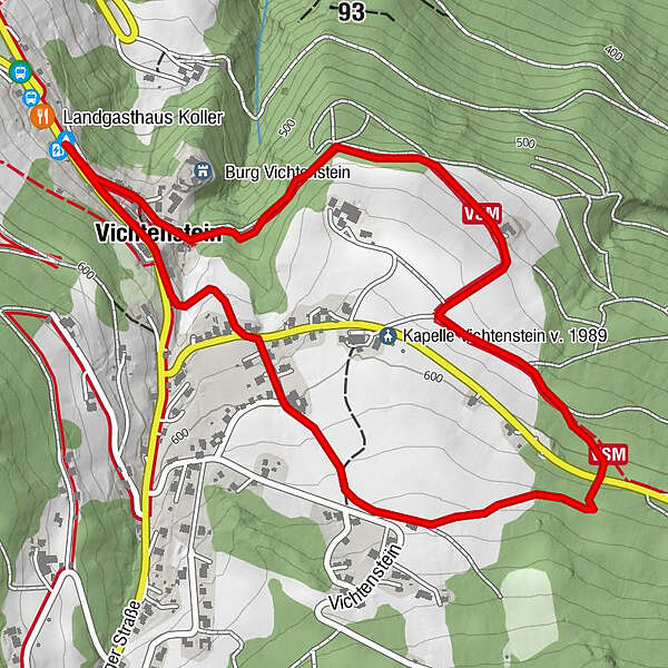
Panoramablick VichtensteinVichtenstein3,0 kmPanoramablick Vichtenstein3,1 km
- Bedste sæson
-
janfebmaraprmajjunjulaugsepoktnovdec
- Højeste punkt
- 635 m
- Destination
-
Vichtenstein municipal office
- Højdeprofil
-

- Forfatter
-
Rundvisningen Countess Trail (nature trail) bruges af outdooractive.com forudsat.
GPS Downloads


Generel information
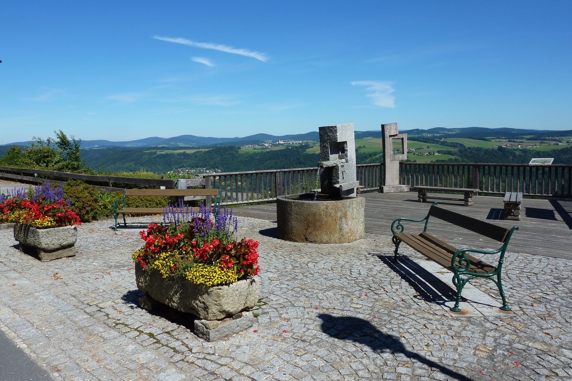
Forfriskningsstop
Flora
Lovende
Flere ture i regionerne
-
Innviertel
797
-
Ferienregion Böhmerwald
479
-
Vichtenstein
113