© Radler-Rast - Mag. Brigitte Pamperl

© Radler-Rast - Mag. Brigitte Pamperl

© Radler-Rast - Mag. Brigitte Pamperl

© Radler-Rast - Mag. Brigitte Pamperl

© Radler-Rast - Mag. Brigitte Pamperl

© Radler-Rast - Mag. Brigitte Pamperl

© Radler-Rast - Mag. Brigitte Pamperl

© Radler-Rast - Mag. Brigitte Pamperl

© Radler-Rast - Mag. Brigitte Pamperl

© Radler-Rast - Mag. Brigitte Pamperl

- Kort beskrivelse
-
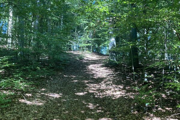
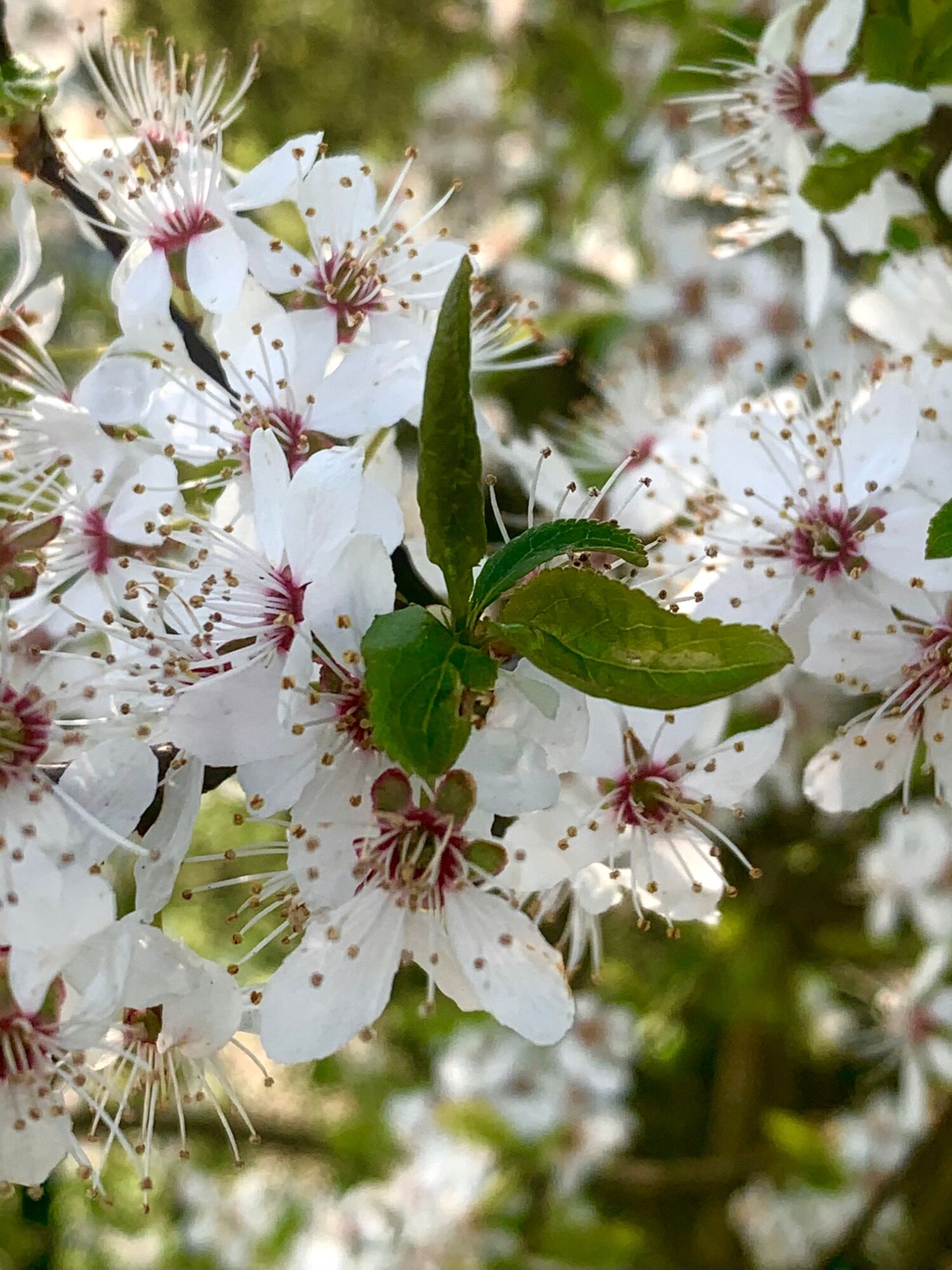
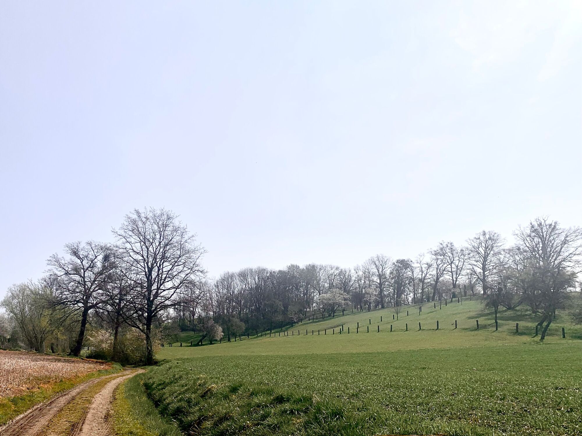
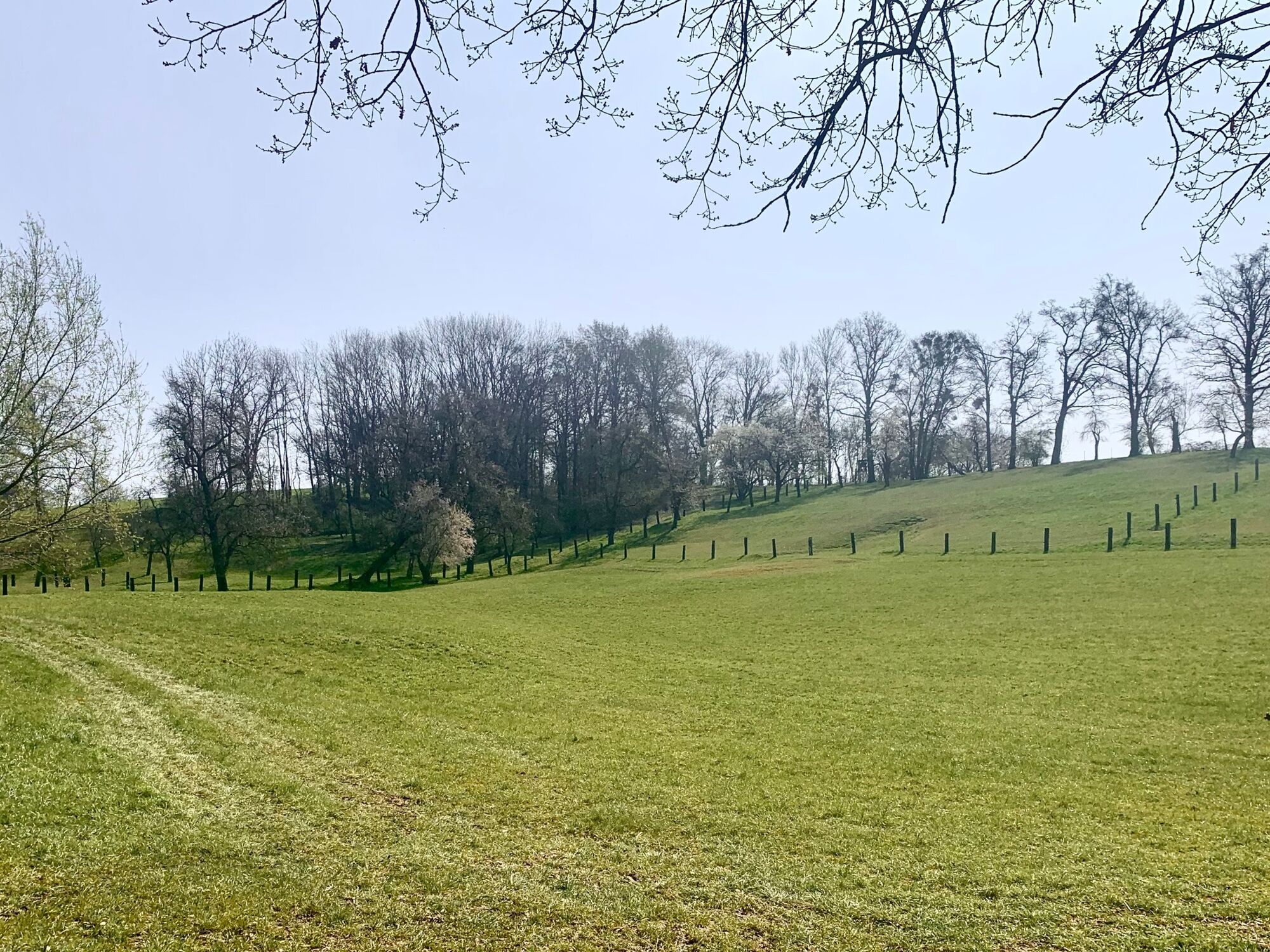
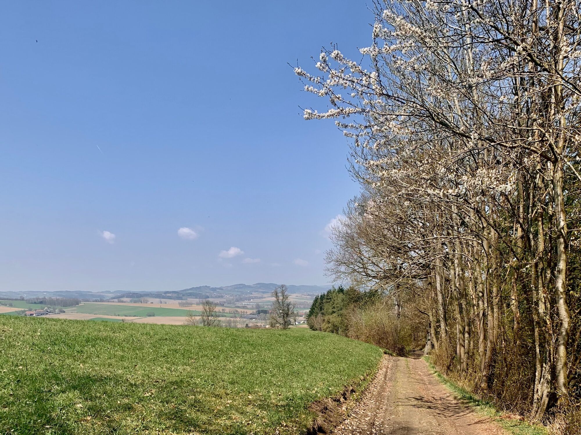
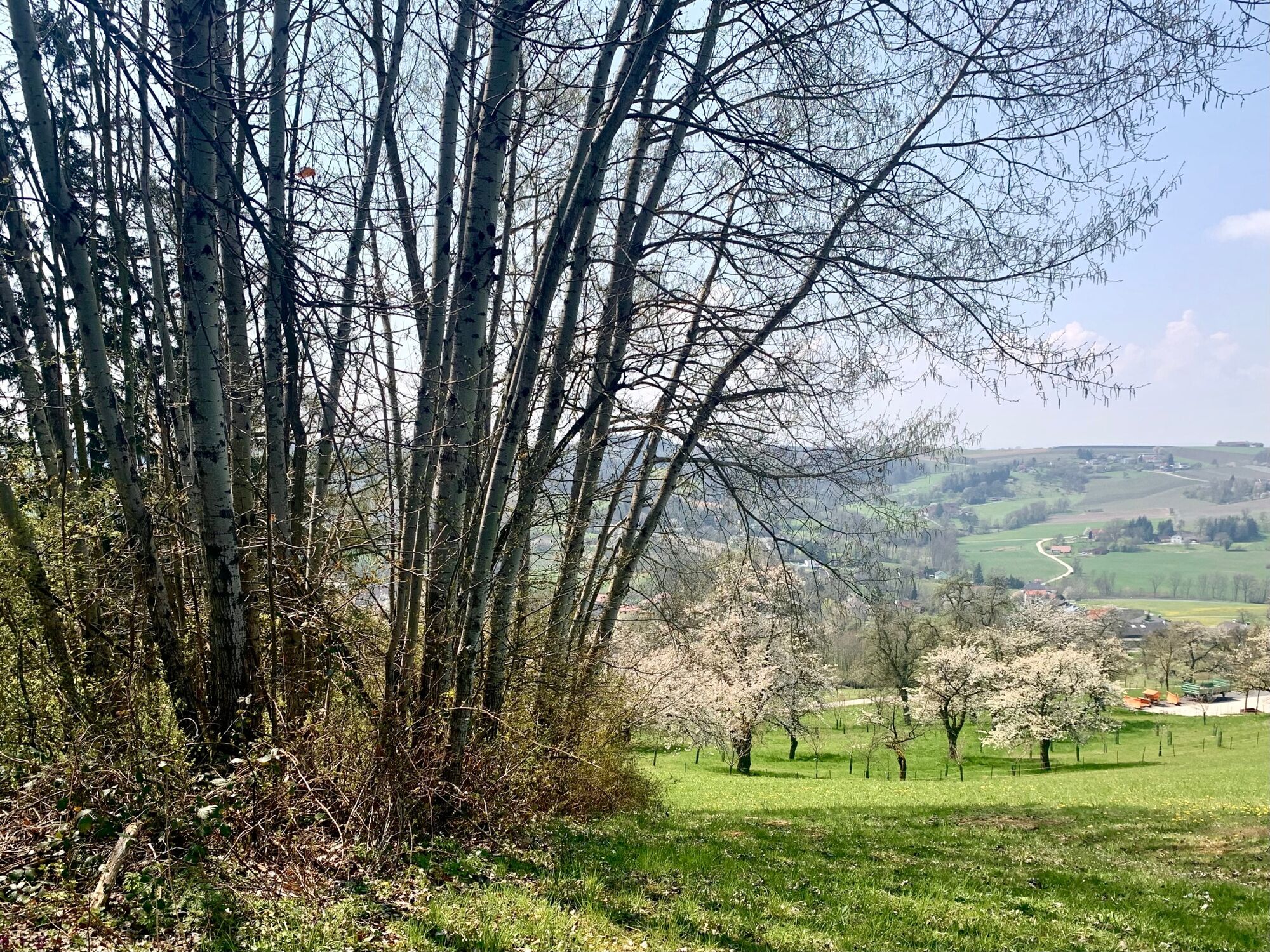
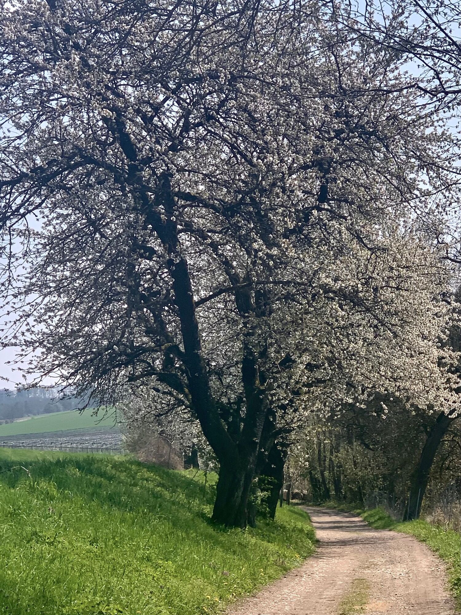
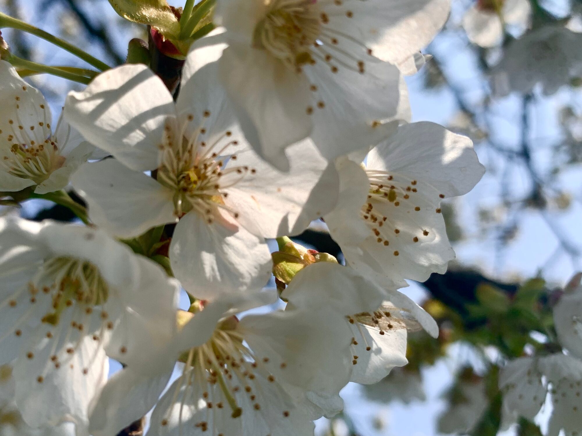
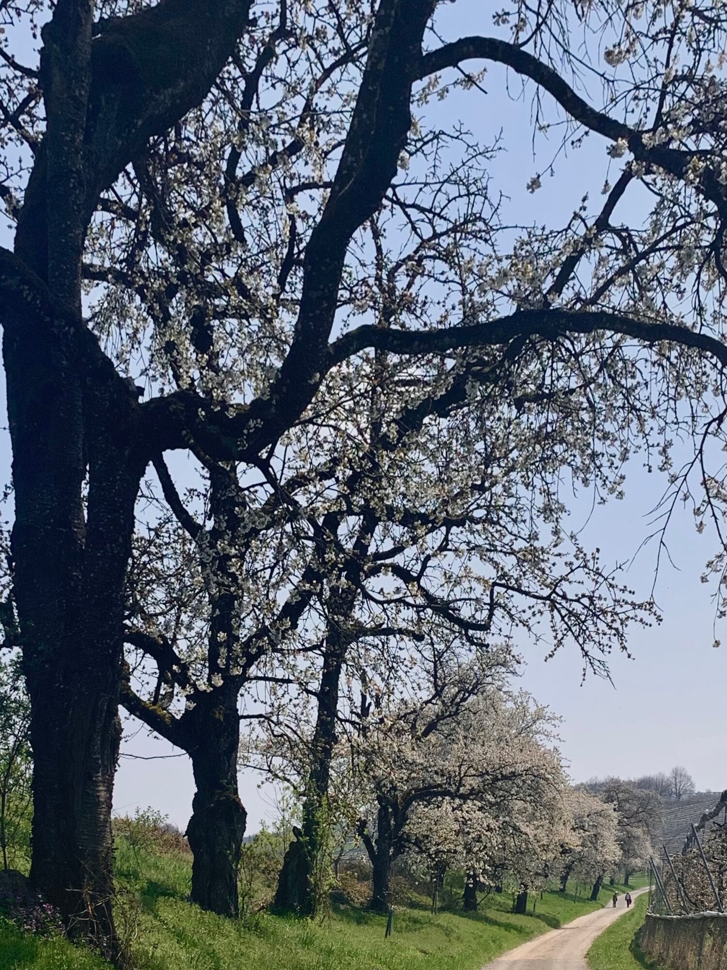
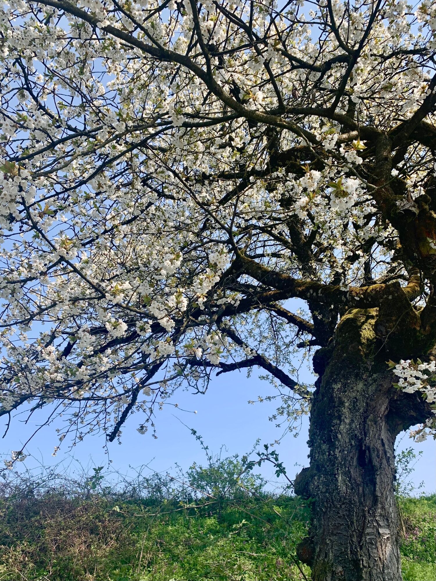
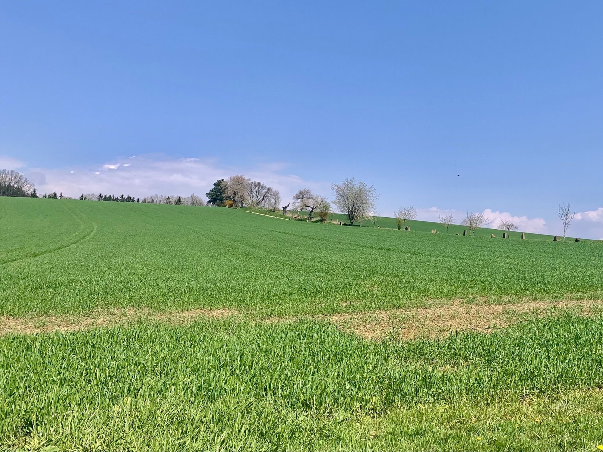
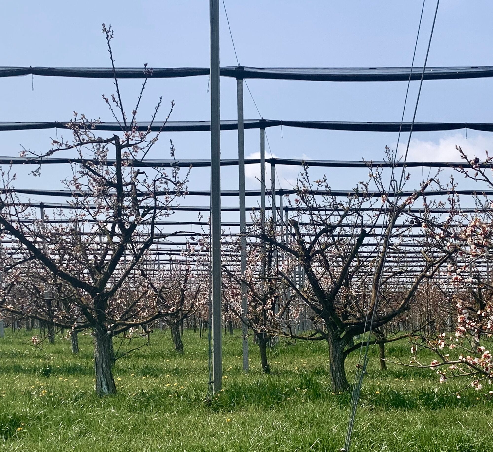
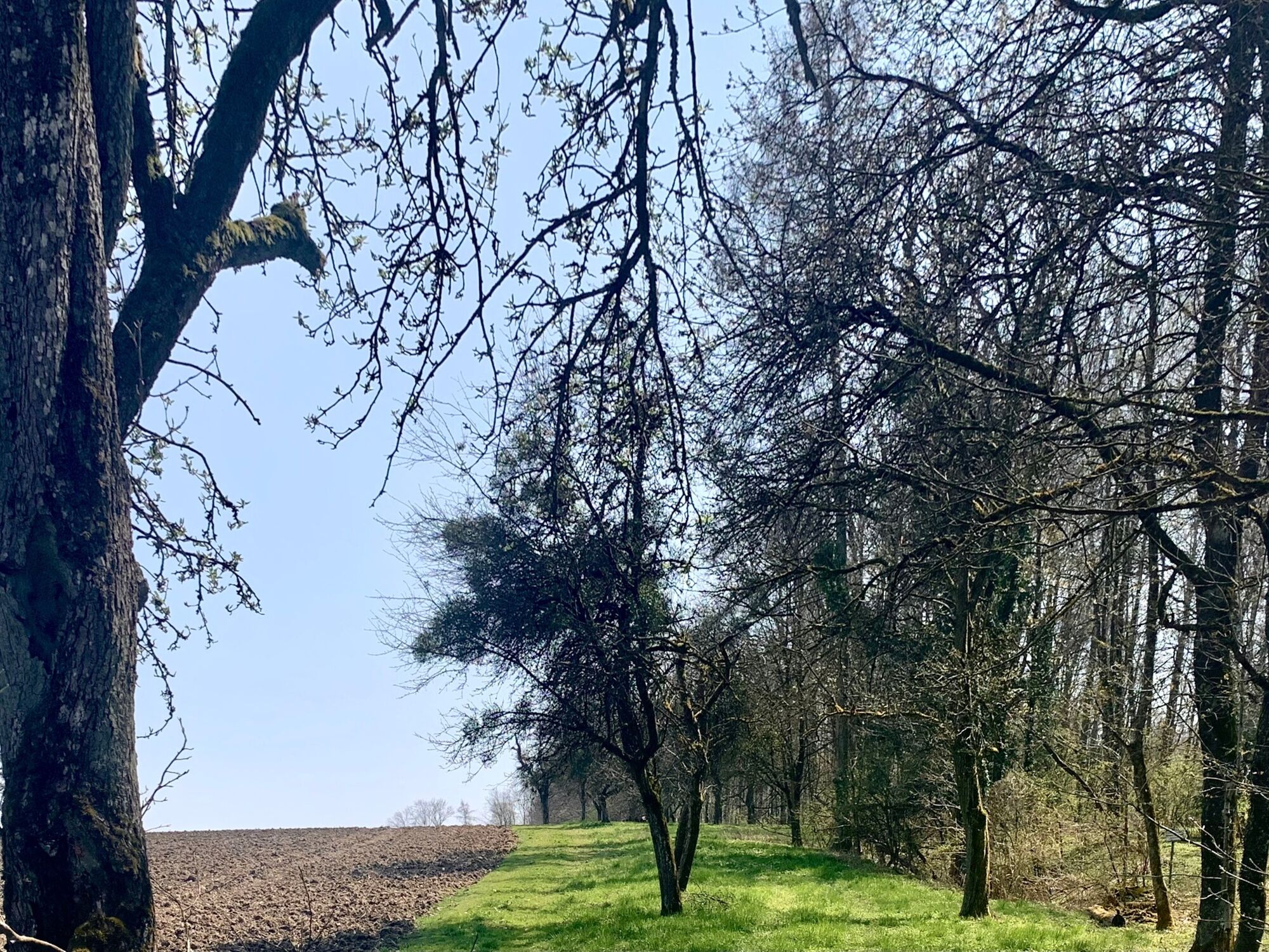
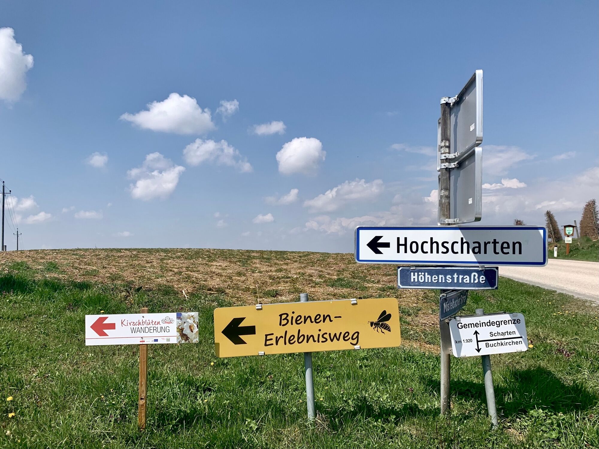
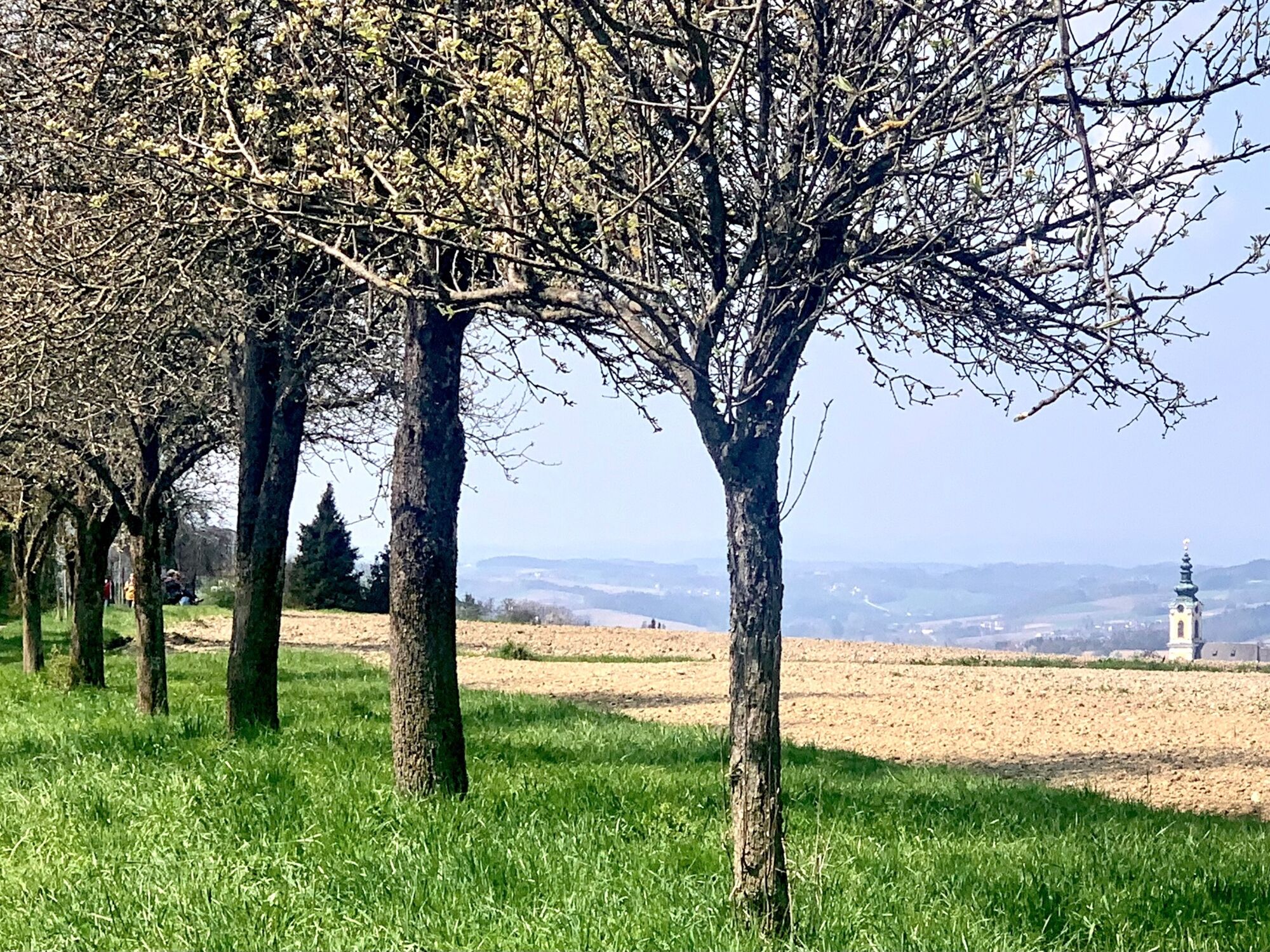
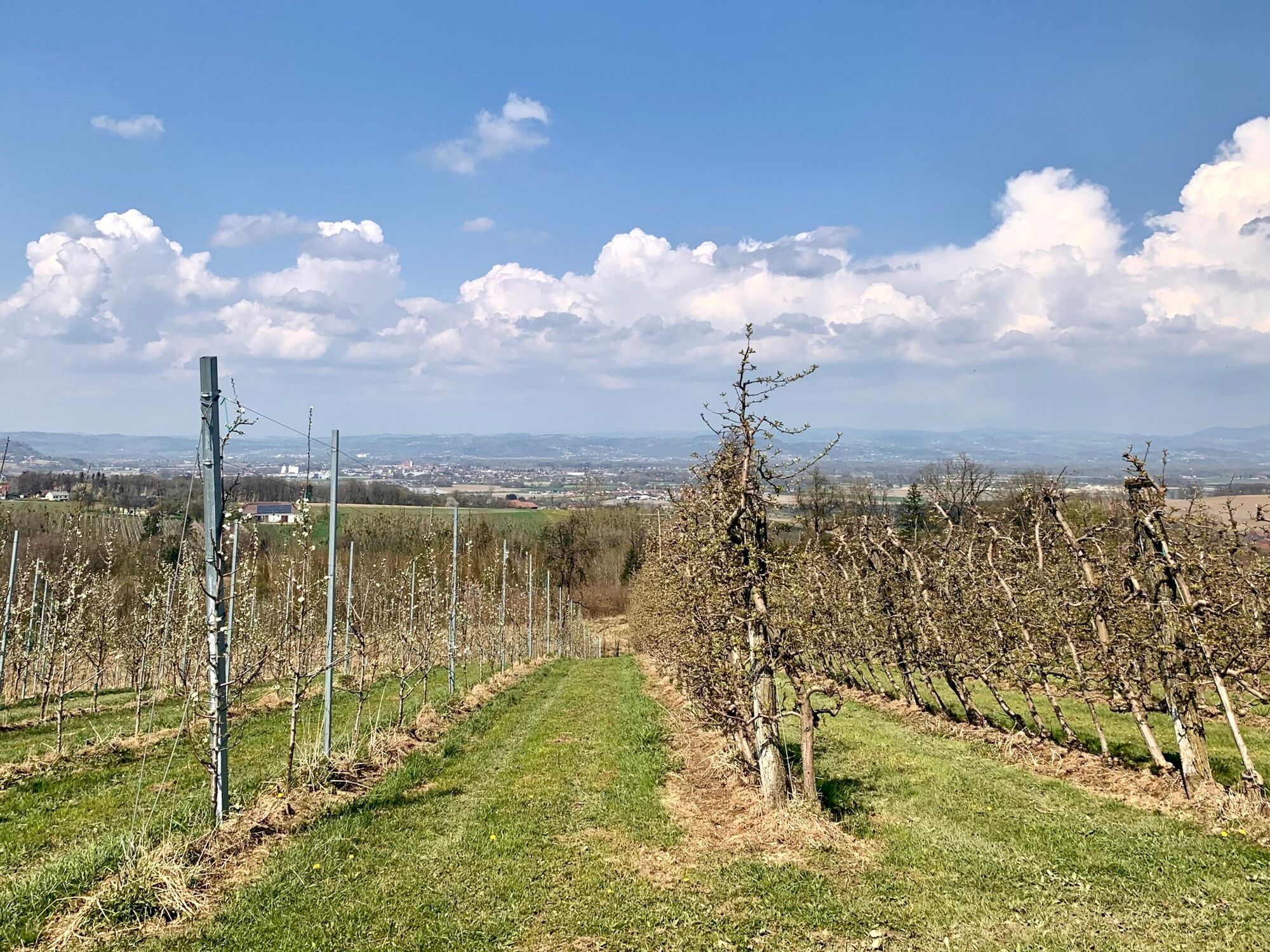
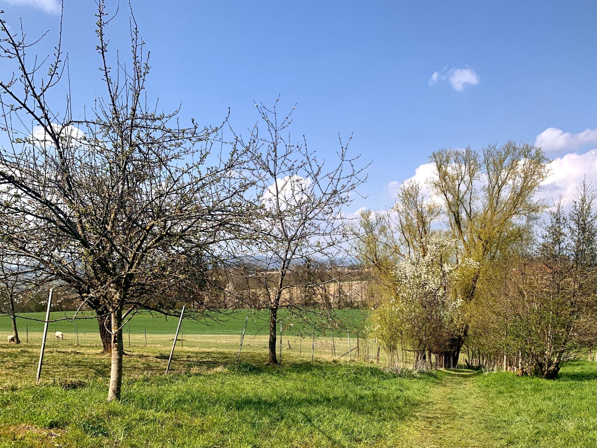
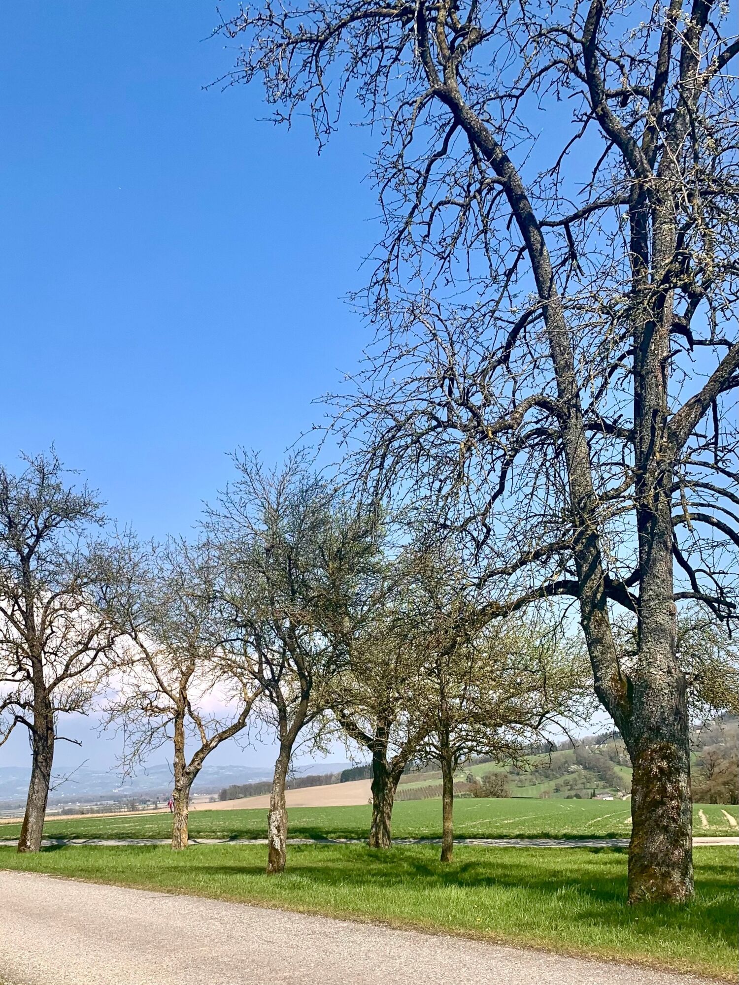
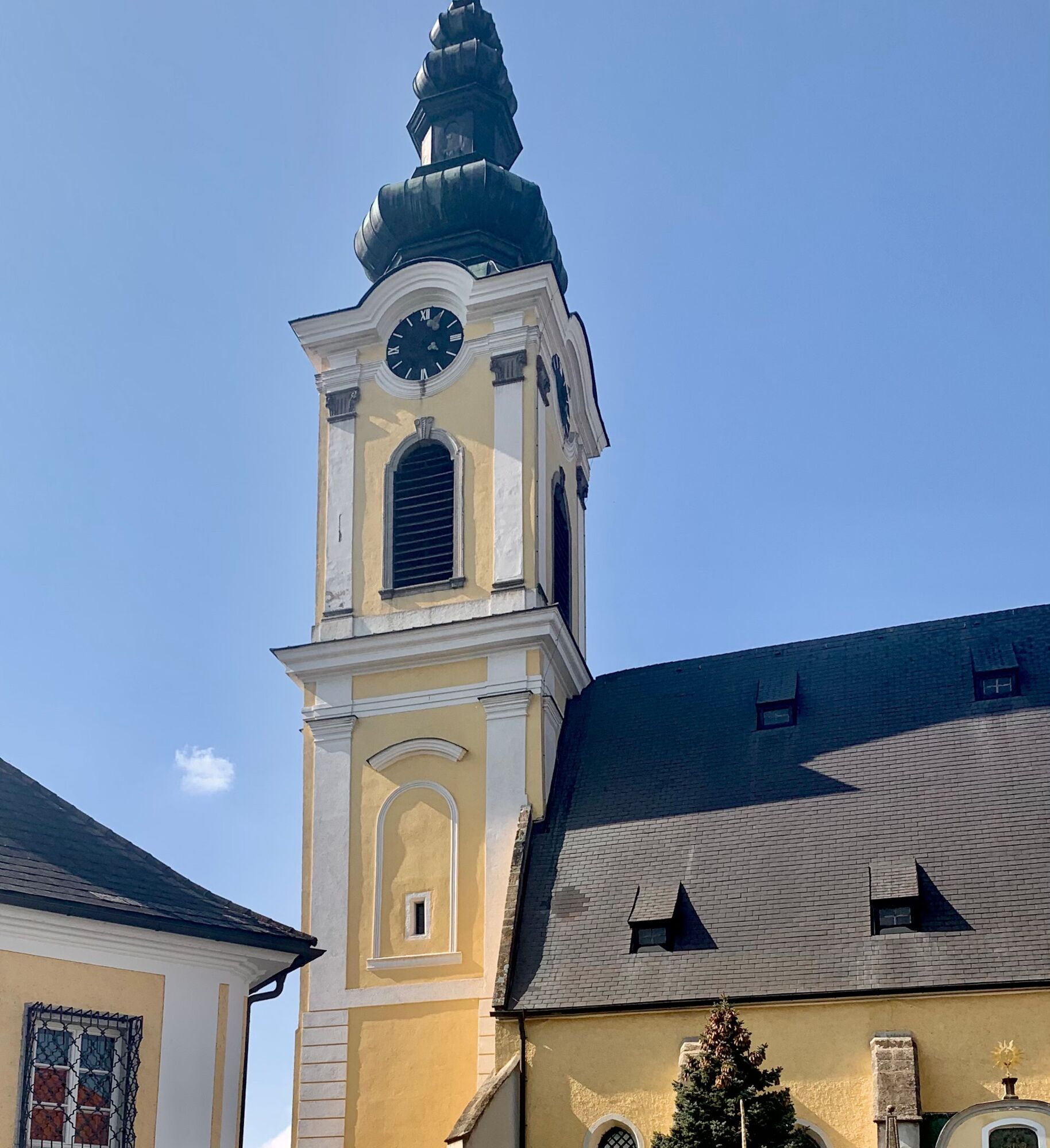
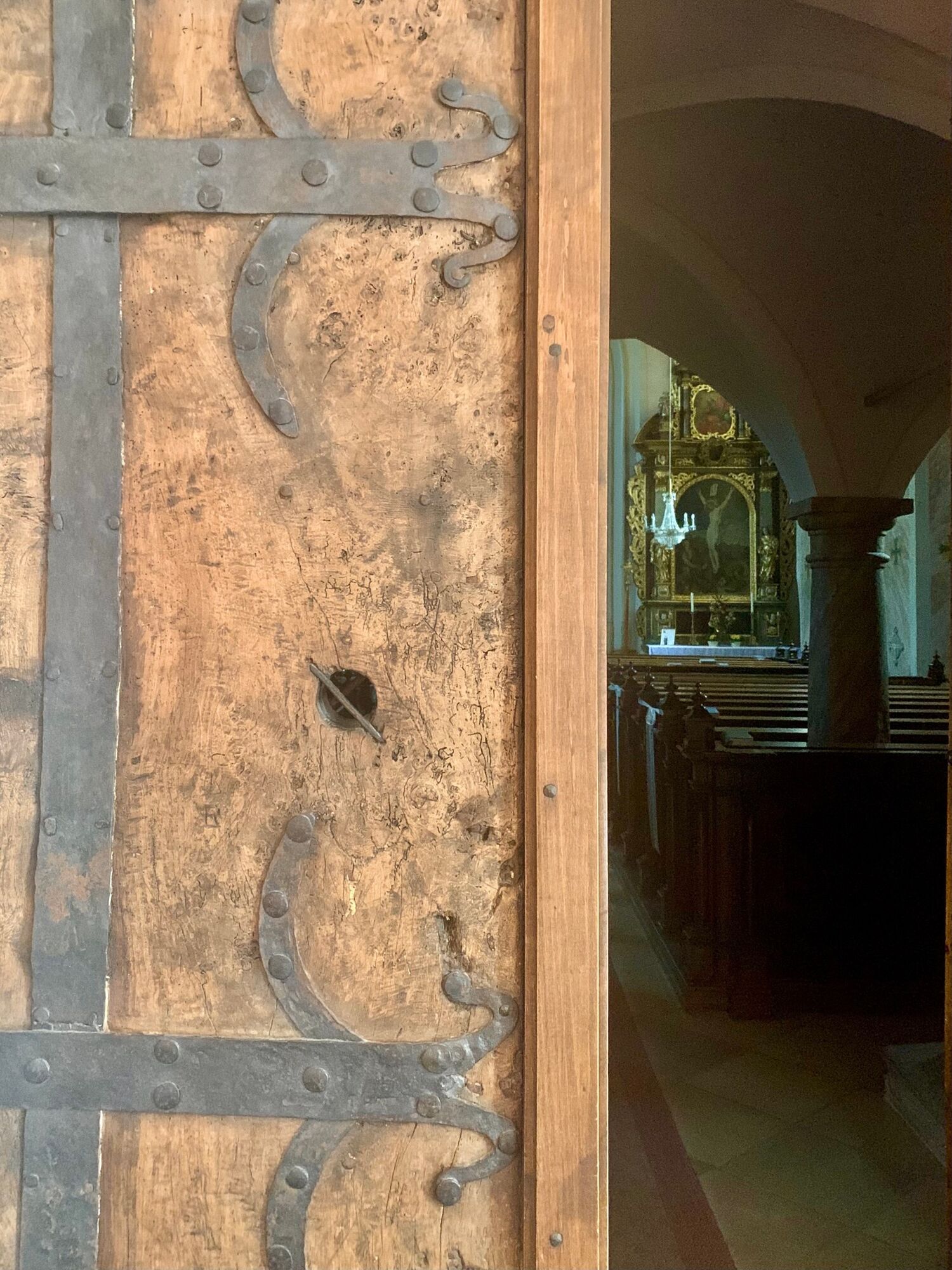
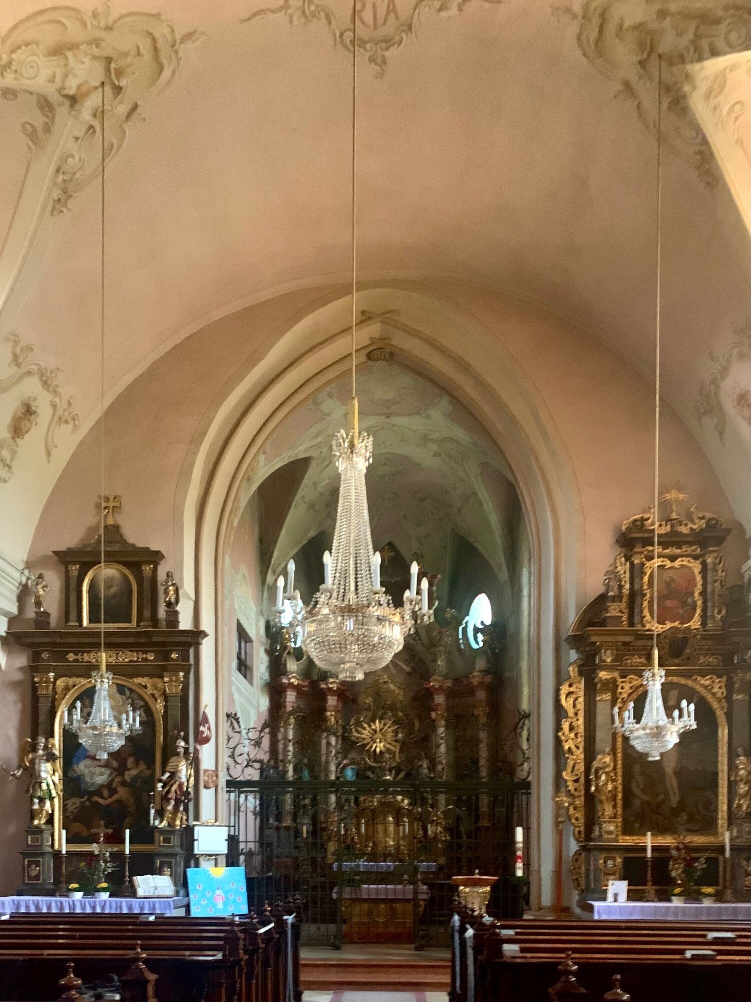
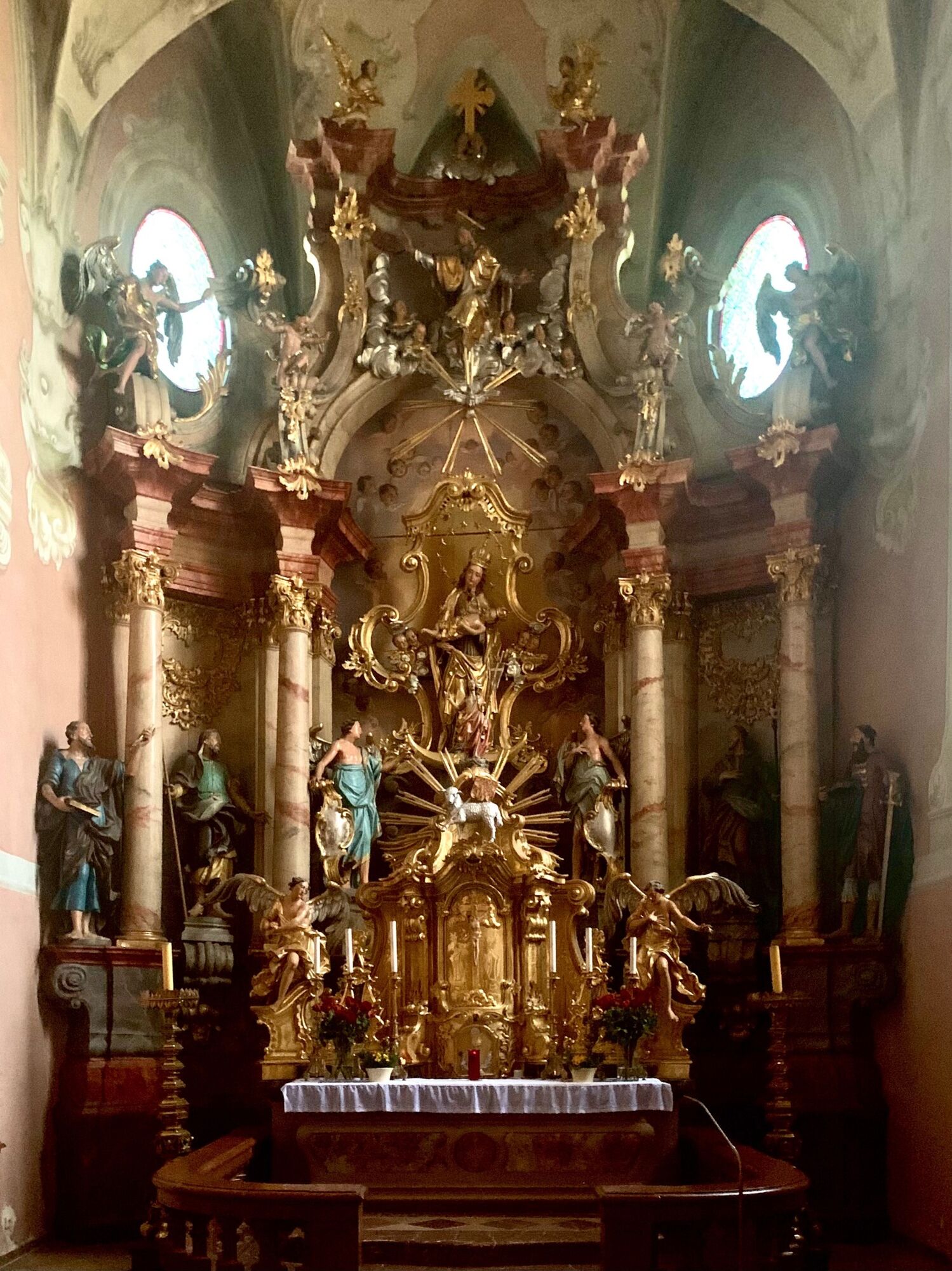
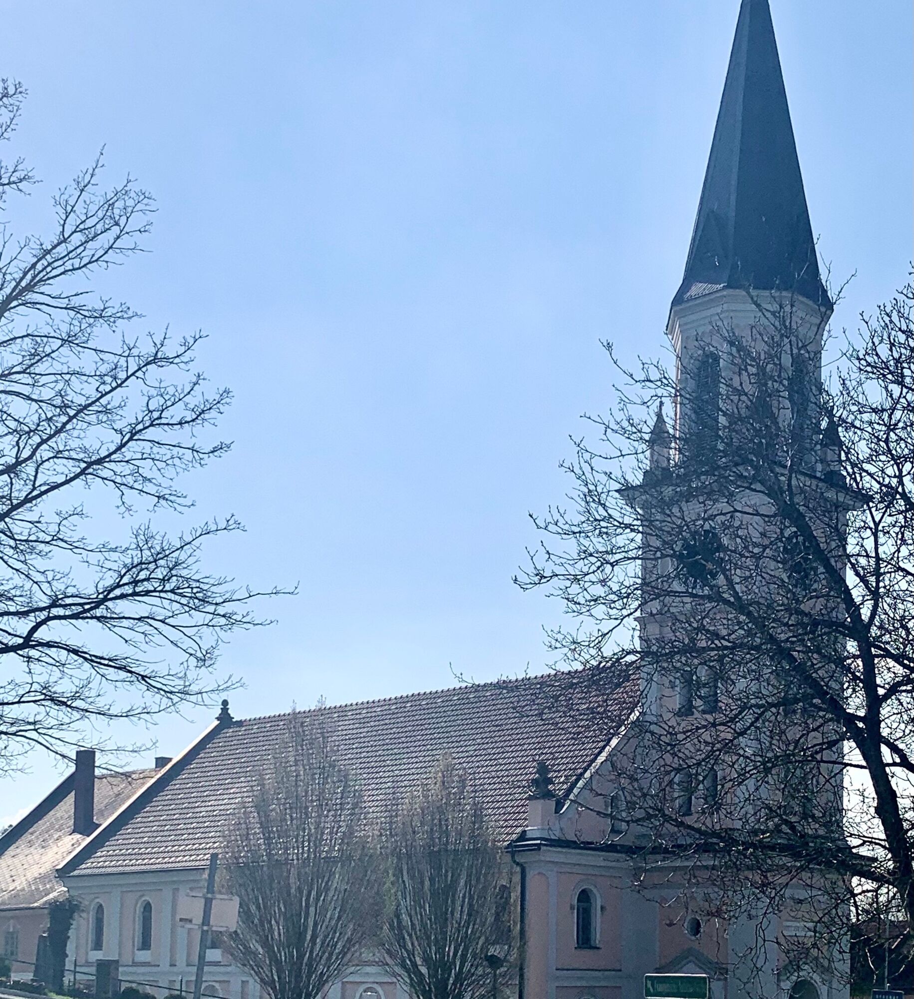
The Kirschbütenwanderweg in Scharten is a circular hiking trail that leads around the localities of the municipality of Scharten, past blooming cherry trees at the height of the Schartner hill country.
- Sværhedsgrad
-
medium
- Evaluering
-
- Rute
-
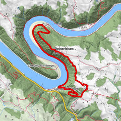
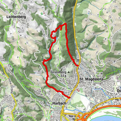
Jausenstation BeißlHerrnholz0,0 kmLeppersdorf1,3 kmWolfsgrub6,0 kmHochscharten7,5 kmGasthof Schartnerblick8,5 kmKronberg8,5 kmJausenstation Beißl11,3 kmHerrnholz11,3 km
- Bedste sæson
-
janfebmaraprmajjunjulaugsepoktnovdec
- Højeste punkt
- 445 m
- Destination
-
Beißl snack station, Herrnholz 17, 4612 Scharten
- Højdeprofil
-


-
-
ForfatterRundvisningen Cherry blossom hike in Scharten bruges af outdooractive.com forudsat.
Alle anmeldelser
Karl felber
13. Apr. 2024
Kirschblüten Wanderung in Scharten
GPS Downloads


Generel information
Forfriskningsstop
Flora
Flere ture i regionerne
-
Hausruckviertel
1483
-
Donau Oberösterreich
775
-
Scharten
102