© Nationalpark Kalkalpen/Sieghartsleitner - <a href="http://www.kalkalpen.at">Nationalpark Kalkalpen</a>

© Nationalpark Kalkalpen - <a href="http://www.kalkalpen.at">Nationalpark Kalkalpen</a>

© Nationalpark Kalkalpen/Rieder - <a href="http://www.kalkalpen.at">Nationalpark Kalkalpen</a>

© Nationalpark Kalkalpen - <a href="http://www.kalkalpen.at">Nationalpark Kalkalpen</a>

© Nationalpark Kalkalpen - <a href="http://www.kalkalpen.at">Nationalpark Kalkalpen</a>

© Nationalpark Kalkalpen - <a href="http://www.kalkalpen.at">Nationalpark Kalkalpen</a>
© Nationalpark Kalkalpen - <a href="http://www.kalkalpen.at">Nationalpark Kalkalpen</a>
© Nationalpark Kalkalpen/Rieder - <a href="http://www.kalkalpen.at">Nationalpark Kalkalpen</a>

© Nationalpark Kalkalpen - <a href="http://www.kalkalpen.at">Nationalpark Kalkalpen</a>


- Kort beskrivelse
-
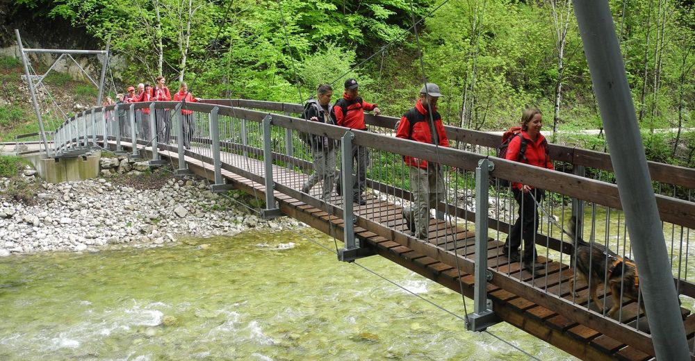
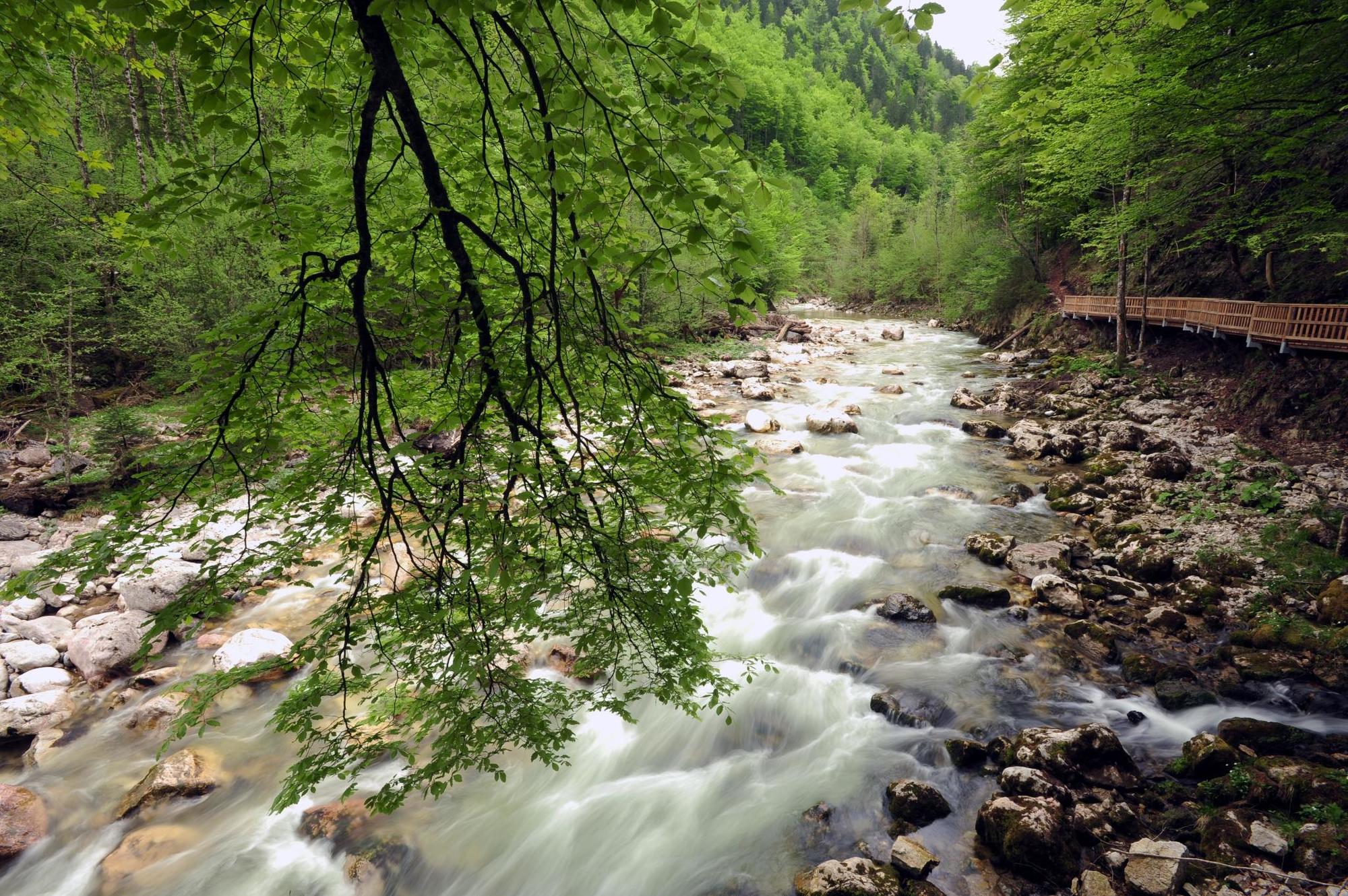
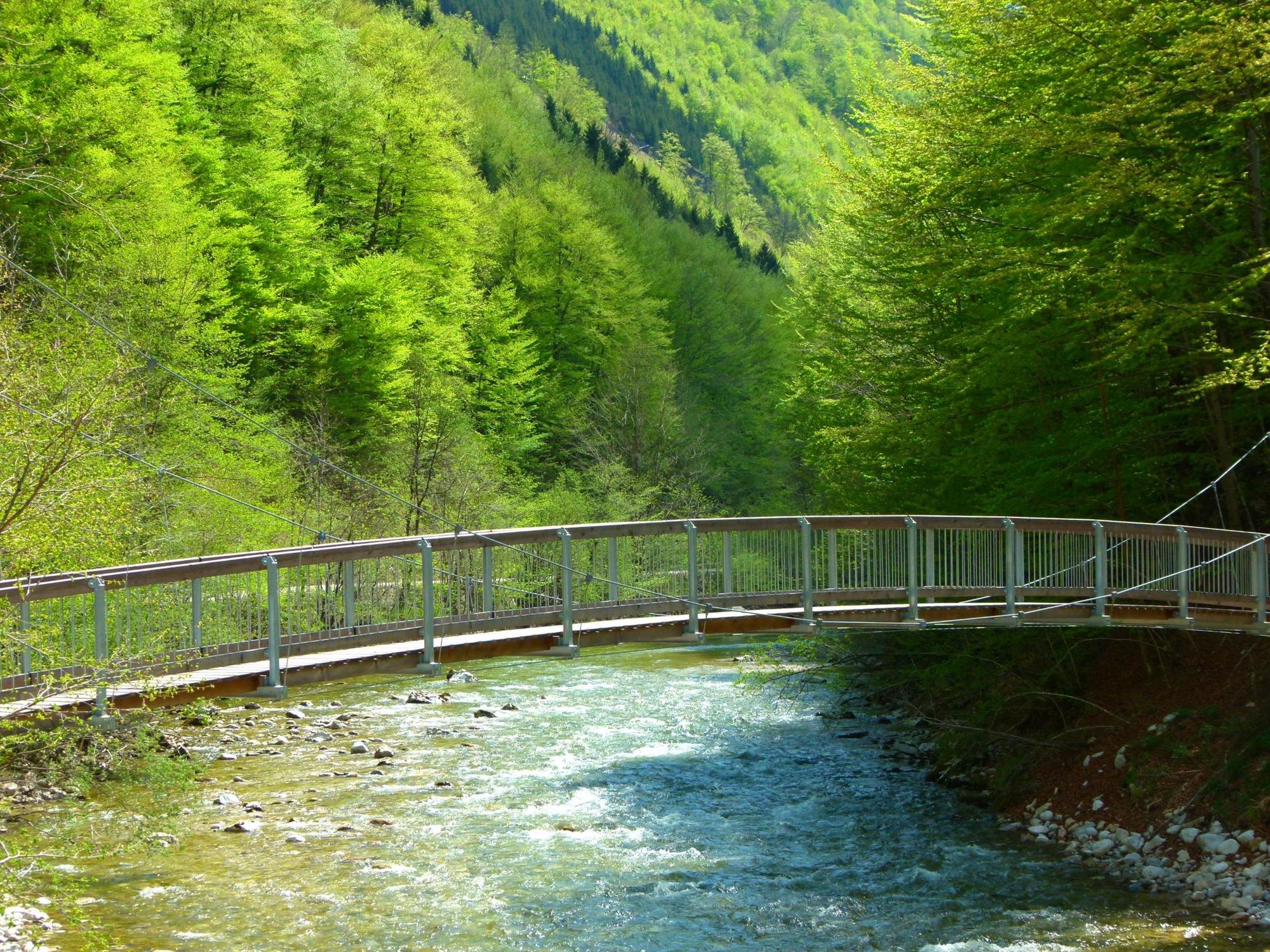
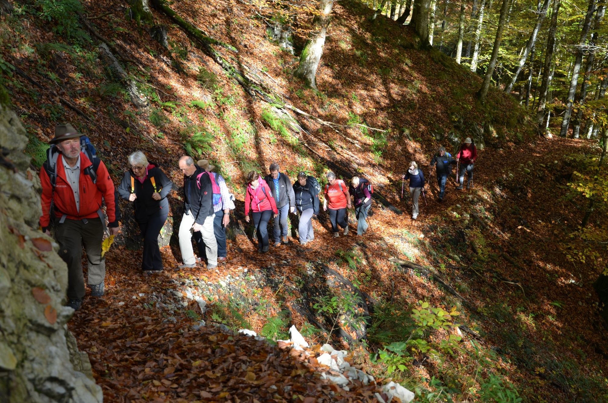
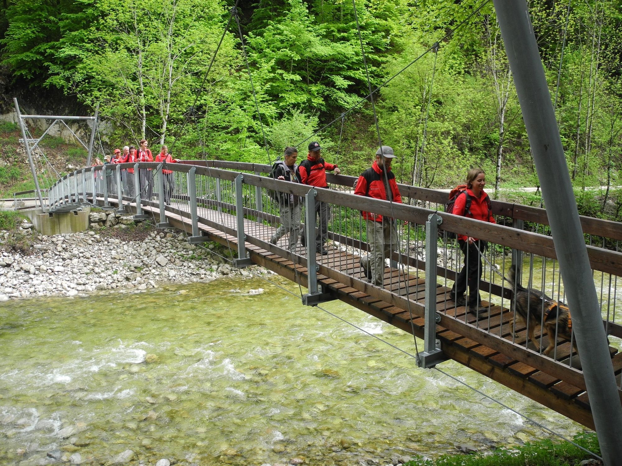
Experience World Natural Heritage!
Once woodcutters & alpine farmers used the old way to the Reichraminger Hintergebirge. Depending on your mood or fitness, the trail can be hiked in two stages.
- Sværhedsgrad
-
medium
- Evaluering
-
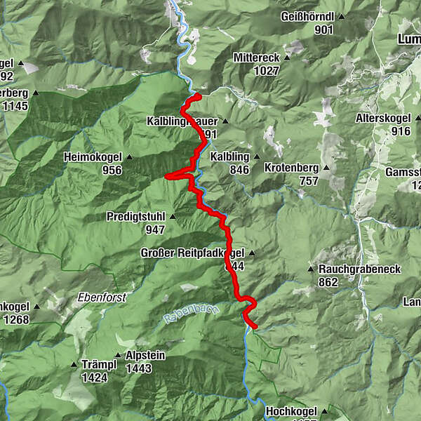
- Rute
-
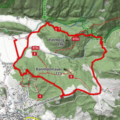
Wilder Graben3,1 kmGroße Klaushütte9,5 km
- Bedste sæson
-
janfebmaraprmajjunjulaugsepoktnovdec
- Højeste punkt
- 525 m
- Destination
-
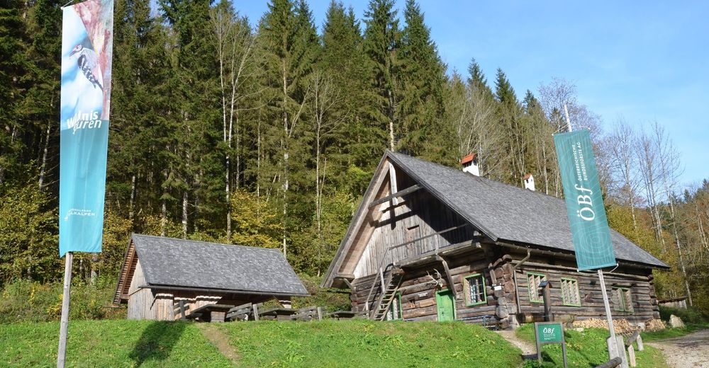
Klaushütte
- Højdeprofil
-


- Forfatter
-
Rundvisningen Wilderness Trail Buchensteig (Reichraminger Hintergebirge) bruges af outdooractive.com forudsat.
GPS Downloads


Generel information
Forfriskningsstop
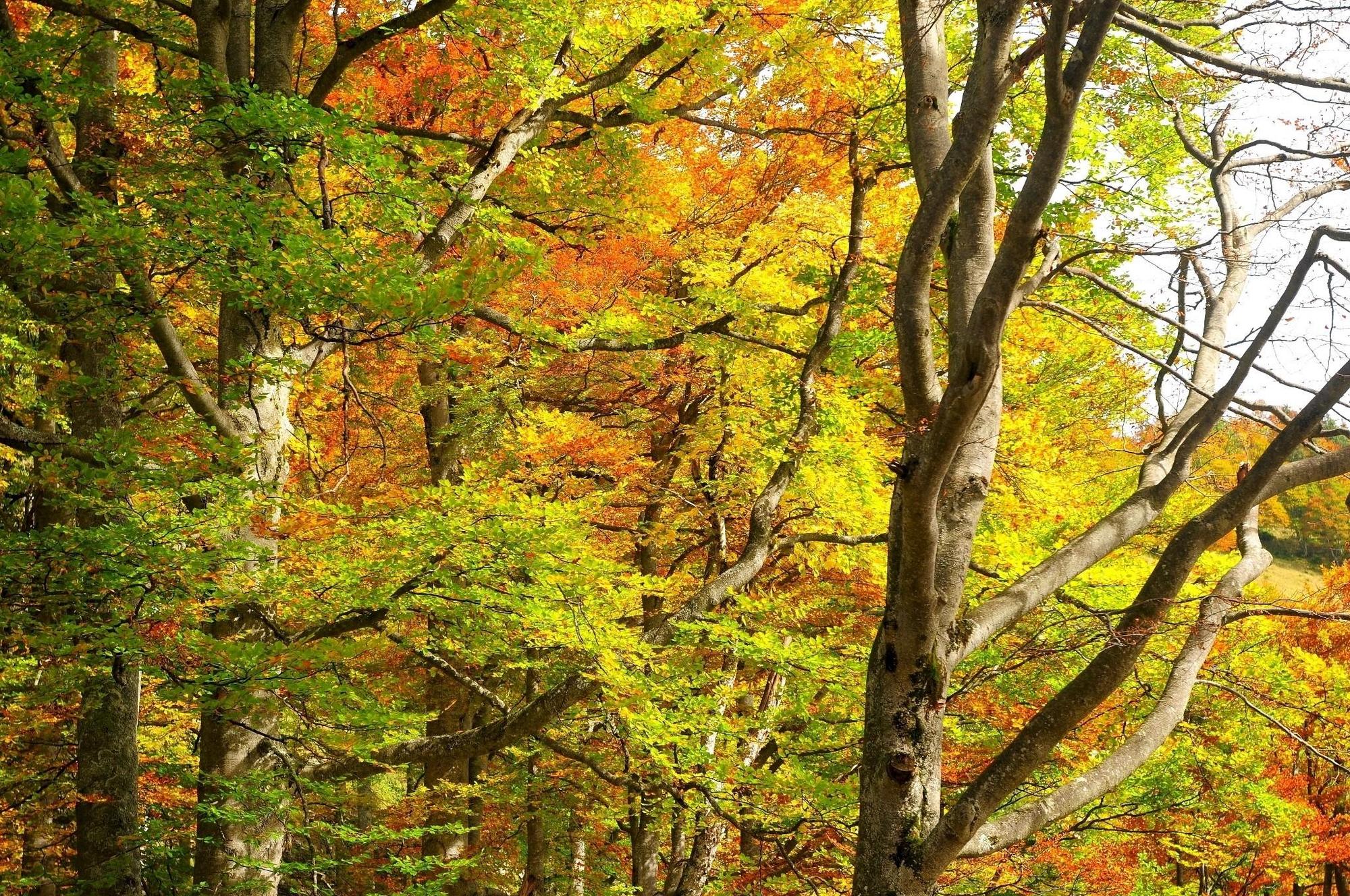
Flora
Flere ture i regionerne
-
Traunviertel
1940
-
Steyr und die Nationalpark Region
1371
-
Reichraming
363