© TV Gesäuse - Tourismusverband Gesäuse
© TV Gesäuse - Tourismusverband Gesäuse

© TV Gesäuse - Tourismusverband Gesäuse

© Erlebnisregion Murtal - Team Erlebnisregion Murtal

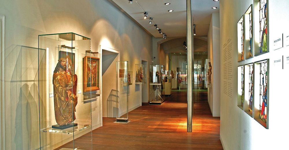
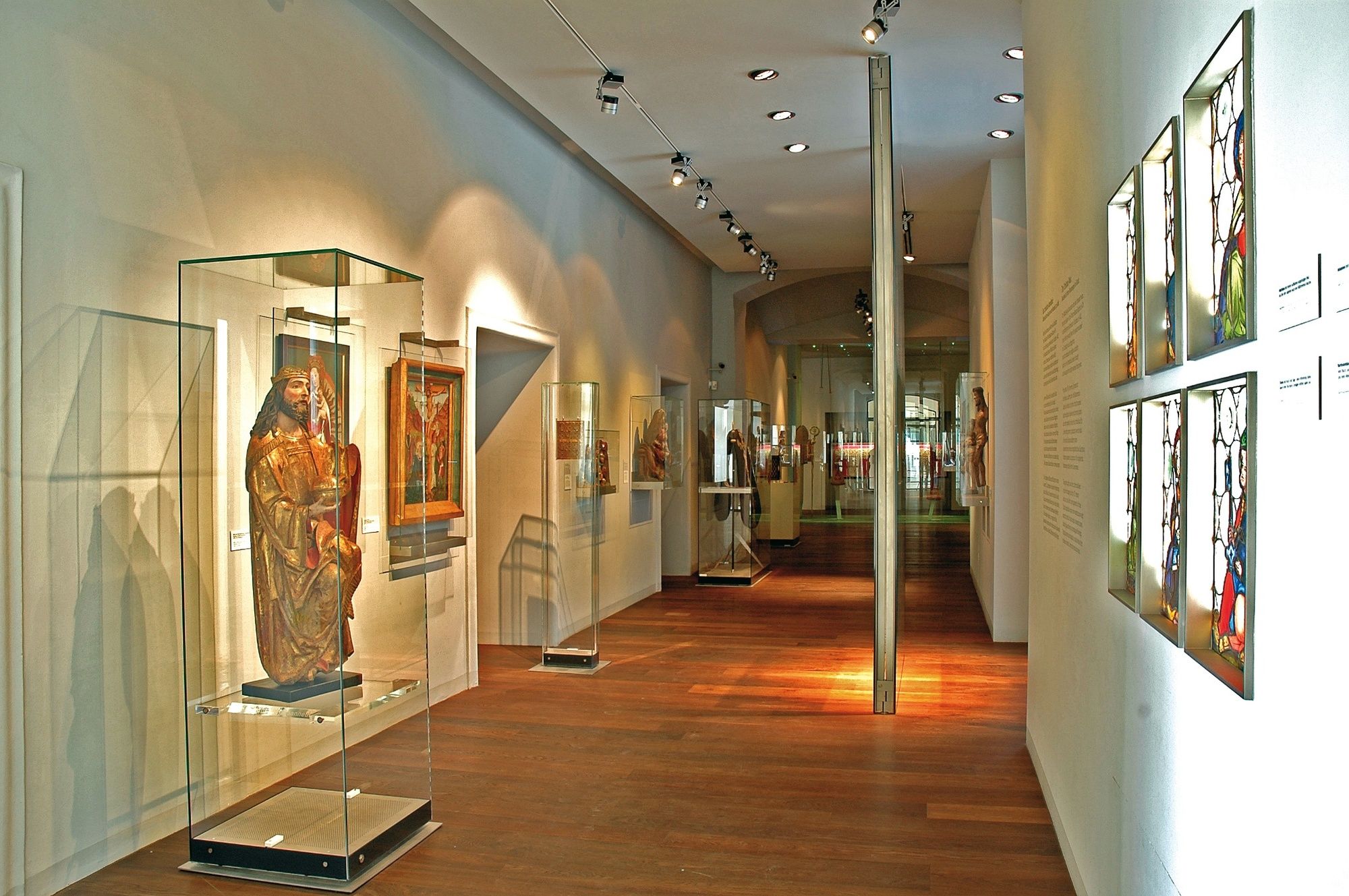
© KULTUM Graz

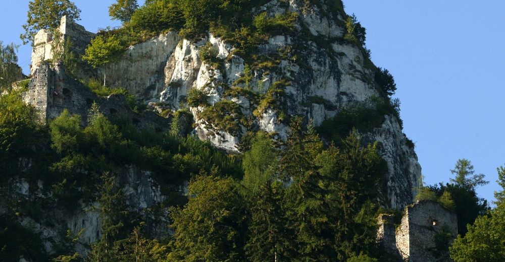
© Wolfgang Mitteregger
© Komfort Appartements Zirbenland - Bernd Pfandl

- Kort beskrivelse
-
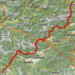
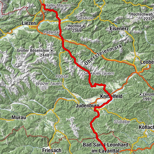
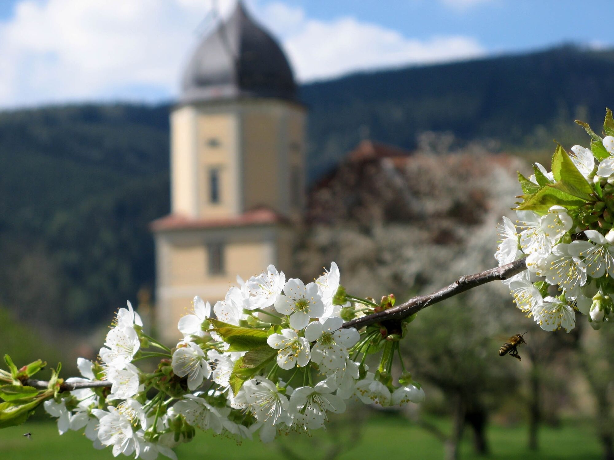
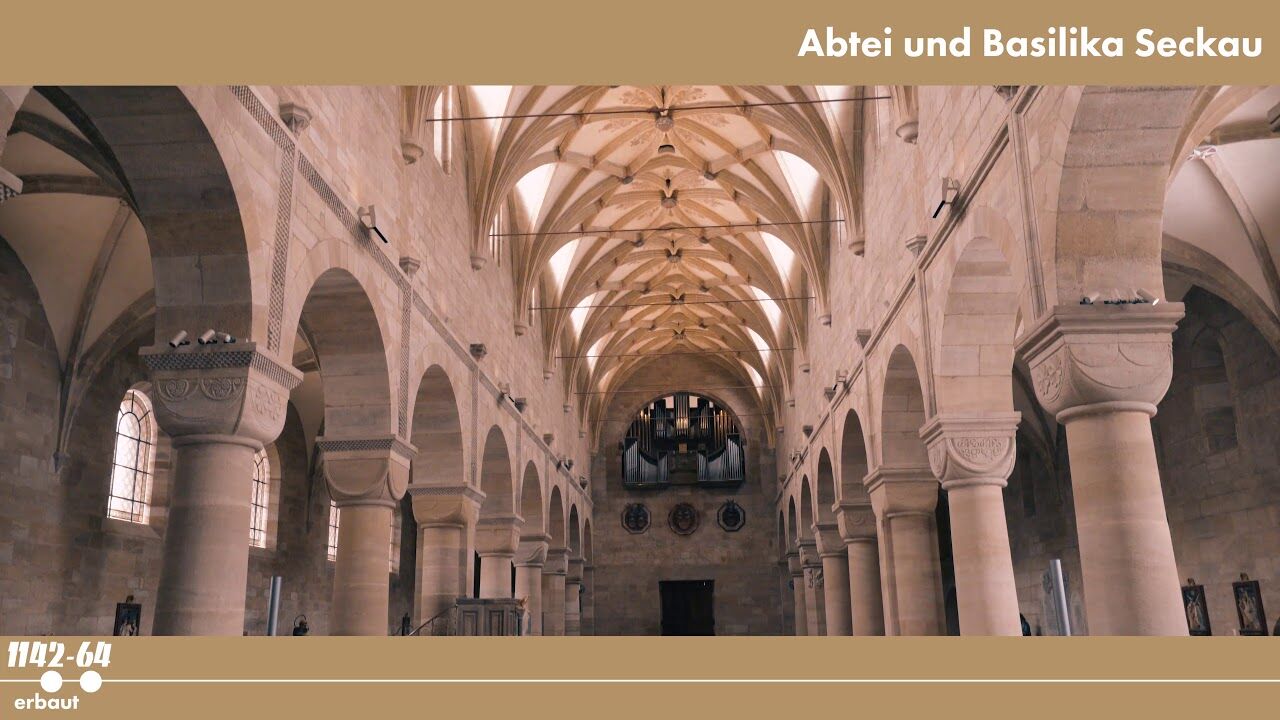
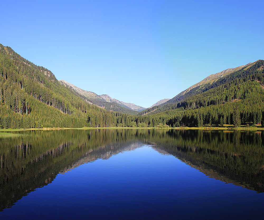
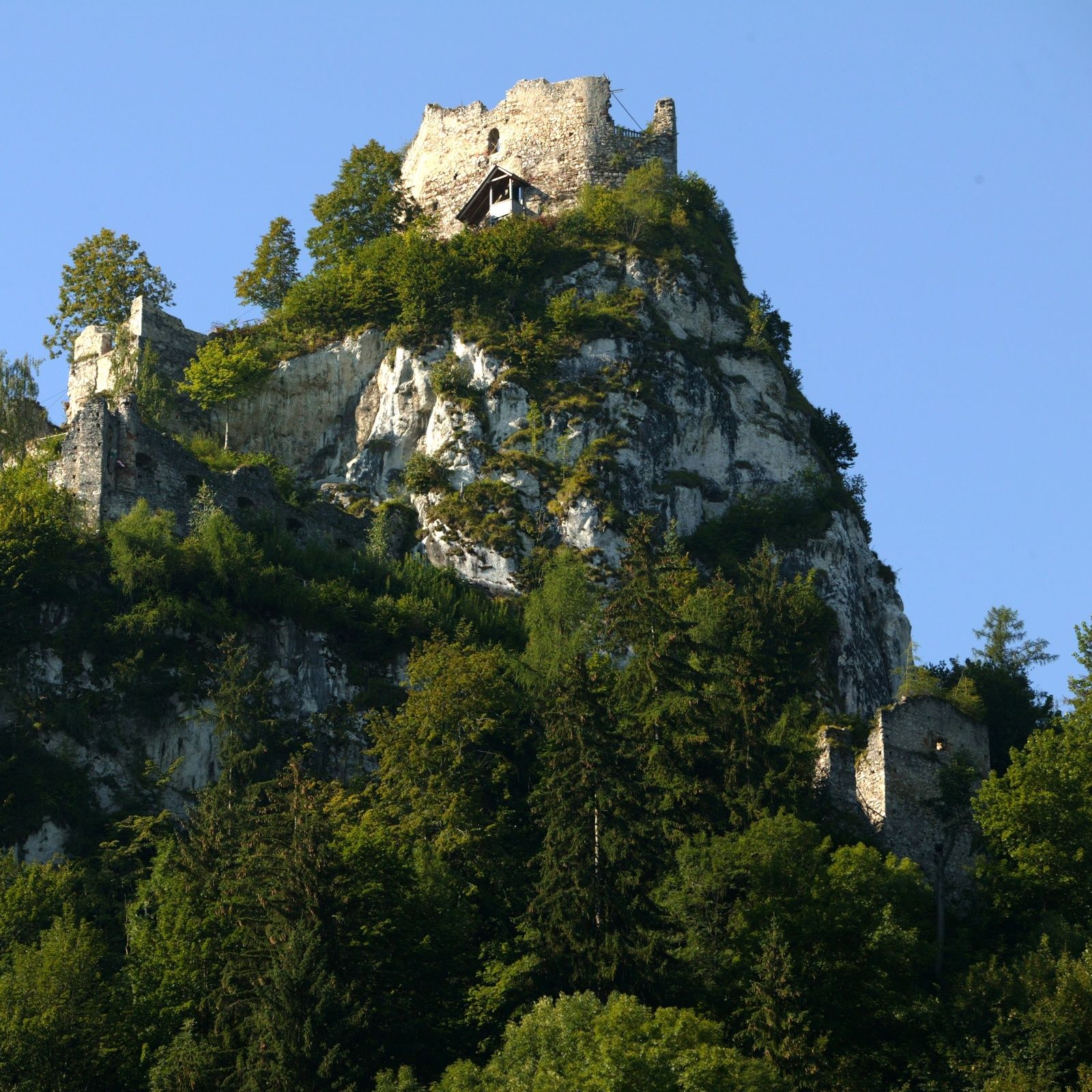
The section of the Benedikt's Route through Styria takes us from monastery to monastery - from Admont via Seckau to Carinthia. Scenic highlights are the national park Gesäuse and the crossing of the Niedere Tauern. Nature and culture alternate and small towns are also on the plan to complement the lush nature experiences.
- Sværhedsgrad
-
medium
- Evaluering
-
- Rute
-
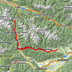
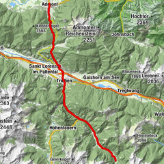
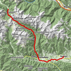
Spital am Pyhrn0,1 kmBosruckhütte4,2 kmRohrauer Haus6,4 kmPyhrgasgatterl (1.308 m)6,6 kmAdmont17,9 kmParadies20,0 kmKaiserau (1.114 m)23,3 kmDietmannsdorf bei Trieben26,6 kmFilialkirche hl. Johannes der Täufer26,7 kmRestaurant-Pizzeria Giovanni28,7 kmTrieben28,9 kmGasthaus Triebenerhof29,1 kmBrodjäger34,5 kmGasthof Braun37,0 kmTriebentalhütte37,5 kmTriebental41,4 kmBergerhube42,3 kmKettentalalm45,2 kmKettentörl (1.864 m)46,2 kmSeeboden52,8 kmKlementikapelle53,2 kmLandgasthaus Kaiser63,0 kmIngering II63,1 kmBischoffeld64,1 kmVorwitz65,6 kmGasthof Steinmühle70,4 kmSeckau72,7 kmRestaurant Hofwirt72,7 kmLuciakapelle72,9 kmFriedhofskapelle72,9 kmGasthaus Puster "Zur Post"73,0 kmKalvarienkirche76,0 kmTremmelberg (1.194 m)76,6 kmBraunikapelle80,4 kmNeuhautzenbichl81,1 kmMoschee82,1 kmKnittelfeld82,3 kmStadtpfarrkirche Christus als König82,4 kmKirche der Siebenten-Tags-Adventisten83,0 kmWeyern85,2 kmMöbersdorf90,5 kmSilberrain91,4 kmFisching92,7 kmMaria Buch95,7 kmHauserbauerkapelle96,9 kmBaierdorf97,0 kmEppenstein99,5 kmMühldorf100,2 kmKathal104,7 kmKathal in Obdachegg107,2 kmPfarrkirche St. Ägyd111,1 kmJohanneskapelle111,2 kmObdach111,5 kmObdacher Sattel (955 m)115,2 kmObdacher Sattel (955 m)115,4 kmTaxwirt117,4 kmReichenfels (809 m)120,1 kmHl. Jakobus d. Ältere120,2 kmHirschenwirt120,3 kmAlte Mühle120,4 kmMoos123,2 kmBärnthaler125,5 kmBadsiedlung126,1 kmMarienerscheinung126,7 kmBad Sankt Leonhard im Lavanttal (714 m)126,8 km
- Bedste sæson
-
janfebmaraprmajjunjulaugsepoktnovdec
- Højeste punkt
- 1.842 m
- Destination
-
Reichenfels
- Højdeprofil
-


-

-
ForfatterRundvisningen On the Benedikt-Route through Styria bruges af outdooractive.com forudsat.
GPS Downloads


Generel information
Forfriskningsstop
Kulturel/Historisk
Flora
Lovende
Flere ture i regionerne
-
Erlebnisregion Murtal
1783
-
Gaal
244