On the tracks of the Waldbahn from Reichraming, bicycle tour

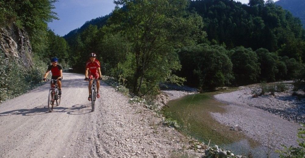
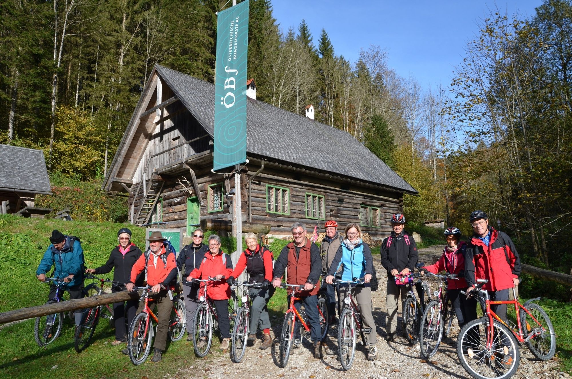
Mountainbike

© Nationalpark Kalkalpen - <a href="http://www.kalkalpen.at">Nationalpark Kalkalpen</a>

© Nationalpark Kalkalpen - <a href="http://www.kalkalpen.at">Nationalpark Kalkalpen</a>
© Nationalpark Kalkalpen - <a href="http://www.kalkalpen.at">Nationalpark Kalkalpen</a>
© Nationalpark Kalkalpen - <a href="http://www.kalkalpen.at">Nationalpark Kalkalpen</a>

© Nationalpark Kalkalpen - <a href="http://www.kalkalpen.at">Nationalpark Kalkalpen</a>
© Nationalpark Kalkalpen - <a href="http://www.kalkalpen.at">Nationalpark Kalkalpen</a>

© Nationalpark Kalkalpen - <a href="http://www.kalkalpen.at">Nationalpark Kalkalpen</a>

- Kort beskrivelse
-
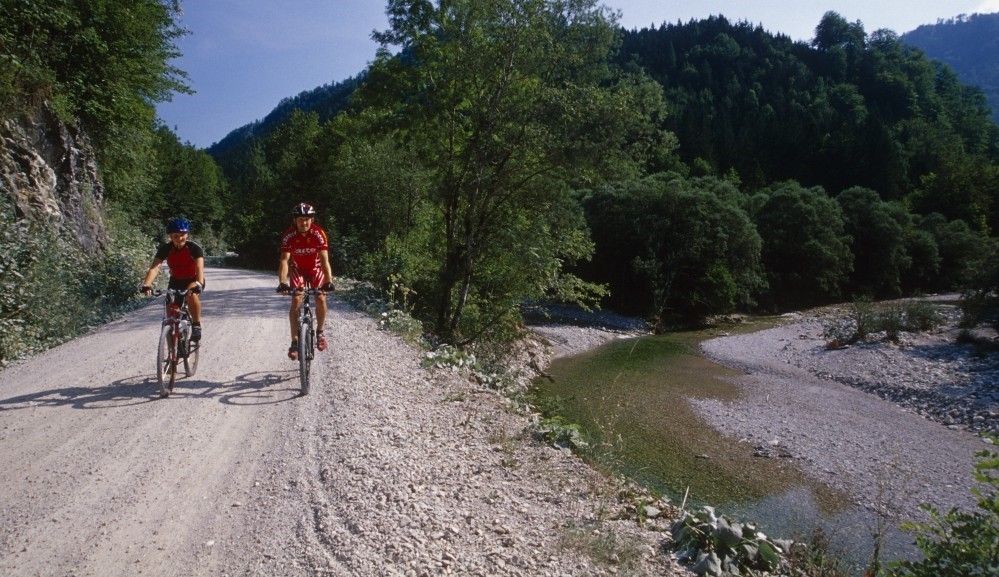
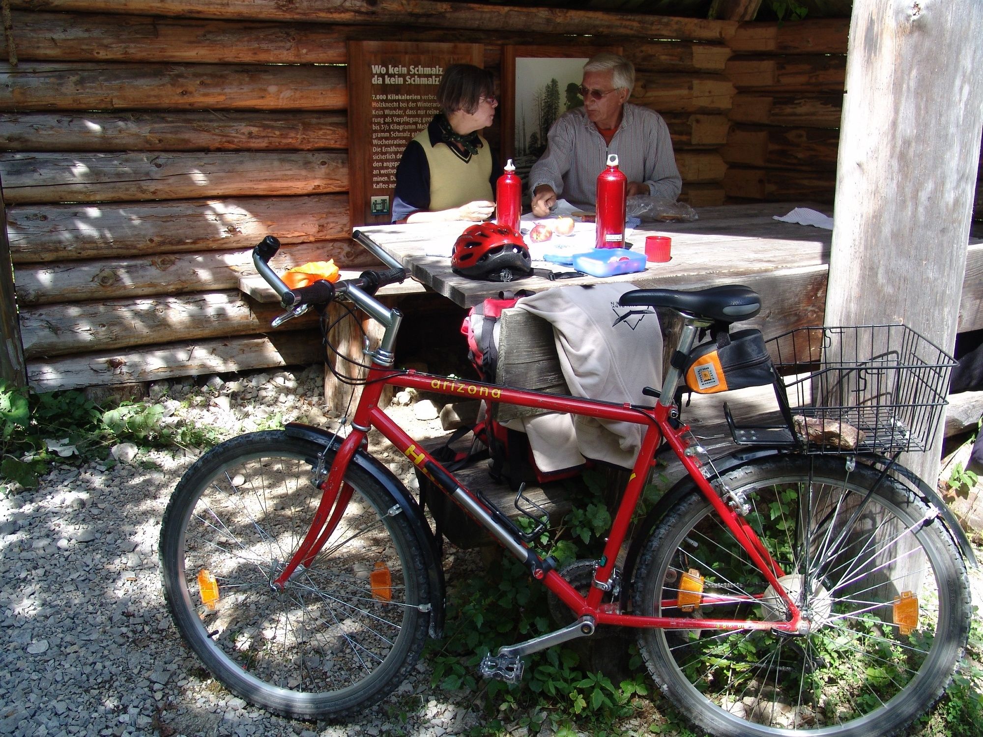
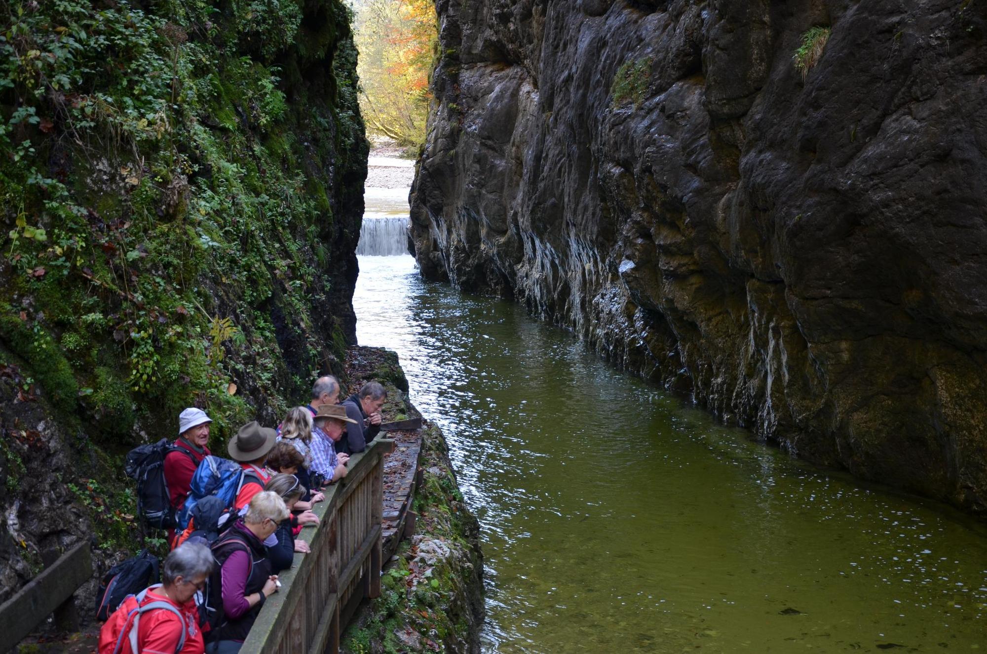
Bicycle tour along the Hintergebirgsradweg with slight ascents to Weißwasser and a short, steeper ascent to the Hirschkogelsattel, followd by a rapid descent to Brunnbach.
- Sværhedsgrad
-
medium
- Evaluering
-
- Rute
-
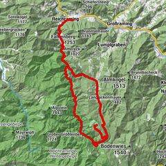
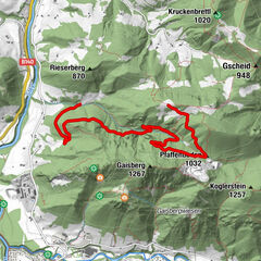
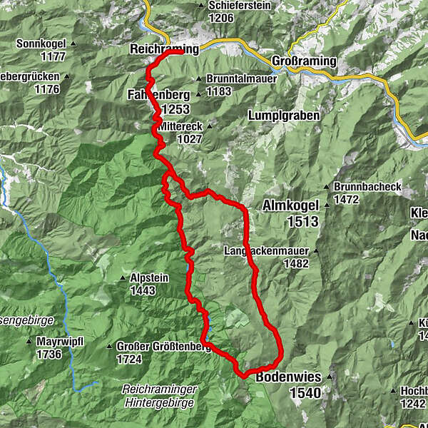
ReichramingReichraming0,7 kmGroße Klause14,4 kmSchleierfall19,5 kmWeißwasser23,8 kmHirschkogelsattel (882 m)26,5 kmBrunnbachstadl32,0 kmBrunnbach (522 m)32,3 kmReichraming44,8 kmReichraming45,4 km
- Bedste sæson
-
janfebmaraprmajjunjulaugsepoktnovdec
- Højeste punkt
- 877 m
- Destination
-
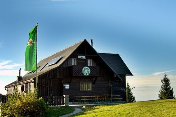
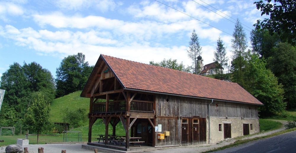
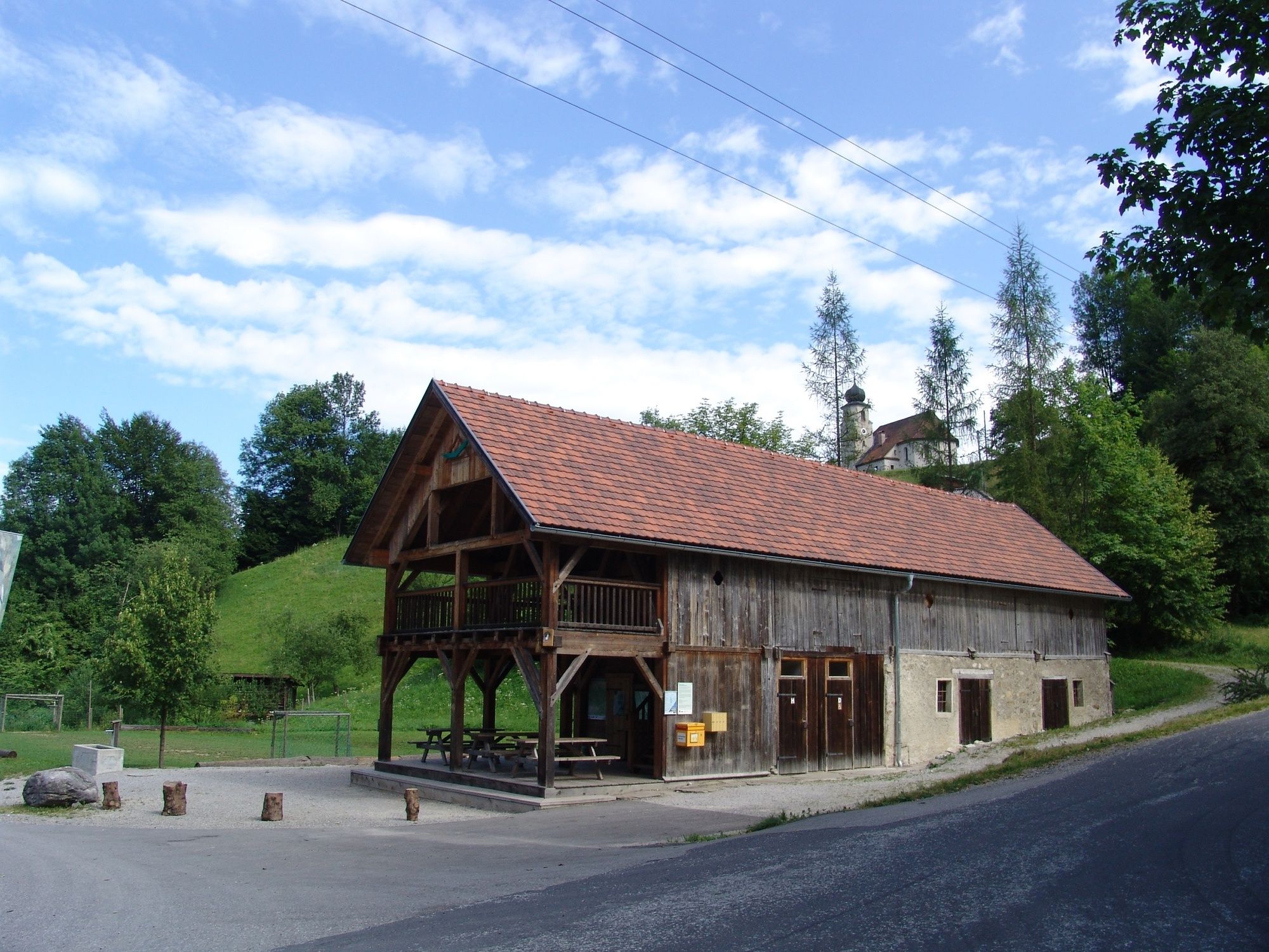
Klaushütte, Parking Anzenbach or train station Reichraming
- Højdeprofil
-


- Forfatter
-
Rundvisningen On the tracks of the Waldbahn from Reichraming, bicycle tour bruges af outdooractive.com forudsat.
GPS Downloads


Generel information
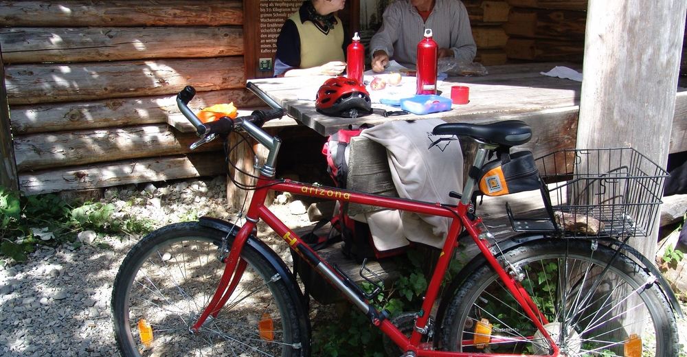
Forfriskningsstop
Kulturel/Historisk
Flere ture i regionerne