© Tourismusverband Filzmoos - Herbert Raffalt

- Kort beskrivelse
-
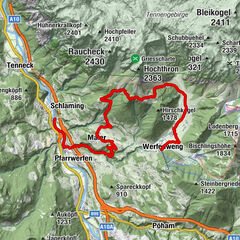
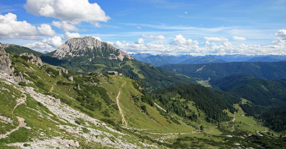
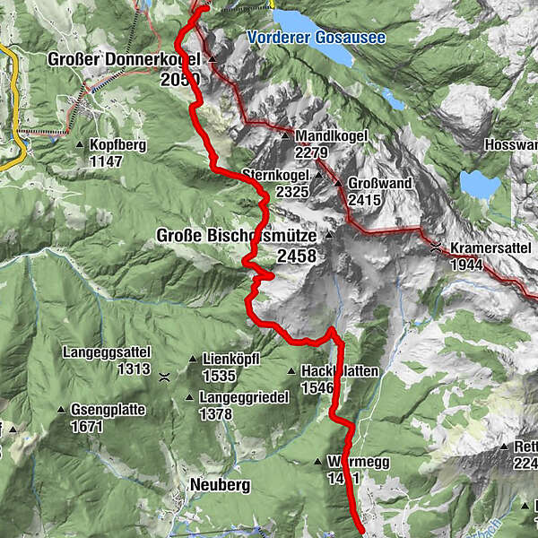
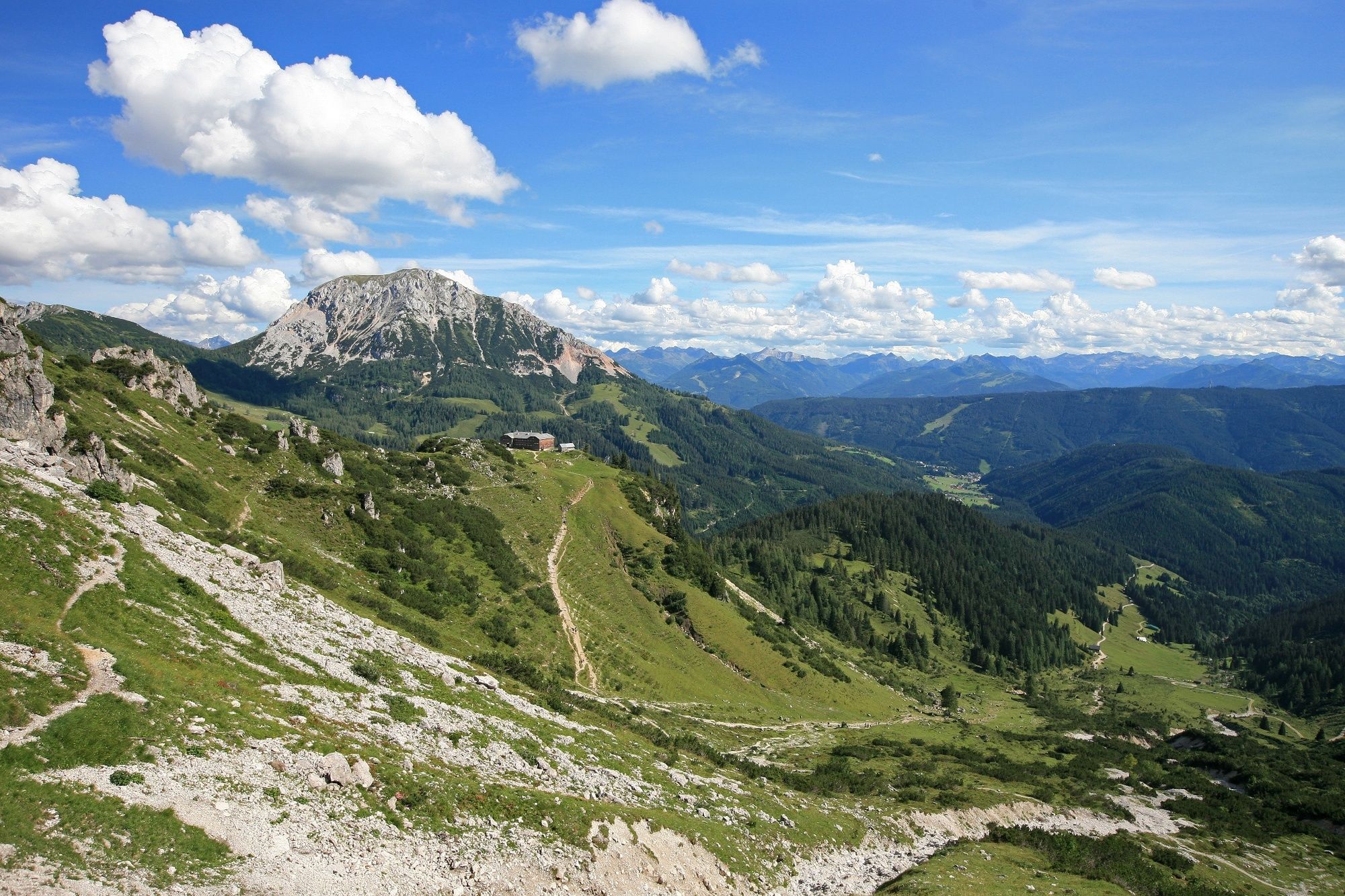
3 day stage - hike around the Bischofsmütze mountain, alpine picture book landscape, changing views of the Bischofsmütze mountain, Thaumling, Gosausee lake, Tauern. Mountaineering memorial on the Gosau side.
- Sværhedsgrad
-
medium
- Evaluering
-
- Rute
-
Gablonzer Hütte0,0 kmBreininghütte0,1 kmStuhlalm3,6 kmDurchgangscharte (1.601 m)5,4 kmSulzkarhütte7,7 kmAualm10,5 kmKirchgasshütte10,8 kmMarcheggsattel (1.220 m)12,5 km
- Bedste sæson
-
janfebmaraprmajjunjulaugsepoktnovdec
- Højeste punkt
- 1.664 m
- Destination
-
Toll road Hofalmen
- Højdeprofil
-

- Forfatter
-
Rundvisningen Around the Bischofsmütze mountain - stage 3 bruges af outdooractive.com forudsat.
GPS Downloads


Generel information
Forfriskningsstop
Flora
Lovende
Flere ture i regionerne