Donausteig Stage 3_N07 Linz - Steyregg: „Summit assault in the Linzer Basin“

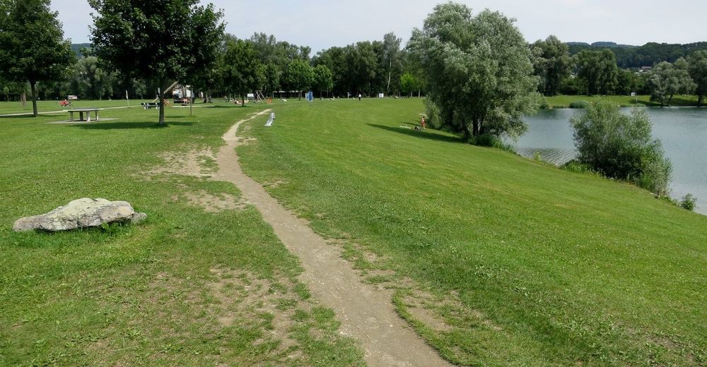
© WGD Donau Oberösterreich Tourismus GmbH/Kranzmayr
© WGD Donau Oberösterreich Tourismus GmbH/Kranzmayr
© WGD Donau Oberösterreich Tourismus GmbH/Kranzmayr
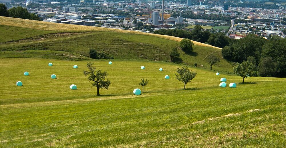
© WGD Donau Oberösterreich Tourismus GmbH/Andreas Kranzmayr - Andreas Kranzmayr
© WGD Donau Oberösterreich Tourismus GmbH/Andreas Kranzmayr - Andreas Kranzmayr

© Donauregion
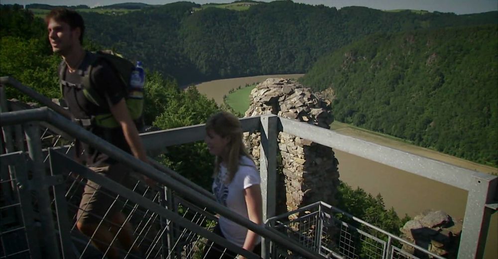
© WGD Donau Oberösterreich Tourismus GmbH

- Kort beskrivelse
-
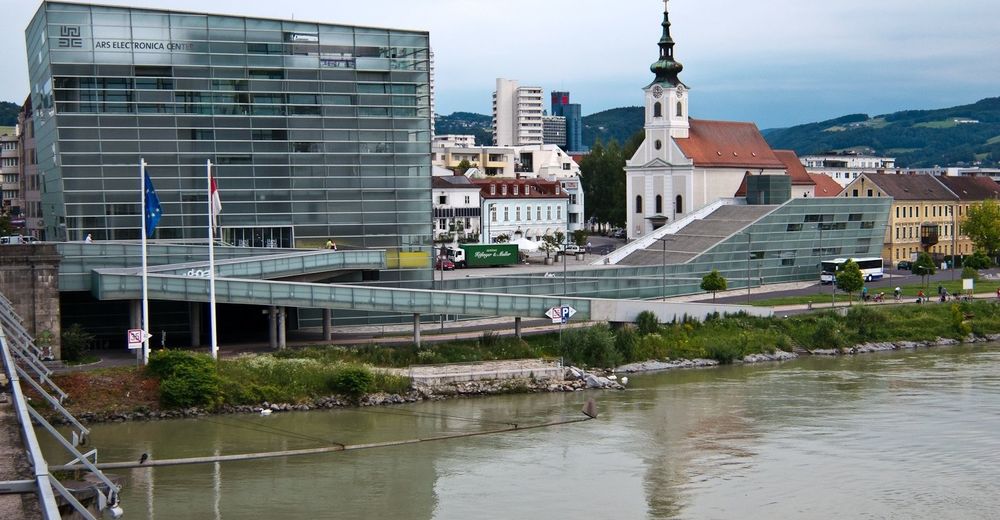
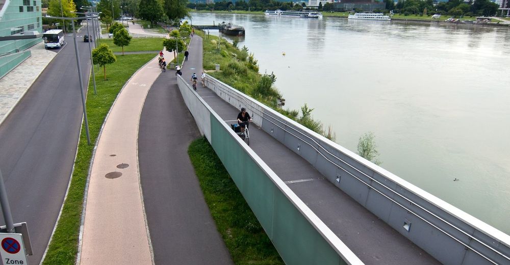
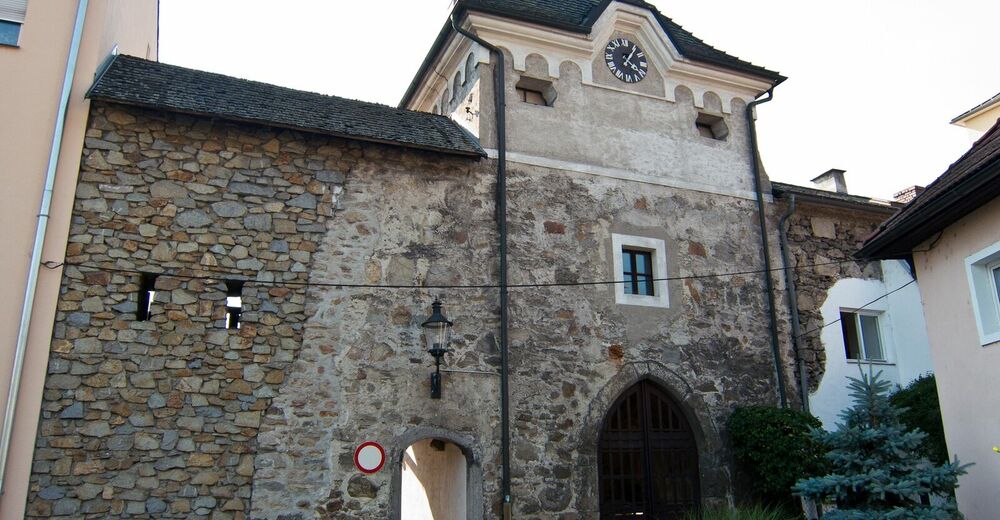
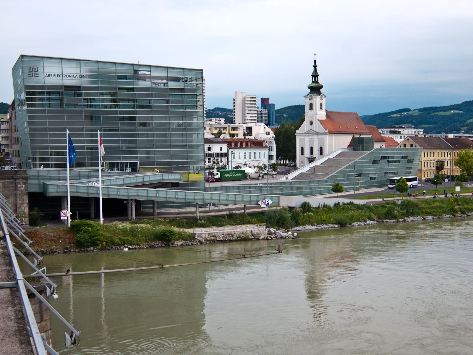
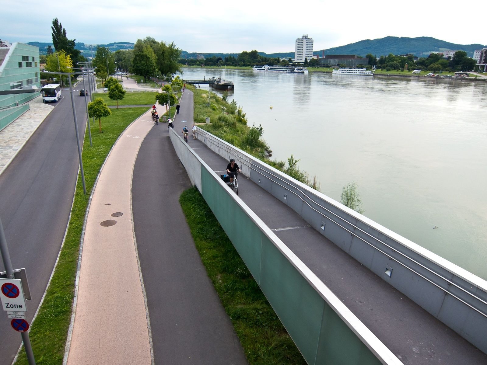
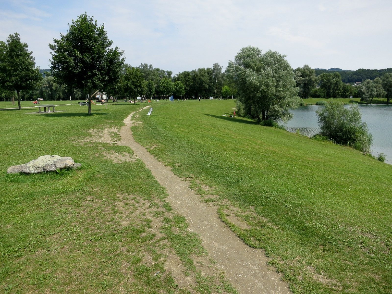
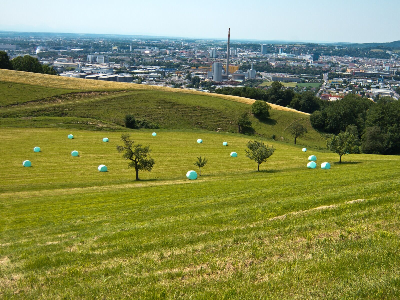
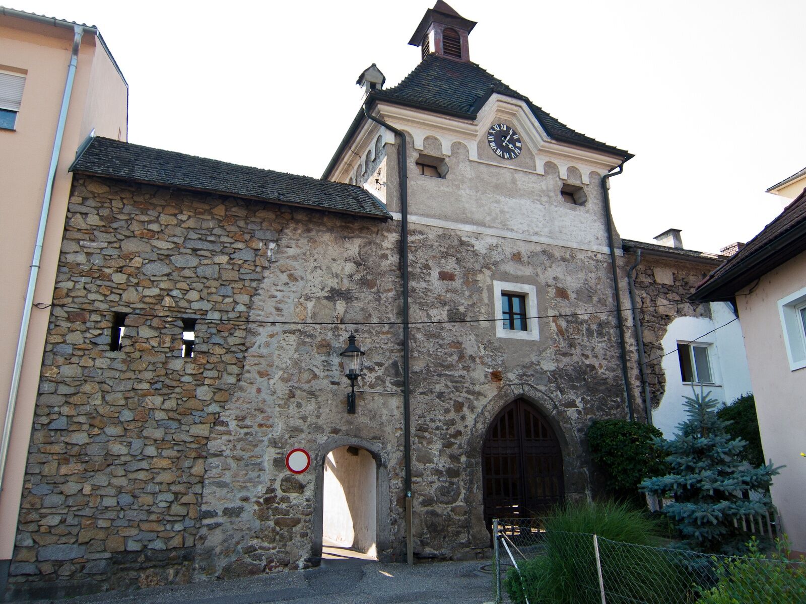
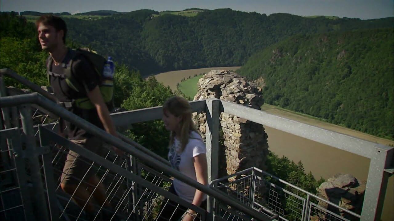
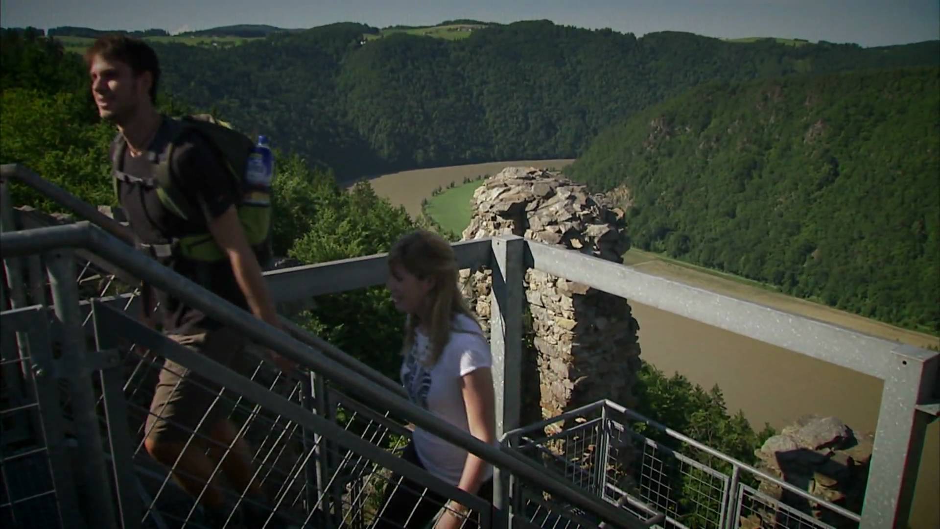
The Donausteig-simply fabulous! Summit assault onto the Pfenningberg (mountain) - one of the seven Danube climbing summits! On this contrasting stage we hike from Linz in the Linzer basin along the forest top of the Pfenningberg (mountain) through through the mühlviertler cultural landscape to Steyregg on the edge of the Donau plains. We discover Linz as a capital of culture, the unknown world of the "Danube" waterway, Vierkanthöfe (farms) as perfect forms of farmstead, the myth of the Lochsteine (stones), the medieval town of Steyregg...
- Sværhedsgrad
-
tung
- Evaluering
-
- Rute
-
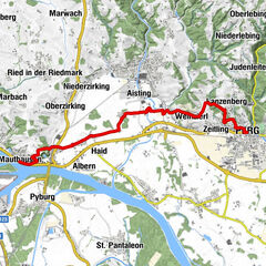
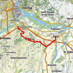
Linz (266 m)Landing place Linz - Nibelungen0,0 kmAlt-Urfahr0,1 kmDonaubus Anlegestelle0,3 kmSchiffsanlegestelle0,5 kmAnlegestelle MS Primadonna Linz - Donau Touristik0,8 kmPier Nr. 321,0 kmPlesching6,1 kmPredigtstuhl (346 m)7,2 kmLachstatt11,7 kmHolzwinden14,0 kmPulgarn (253 m)19,1 kmCnario21,2 kmSteyregg Ost21,5 kmSteyregg (259 m)21,8 kmGasthaus Weissenwolff21,9 km
- Bedste sæson
-
janfebmaraprmajjunjulaugsepoktnovdec
- Højeste punkt
- 535 m
- Destination
-
Steyregg-the Donausteig-starting point "Steyregg" lies on the east side of the tennis court's parking lots north of the Linzer main street
- Højdeprofil
-

- Forfatter
-
Rundvisningen Donausteig Stage 3_N07 Linz - Steyregg: „Summit assault in the Linzer Basin“ bruges af outdooractive.com forudsat.
GPS Downloads


Generel information
Forfriskningsstop
Flora
Lovende
Flere ture i regionerne
-
Mühlviertel
1784
-
Linz & Region Linz
847
-
Steyregg
316