Donausteig Stage 2_G02 Eferding - Wilhering: „Donau-water ways and living space"

© WGD Donau Oberösterreich Tourismus GmbH/Andreas Kranzmayr - Andreas Kranzmayr
© WGD Donau Oberösterreich Tourismus GmbH/Andreas Kranzmayr - Andreas Kranzmayr

© Donauregion
© WGD Donau Oberösterreich Tourismus GmbH
© WGD Donau Oberösterreich Tourismus GmbH

- Kort beskrivelse
-
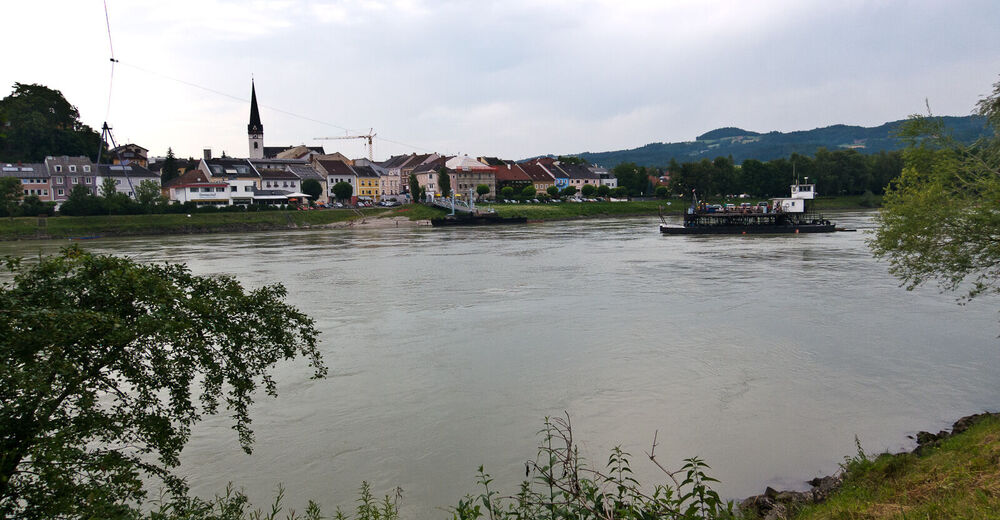
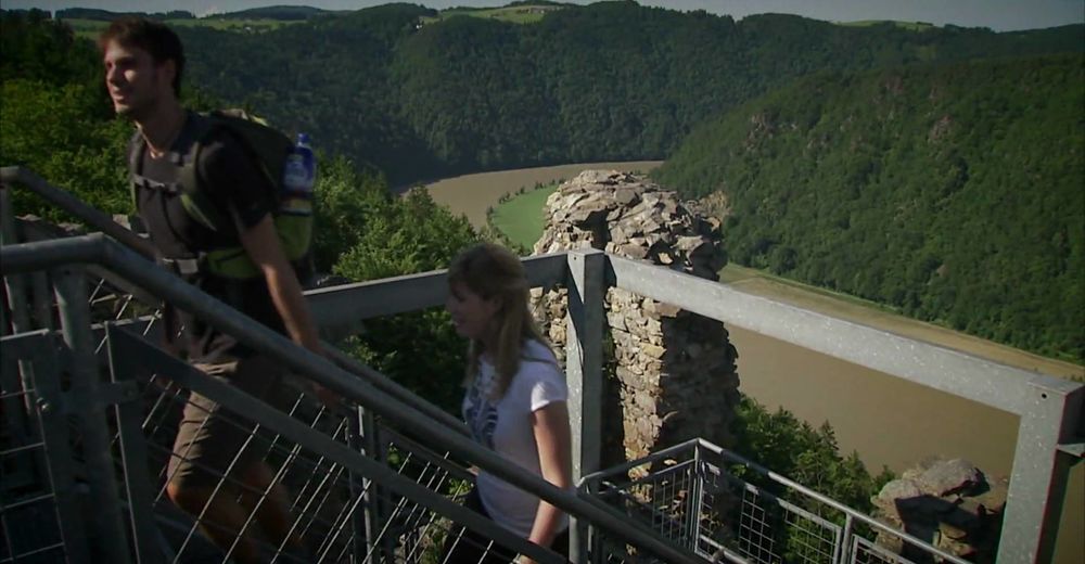
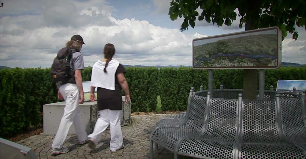
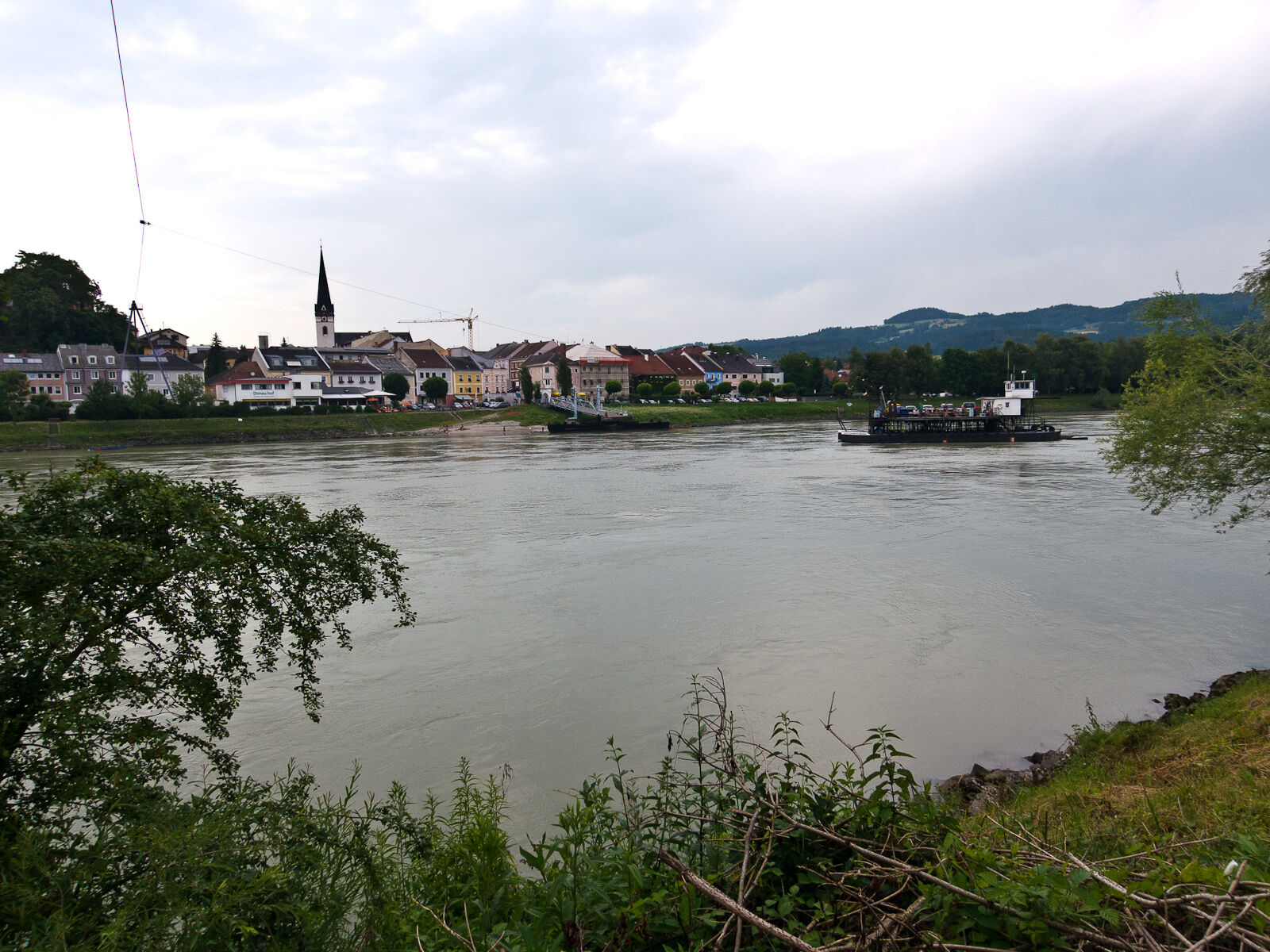
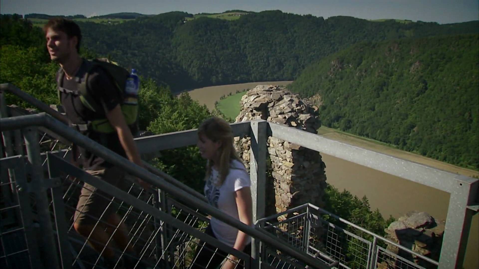
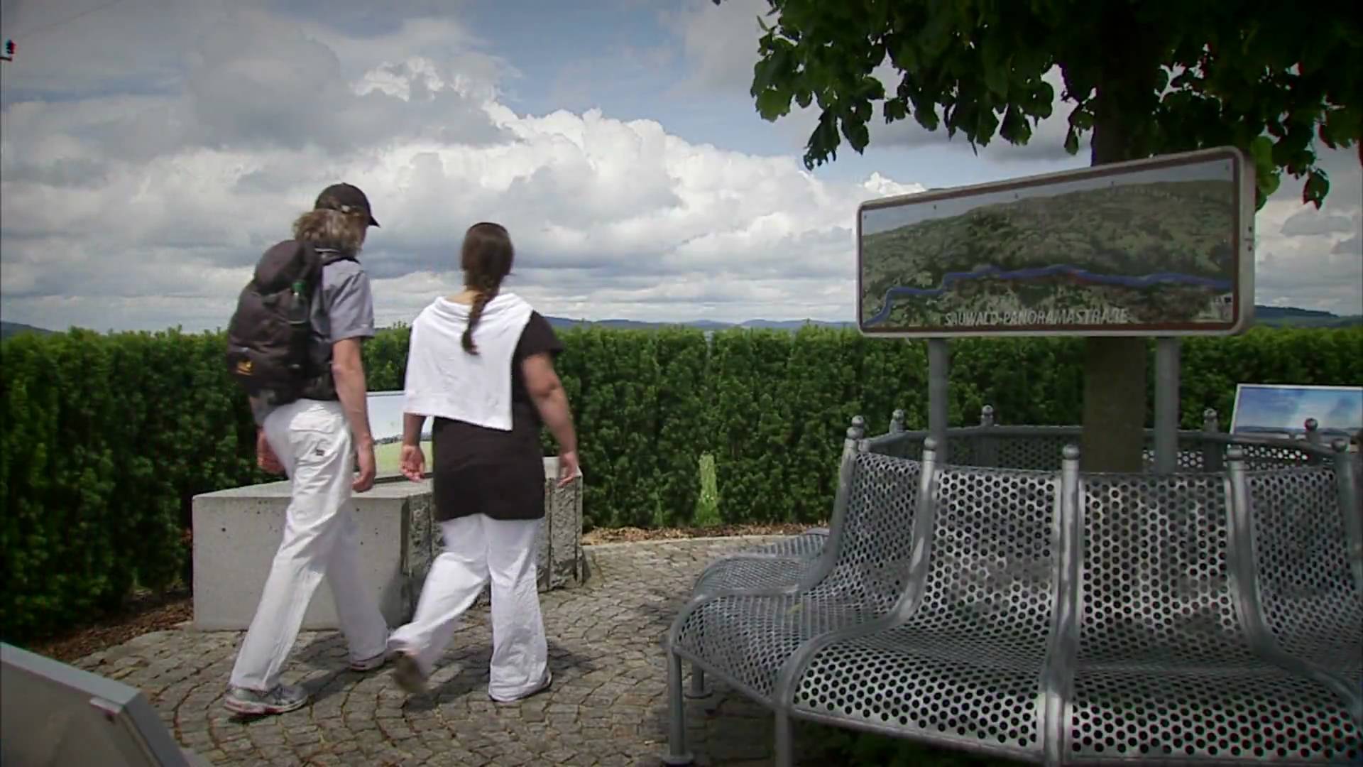
The Donausteig-simply fabulous! This stage will take us from Eferding in the centre of the fertile Eferding basin on the Danube, along the mighty Danube and through its plains to Wilhering an der Donau. We discover one of the oldest cities of in Austria, the Danube as a waterway, the importance of the marine, the giant fish of the Danube River, the ancient settlement of Wilhering...
- Sværhedsgrad
-
medium
- Evaluering
-
- Rute
-
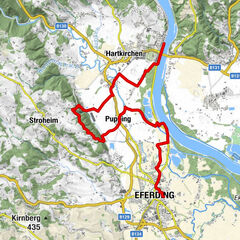
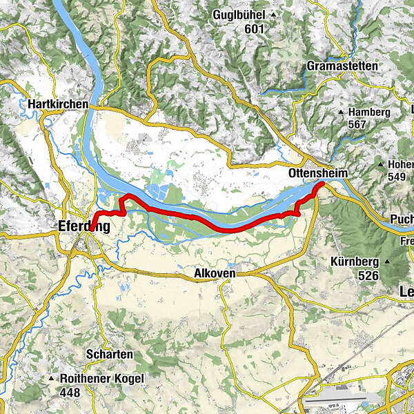
EferdingWörth0,6 kmUnterschaden1,9 kmFall12,4 kmWilhering Ufer14,5 kmOttensheim14,6 km
- Bedste sæson
-
janfebmaraprmajjunjulaugsepoktnovdec
- Højeste punkt
- 265 m
- Destination
-
Wilhering-The Donausteig-starting point "Wilhering" lies directly at the dock for the Danube ferry Ottensheim-Wilhering
- Højdeprofil
-


- Forfatter
-
Rundvisningen Donausteig Stage 2_G02 Eferding - Wilhering: „Donau-water ways and living space" bruges af outdooractive.com forudsat.
GPS Downloads


Generel information
Forfriskningsstop
Kulturel/Historisk
Flora
Flere ture i regionerne
-
Mühlviertel
1784
-
Donau Oberösterreich
780
-
Goldwörth
226