© Eifelverein OG Reifferscheid - Paul-Joachim Schmülling

© Gemeindentwicklung Hellentha - Biostation im Kreis Euskirchen
- Sværhedsgrad
-
let
- Evaluering
-
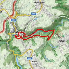
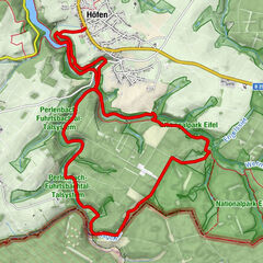
- Rute
-
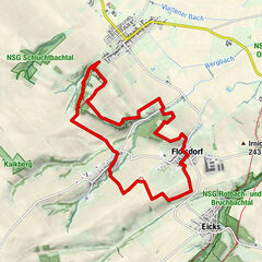
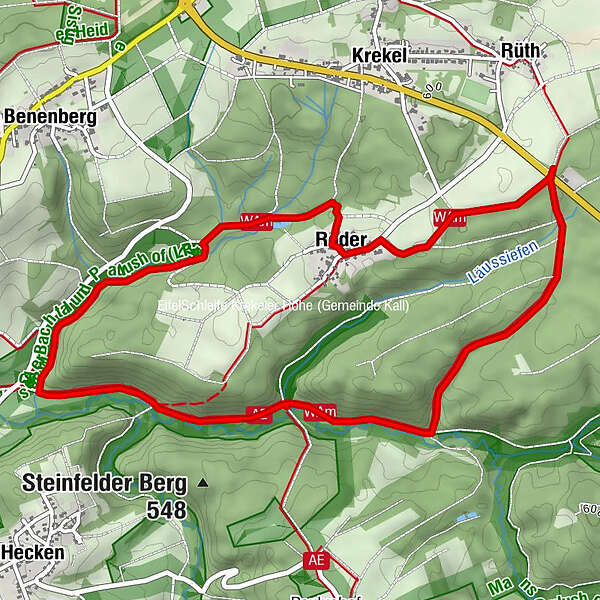
Rüth2,9 kmRoder3,9 km
- Bedste sæson
-
janfebmaraprmajjunjulaugsepoktnovdec
- Højeste punkt
- 585 m
- Destination
-
Startpunkt örtliche Wanderweg 16
- Højdeprofil
-
 © outdooractive.com
- Forfatter
-
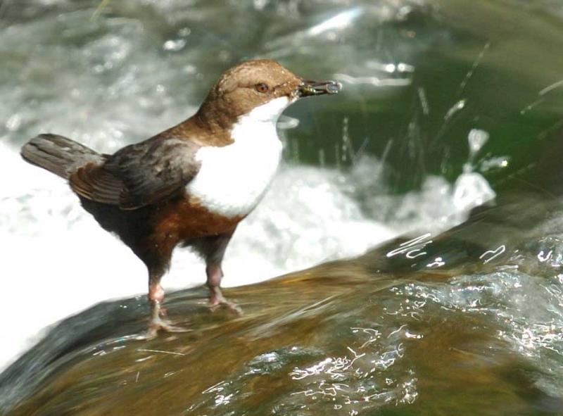
Rundvisningen Wasseramselpfad bruges af outdooractive.com forudsat.
GPS Downloads


Flere ture i regionerne
-
Eifel & Aachen
1426
-
Nordeifel
836
-
Kall
277