© Ostfriesland Tourismus - Ammerland Touristik

© Tobias Trapp - Ammerland Touristik

© Ostfriesland Tourismus - Ammerland Touristik

© Ostfriesland Tourismus - Ammerland Touristik

© Ostfriesland Tourismus - Ammerland Touristik

© Ostfriesland Tourismus - Ammerland Touristik

© Ostfriesland Tourismus - Ammerland Touristik

© Ostfriesland Tourismus - Ammerland Touristik

© Ostfriesland Tourismus - Ammerland Touristik

© Ostfriesland Tourismus - Ammerland Touristik

- Kort beskrivelse
-
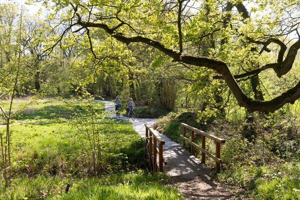
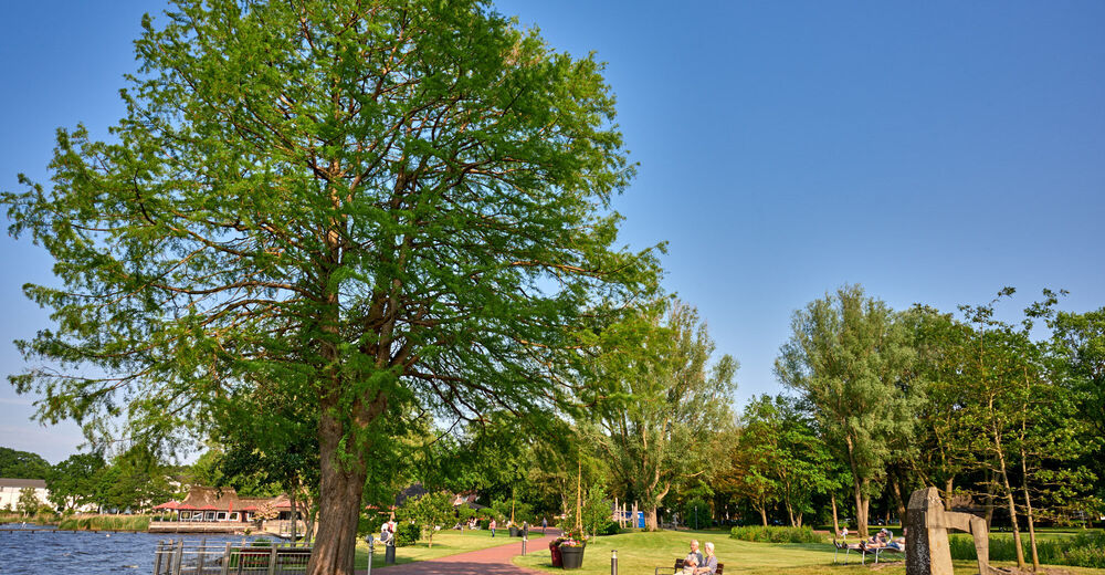
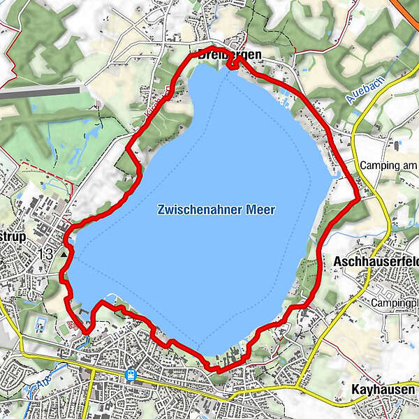
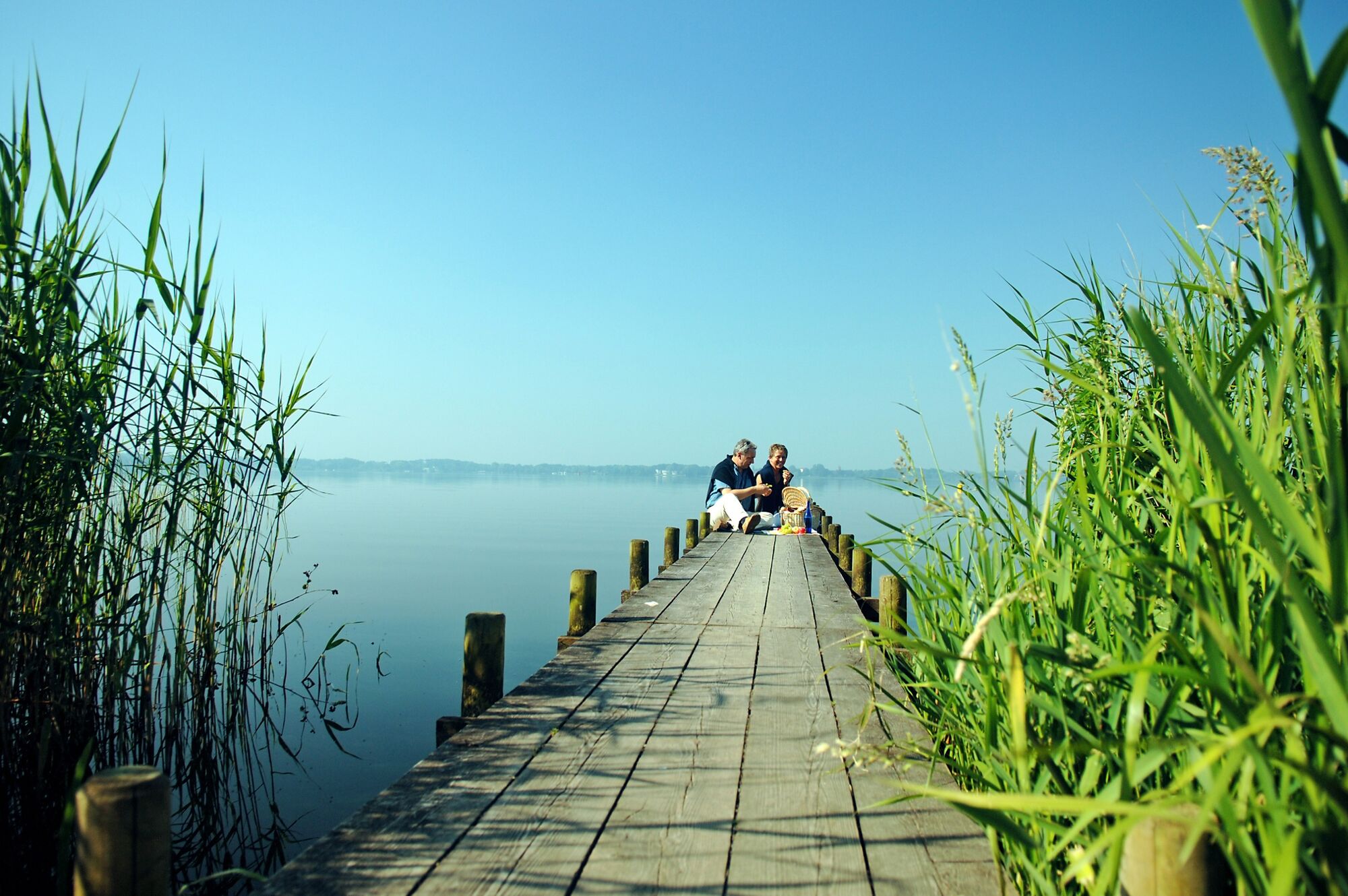
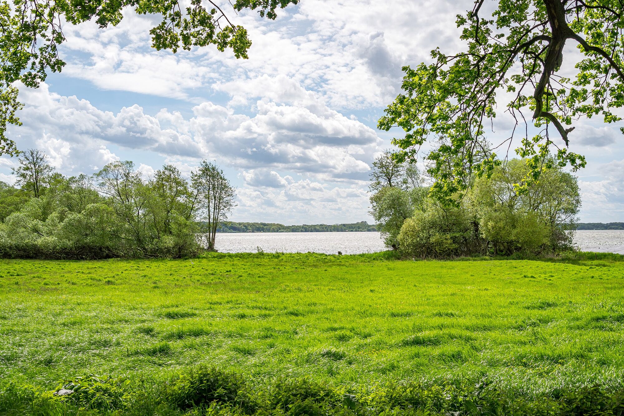
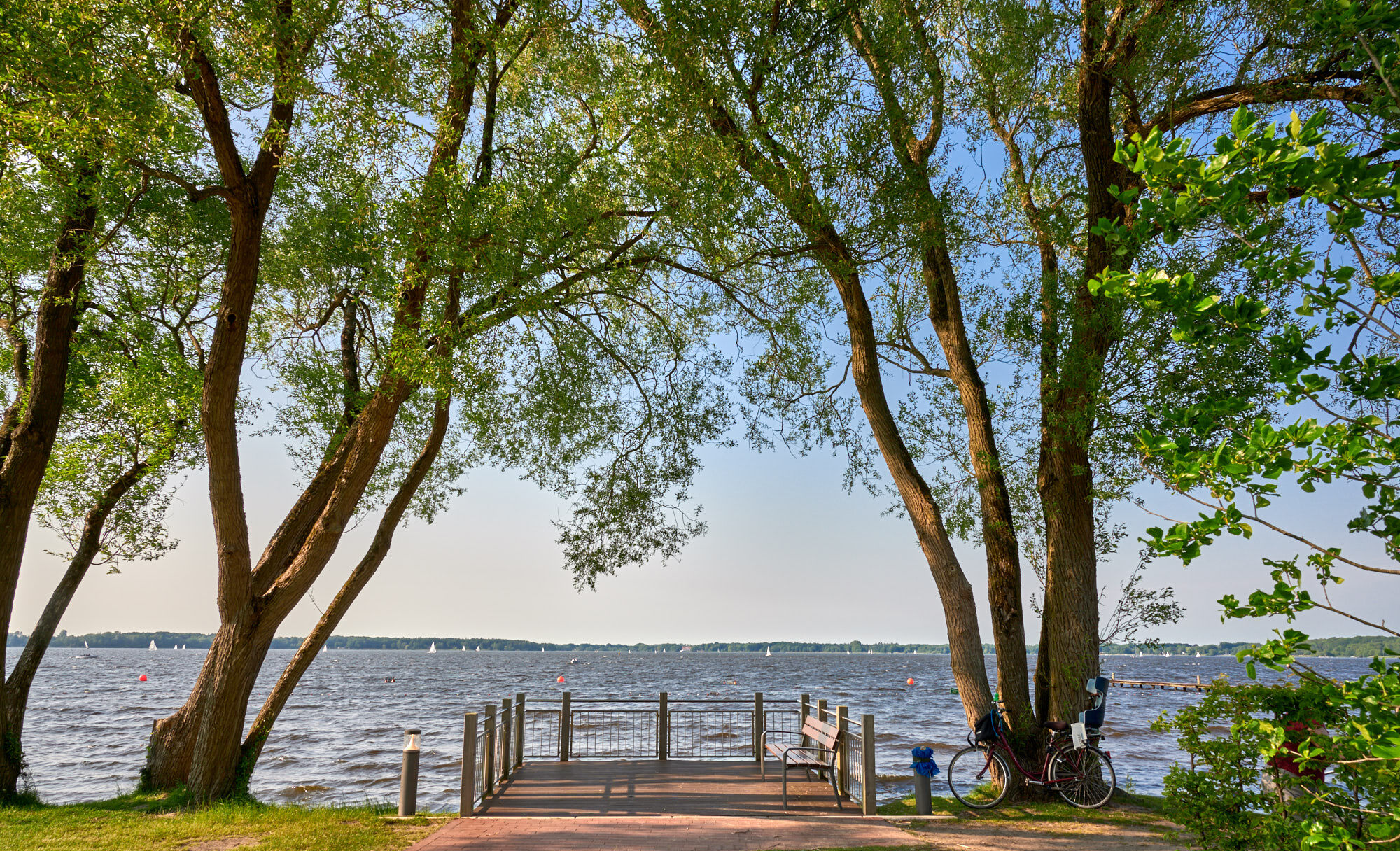
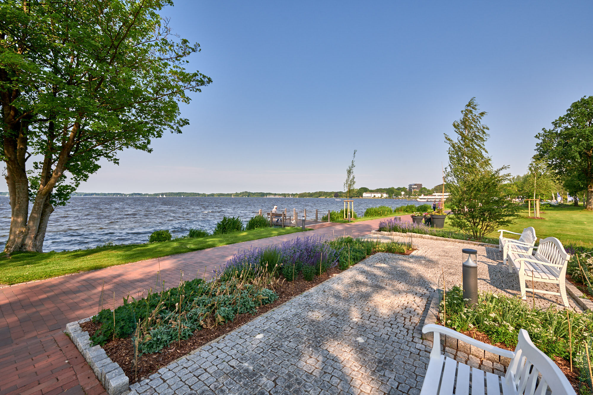
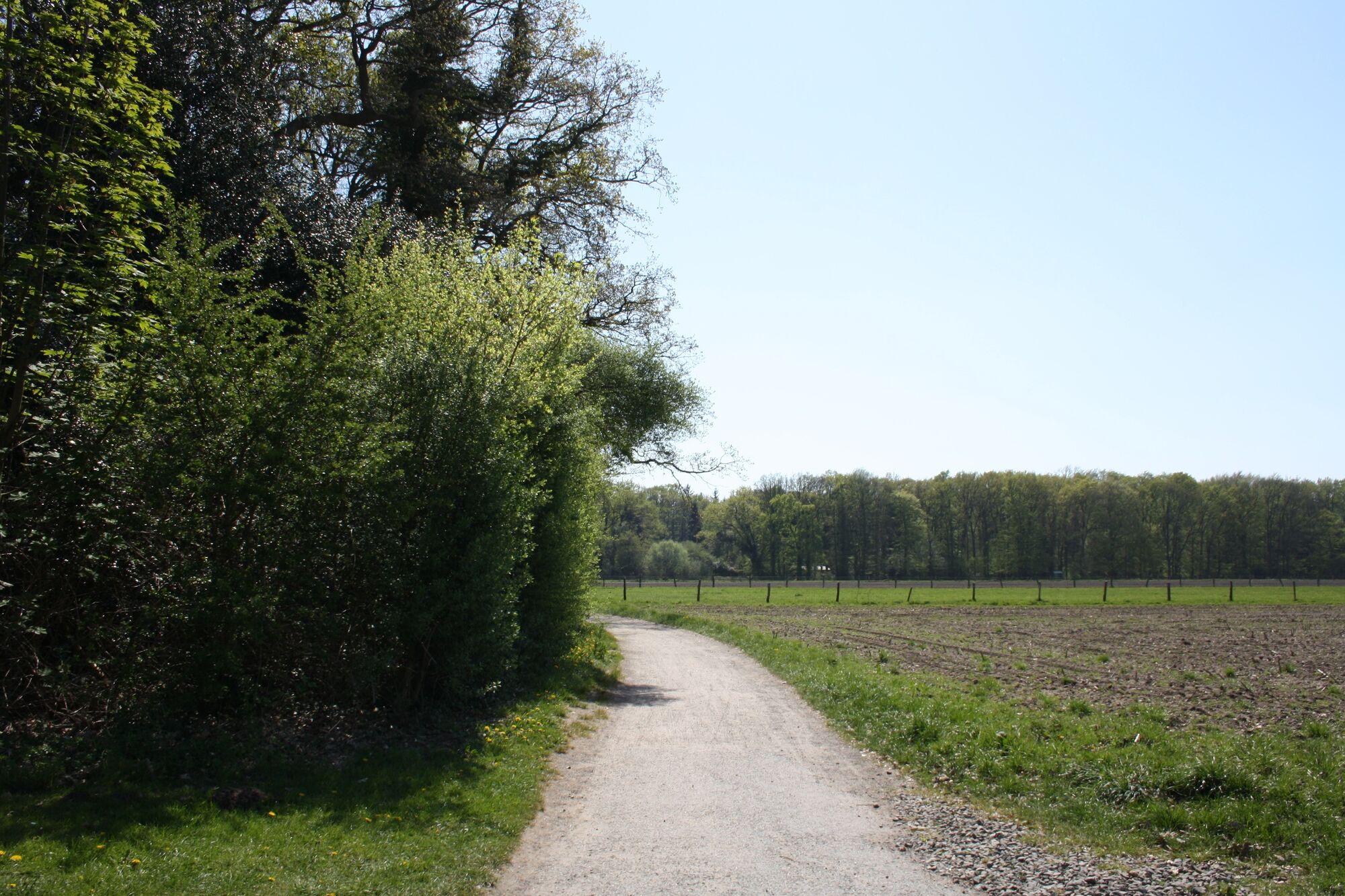
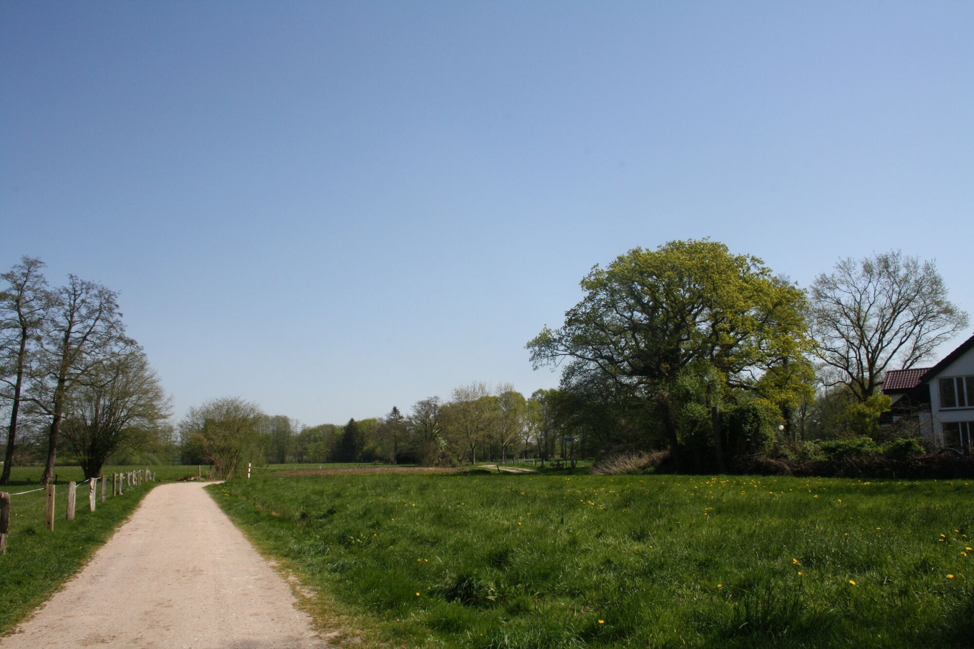
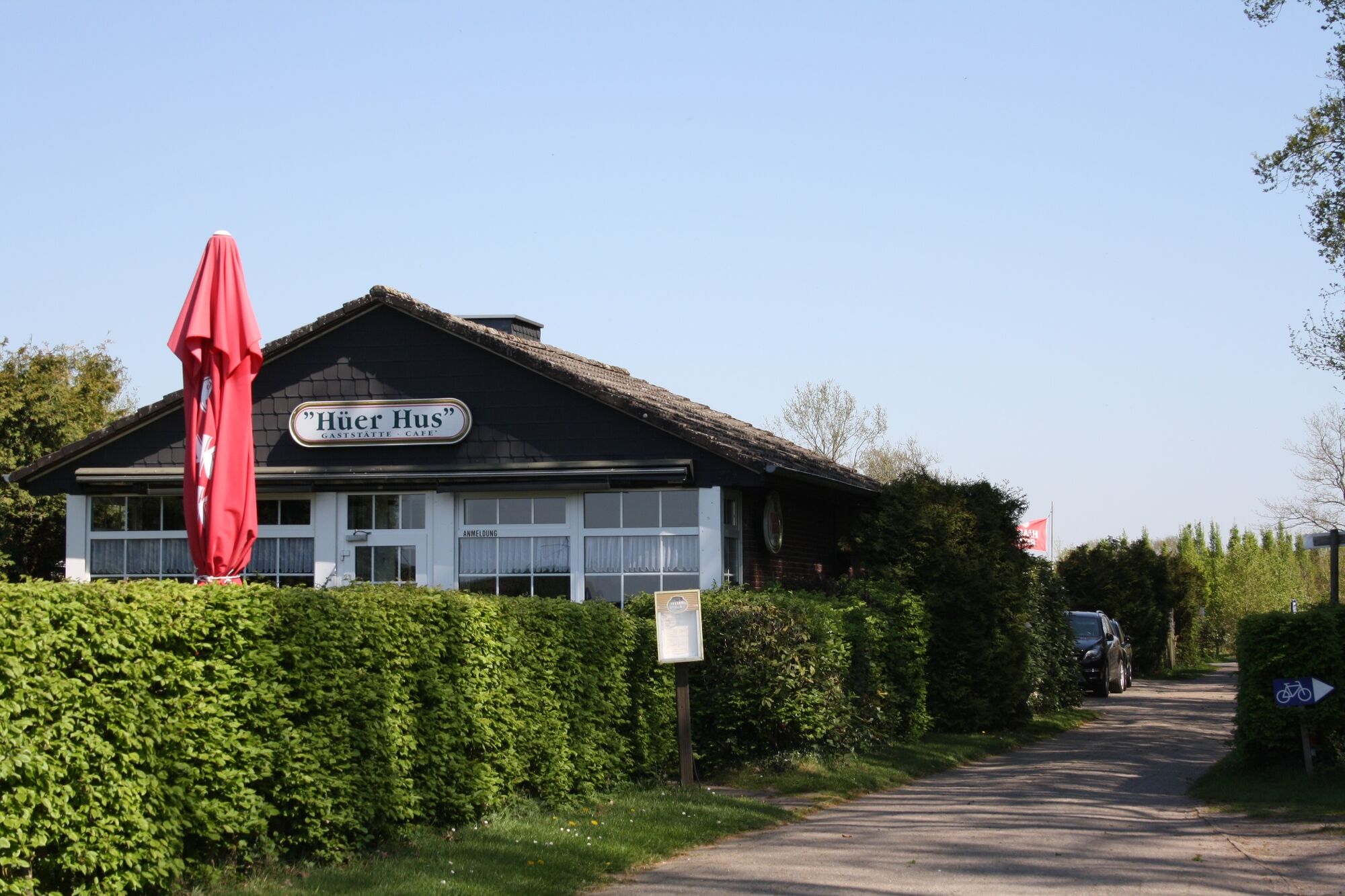
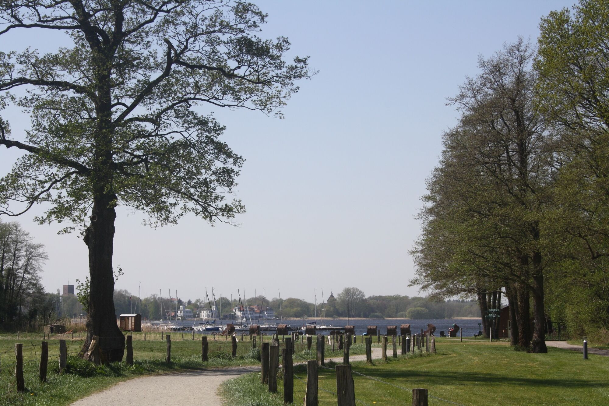
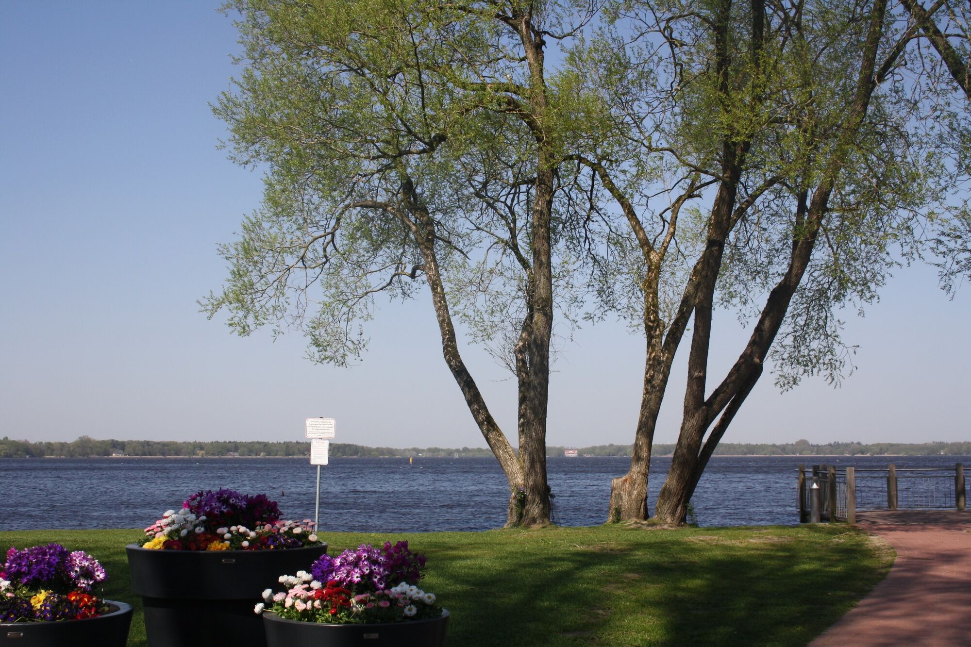
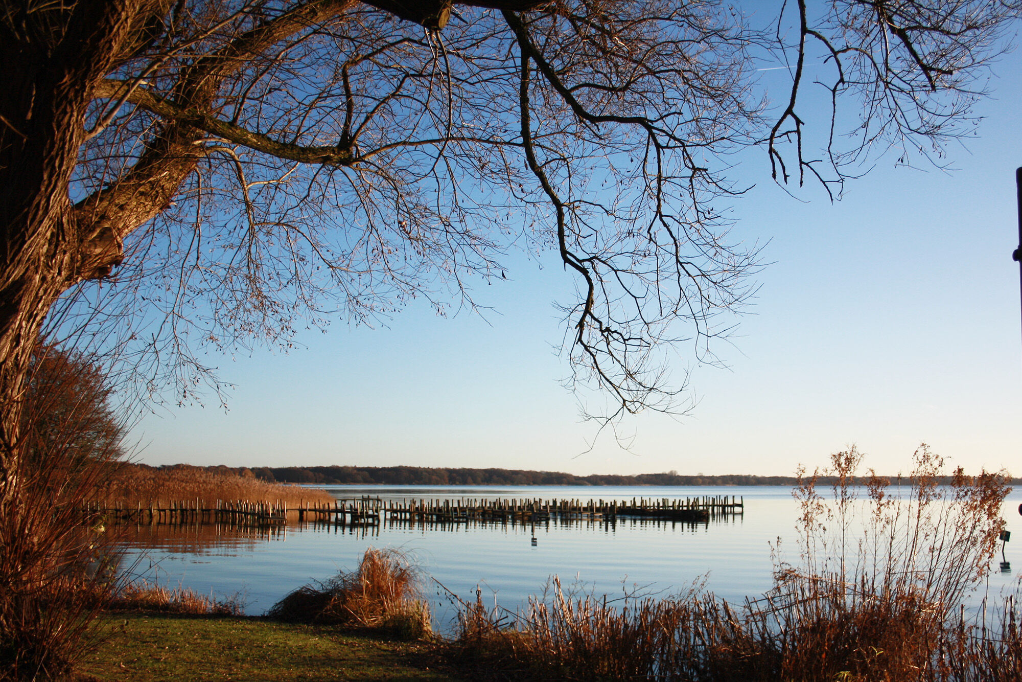
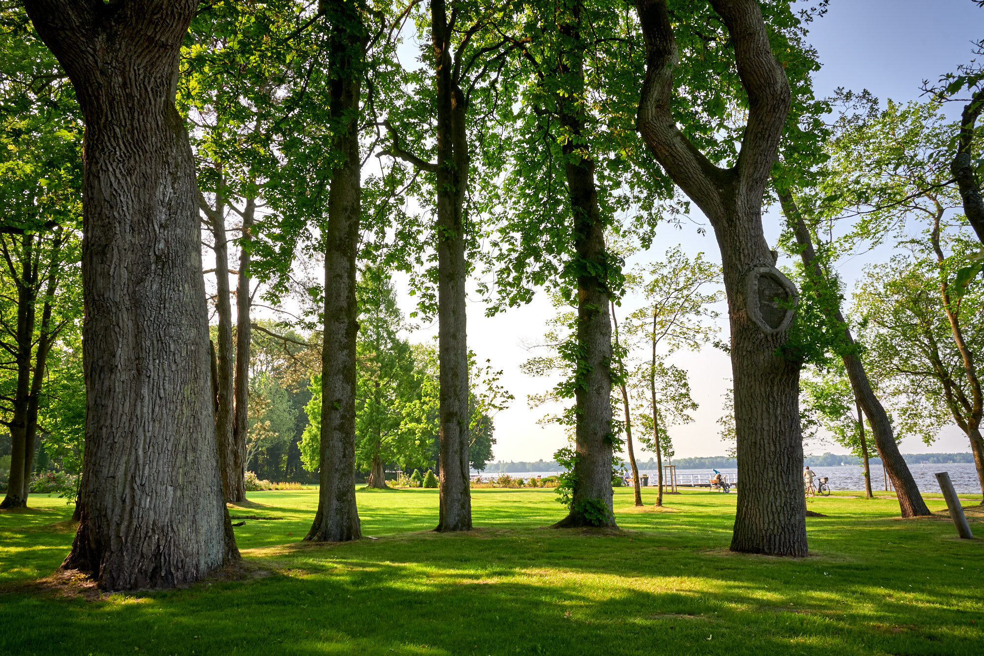
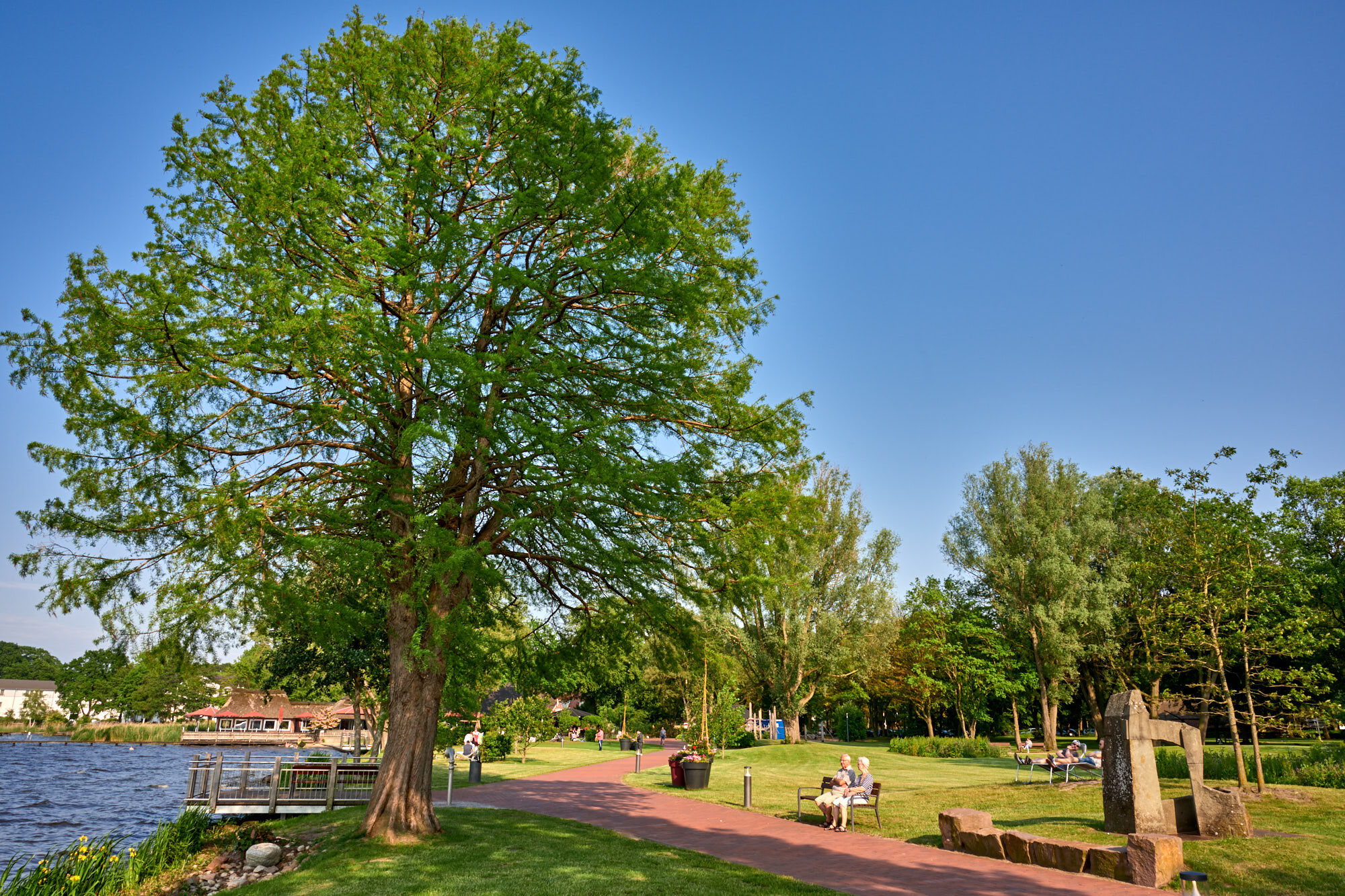
The Seerundweg around the Zwischenahner Meer is one of the most attractive hiking trails in northern Germany. The mostly gravel circuit is 12 kilometers long. Many sections of the route have a clear view of the Zwischenahner Meer, the third largest inland body of water in Lower Saxony. Numerous restaurants right on the way invite you to linger. The traditional restaurants "Spieker" and "Fährkroog" are particularly well known.
- Sværhedsgrad
-
medium
- Evaluering
-
- Rute
-
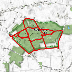
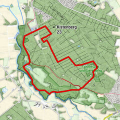
Bad Zwischenahn (7 m)0,1 kmHösjekamp4,4 kmMicha‘s eastside5,4 kmDas 53° Hotel - Kolbs Meerblick-Hotel5,4 kmDreibergen5,5 kmFährkroog5,8 kmBurghügel 25,8 kmBurghügel 15,9 kmBurghügel 35,9 kmMeyerhausen6,4 kmApicius9,4 kmEiden9,4 kmSt. Marien-Kirche11,8 kmBad Zwischenahn (7 m)11,8 km
- Bedste sæson
-
janfebmaraprmajjunjulaugsepoktnovdec
- Højeste punkt
- 9 m
- Destination
-
Bad Zwischenahn/Dreibergen
- Højdeprofil
-
 © outdooractive.com
-

-
ForfatterRundvisningen Zwischenahner Meerweg bruges af outdooractive.com forudsat.
GPS Downloads


Generel information
Forfriskningsstop
Kulturel/Historisk
Lovende
Flere ture i regionerne
-
Ostfriesland
98
-
Ammerland
51
-
Bad Zwischenahn
22