Picasa
Picasa
Turnédatoer
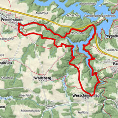
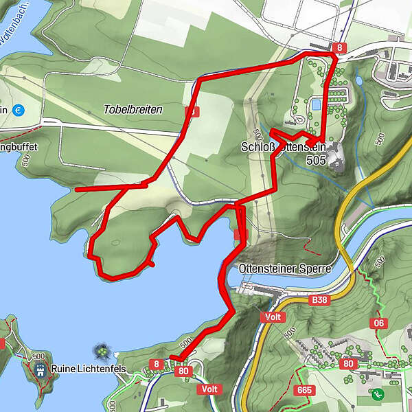
5,13km
468
- 521m
111hm
113hm
01:00h
- Kort beskrivelse
-
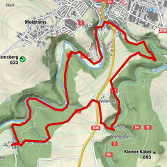
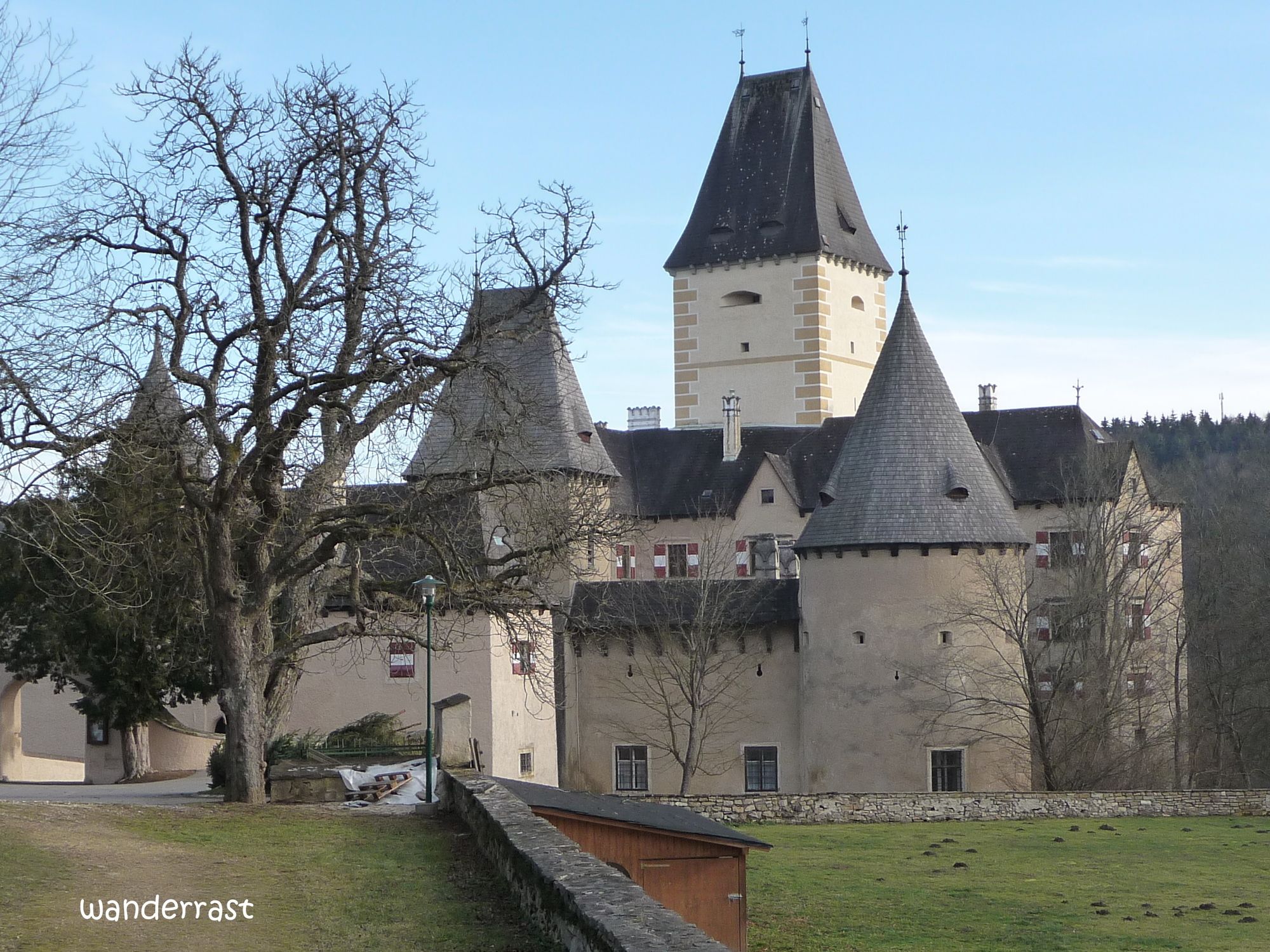
Stausee Ottenstein
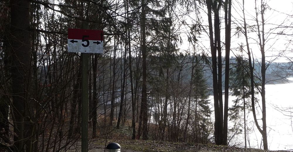
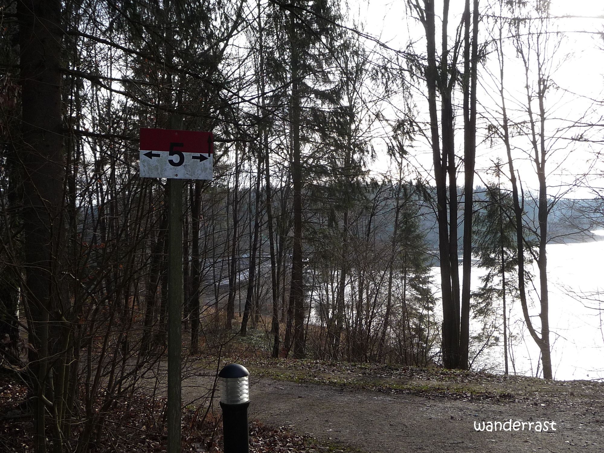
Weg Nr. 5 - Sværhedsgrad
-
let
- Evaluering
-
- Rute
-
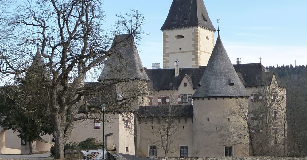
Schloss Restaurant1,2 kmOttenstein1,3 km
- Bedste sæson
-
janfebmaraprmajjunjulaugsepoktnovdec
- Højeste punkt
- 521 m
- Hvil/Tilbagetrækning
-
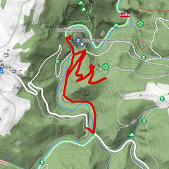
Bootshaus - Restaurant
- De der
- wanderrast
GPS Downloads


Stiens tilstand
Asfalt
Grus
Eng
Skov
Sten
Udsat
Flere ture i regionerne
-
Waldviertel
1776
-
Waldviertel Mitte
1247
-
Rastenfeld
161