
© Wiener Alpen in Niederösterreich - Sophie Weinberger

© ÖAV-Hüttenfinder - Sektion Reichenau

© Wiener Alpen in Niederösterreich - Sophie Weinberger

© Wiener Alpen in Niederösterreich - Sophie Weinberger

- Kort beskrivelse
-
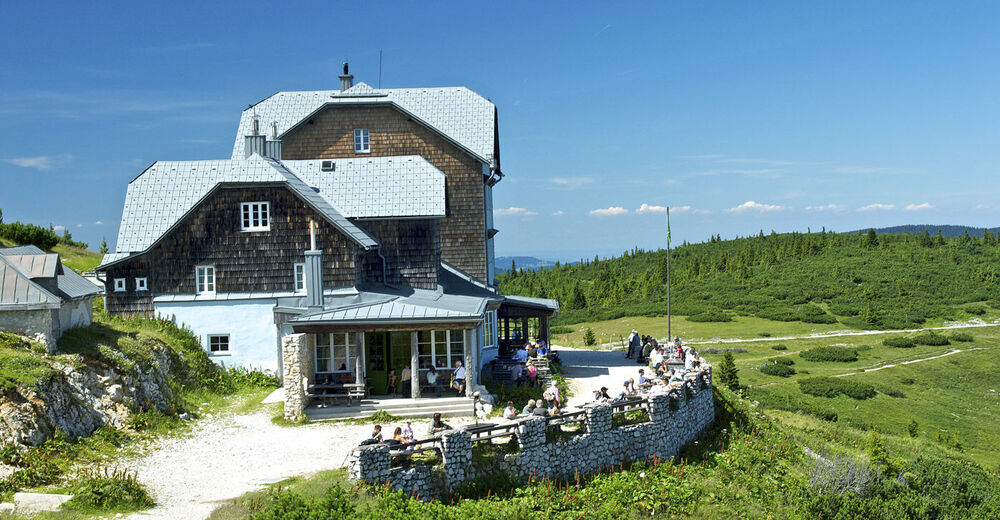
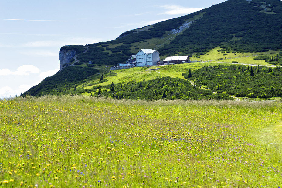
The footpath from the Knappenhof via the Törlweg is the perfect mountain trail that leads up to the Ottohaus on the Raxalpe.
- Sværhedsgrad
-
tung
- Evaluering
-
- Rute
-
Henriettenkapelle0,1 kmHirschwang an der Rax0,4 kmKnappenberg2,2 kmLammelbrünnl4,0 kmTörlkopf (1.607 m)5,9 kmStaiger-Fenster5,9 kmTörl6,0 kmSchwaigboden6,1 kmOttohaus6,4 km
- Bedste sæson
-
janfebmaraprmajjunjulaugsepoktnovdec
- Højeste punkt
- 1.639 m
- Destination
-
Ottohaus auf der Rax inn
- Højdeprofil
-


- Forfatter
-
Rundvisningen Hiking to the Ottohaus ( from the Knappenhof) bruges af outdooractive.com forudsat.
GPS Downloads


Generel information
Forfriskningsstop
Lovende
Flere ture i regionerne
-
Hochsteiermark
4066
-
Waldheimat
2182
-
Reichenau / Rax - Raxalpe
930


