

© Radler-Rast - Mag. Brigitte Pamperl

© Radler-Rast - Mag. Brigitte Pamperl

© Radler-Rast - Mag. Brigitte Pamperl

© Radler-Rast - Mag. Brigitte Pamperl

© Radler-Rast - Mag. Brigitte Pamperl

© Radler-Rast - Mag. Brigitte Pamperl

© Radler-Rast - Mag. Brigitte Pamperl

© Radler-Rast - Mag. Brigitte Pamperl

© Radler-Rast - Mag. Brigitte Pamperl

© Radler-Rast - Mag. Brigitte Pamperl

- Kort beskrivelse
-
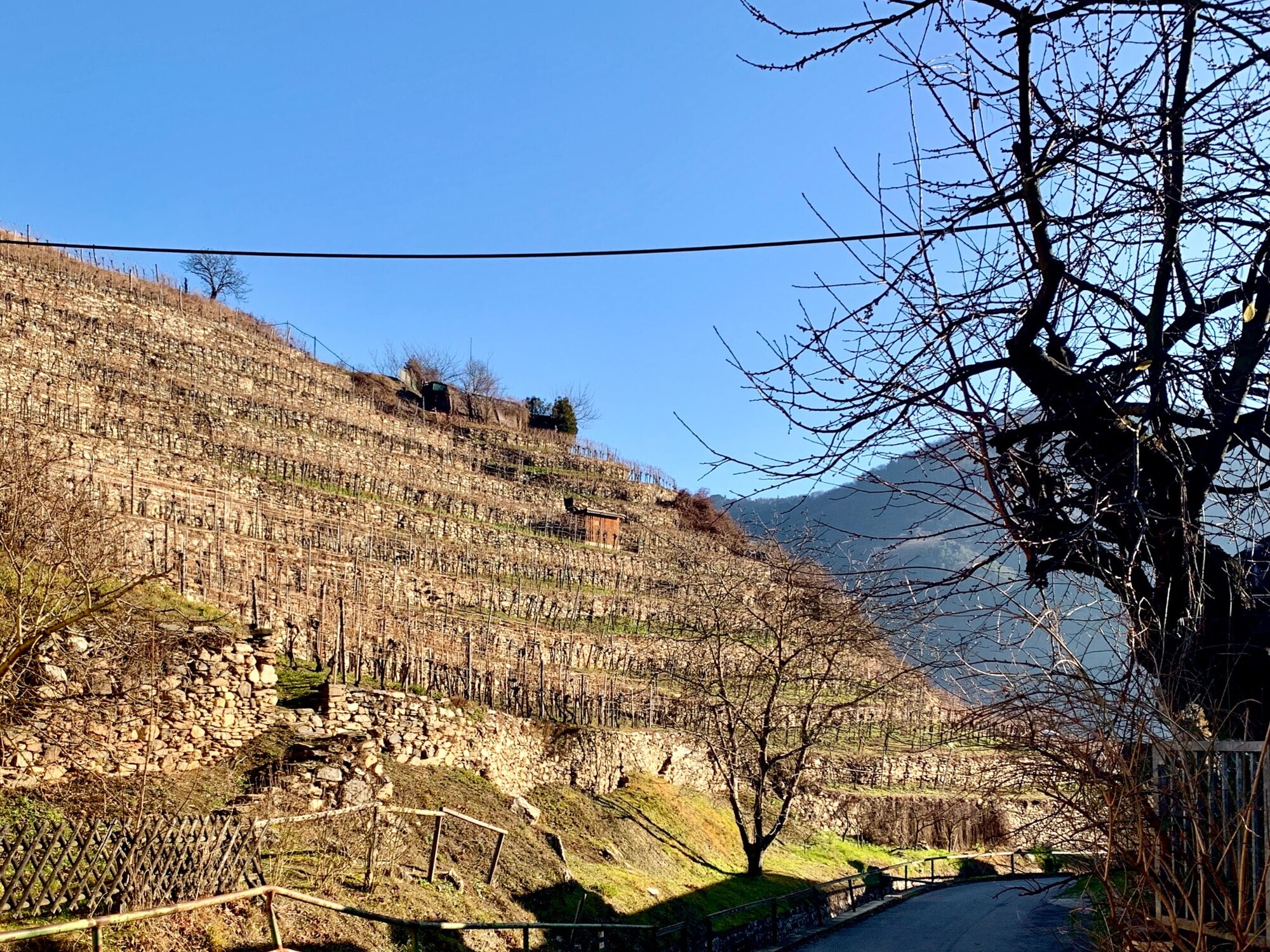
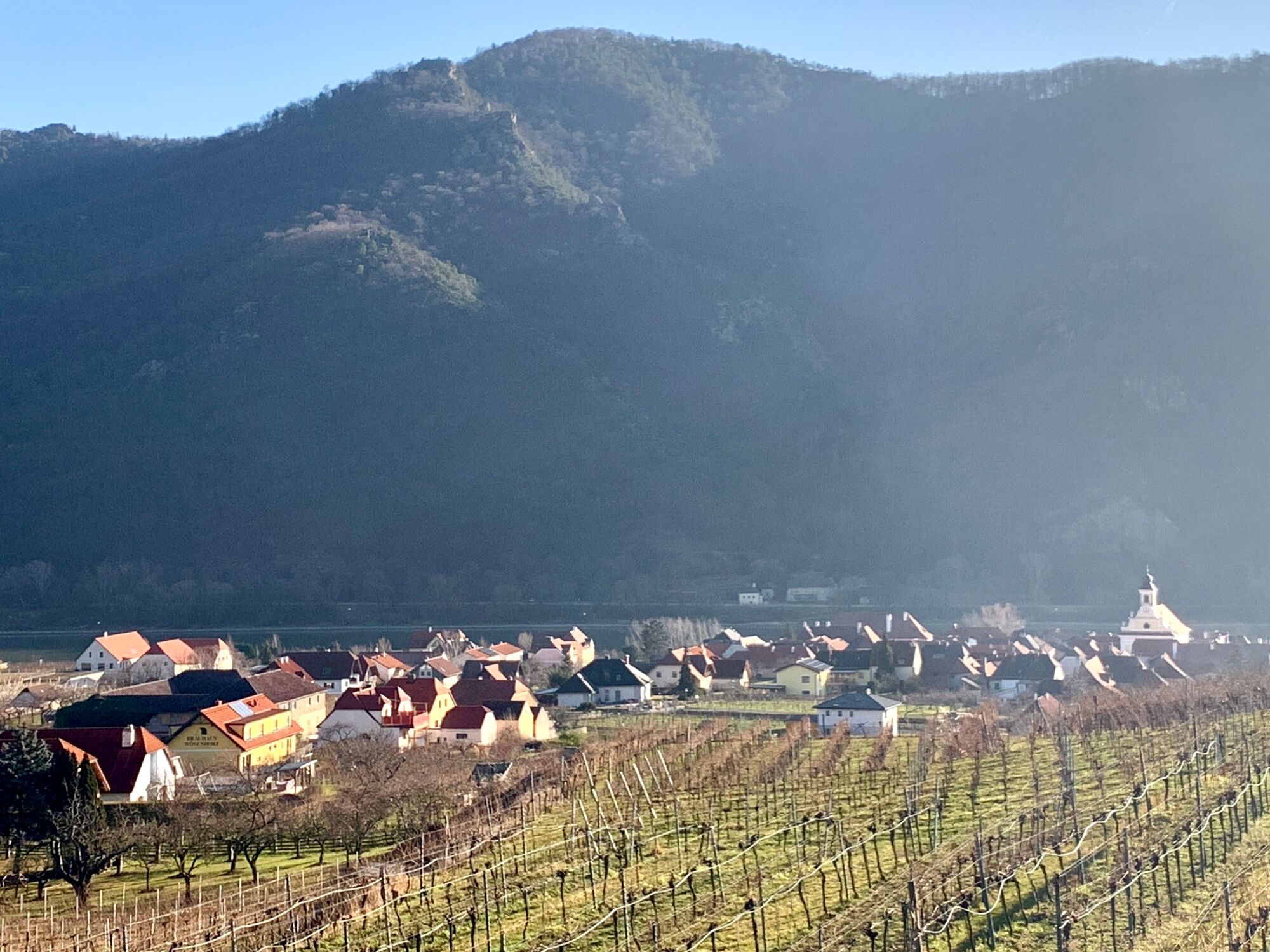
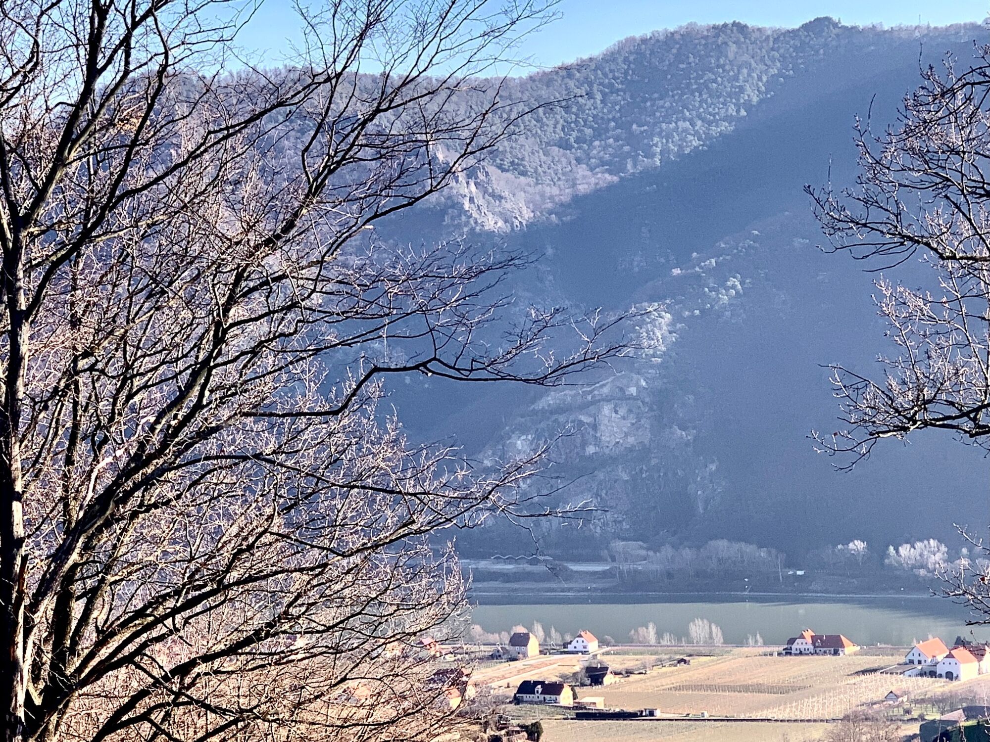
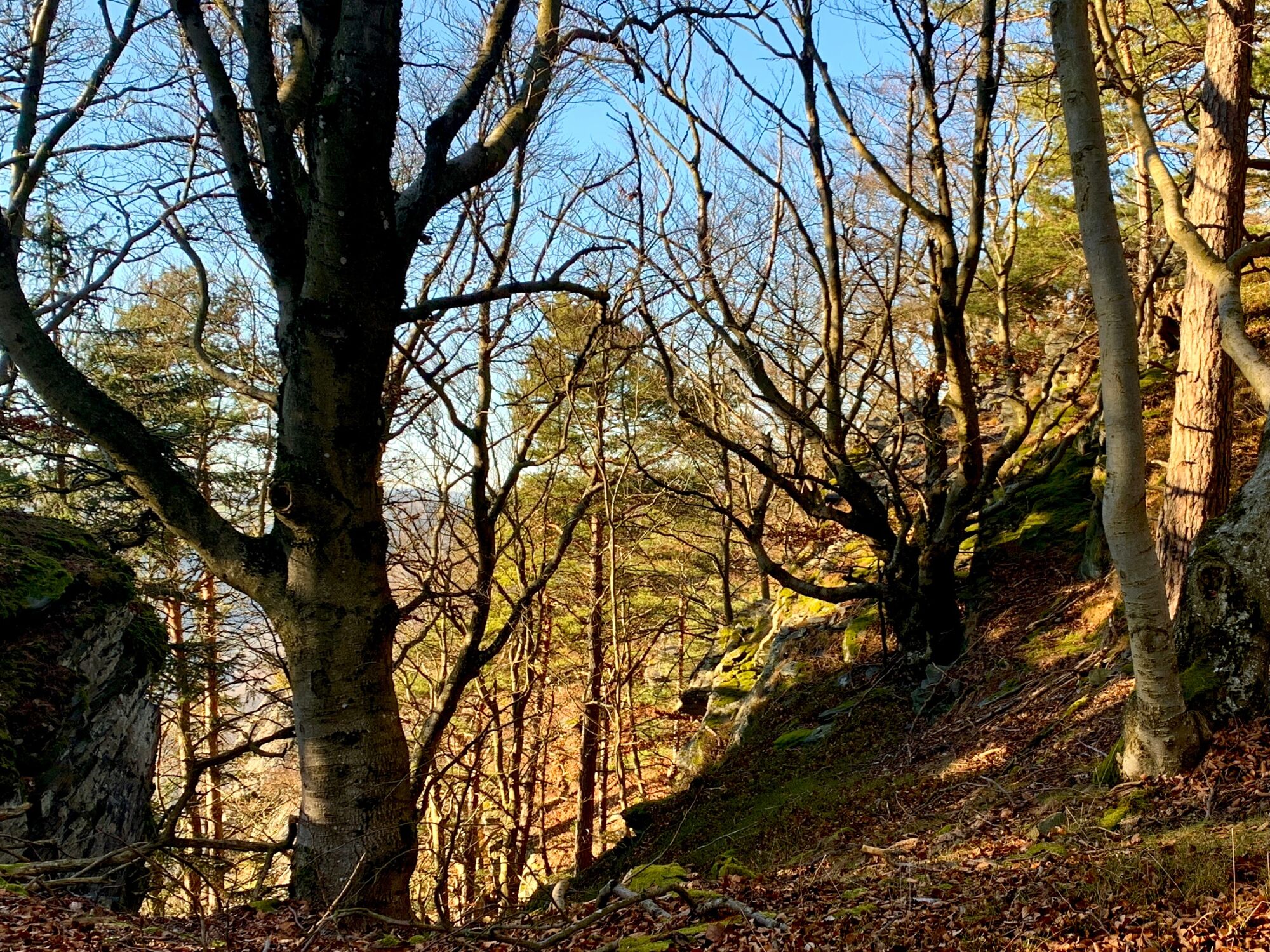
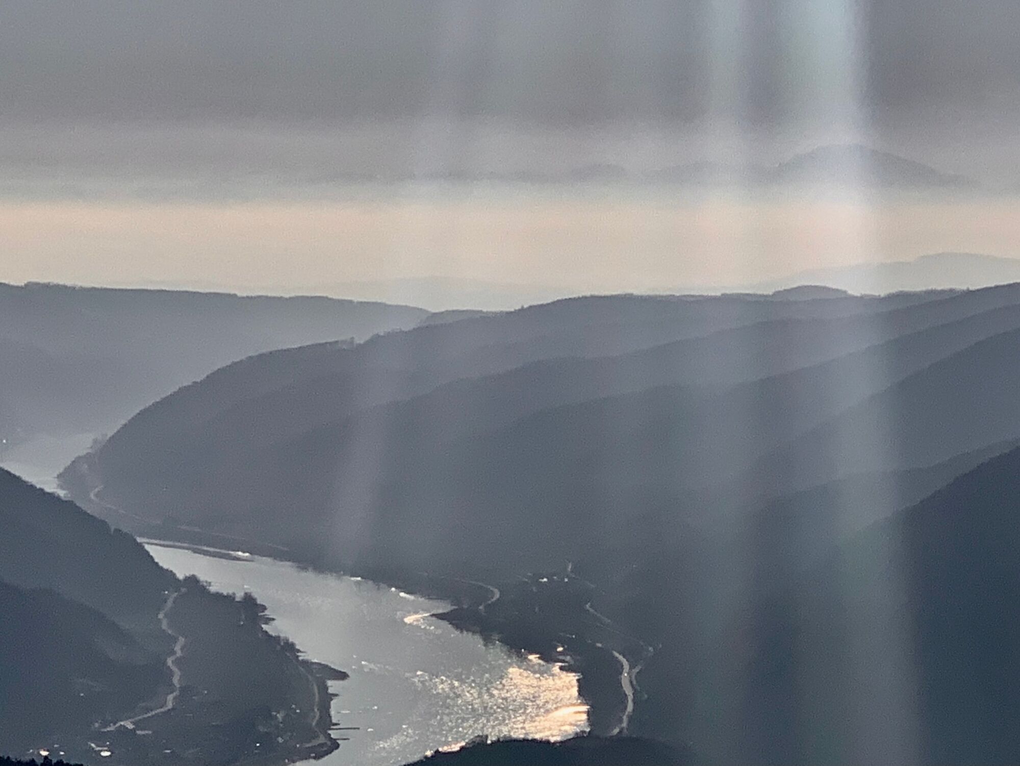
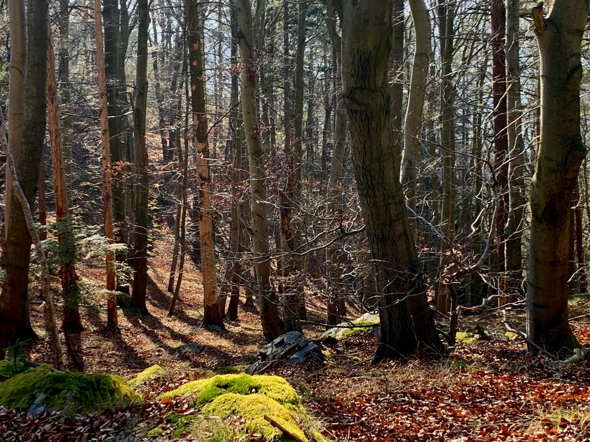
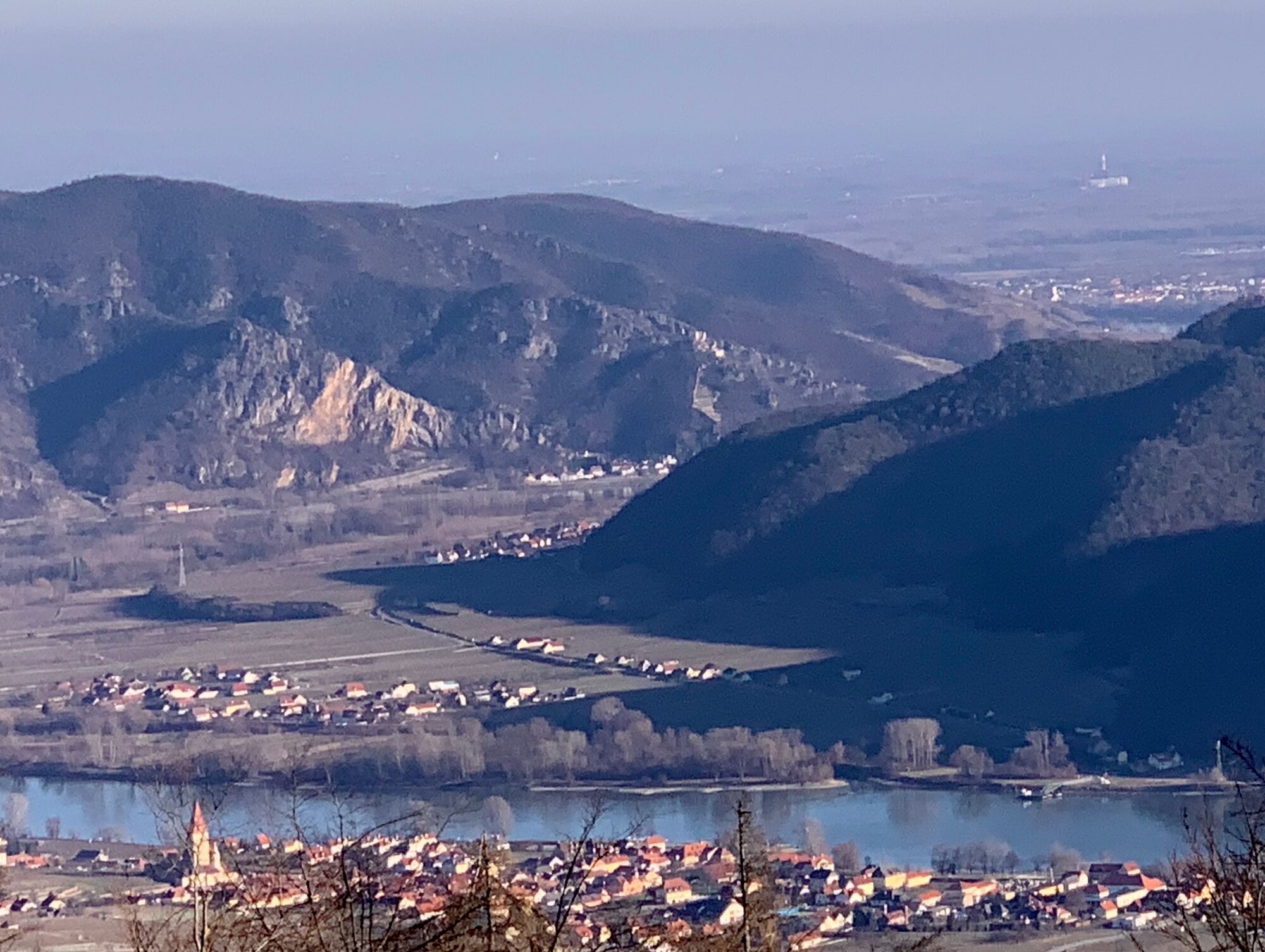
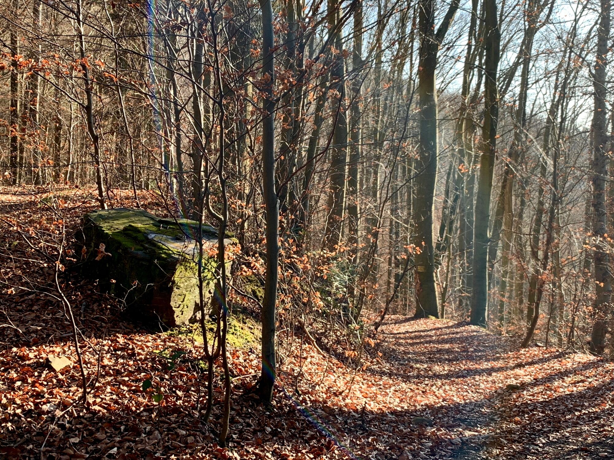
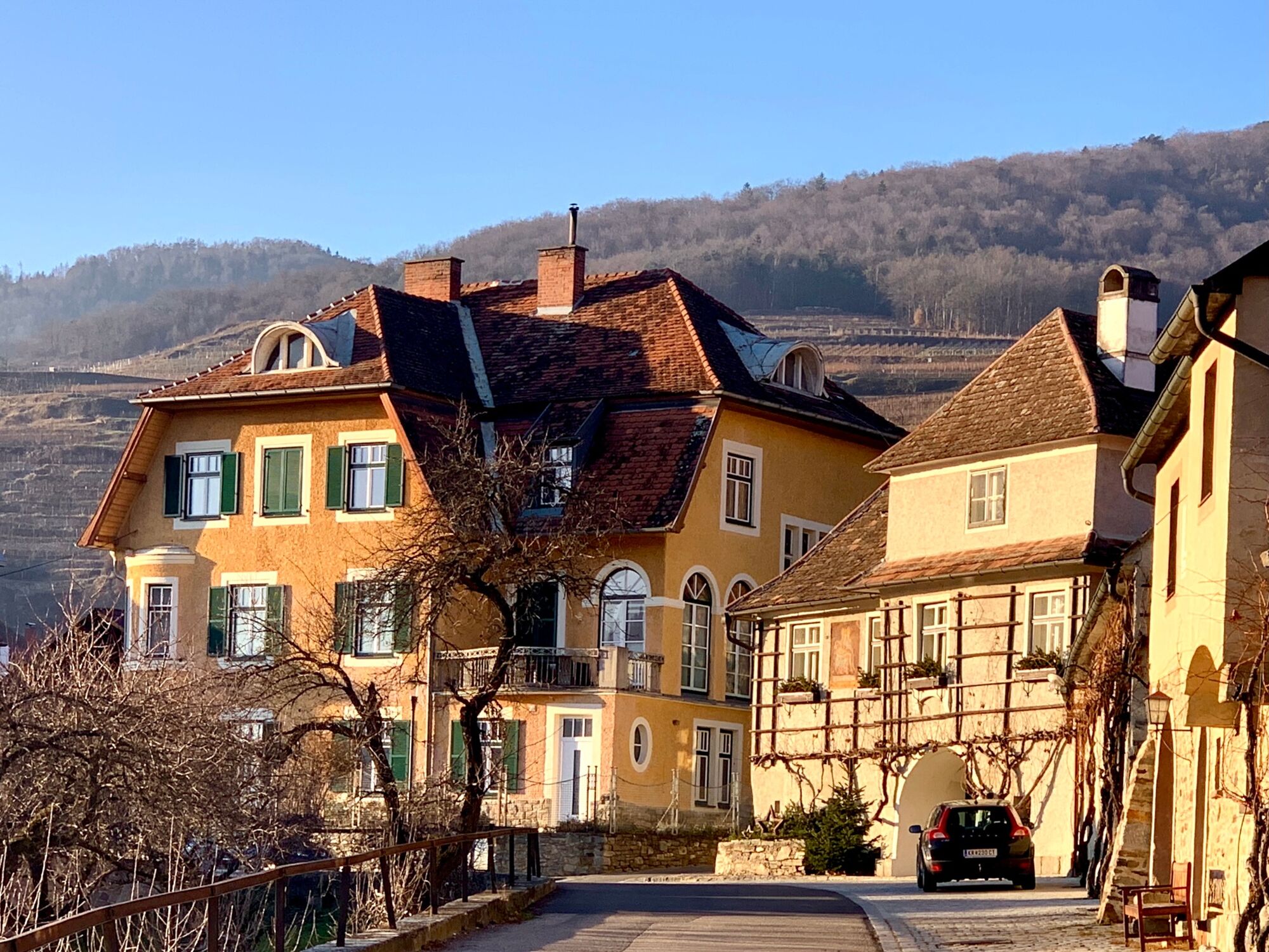
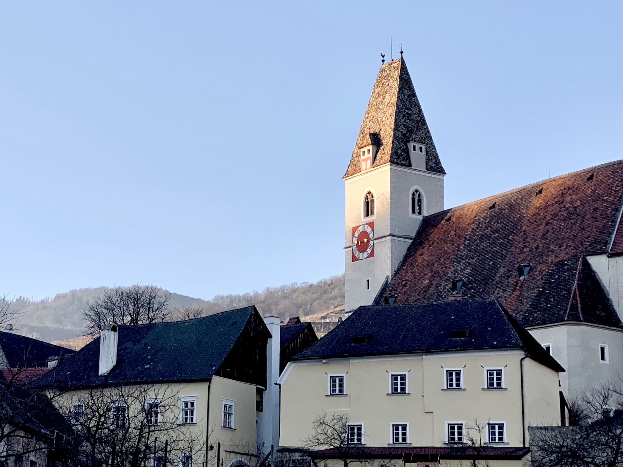
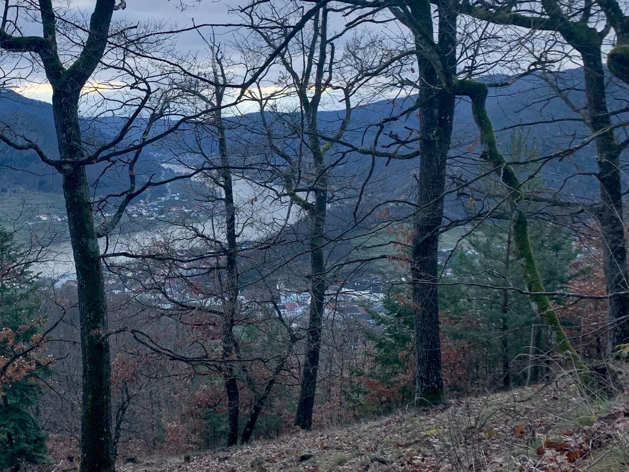
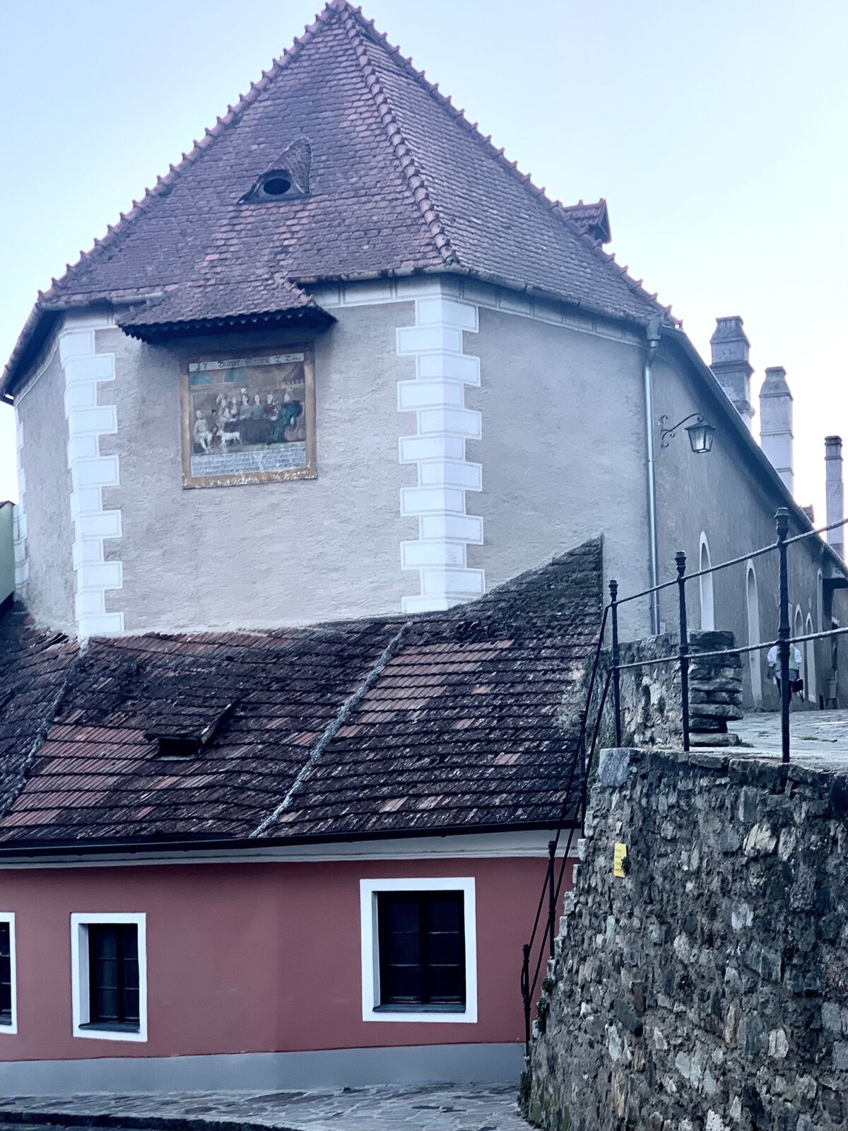
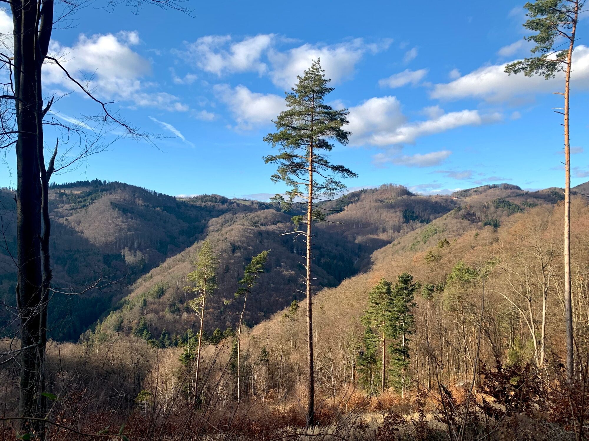
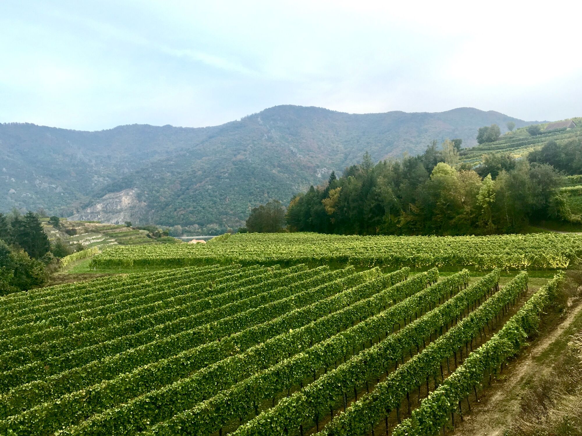
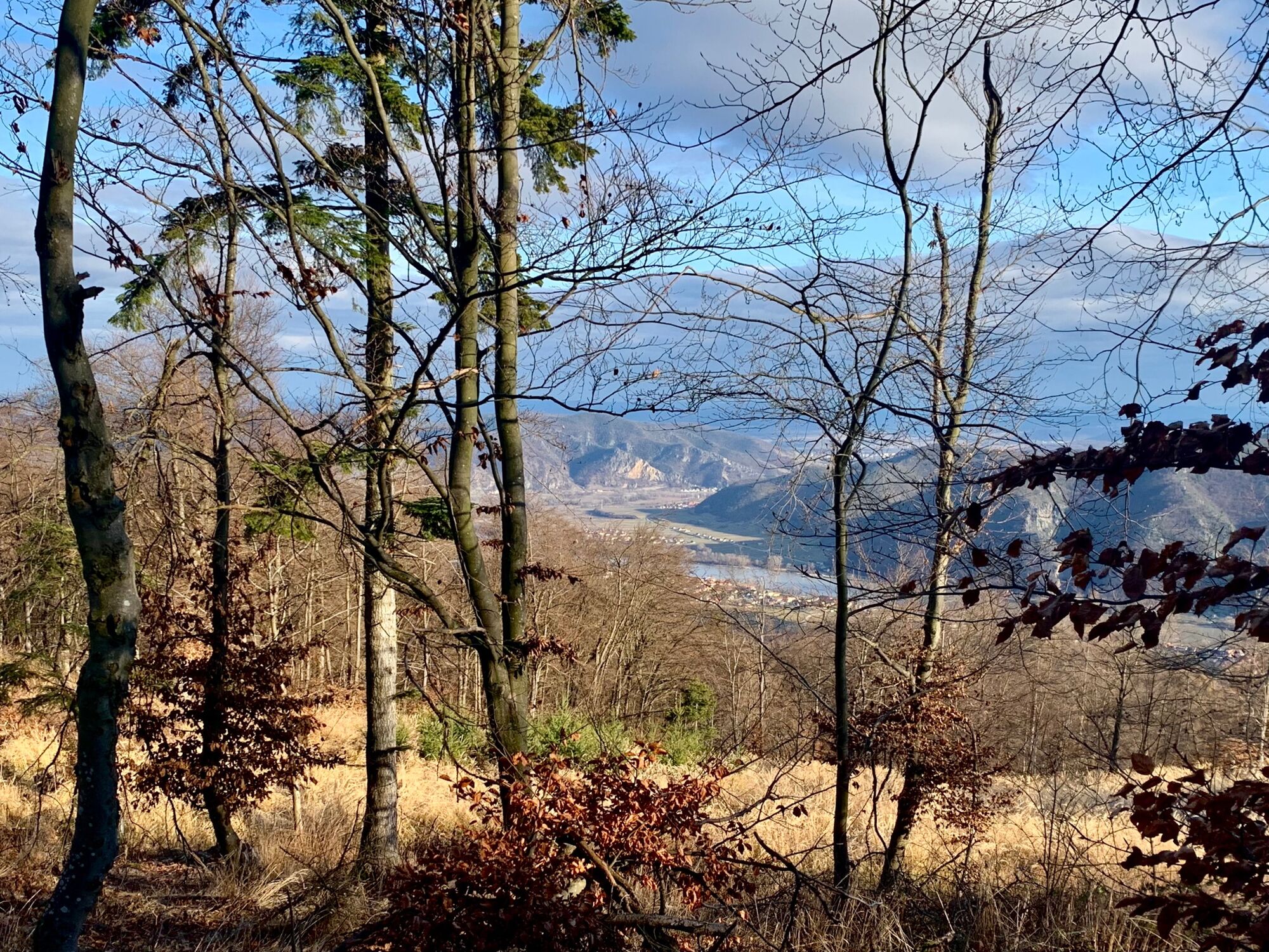
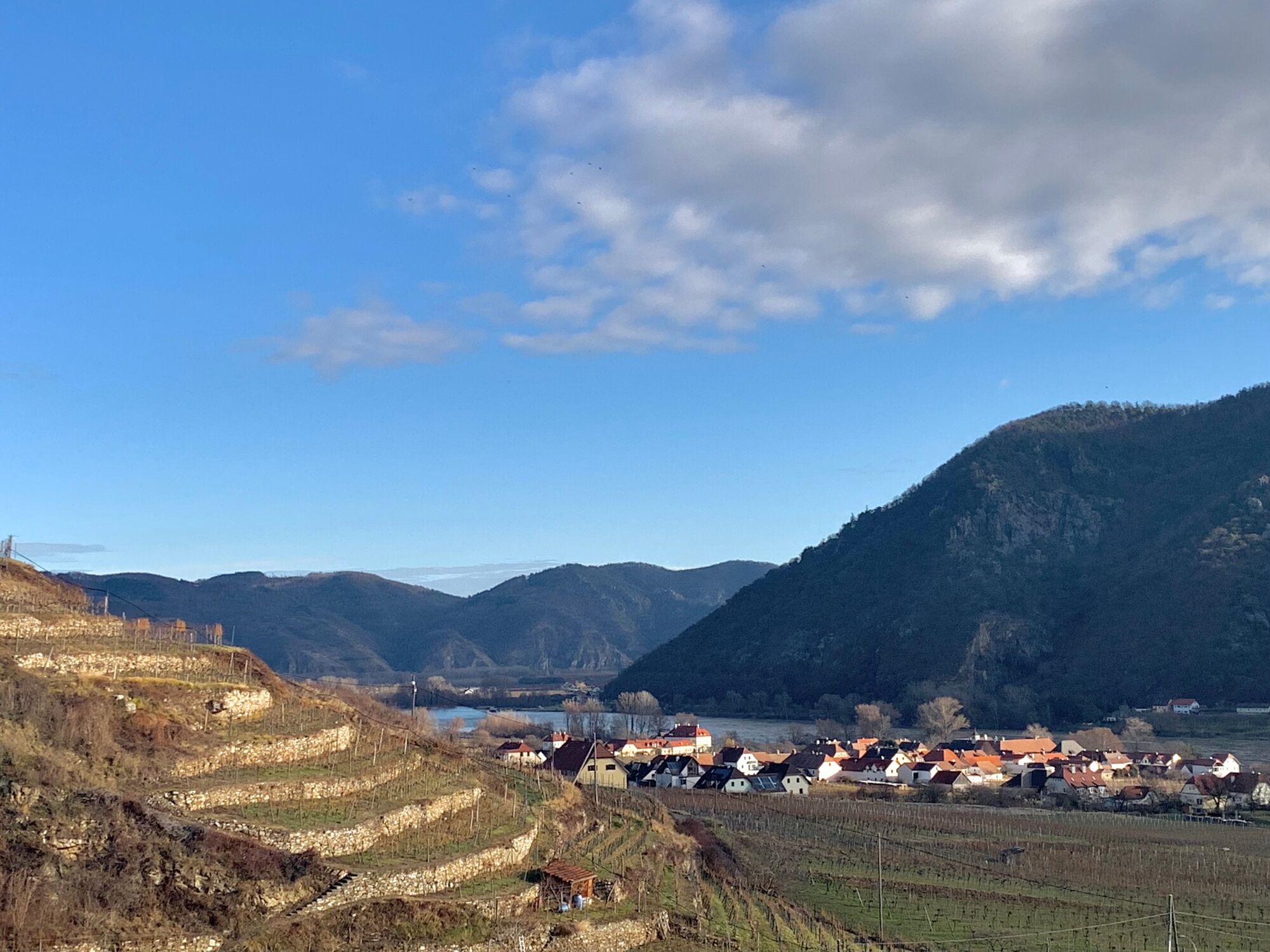
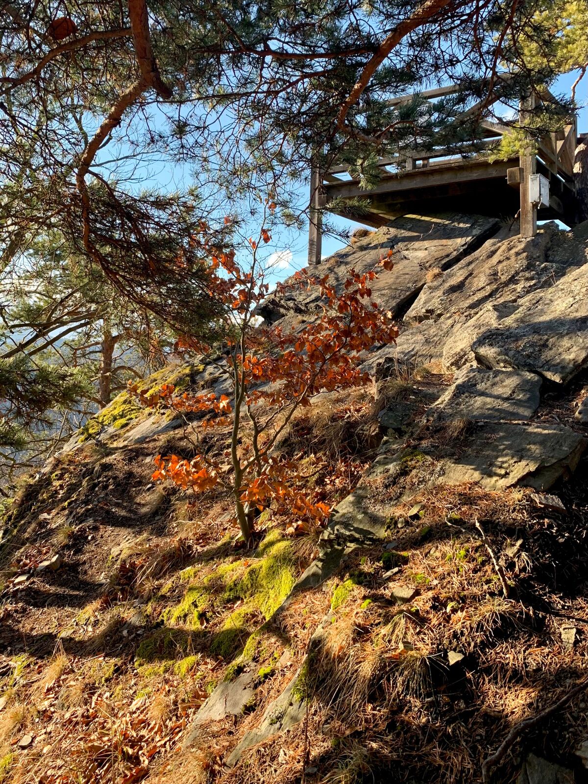
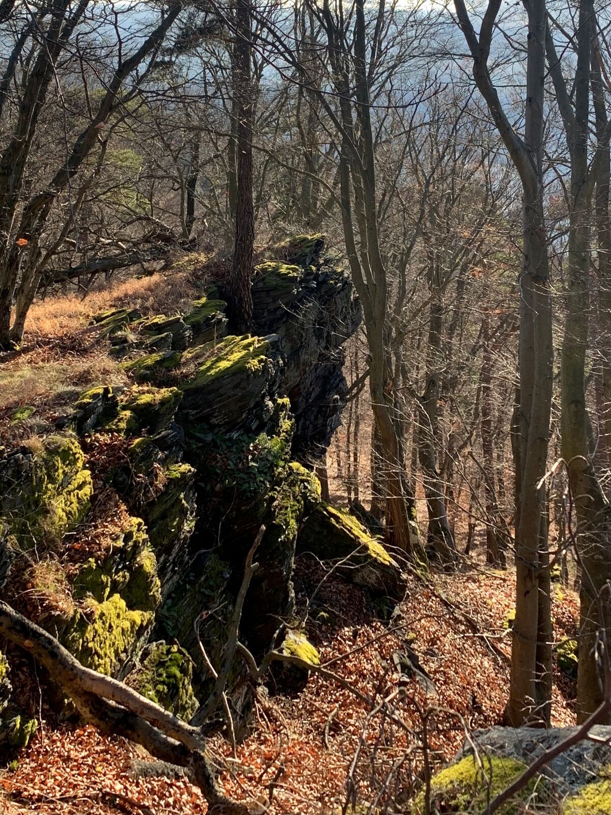
From Spitz an der Donau by bus to Wösendorf. Continue on foot on the access path to the World Heritage Trail in the direction of Buschandlwand. Magnificent view from the Gruberwarte. Descent to Spitz.
- Sværhedsgrad
-
medium
- Evaluering
-
- Rute
-
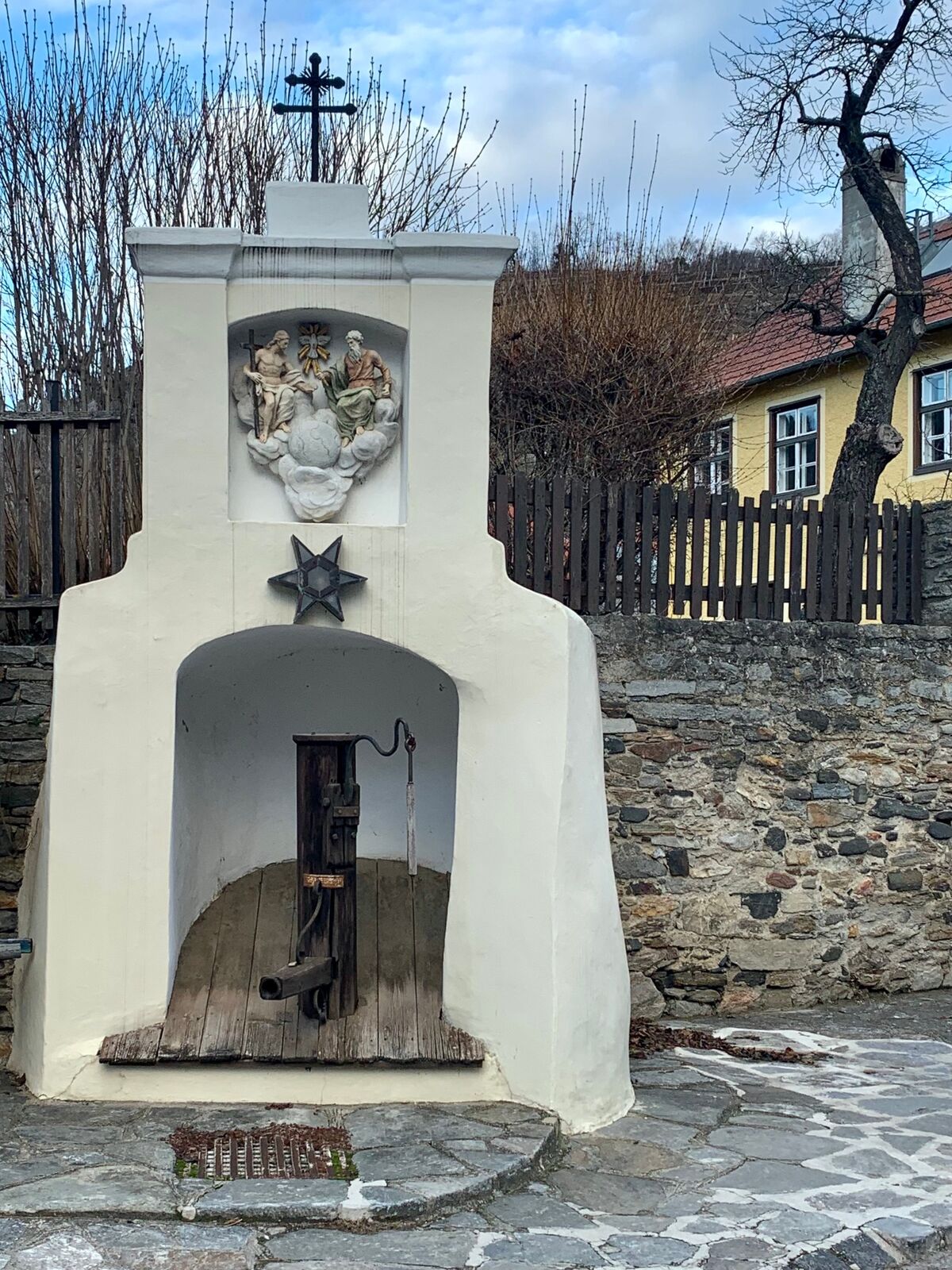
SpitzSpitz a.d. Donau0,1 kmMarterlhöhle0,9 kmMitterarnsdorf1,4 kmSankt Michael1,8 kmWehrkirche St. Michael1,8 kmBacharnsdorf2,1 kmWösendorf in der Wachau3,8 kmBuschandlwand (741 m)8,7 kmSpitz14,8 km
- Bedste sæson
-
janfebmaraprmajjunjulaugsepoktnovdec
- Højeste punkt
- 727 m
- Destination
-
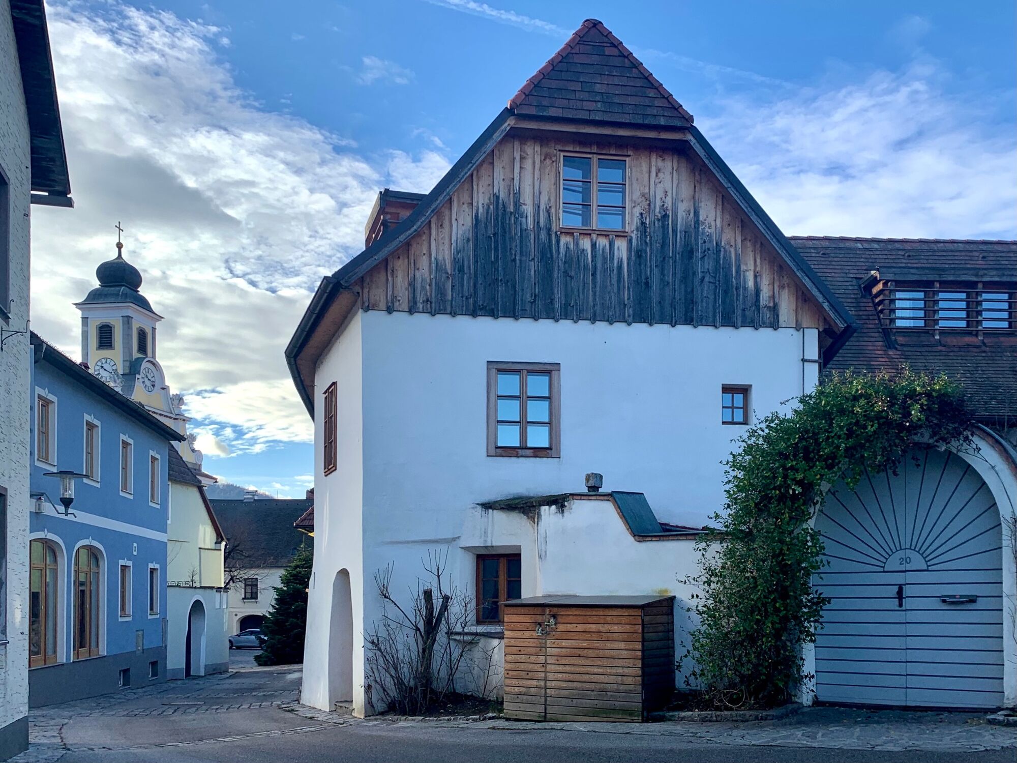
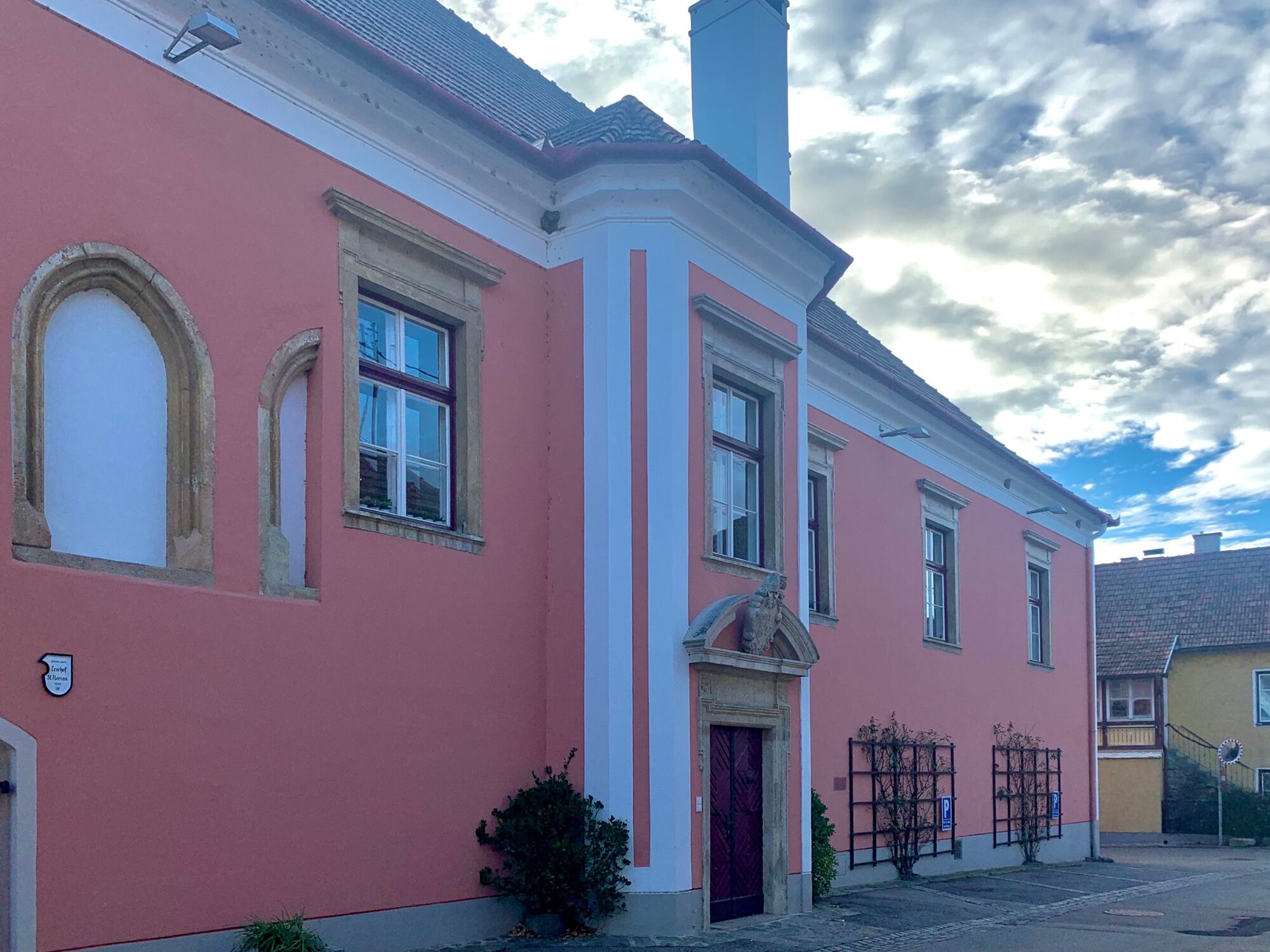
Spitz on the Danube
- Højdeprofil
-


-
-
ForfatterRundvisningen Buschandlwand - from Wösendorf in the Wachau to Spitz on the Danube bruges af outdooractive.com forudsat.
GPS Downloads


Generel information
Lovende
Flere ture i regionerne
-
Donau Niederösterreich
2288
-
Dunkelsteinerwald
1372
-
Spitz an der Donau
605


