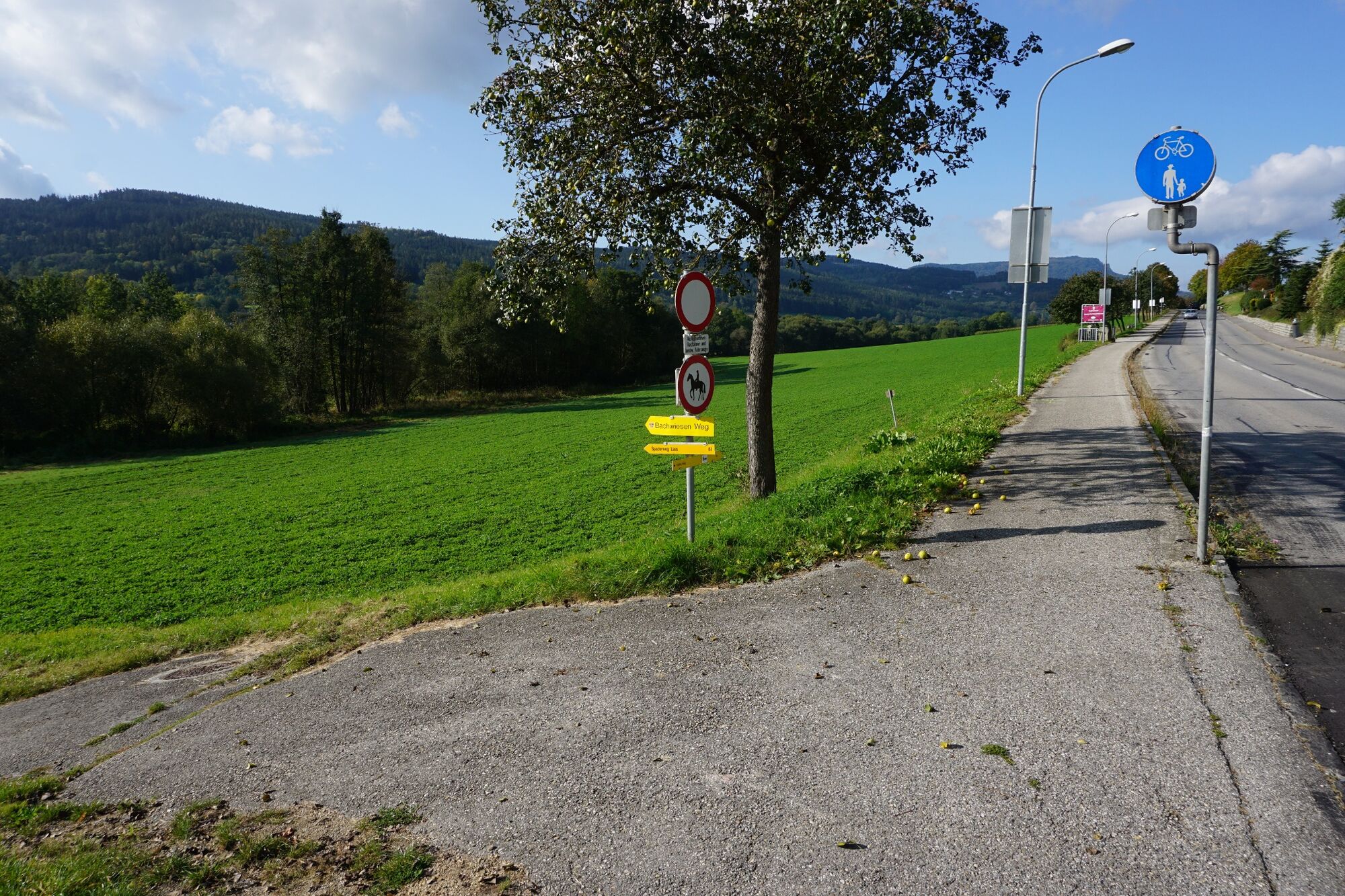
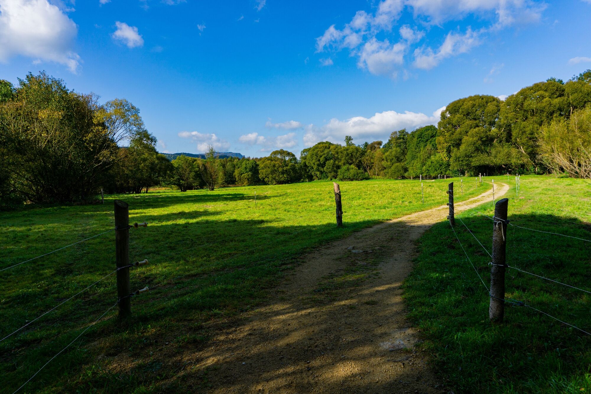
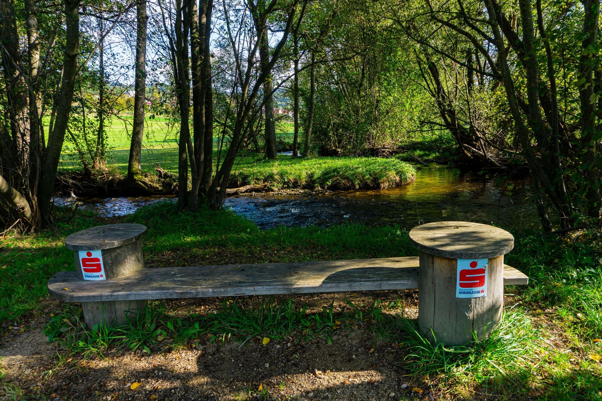
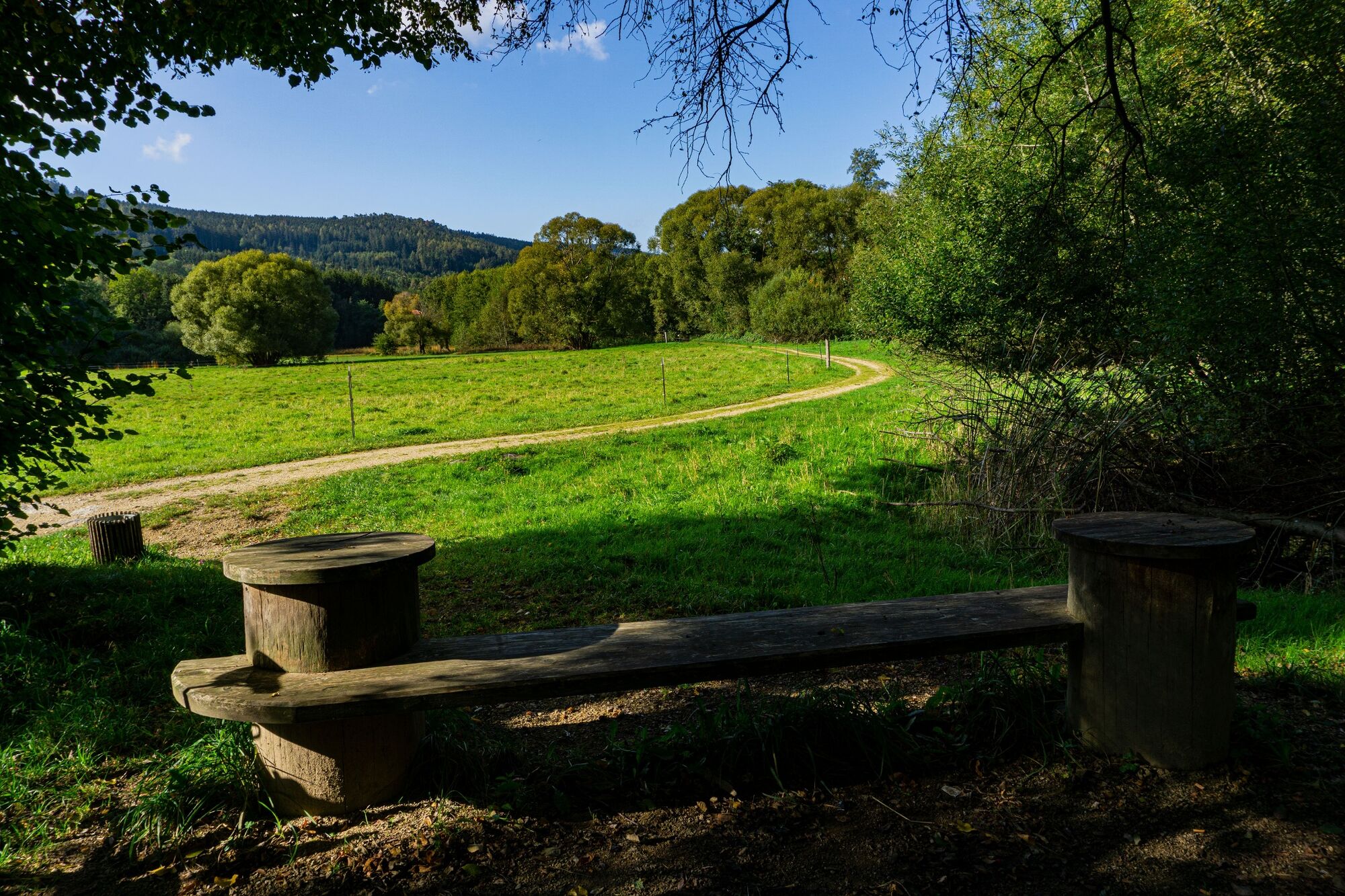
© Unbekannt - Gottfried Grossinger

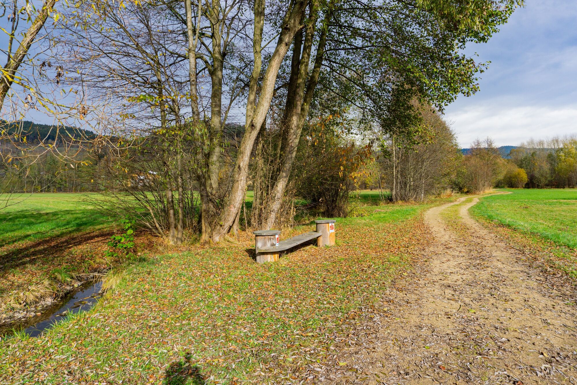
© Unbekannt - Gottfried Grossinger

© Unbekannt - Gottfried Grossinger

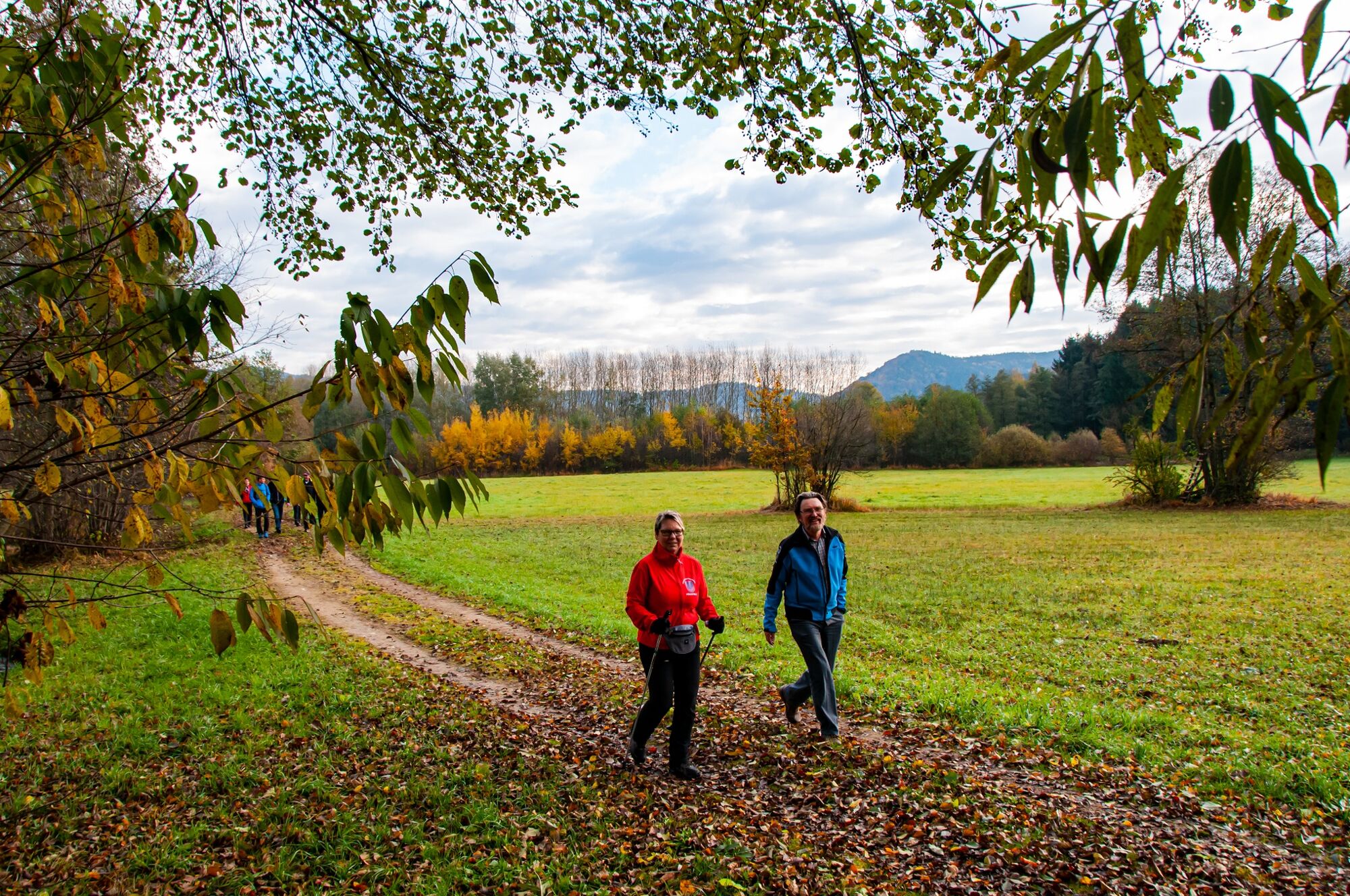
© Unbekannt - Micha Hamersky

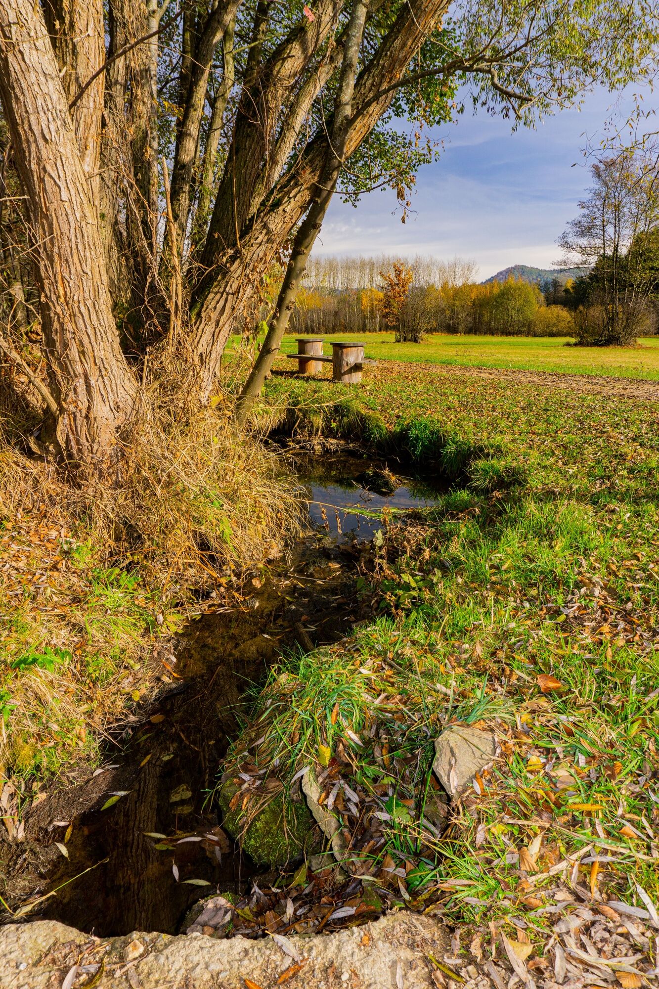
© Unbekannt - Gottfried Grossinger

© Unbekannt - Gottfried Grossinger

© Unbekannt - Gottfried Grossinger

© Unbekannt - Gottfried Grossinger

© Unbekannt - Gottfried Grossinger

© Unbekannt - Gottfried Grossinger


- Kort beskrivelse
-
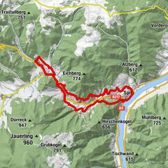
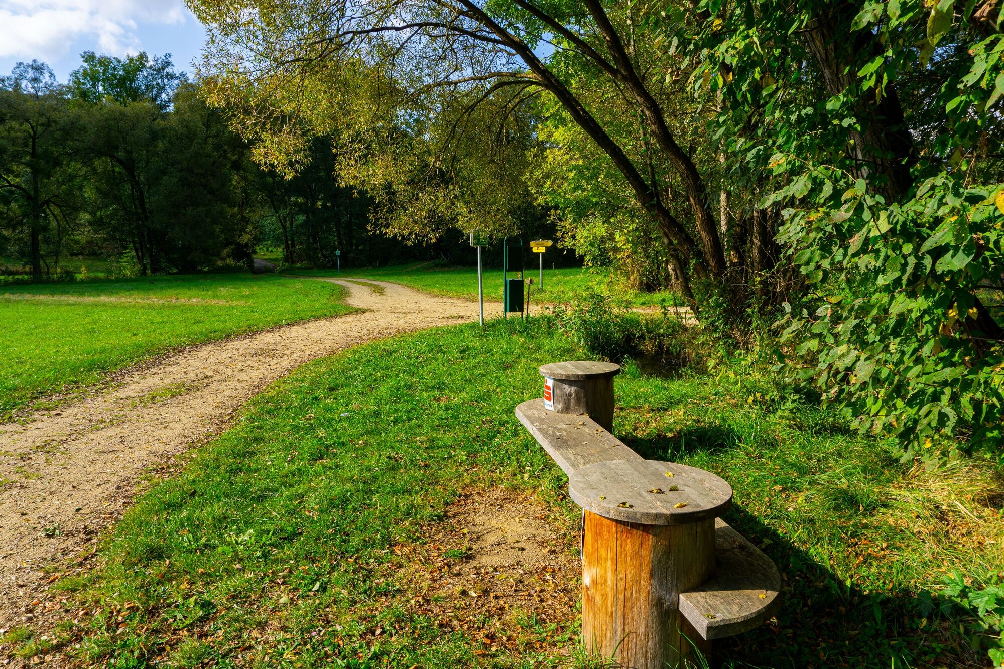
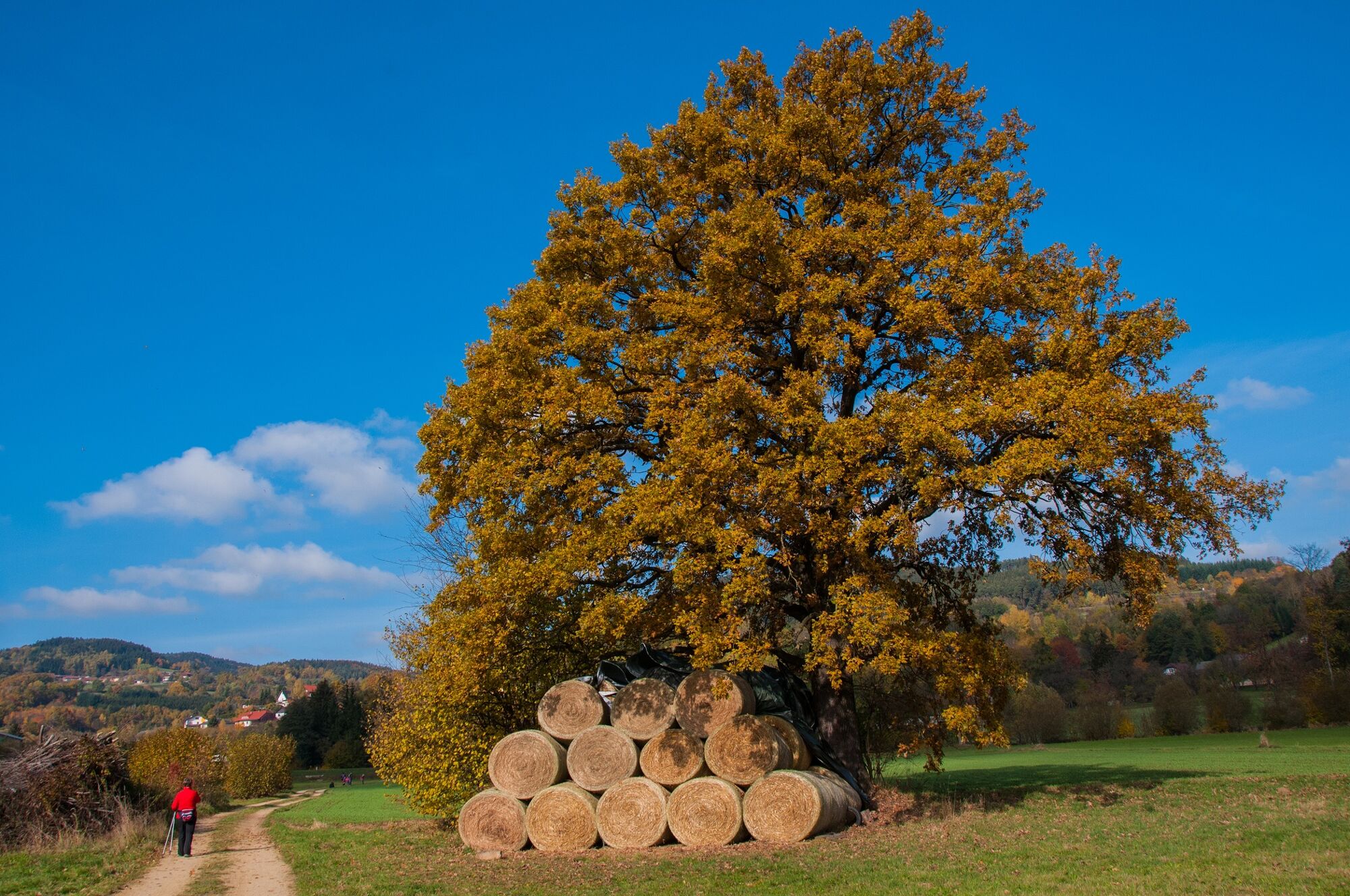
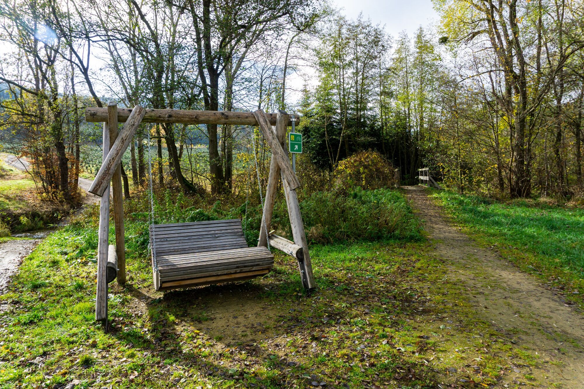
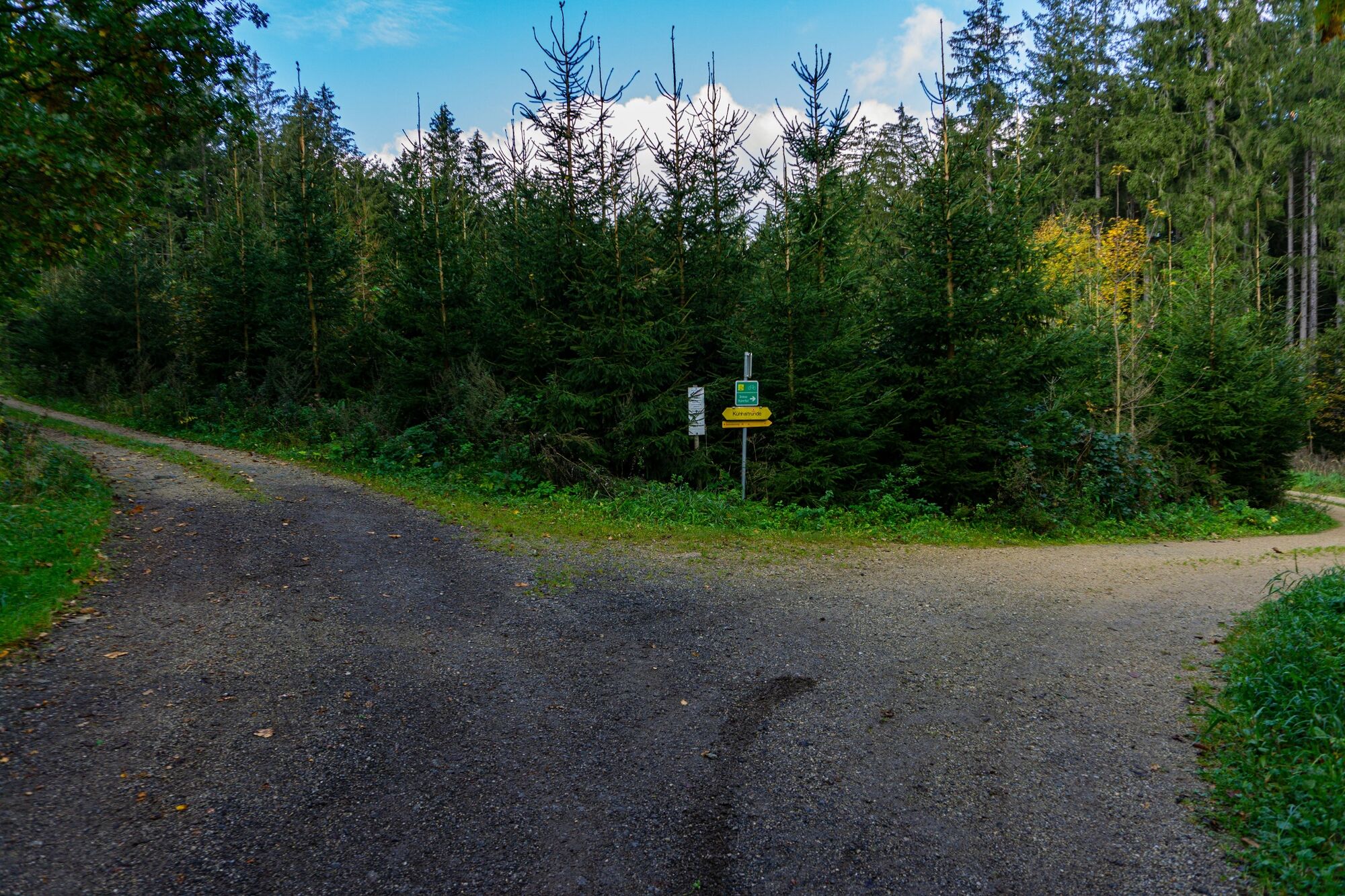
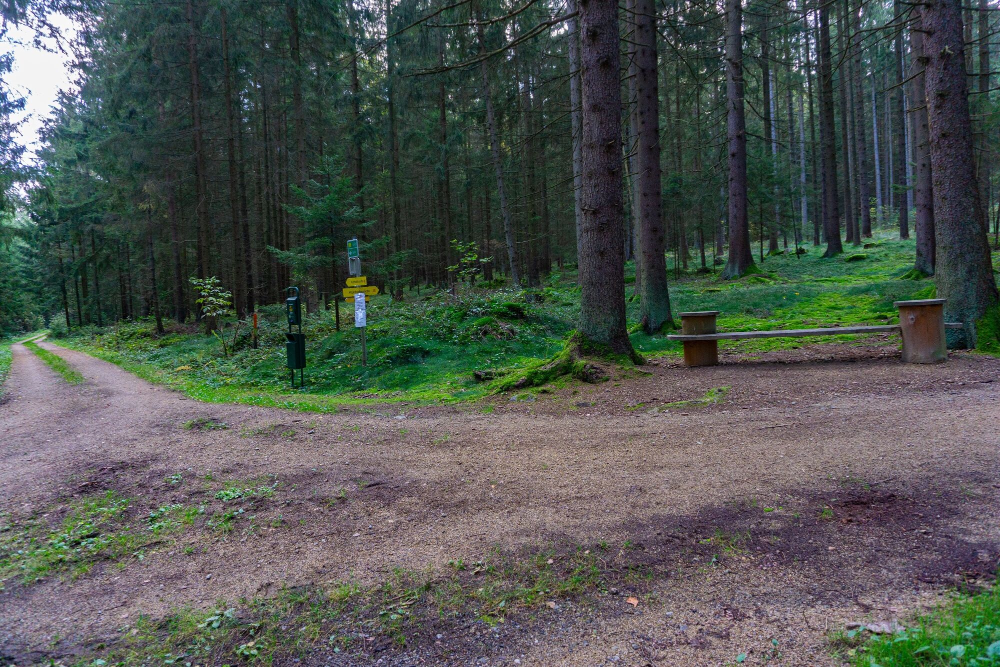
Weg Nr. 67
- Sværhedsgrad
-
let
- Evaluering
-
- Rute
-
PöggstallWürnsdorf2,1 kmWürnsdorf6,1 kmPöggstall8,3 km
- Bedste sæson
-
janfebmaraprmajjunjulaugsepoktnovdec
- Højeste punkt
- 530 m
- Destination
-
Pöggstall - Hauptplatz
- Højdeprofil
-


- Forfatter
-
Rundvisningen Bachwiesenweg bruges af outdooractive.com forudsat.
GPS Downloads


Generel information
Flora
Flere ture i regionerne
-
Donau Niederösterreich
2286
-
Südliches Waldviertel
935
-
Pöggstall
289