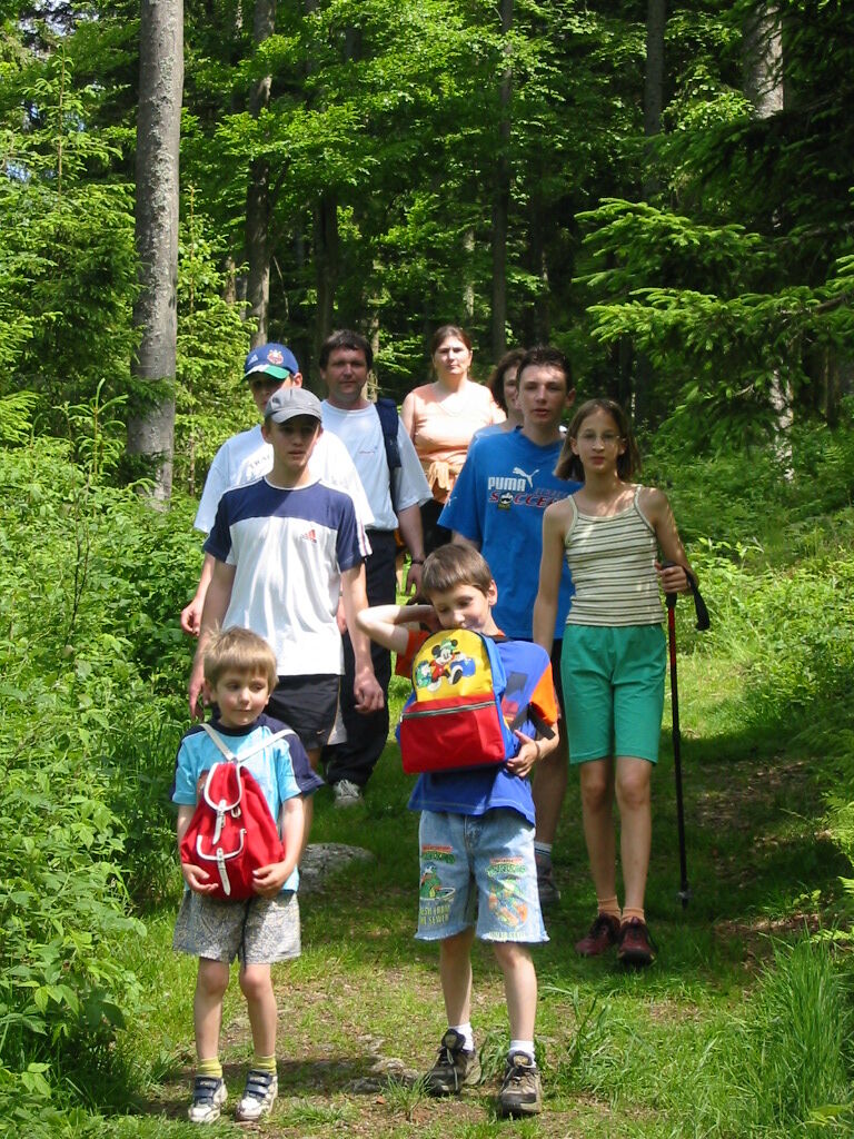
© Waldviertel Tourismus - Destination Waldviertel

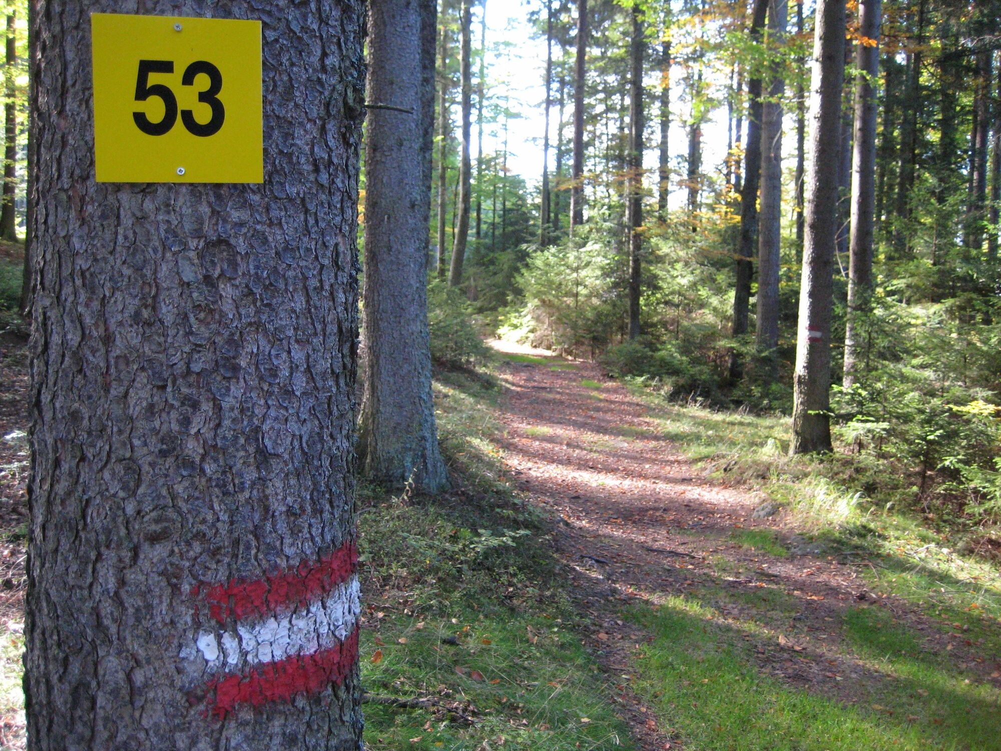
© Marktgemeinde Bad Traunstein
© Marktgemeinde Bad Traunstein

- Sværhedsgrad
-
medium
- Evaluering
-
- Rute
-
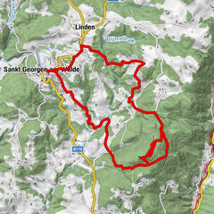
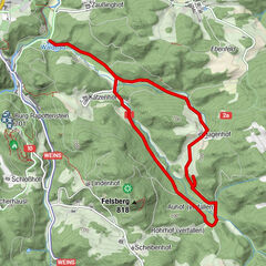
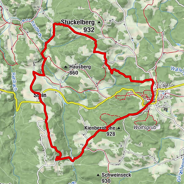
Bad Traunstein0,0 kmPrettles3,5 kmBuchegg4,4 kmStein5,6 kmLascheberlüß11,7 kmBad Traunstein13,0 km
- Bedste sæson
-
janfebmaraprmajjunjulaugsepoktnovdec
- Højeste punkt
- 917 m
- Destination
-
Parkplatz bei der Volksschule
- Højdeprofil
-


- Forfatter
-
Rundvisningen Panoramaweg Bad Traunstein Nr. 53 bruges af outdooractive.com forudsat.
GPS Downloads


Generel information
Forfriskningsstop
Helbredende klima
Flora
Lovende
Flere ture i regionerne
-
Waldviertel
1776
-
Südliches Waldviertel
936
-
Bad Traunstein
273