- Kort beskrivelse
-
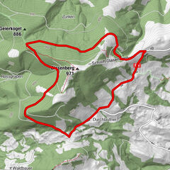
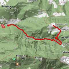
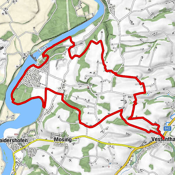
Der 20 km lange Weg führt zu einem Stausee nach Unterburg über Burg zurück nach Vestenthal.
- Sværhedsgrad
-
let
- Evaluering
-
- Rute
-
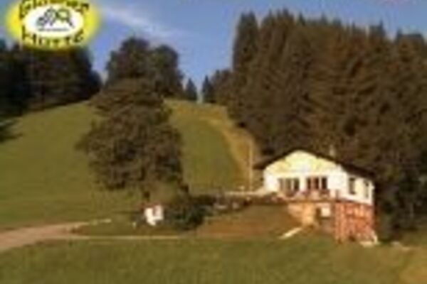
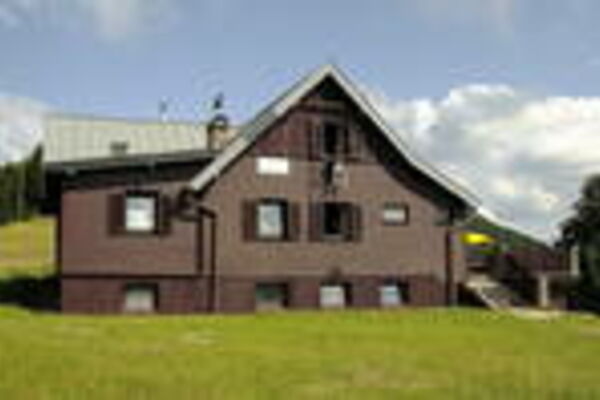
Gasthaus BramlVestenthalHainbuch8,8 kmGasthaus Xandl9,1 kmGasthaus Braml16,7 kmVestenthal16,9 km
- Bedste sæson
-
janfebmaraprmajjunjulaugsepoktnovdec
- Højeste punkt
- 371 m
- Højdeprofil
-

- Forfatter
-
Rundvisningen Vestenthalrunde bruges af outdooractive.com forudsat.
GPS Downloads


Generel information
Forfriskningsstop
Flere ture i regionerne
-
Traunviertel
1940
-
Moststraße
754
-
Haidershofen
143