- Kort beskrivelse
-
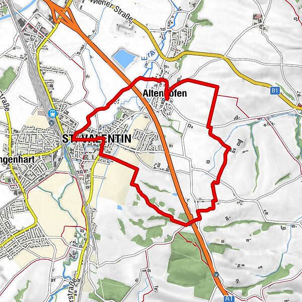
Die Länge des Rundweges beträgt 9,5 km. Er führt durch das ebene / leicht hüglige Gemeindegebiet von St. Valentin.
- Sværhedsgrad
-
let
- Evaluering
-
- Rute
-
Pfarrkirche St. ValentinSt. Valentin (268 m)0,1 kmHolzerhäuser2,8 kmAltenhofen5,9 kmWirt am Teich6,5 kmBachl Wirt9,1 kmSt. Valentin (268 m)9,3 kmPfarrkirche St. Valentin9,5 km
- Bedste sæson
-
janfebmaraprmajjunjulaugsepoktnovdec
- Højeste punkt
- 372 m
- Destination
-
St. Valentin Hauptplatz
- Højdeprofil
-

- Forfatter
-
Rundvisningen AV Weg Nr.1 bruges af outdooractive.com forudsat.
GPS Downloads


Generel information
Forfriskningsstop
Flere ture i regionerne
-
Traunviertel
1940
-
Moststraße
754
-
St. Valentin
83