© Wiener Alpen / Christian Kremsl

© Stephan Polzer

© Molzbachhof
- Kort beskrivelse
-
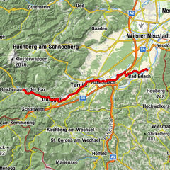
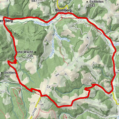
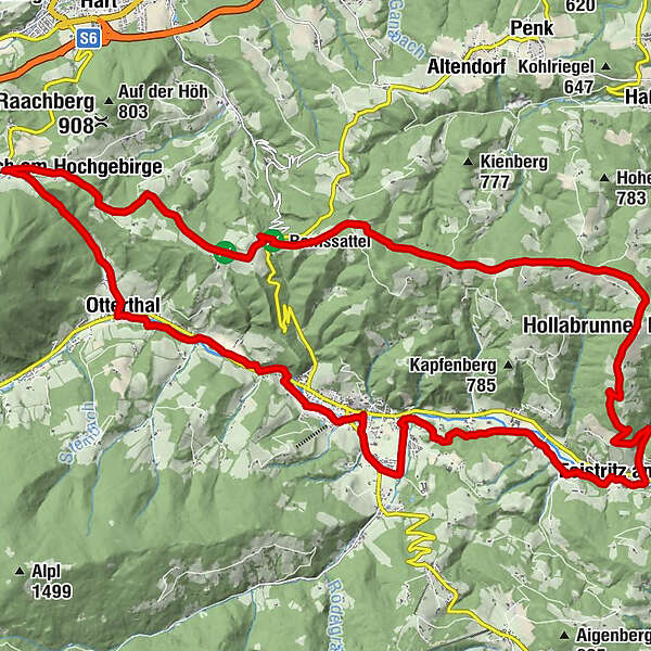
The route starts in Kirchberg and leads to Otterthal, further over the heights to Raach am Hochgebirge, past Ramswirt and Landgasthof Fally and down over the Feistritzer Dorfgraben to Feistritz – from there, it goes back to Kirchberg on the cycle path.
- Sværhedsgrad
-
medium
- Evaluering
-
- Rute
-
Kirchberg am Wechsel0,2 kmEcce-Homo-Höhle2,1 kmSpinnenhöhle2,2 kmVöglhöhle2,2 kmOfenbach2,5 kmRiglersiedlung4,1 kmGasthof zur Post4,8 kmOtterthal5,0 kmHaidersiedlung5,5 kmSchlagl8,2 kmSt. Ägydius9,0 kmRaach am Hochgebirge9,1 kmGasthof Diewald, Waldpension9,2 kmRamswirt13,6 kmSilo14,1 kmLandgasthof Zum Fally18,0 kmSchaffernak19,5 kmSattelberg (874 m)20,0 kmUrbankapelle20,2 kmFeistritz am Wechsel24,7 kmAm Stein30,2 kmWirtshaus Molzbachhof30,6 kmTratten30,6 kmKirchberg am Wechsel32,0 km
- Bedste sæson
-
janfebmaraprmajjunjulaugsepoktnovdec
- Højeste punkt
- 922 m
- Destination
-
Kirchberg am Wechsel municipal office
- Højdeprofil
-

- Forfatter
-
Rundvisningen Feistritzal Route – E-bike bruges af outdooractive.com forudsat.
GPS Downloads


Generel information
Forfriskningsstop
Lovende
Flere ture i regionerne