

© Alpdest CEE - Cécile Collot
© Alpdest CEE - Cécile Collot

© Alpdest CEE - Cécile Collot

© Alpdest CEE - Cécile Collot
© Alpdest CEE - Cécile Collot
© Alpdest CEE - Cécile Collot


- Kort beskrivelse
-
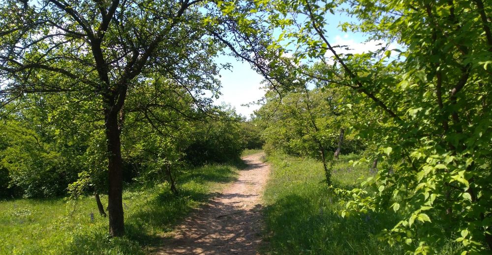
Short easy hike close to the city centre - fully accessible by tram and/or bus any time of day or night
- Rute
-
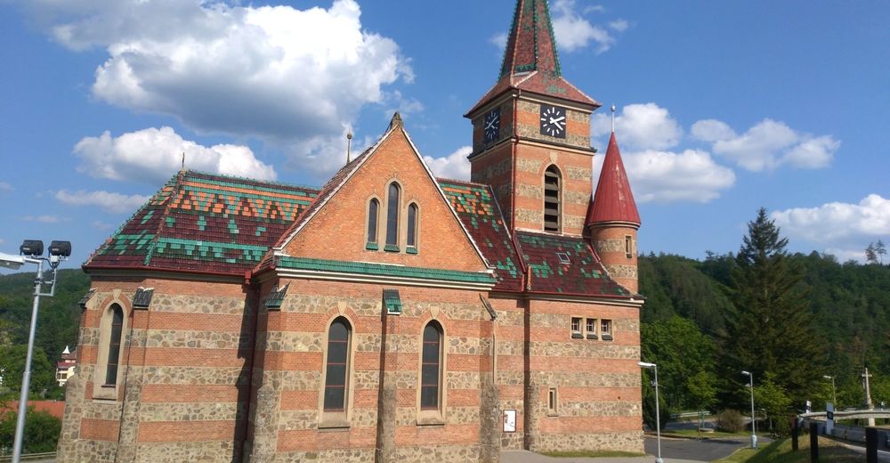
Velká Klajdovka1,0 kmHády (424 m)1,9 kmsvatý Cyril a Metoděj6,6 kmBilowitz6,7 kmPizzerie nad Svitavou6,9 kmSoběšická mulda10,8 kmStudánka Járy Cimrmana12,4 kmZamilec12,8 kmDolní rybník13,0 kmZamilec13,4 km
- Bedste sæson
-
janfebmaraprmajjunjulaugsepoktnovdec
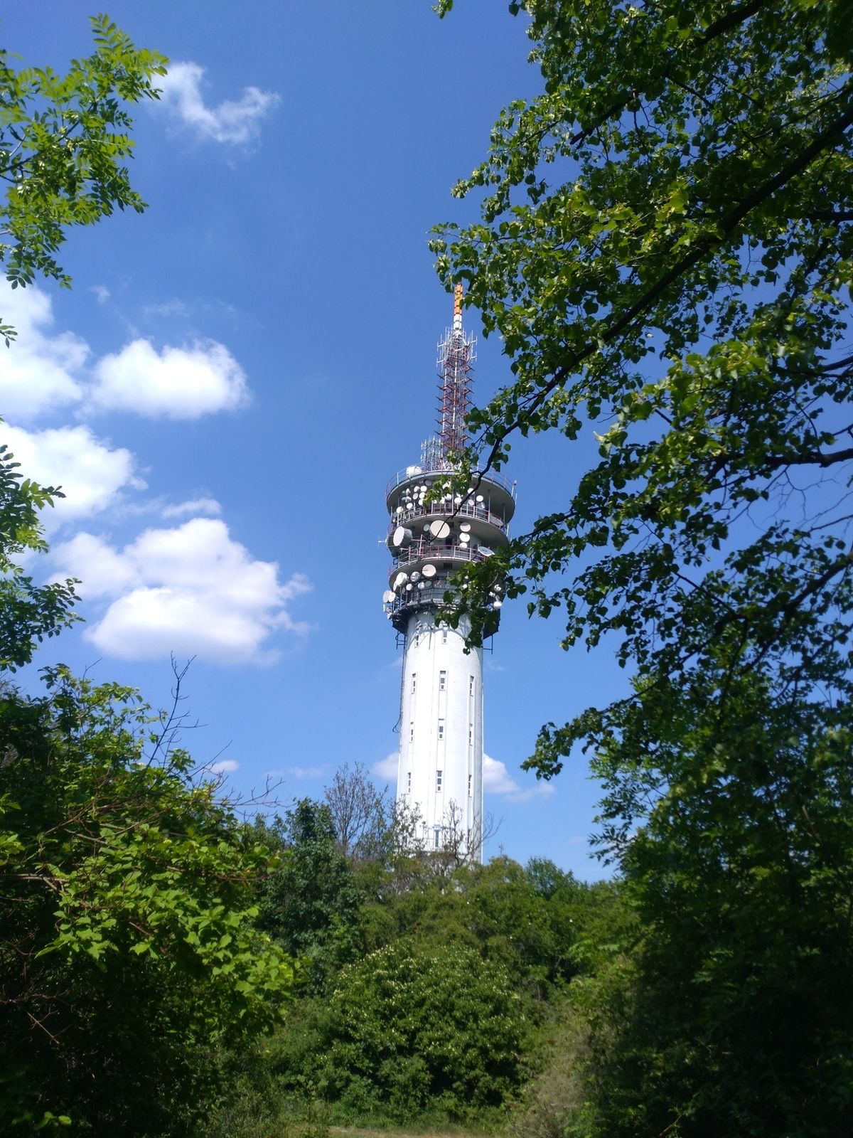
- Højeste punkt
- 439 m
- Destination
-
Žitná bus stop
- Højdeprofil
-
 © outdooractive.com


- Forfatter
-
Rundvisningen Brno east to north bruges af outdooractive.com forudsat.
GPS Downloads


Generel information
Forfriskningsstop
Kulturel/Historisk
Lovende
Flere ture i regionerne