© Stoos-Muotatal Tourismus GmbH - Stoos-Muotatal Tourismus

© Stoos-Muotatal Tourismus GmbH - Stoos-Muotatal Tourismus

© Stoos-Muotatal Tourismus GmbH - Stoos-Muotatal Tourismus

© Stoos-Muotatal Tourismus GmbH - Stoos-Muotatal Tourismus
- Kort beskrivelse
-
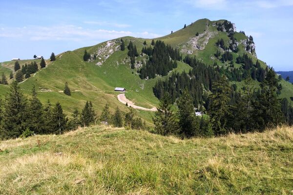
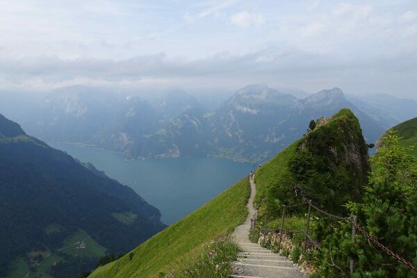
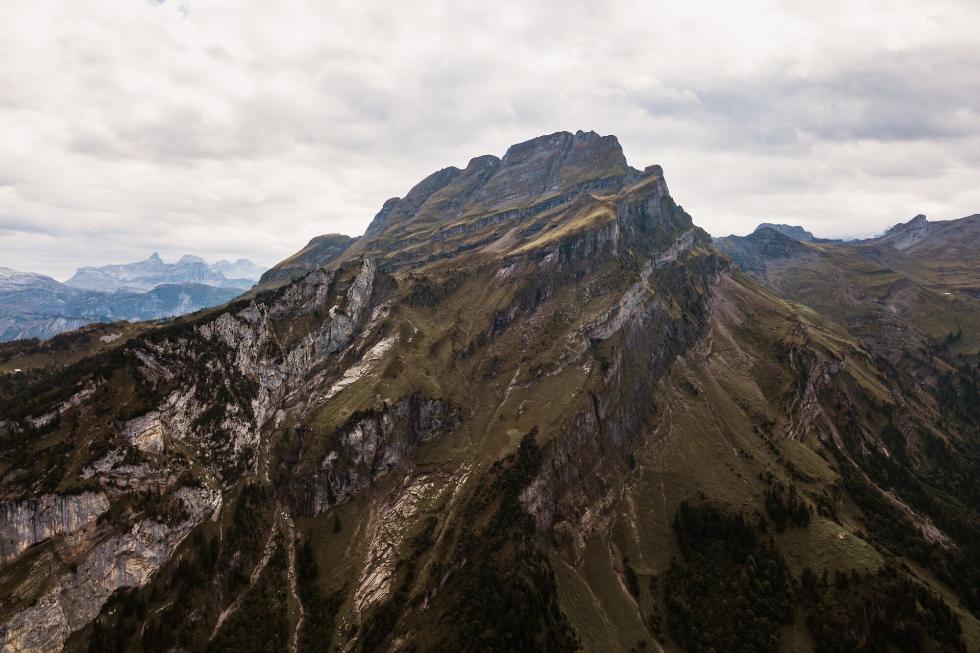
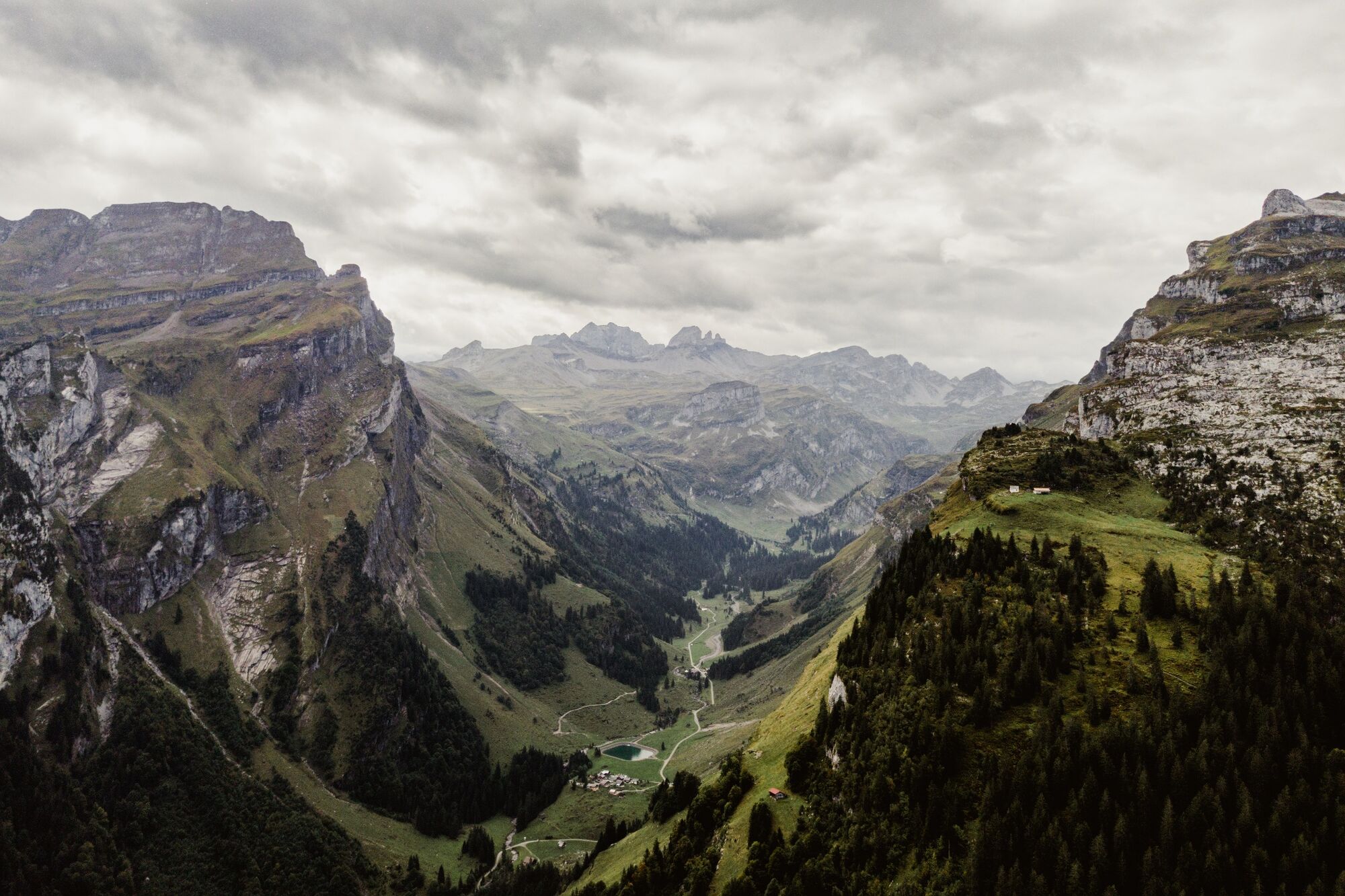
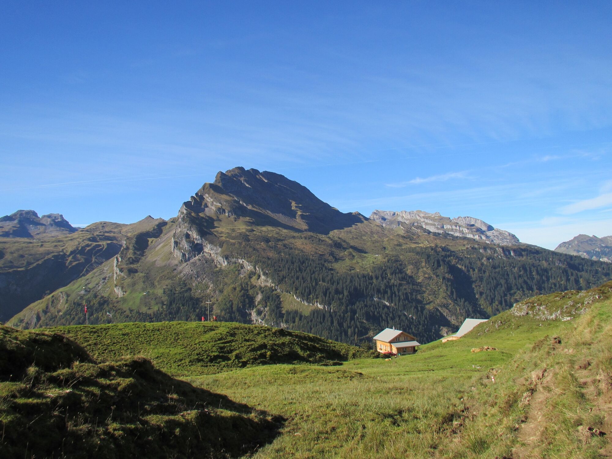
This strenuous hike features plenty of climbing as it follows wonderful paths to the summit. The Wasserberg is visible from afar as it keeps watch, monarch-like, over its subjects.
- Sværhedsgrad
-
tung
- Evaluering
-
- Rute
-
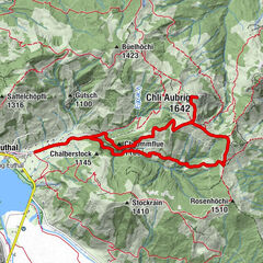
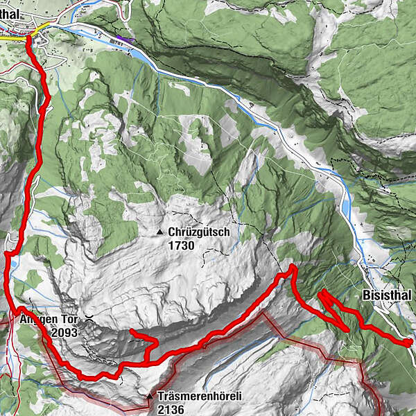
SchwarzenbachBisisthal0,6 kmUntere Träsmeren5,0 kmWasserbergfirst (2.341 m)7,3 kmAlpwirtschaft Lipplisbüel10,9 kmBergrestaurant Lipplisbüel11,7 kmGletschermühlen14,4 kmMuotathal14,9 km
- Bedste sæson
-
janfebmaraprmajjunjulaugsepoktnovdec
- Højeste punkt
- 2.319 m
- Destination
-
Muota velley
- Højdeprofil
-
 © outdooractive.com

- Forfatter
-
Rundvisningen On the Muota valley's local mountain bruges af outdooractive.com forudsat.
GPS Downloads


Generel information
Forfriskningsstop
Insider-tip
Flora
Flere ture i regionerne
-
Schwyz
1748
-
Stoos-Muotatal
846
-
Bisisthal
213