© BirdLife-Naturzentrum Klingnauer Stausee

© BirdLife-Naturzentrum Klingnauer Stausee

© BirdLife-Naturzentrum Klingnauer Stausee

© Aargau Tourismus

© Aargau Tourismus

© Aargau Tourismus

© Aargau Tourismus

© Aargau Tourismus

© Aargau Tourismus

© Switzerland Tourism - Silvano Zeiter

- Kort beskrivelse
-
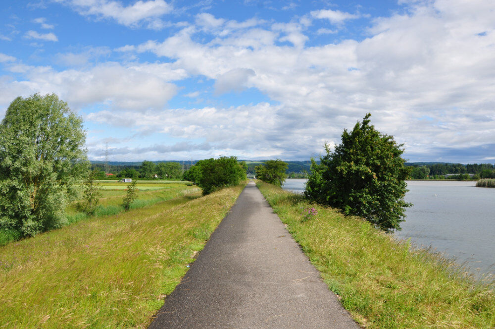
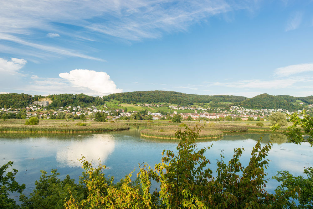
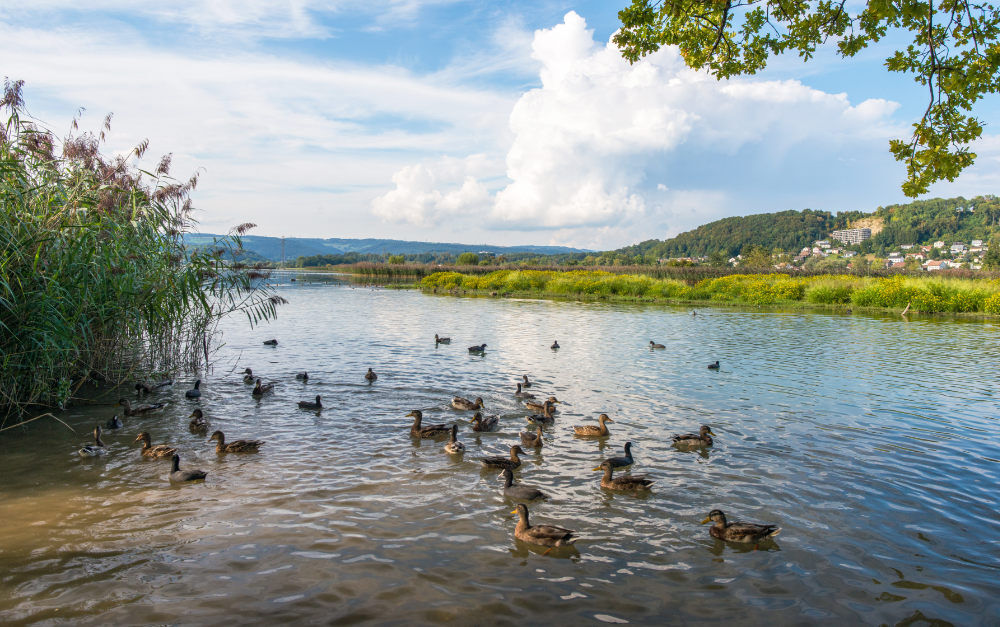
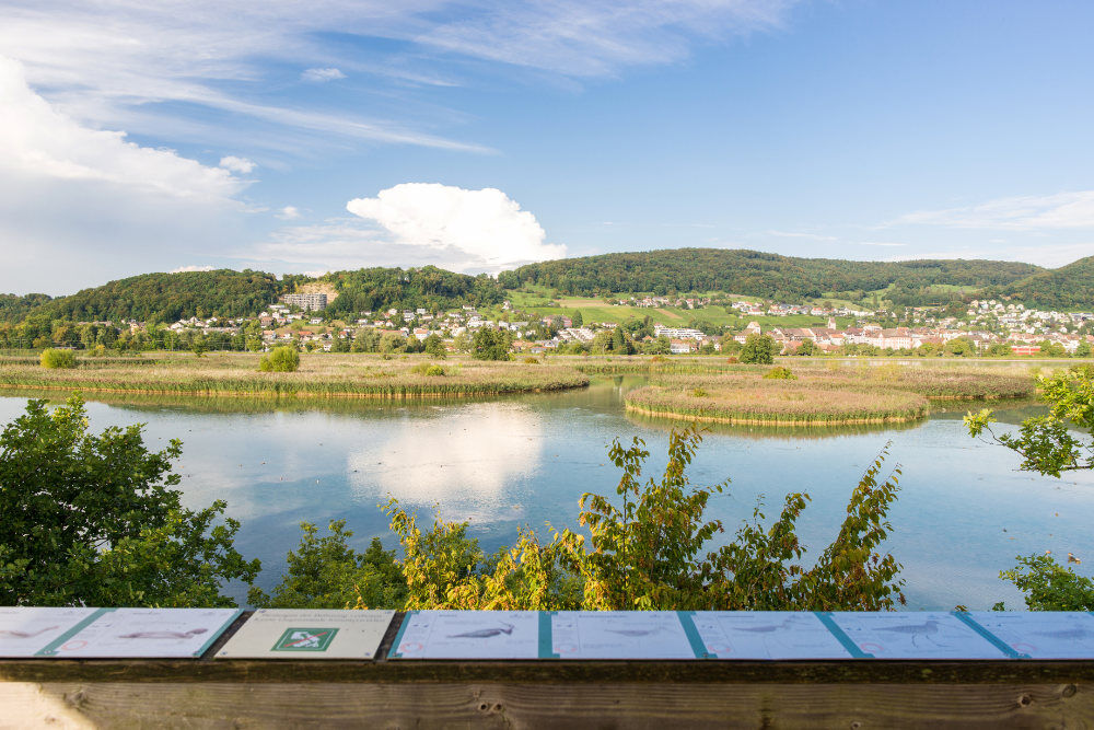
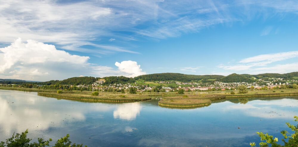
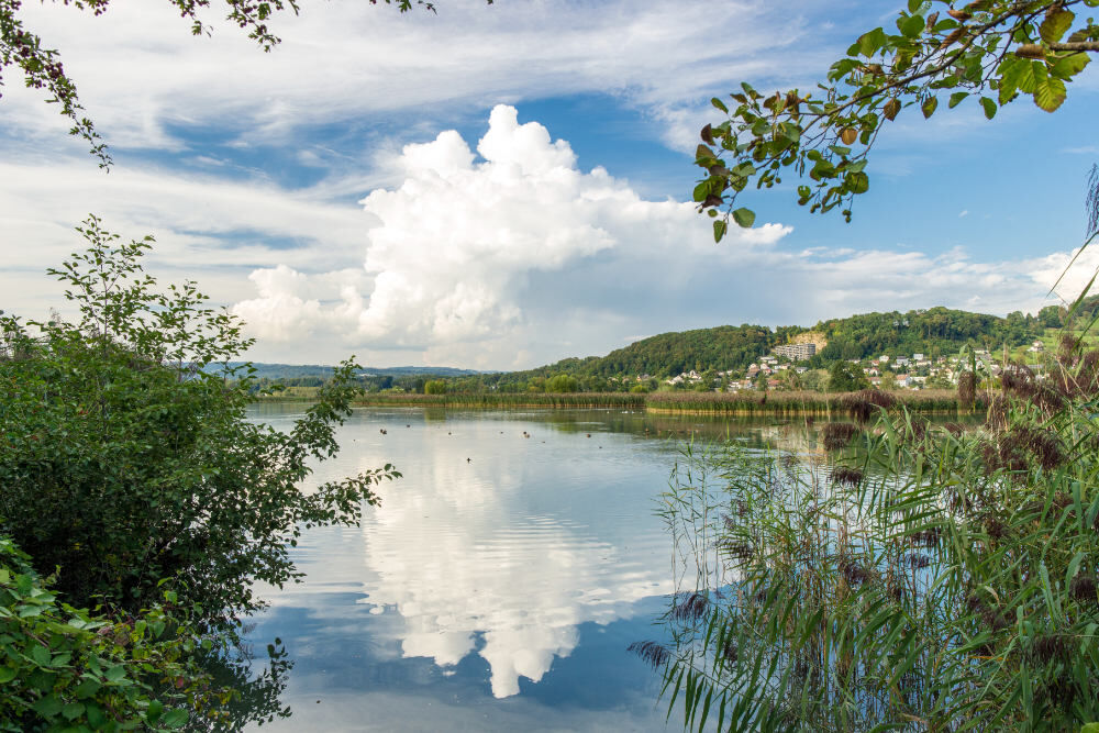
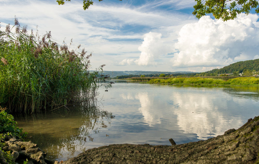
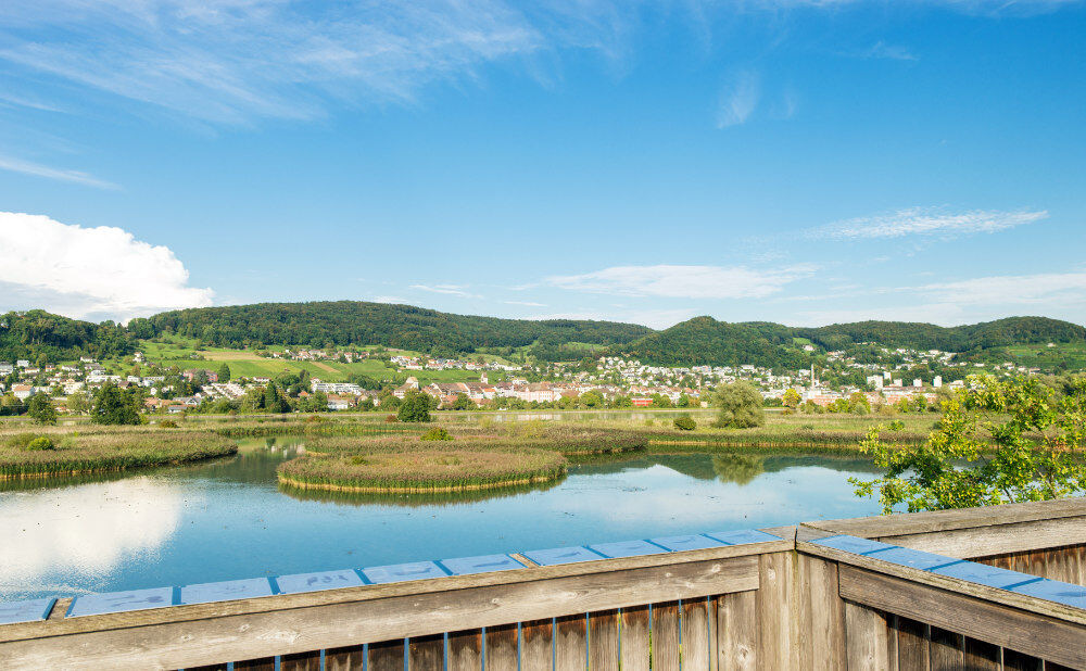
Easy and varied hiking route with no difference in altitude around an internationally renowned waterfowl reserve.
- Sværhedsgrad
-
let
- Evaluering
-
- Rute
-
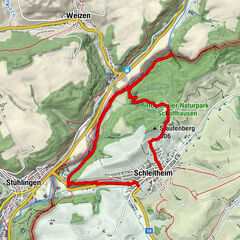
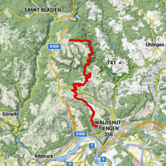
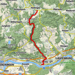
Döttingen (326 m)Döttingen (328 m)0,1 kmKleindöttingen0,9 kmGippingen3,2 kmFelsenau5,4 kmKlingnau (329 m)9,4 kmDöttingen (328 m)10,7 km
- Bedste sæson
-
janfebmaraprmajjunjulaugsepoktnovdec
- Højeste punkt
- 323 m
- Destination
-
Döttingen, railway station
- Højdeprofil
-
 © outdooractive.com
-

-
ForfatterRundvisningen Around the Klingnau reservoir bruges af outdooractive.com forudsat.
GPS Downloads


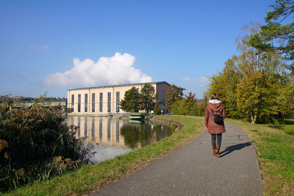
Generel information
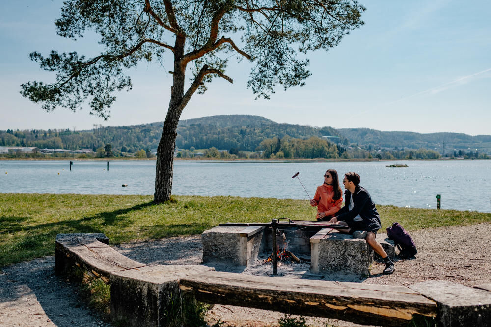
Forfriskningsstop
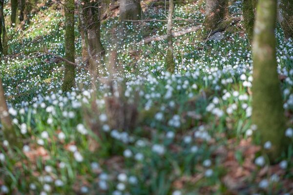
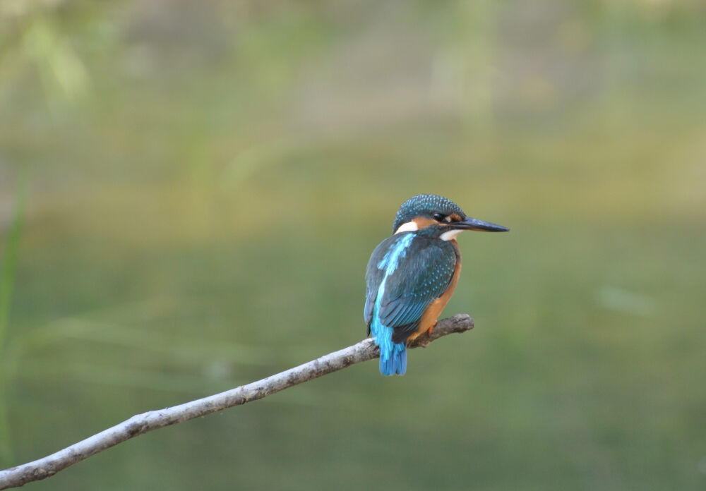
Flora
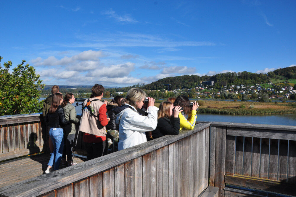
Fauna
Lovende
Flere ture i regionerne
-
Kanton Aargau
1492
-
Hochrhein
753
-
Klingnau
172