© UNESCO Biosphäre Entlebuch - Beat Brechbühl

© UNESCO Biosphäre Entlebuch - Beat Brechbühl

© UNESCO Biosphäre Entlebuch - Beat Brechbühl

© UNESCO Biosphäre Entlebuch - Beat Brechbühl

© UNESCO Biosphäre Entlebuch - Beat Brechbühl

© UNESCO Biosphäre Entlebuch - Beat Brechbühl

© UNESCO Biosphäre Entlebuch - Beat Brechbühl

© UNESCO Biosphäre Entlebuch - Beat Brechbühl
- Kort beskrivelse
-
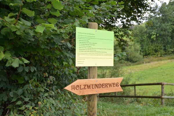
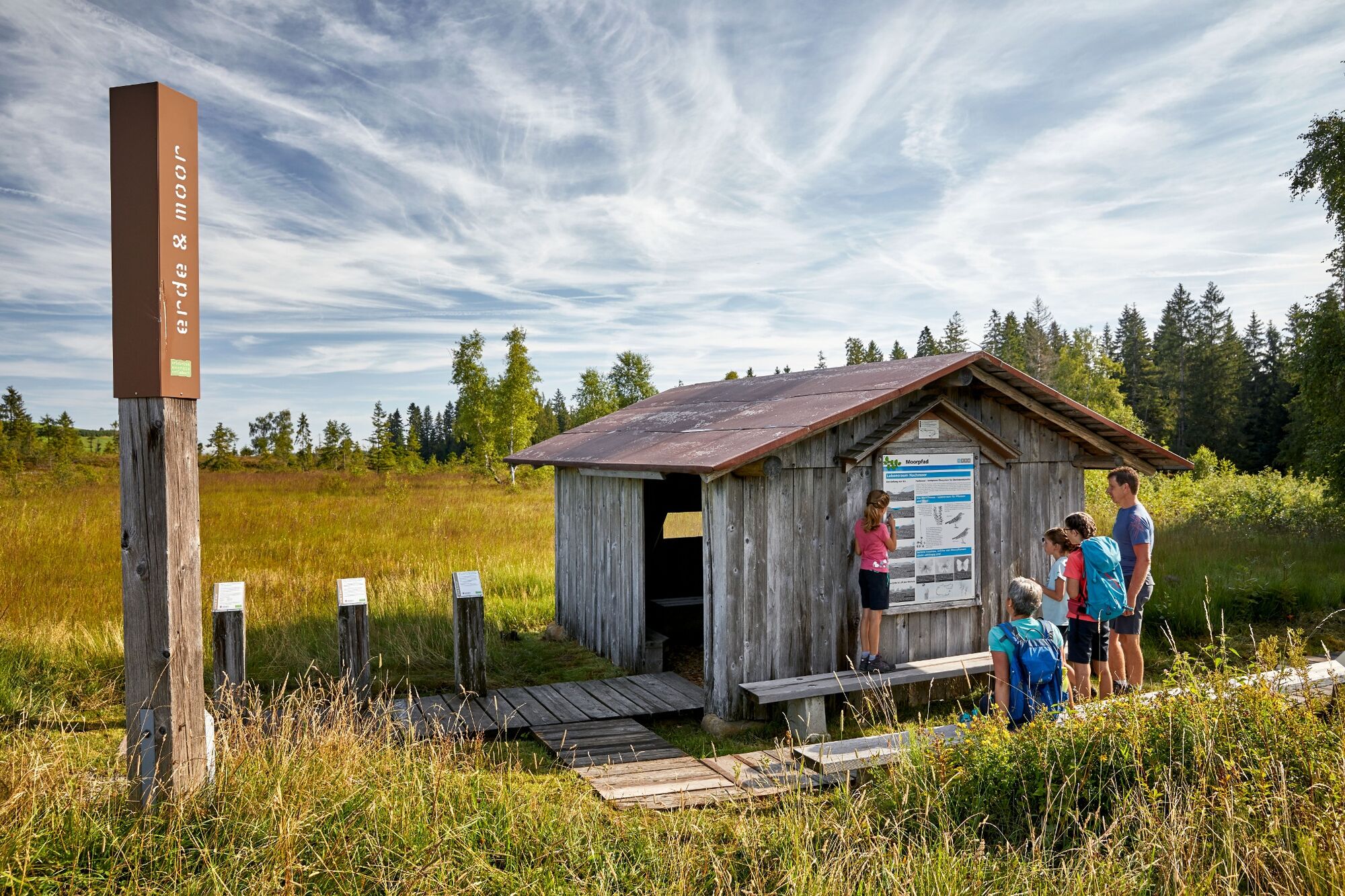
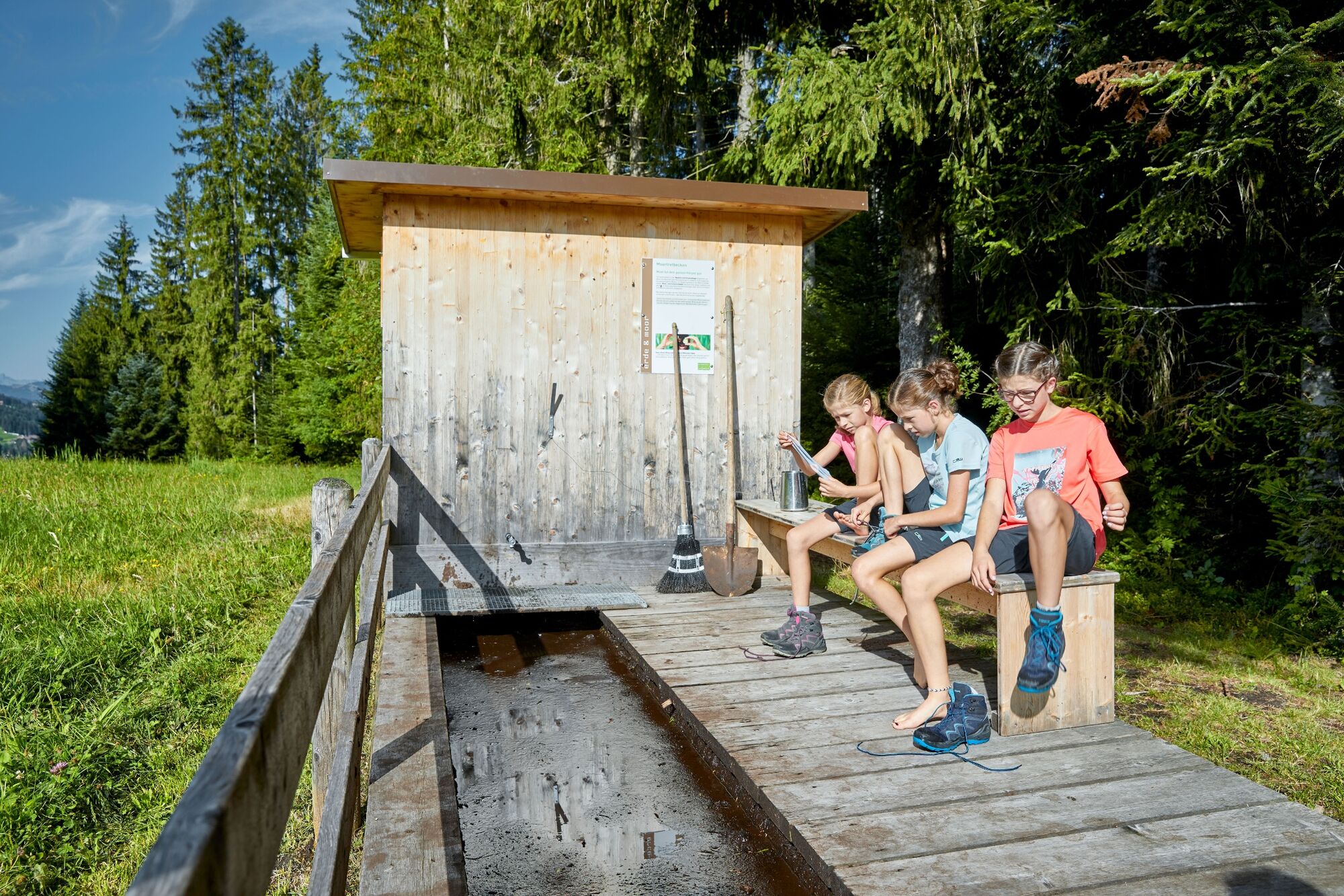
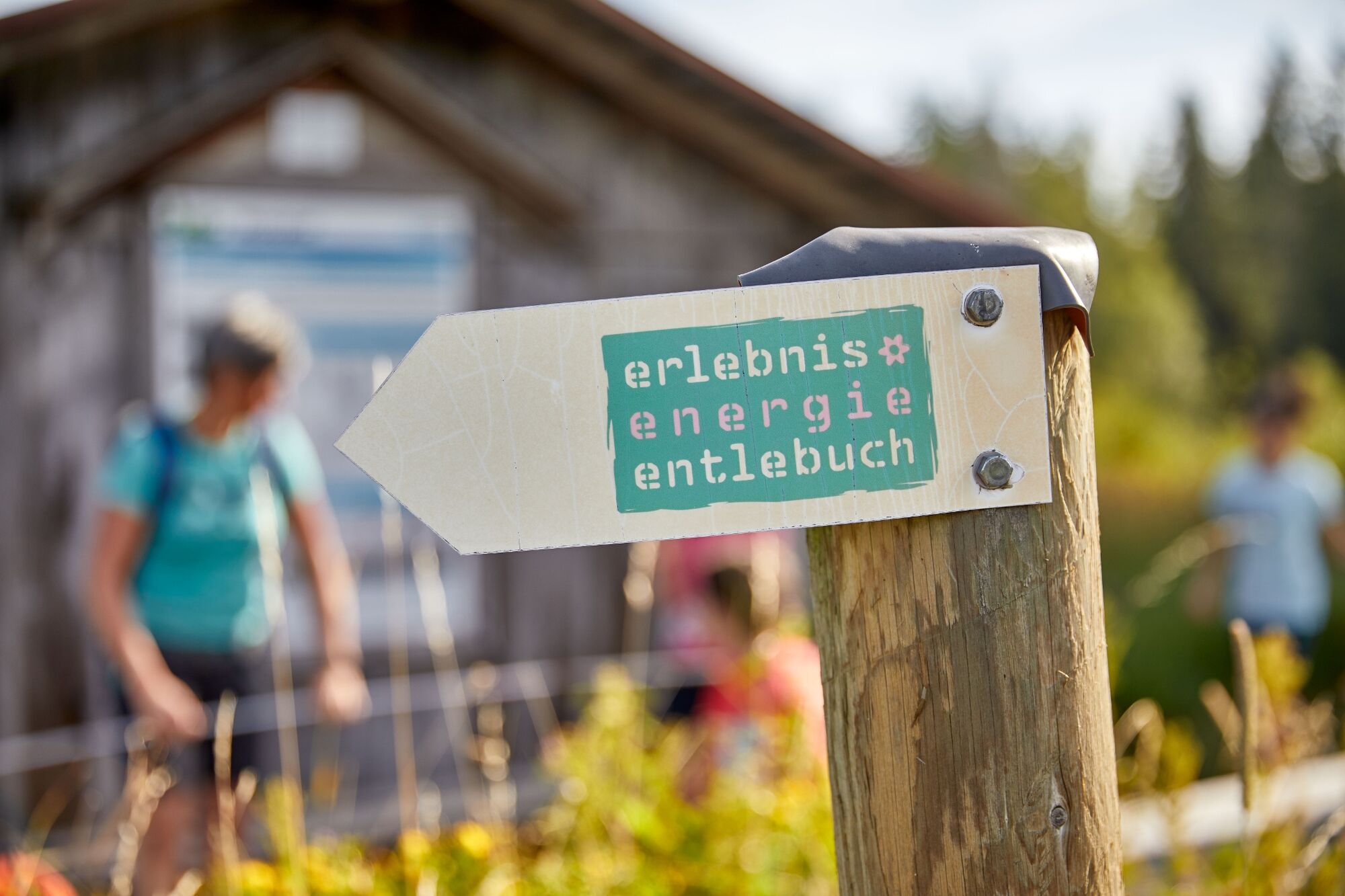
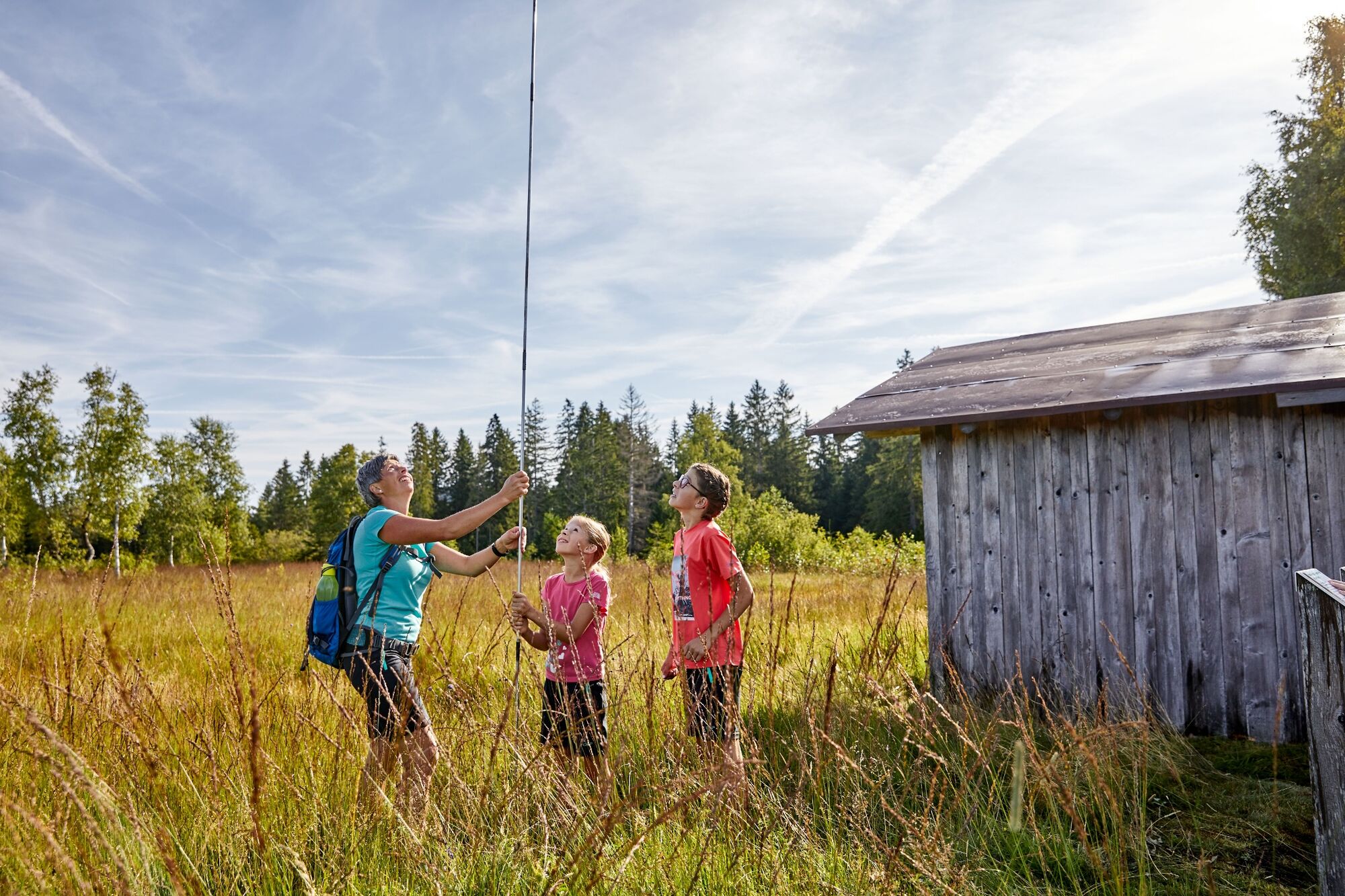
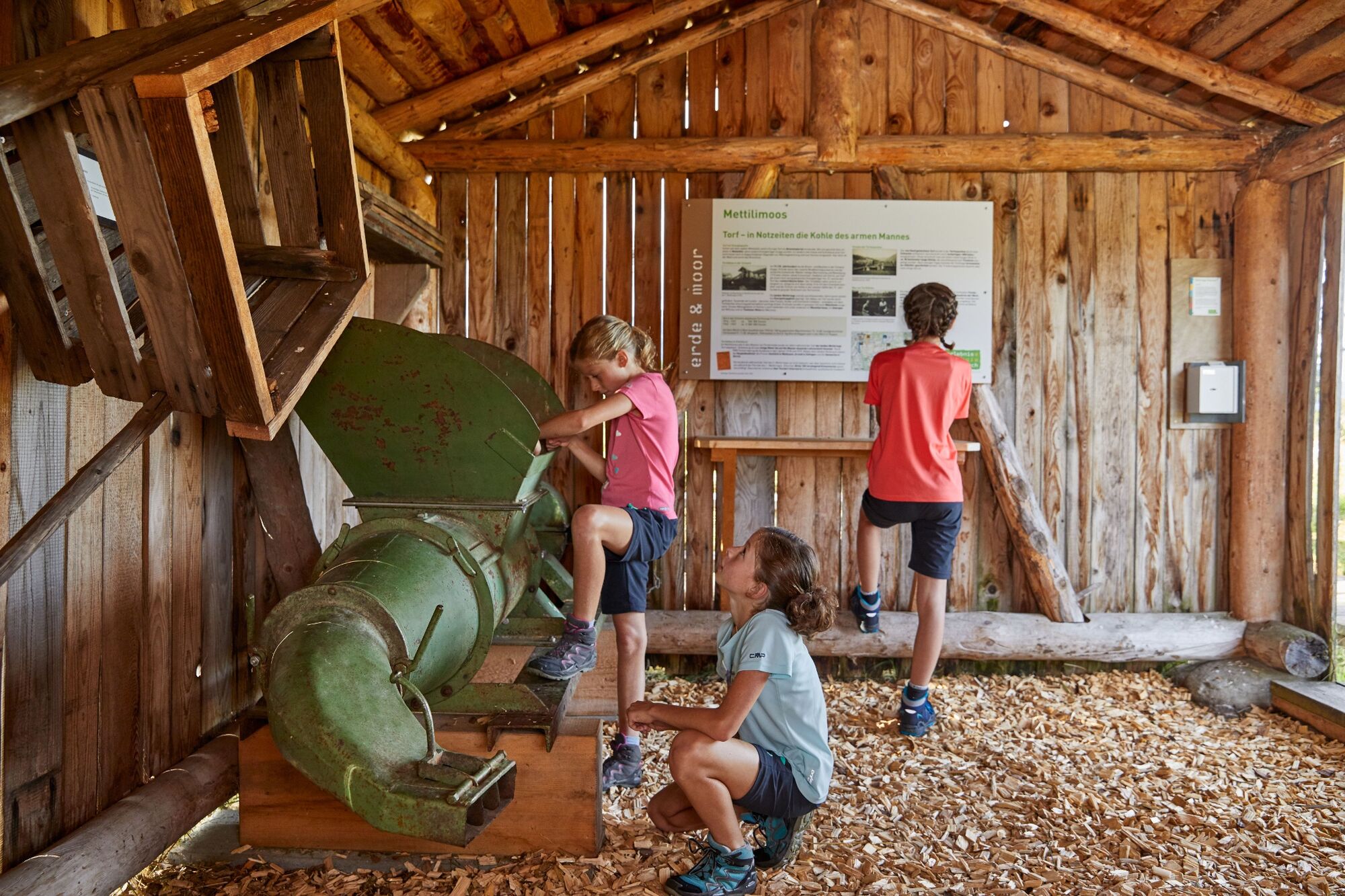
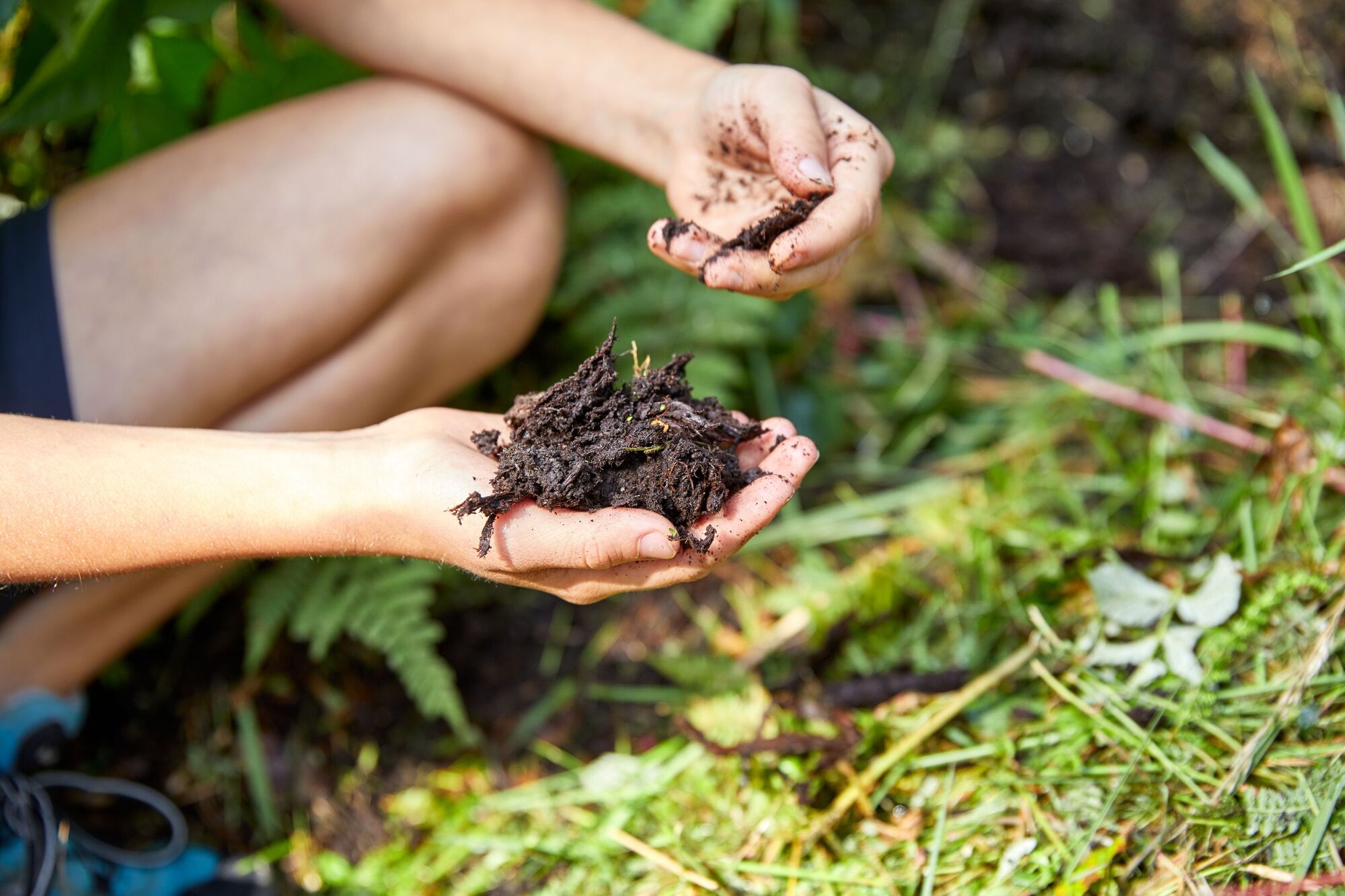
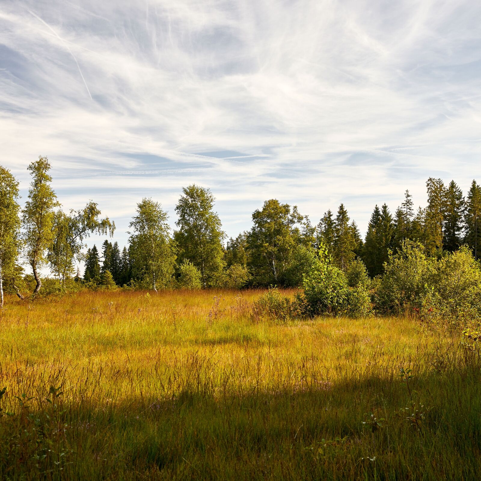
Auf dem Moorpfad wandern Sie durch eindrückliche Hochmoore und blumenreiche Flachmoore.
- Sværhedsgrad
-
let
- Evaluering
-
- Rute
-
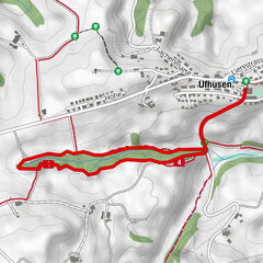
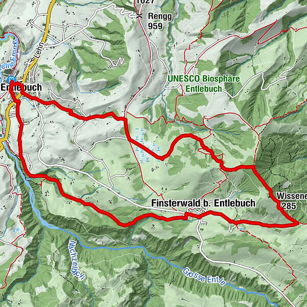
Entlebuch (684 m)Bahnhöfli0,1 kmMeienrisli0,3 kmKatholische Kirche St. Martin0,3 kmEntlebuch (723 m)0,4 kmAlpiliegg (1.279 m)5,6 kmWissenegg (1.285 m)6,2 kmWissenegg7,4 kmFinsterwald b. Entlebuch8,6 kmFinsterwald8,8 kmEntlebuch (723 m)13,8 kmBahnhöfli14,0 km
- Bedste sæson
-
janfebmaraprmajjunjulaugsepoktnovdec
- Højeste punkt
- 1.282 m
- Destination
-
Entlebuch Bahnhof
- Højdeprofil
-
 © outdooractive.com

- Forfatter
-
Rundvisningen Moorpfad Mettilimoos bruges af outdooractive.com forudsat.
GPS Downloads


Generel information
Flora
Flere ture i regionerne
-
Obwalden
2014
-
UNESCO Biosphäre Entlebuch
630
-
Entlebuch LU
152