© UNESCO Biosphäre Entlebuch


© UNESCO Biosphäre Entlebuch

© UNESCO Biosphäre Entlebuch - Caspar Martig


© UNESCO Biosphäre Entlebuch
- Kort beskrivelse
-
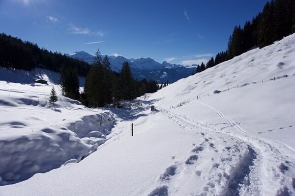
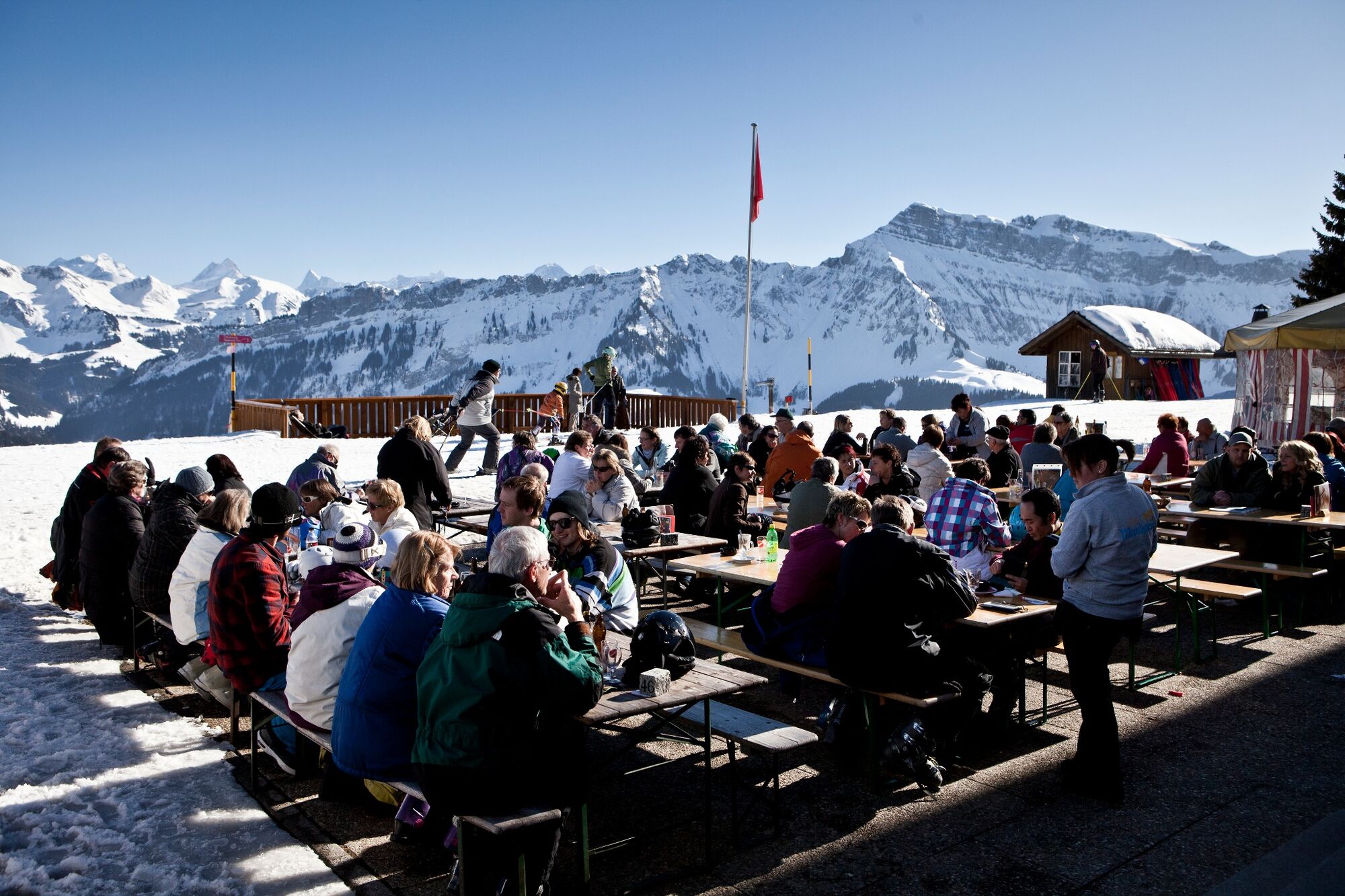
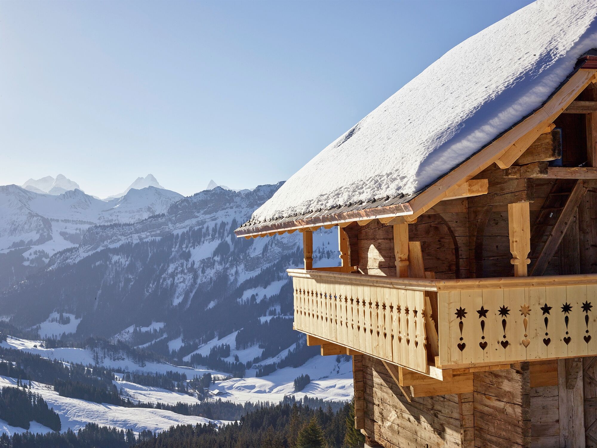
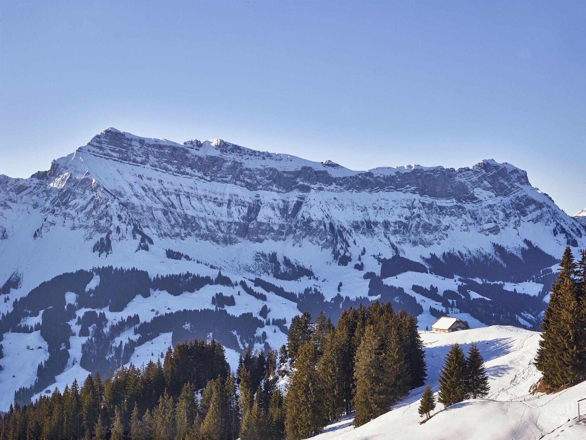
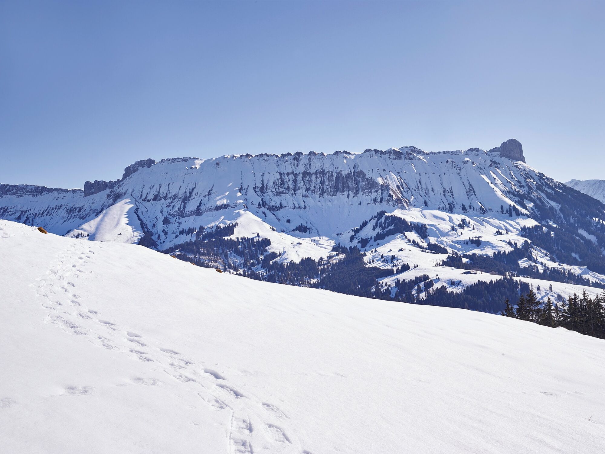
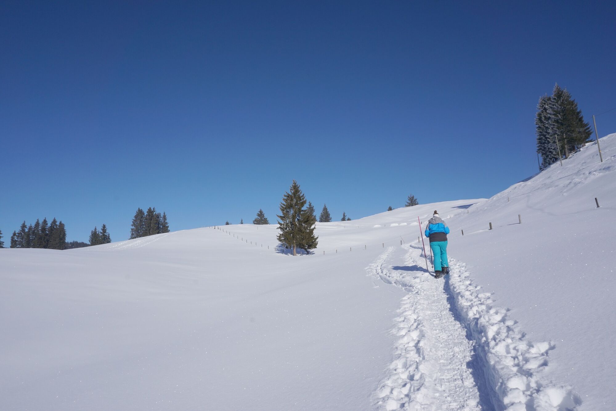
On this trail you can enjoy the idyllic landscape and peace, far away from mass tourism. One thing is for sure: you will always see the breathtaking panorama. Between Schibegütsch and Hohgant, the view opens up to the Bernese High Alps with Schreckhorn, Finsteraarhorn and Eiger.
- Sværhedsgrad
-
medium
- Evaluering
-
- Rute
-
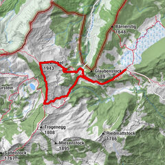
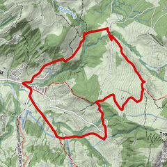
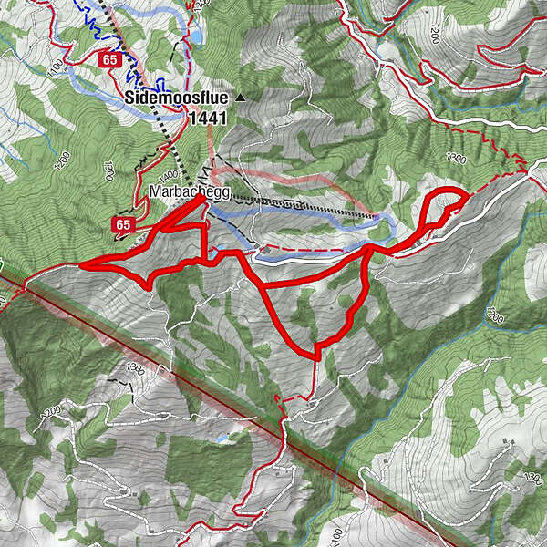
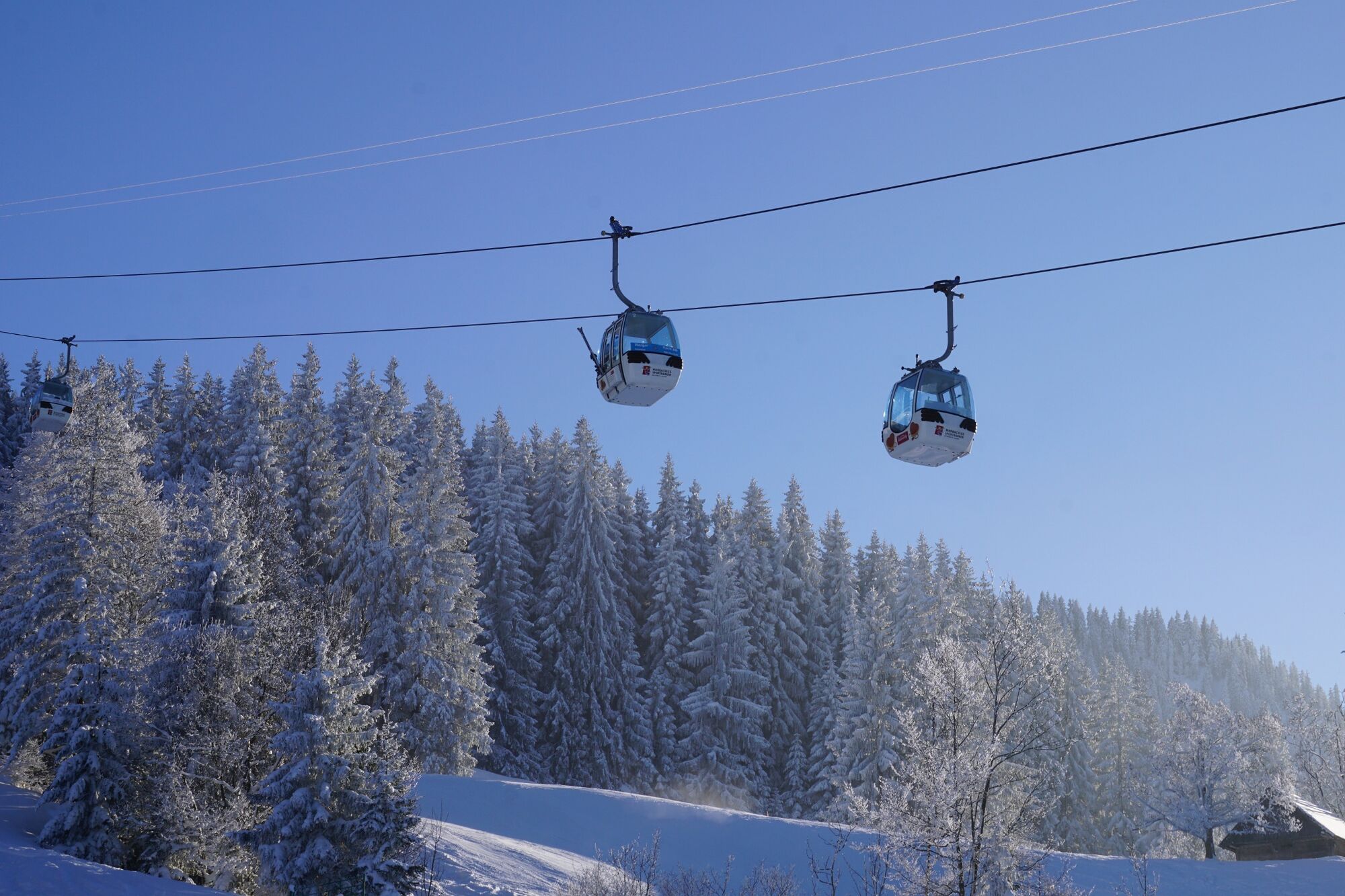
Bergrestaurant Marbachegg0,0 kmMarbachegg0,1 kmMarbachegg6,7 kmBergrestaurant Marbachegg6,7 km
- Bedste sæson
-
augsepoktnovdecjanfebmaraprmajjunjul
- Højeste punkt
- 1.468 m
- Destination
-
Marbachegg
- Højdeprofil
-
 © outdooractive.com
-

-
ForfatterRundvisningen Marbachegg–Kreuzegg Trail bruges af outdooractive.com forudsat.
GPS Downloads


Generel information
Forfriskningsstop
Lovende
Flere ture i regionerne