© Stoos-Muotatal Tourismus GmbH - Stoos-Muotatal Tourismus

© Stoos-Muotatal Tourismus GmbH - Stoos-Muotatal Tourismus

© Stoos-Muotatal Tourismus GmbH - Stoos-Muotatal Tourismus

© Stoos-Muotatal Tourismus GmbH - Stoos-Muotatal Tourismus
- Kort beskrivelse
-
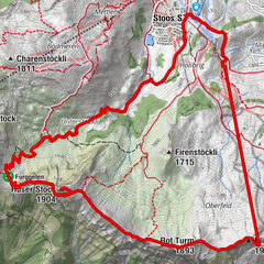
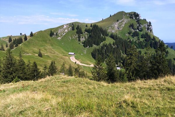
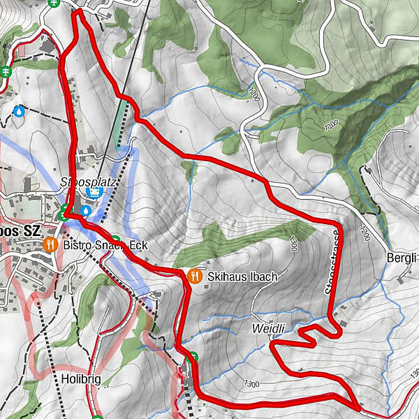
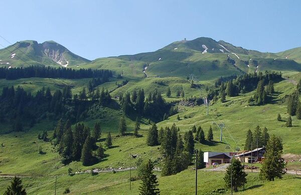
4.6 km walking and jogging trail on the edge of the village of Stoos.
- Sværhedsgrad
-
let
- Evaluering
-
- Rute
-
Nühusweidli2,4 kmStoos SZ (1.305 m)4,2 km
- Bedste sæson
-
janfebmaraprmajjunjulaugsepoktnovdec
- Højeste punkt
- 1.347 m
- Destination
-
Mountain station funicular Schwyz-Stoos
- Højdeprofil
-
 © outdooractive.com


- Forfatter
-
Rundvisningen Nühhusweidli Walking Trail bruges af outdooractive.com forudsat.
GPS Downloads


Generel information
Forfriskningsstop
Lovende
Flere ture i regionerne
-
Schwyz
1748
-
Mythenregion
899
-
Stoos
340