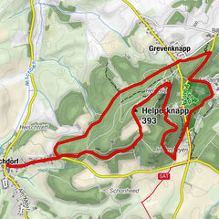
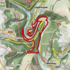
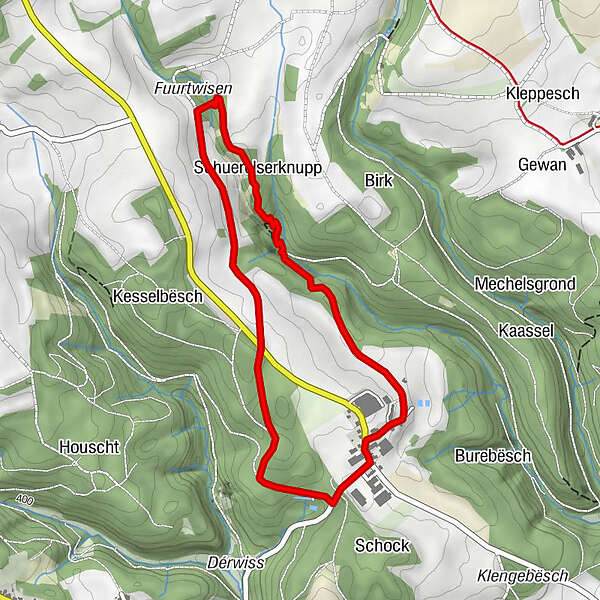
© ORT Éislek

© Visit Éislek

© ORT Éislek

© ORT Éislek

© ORT Éislek

- Kort beskrivelse
-
From the leisurely afternoon round to the challenging hiking tour, everything is included in the Local Hiking Trails.
- Sværhedsgrad
-
let
- Evaluering
-
- Rute
-
Chapelle Saint-RemacleEscheid0,0 kmSchuerelserknupp2,7 kmEscheid4,2 kmChapelle Saint-Remacle4,2 km
- Bedste sæson
-
janfebmaraprmajjunjulaugsepoktnovdec
- Højeste punkt
- 462 m
- Destination
-
Eschette
- Højdeprofil
-
 © outdooractive.com


- Forfatter
-
Rundvisningen Local hiking trail RB 1 - Eschette bruges af outdooractive.com forudsat.
GPS Downloads


Generel information
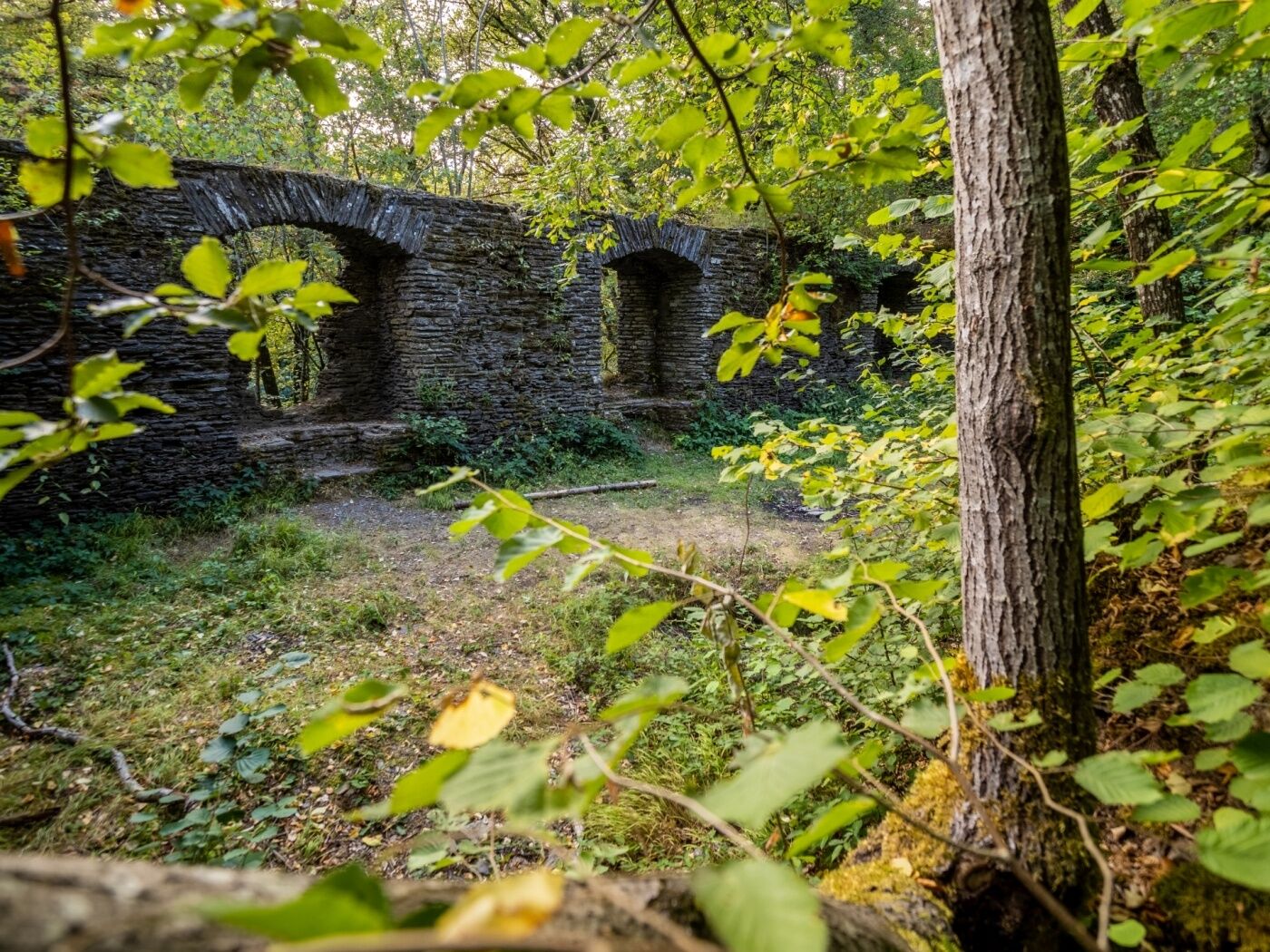
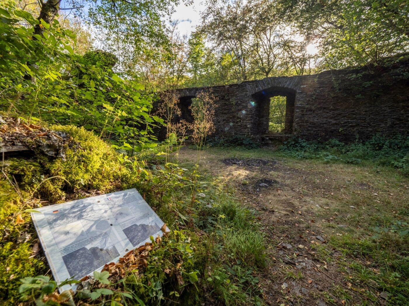
Kulturel/Historisk
Lovende
Flere ture i regionerne
-
Guttland
413
-
Préizerdaul
94