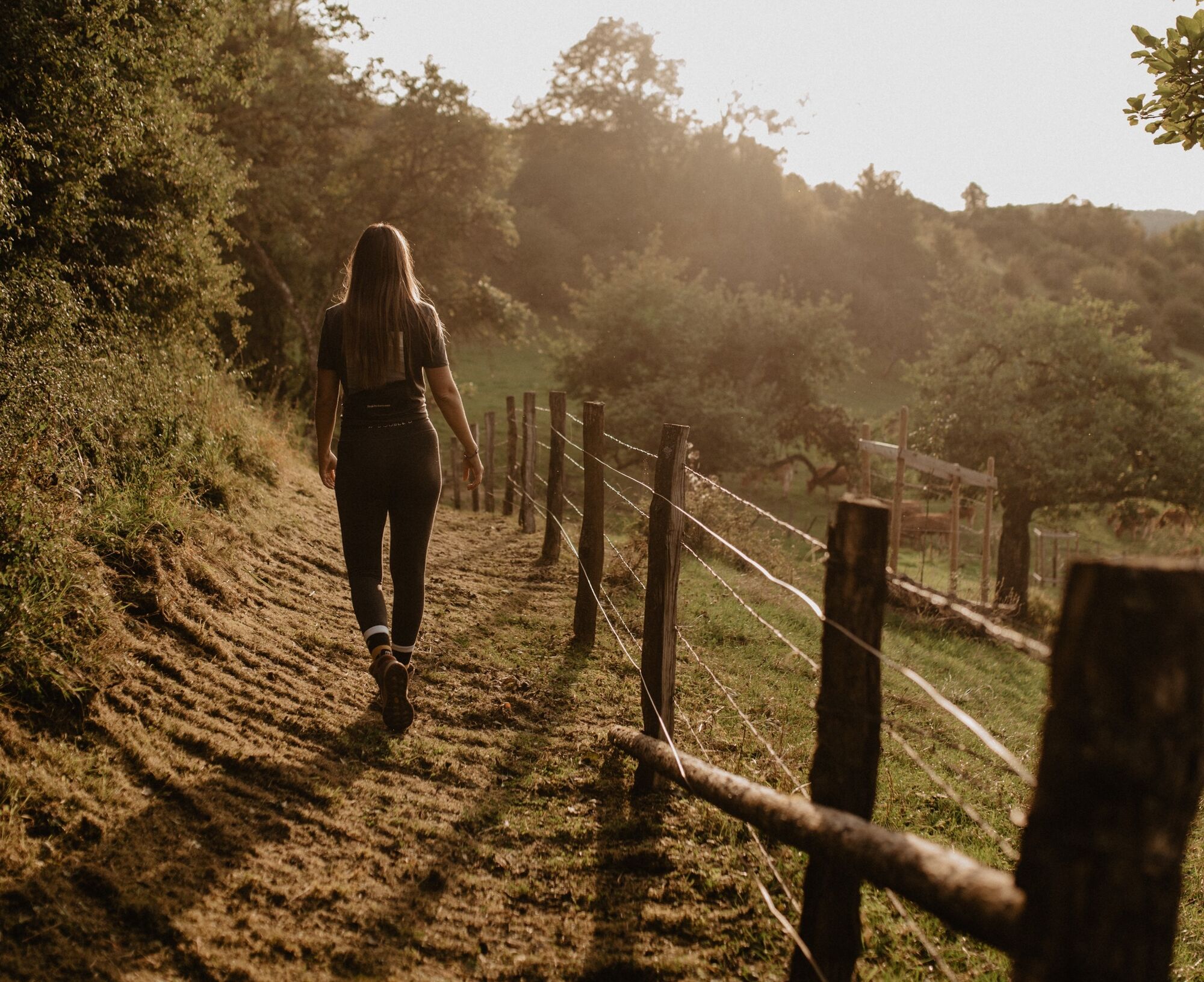
© Visit Éislek

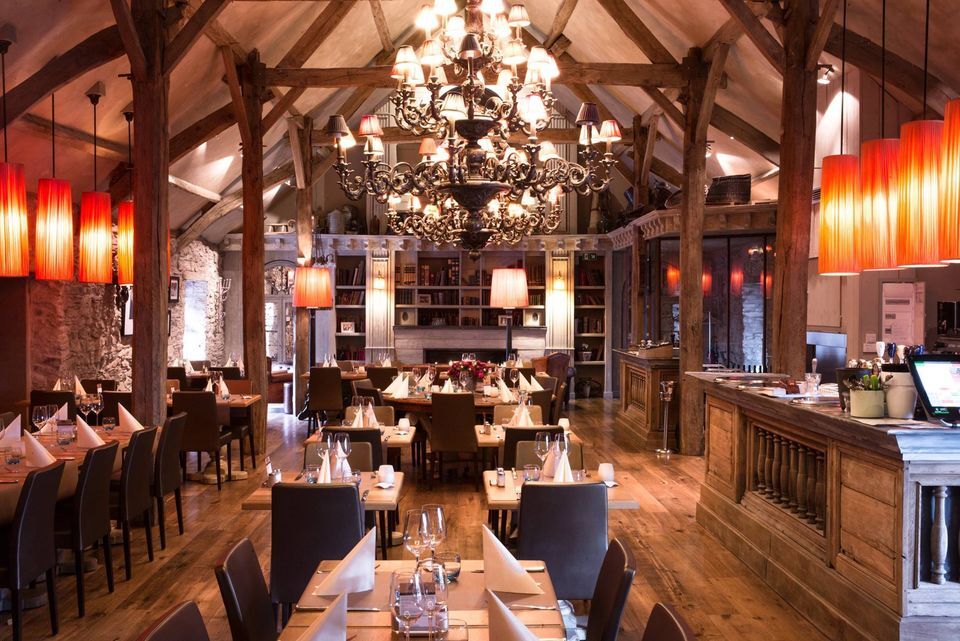
© Restaurant Chez Max

© Visit Éislek

- Kort beskrivelse
-
From the leisurely afternoon round to the challenging hiking tour, everything is included in the Local Hiking Trails.
- Sværhedsgrad
-
let
- Evaluering
-
- Rute
-
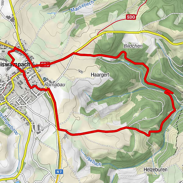
Weiswampach0,1 kmRestaurant Chez Max0,3 kmWeiswampach6,1 km
- Bedste sæson
-
janfebmaraprmajjunjulaugsepoktnovdec
- Højeste punkt
- 512 m
- Destination
-
Weiswampach
- Højdeprofil
-
 © outdooractive.com

- Forfatter
-
Rundvisningen Local hiking trail WW 2 - Weiswampach bruges af outdooractive.com forudsat.
GPS Downloads


Generel information
Lovende
Flere ture i regionerne