
- Kort beskrivelse
-
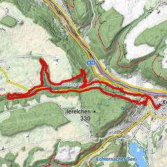
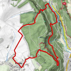
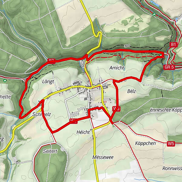
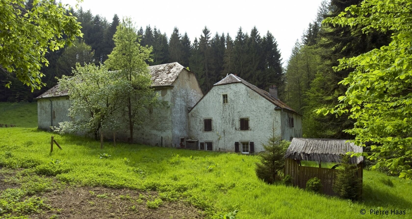
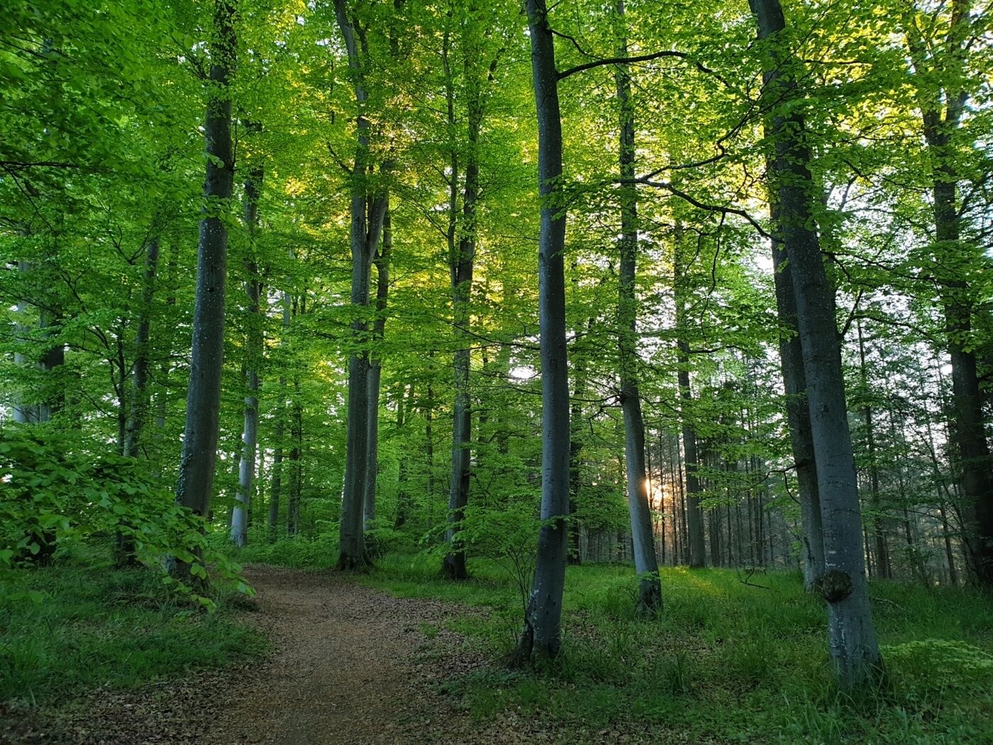
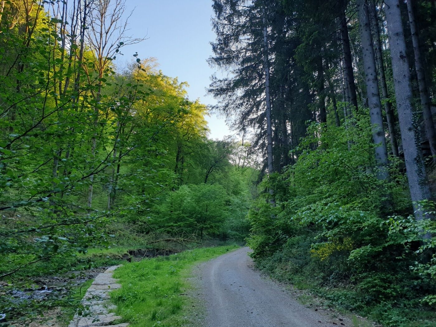
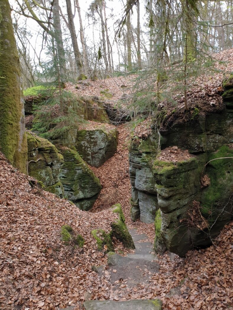
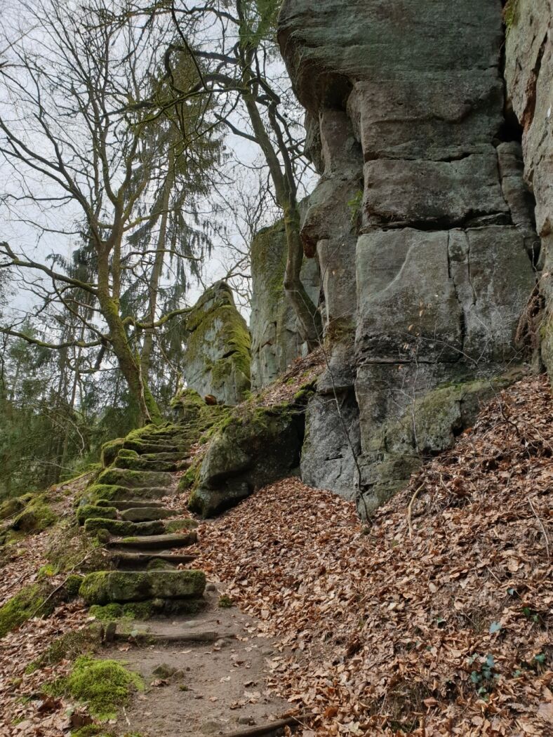
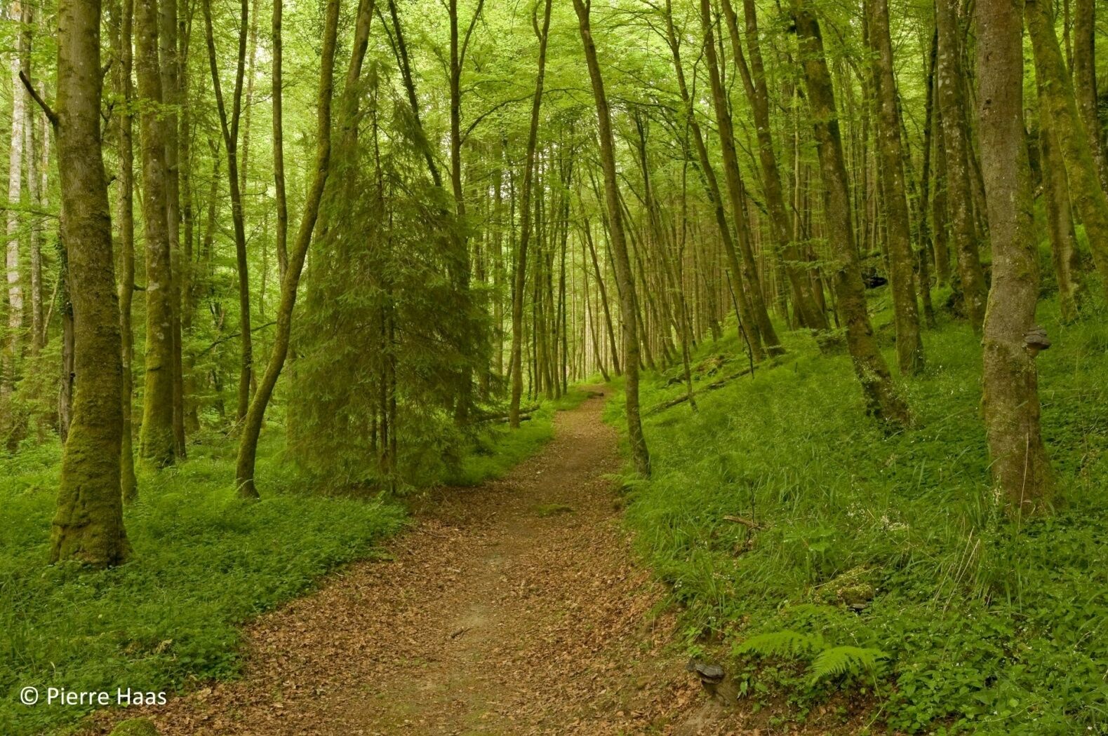
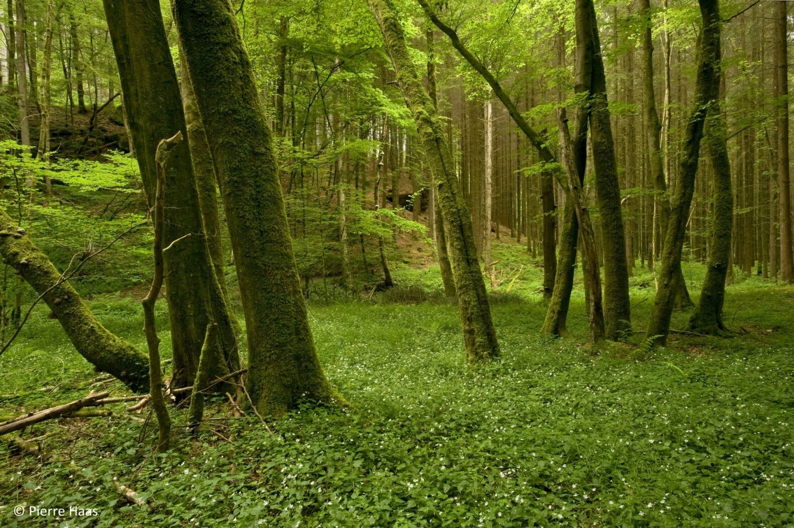
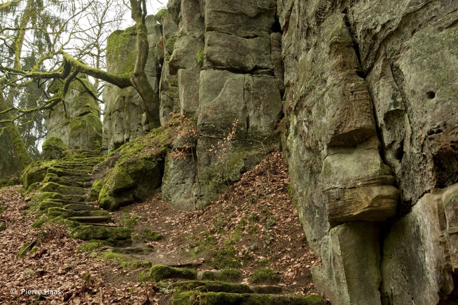
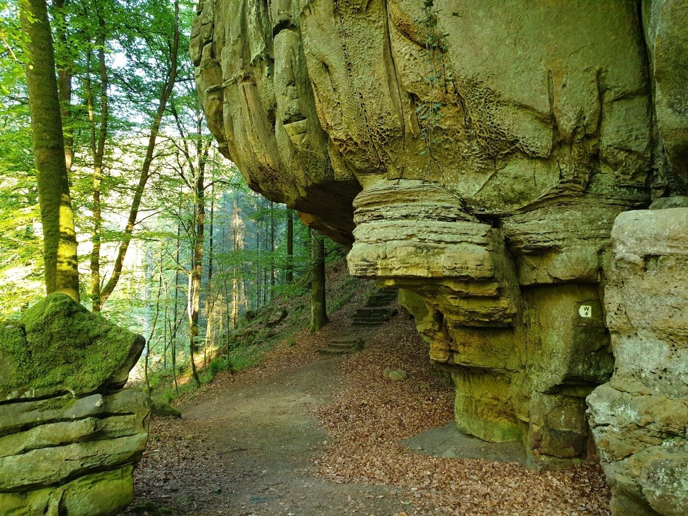
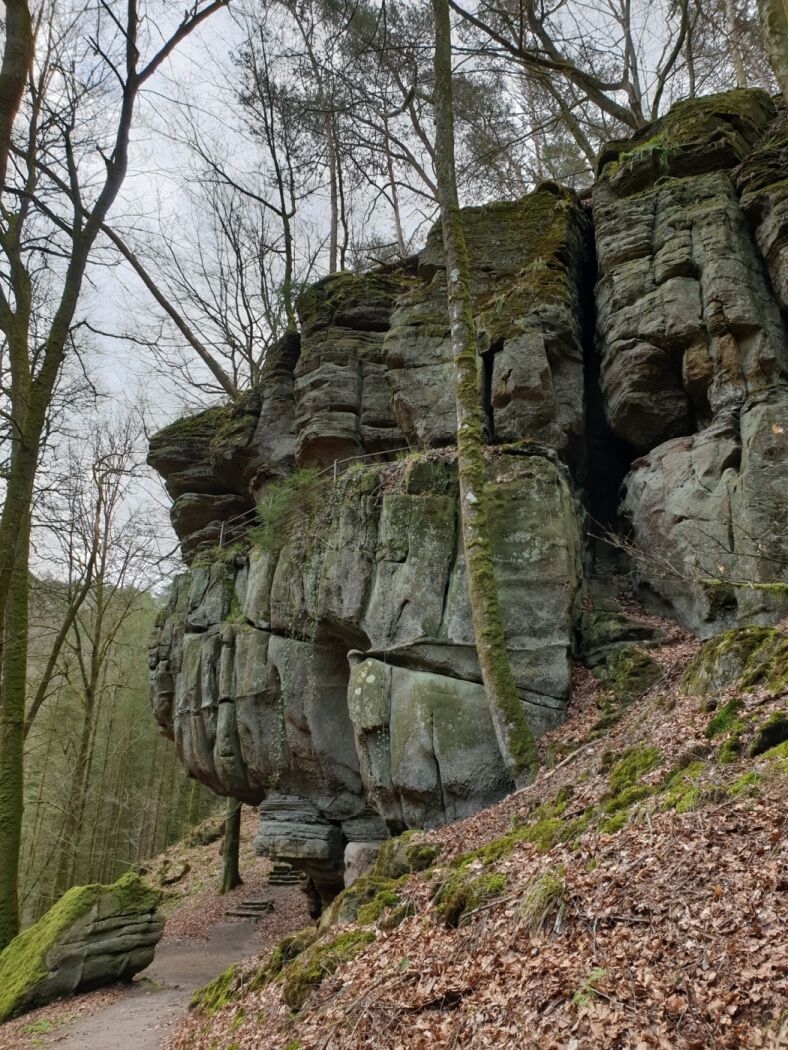
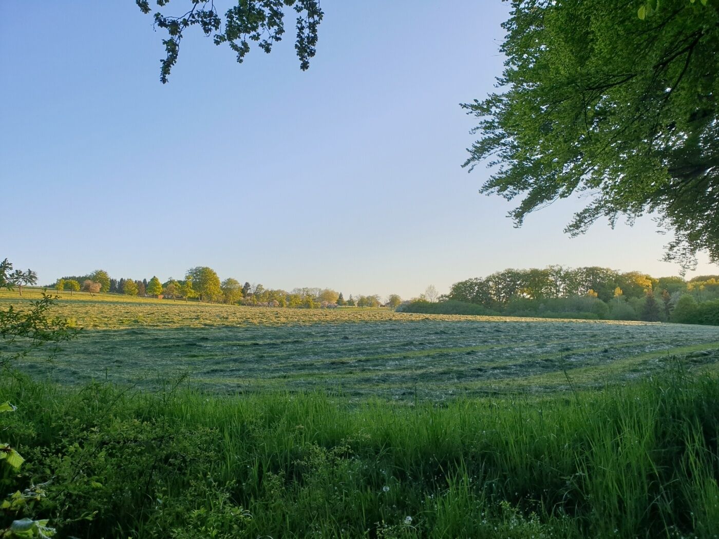
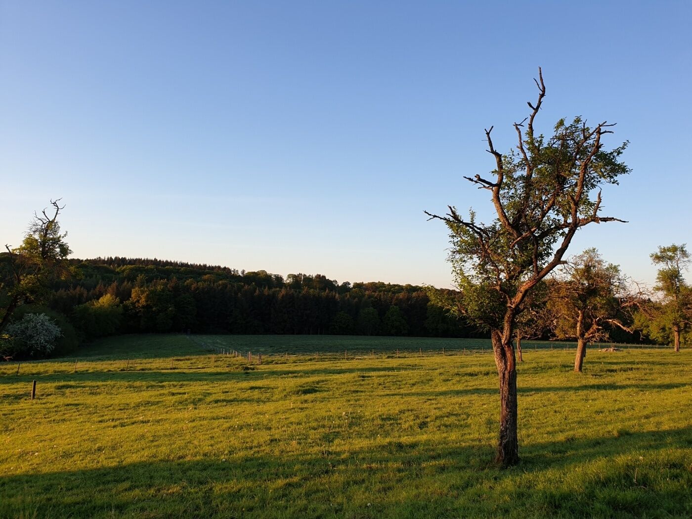
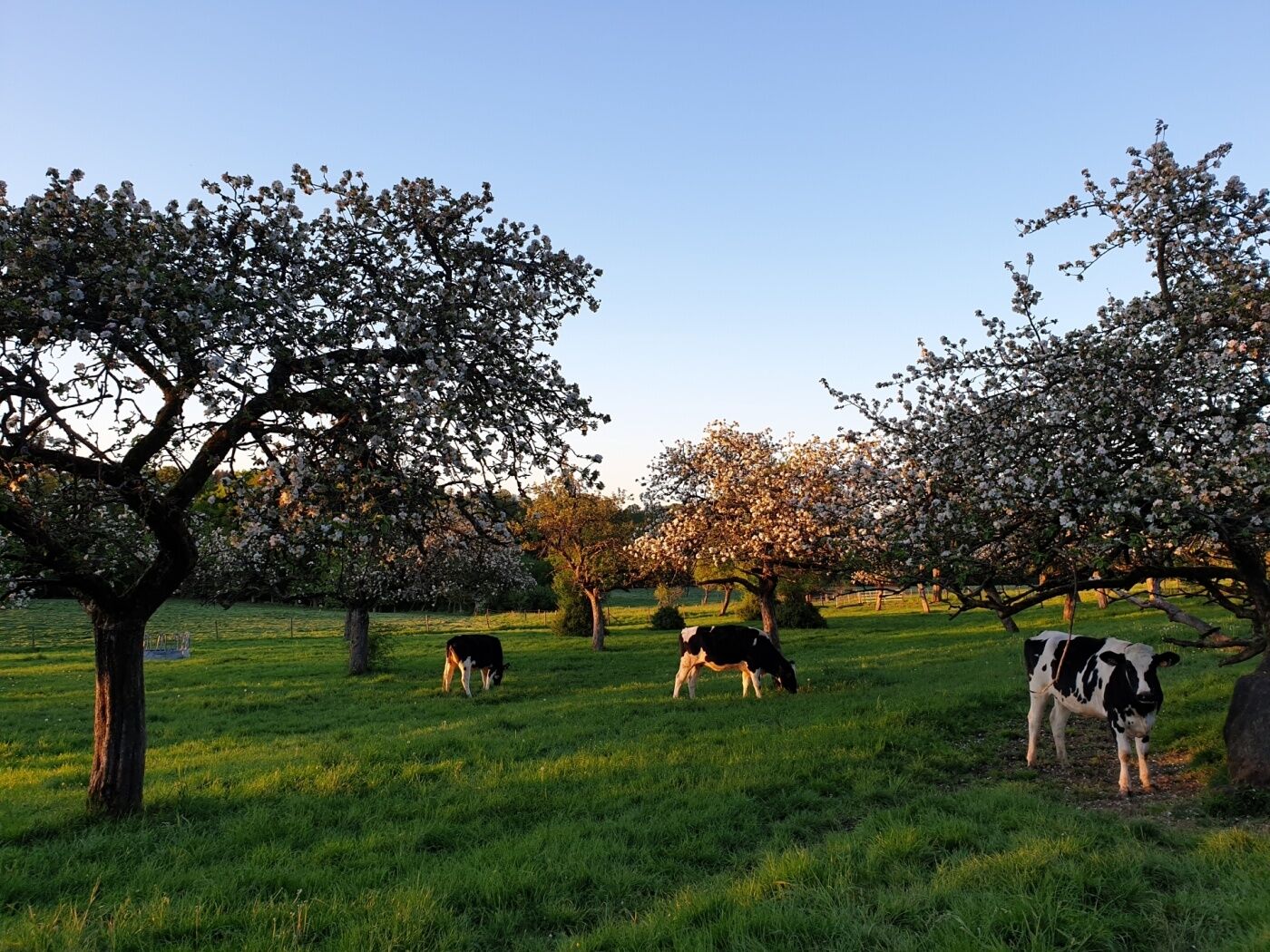
Varied tour offering forests, rocks, water and fields, suitable for families.
- Sværhedsgrad
-
let
- Evaluering
-
- Rute
-
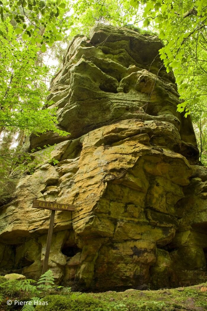
Brenschenterlay1,4 kmFlickenhaff4,5 kmGudde Kascht5,6 kmHaller5,8 km
- Bedste sæson
-
janfebmaraprmajjunjulaugsepoktnovdec
- Højeste punkt
- 364 m
- Destination
-
Haller: Parking Rue du Hallerbach
- Højdeprofil
-
 © outdooractive.com

- Forfatter
-
Rundvisningen Local hiking trail - W4 bruges af outdooractive.com forudsat.
GPS Downloads


Flere ture i regionerne
-
Müllerthal
548
-
Diekirch
182