© Visit Éislek

© Visit Éislek - DAN CASTIGLIA 2020

© Visit Luxembourg - Visit Éislek

© Visit Luxembourg - Visit Éislek

© Visit Éislek - dcastigl@pt.lu2019


- Kort beskrivelse
-
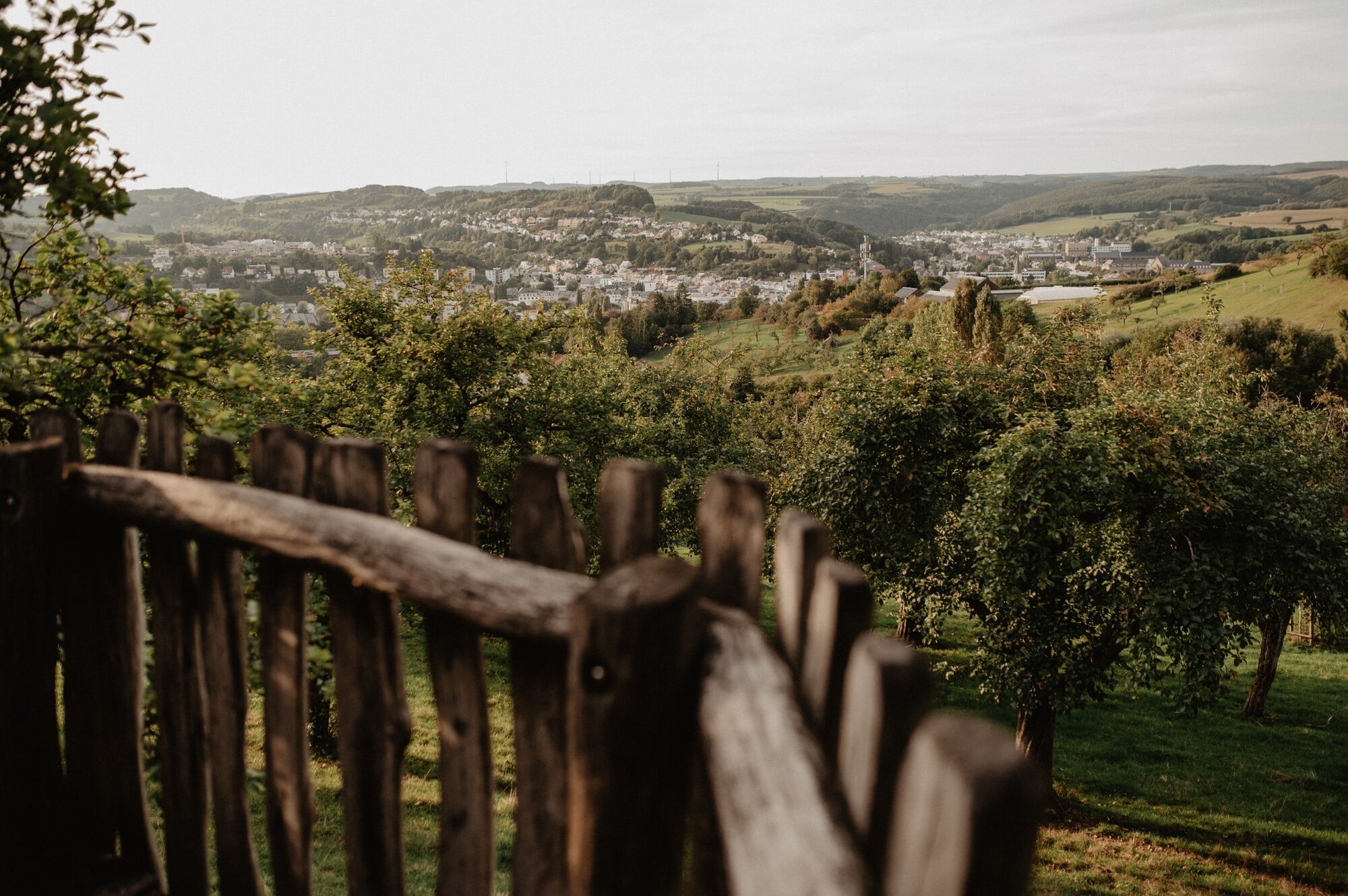
Near the big city
- Sværhedsgrad
-
medium
- Evaluering
-
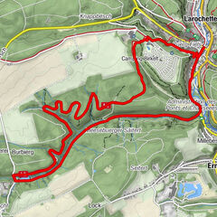
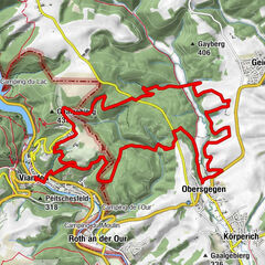
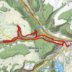
- Rute
-
DiekirchEttelbrück5,9 kmDiekirch14,2 km
- Bedste sæson
-
janfebmaraprmajjunjulaugsepoktnovdec
- Højeste punkt
- 367 m
- Destination
-
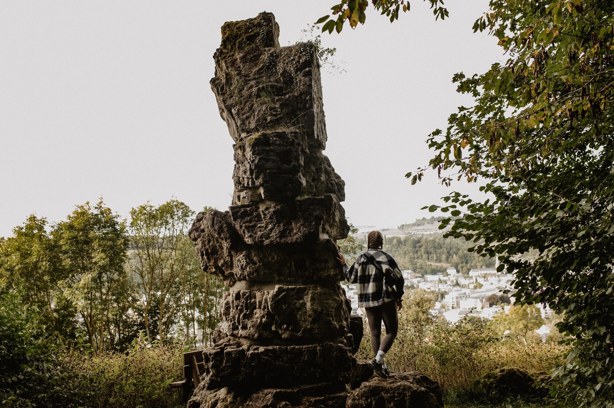
Field path at the end of the road, In Bedigen, Diekirch
- Højdeprofil
-
 © outdooractive.com


- Forfatter
-
Rundvisningen Éislek Pad Diekirch bruges af outdooractive.com forudsat.
GPS Downloads


Generel information
Forfriskningsstop
Kulturel/Historisk
Flora
Fauna
Lovende