© be active LIGURIA - Agenzia Turistica Liguria

© be active LIGURIA - Agenzia Turistica Liguria

- Kort beskrivelse
-
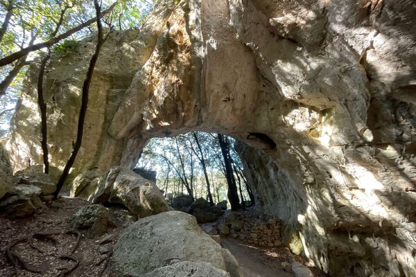
The Altopiano delle Conche, or San Bernardino is the widest of all the plateaus of Finale, covered with dense vegetation, hilly and with many short karst valleys. Today the area is very wild, but in the past it was populated and cultivated. Along the footpaths you find many traces of the ancient human presence: shelters, old ruined farms, dry stone walls which once supported cultivated fields.
- Rute
-
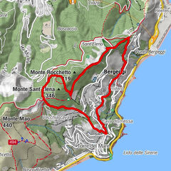
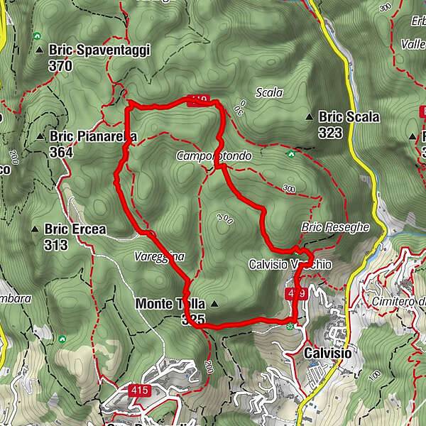
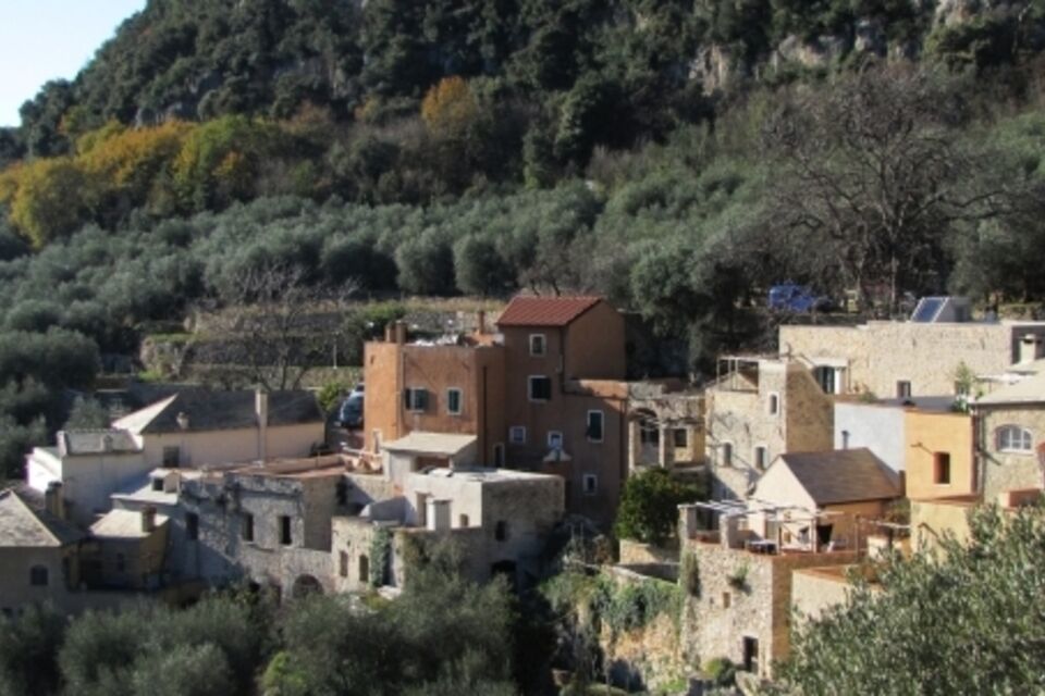
Chiesa di San CiprianoCalvisioSorgente Ruggetta0,7 kmCase Cerisola2,1 kmCamporotondo3,4 kmConchette4,0 kmCalvisio Vecchio4,6 kmCalvisio4,9 kmChiesa di San Cipriano5,0 km
- Bedste sæson
-
janfebmaraprmajjunjulaugsepoktnovdec
- Højeste punkt
- 310 m
- Højdeprofil
-
 © outdooractive.com

- Forfatter
-
Rundvisningen SV_12 San Cipriano – Camporotondo – Lacremà bruges af outdooractive.com forudsat.