© Finale Outdoor - Redazione Bike

- Kort beskrivelse
-
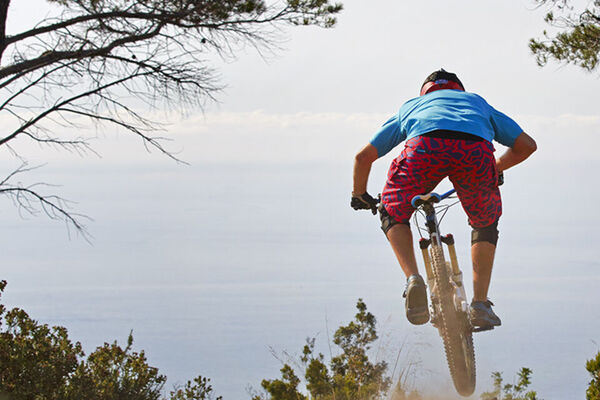
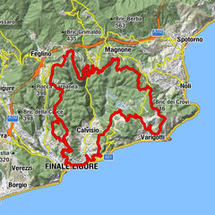
A classic XC Finale loop.
- Sværhedsgrad
-
medium
- Evaluering
-
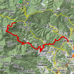
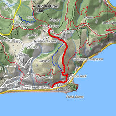
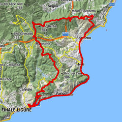
- Rute
-
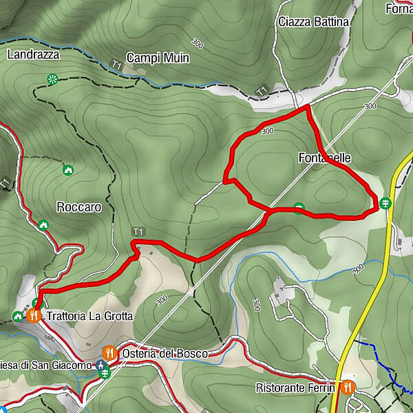
Fontanelle1,5 km
- Bedste sæson
-
janfebmaraprmajjunjulaugsepoktnovdec
- Højeste punkt
- 313 m
- Destination
-
Arma delle Manie
- Højdeprofil
-
 © outdooractive.com

-

-
ForfatterRundvisningen 17 - Anello dell'Arma bruges af outdooractive.com forudsat.
GPS Downloads


Veje
Forsøg
Generel information
Forfriskningsstop
Flere ture i regionerne
-
Golfo dell'isola
171
-
Savona
40