© A. Lamoureux

© A. Lamoureux

© A. Lamoureux

© A. Lamoureux

© Sébastien Gaudard

© Mairie des Ponts de Cé
- Kort beskrivelse
-
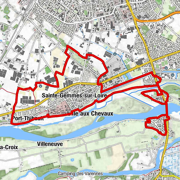
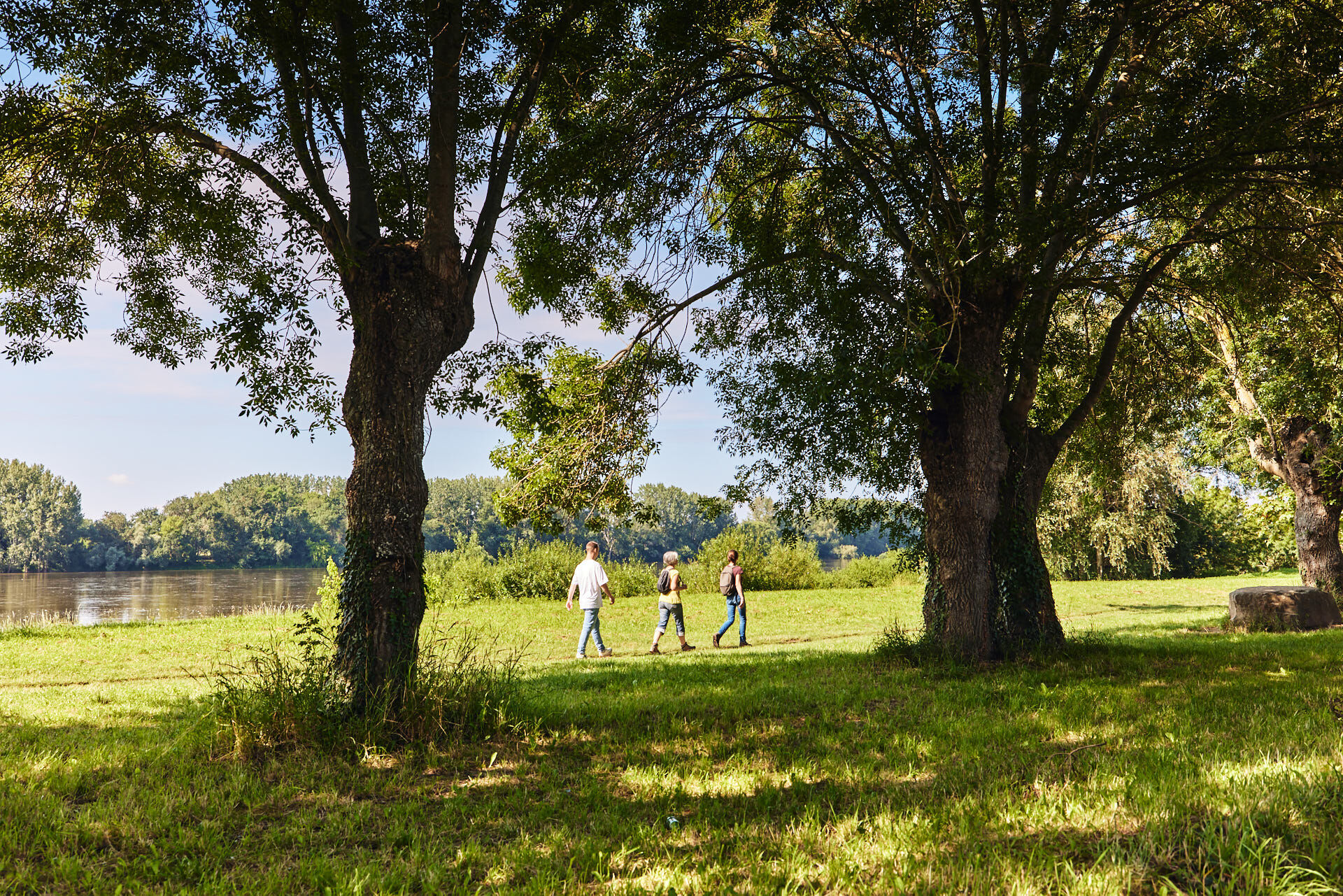
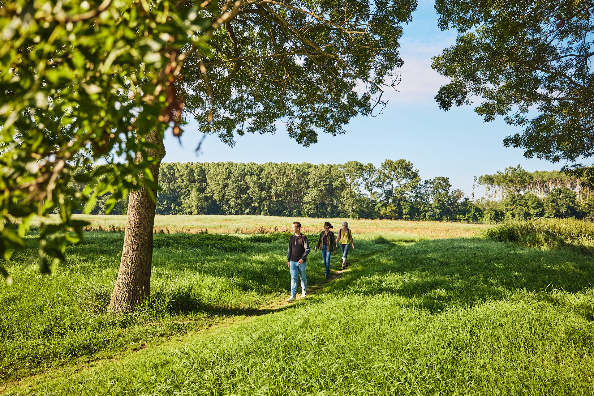
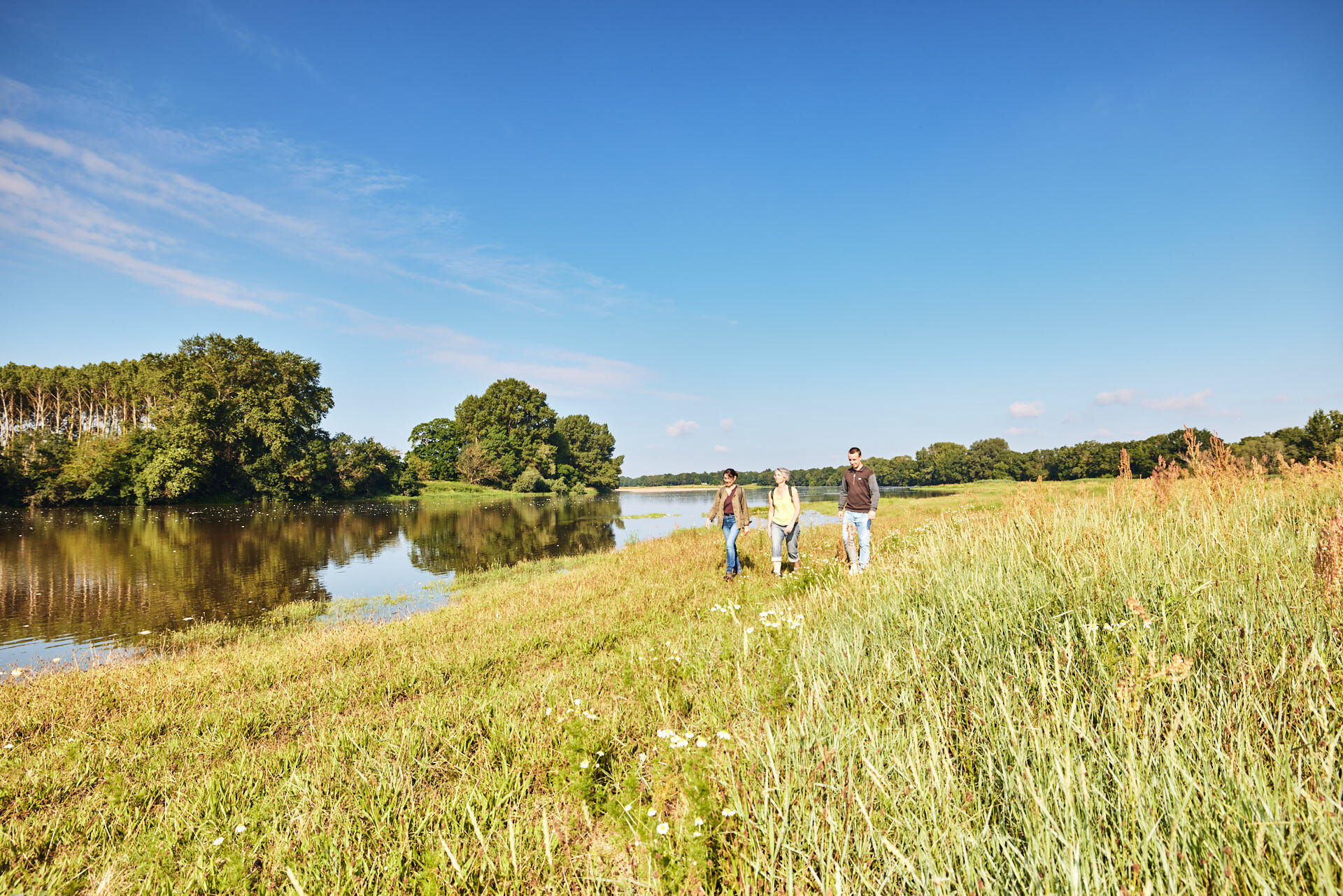
This path crosses two very different towns that run alongside the Loire river.
- Sværhedsgrad
-
tung
- Evaluering
-
- Rute
-
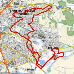
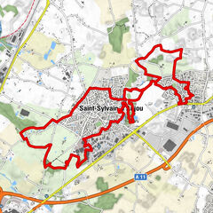
Le Pré Seigneur0,2 kmSainte-Gemmes-sur-Loire0,6 kmÉglise Sainte-Gemmes0,8 kmPort-Thibault2,3 kmLe Clos des Vignes2,6 kmGuinguette de Port-Thibault2,8 kmLa Roche Morna2,9 kmLe Noël3,0 kmPetites Roches3,1 kmLes Noels3,1 kmLa Gaillardière7,6 kmLe San Marco11,2 kmLes Ponts-de-Cé11,7 kmPizza Fresca12,5 kmLa Filerie13,0 kmÉglise Saint-Maurille13,3 kmToboggan aquatique16,4 km
- Bedste sæson
-
janfebmaraprmajjunjulaugsepoktnovdec
- Højeste punkt
- 38 m
- Destination
-
Sainte-Gemmes-sur-Loire
- Højdeprofil
-
 © outdooractive.com


-

-
ForfatterRundvisningen The Loire and the horticultural fields bruges af outdooractive.com forudsat.
GPS Downloads


Generel information
Kulturel/Historisk
Flora
Lovende