© OTIRB

- Kort beskrivelse
-
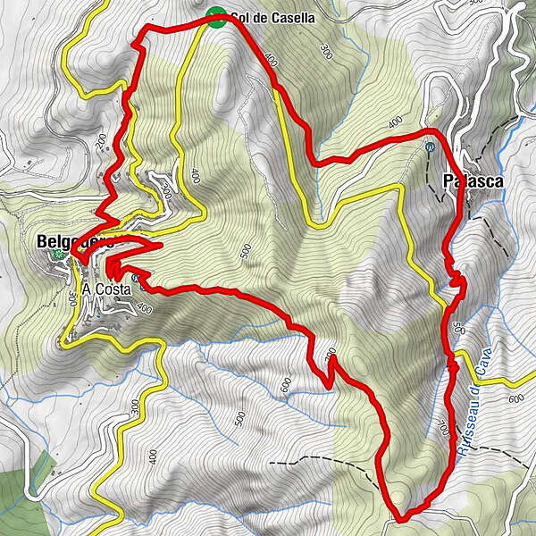
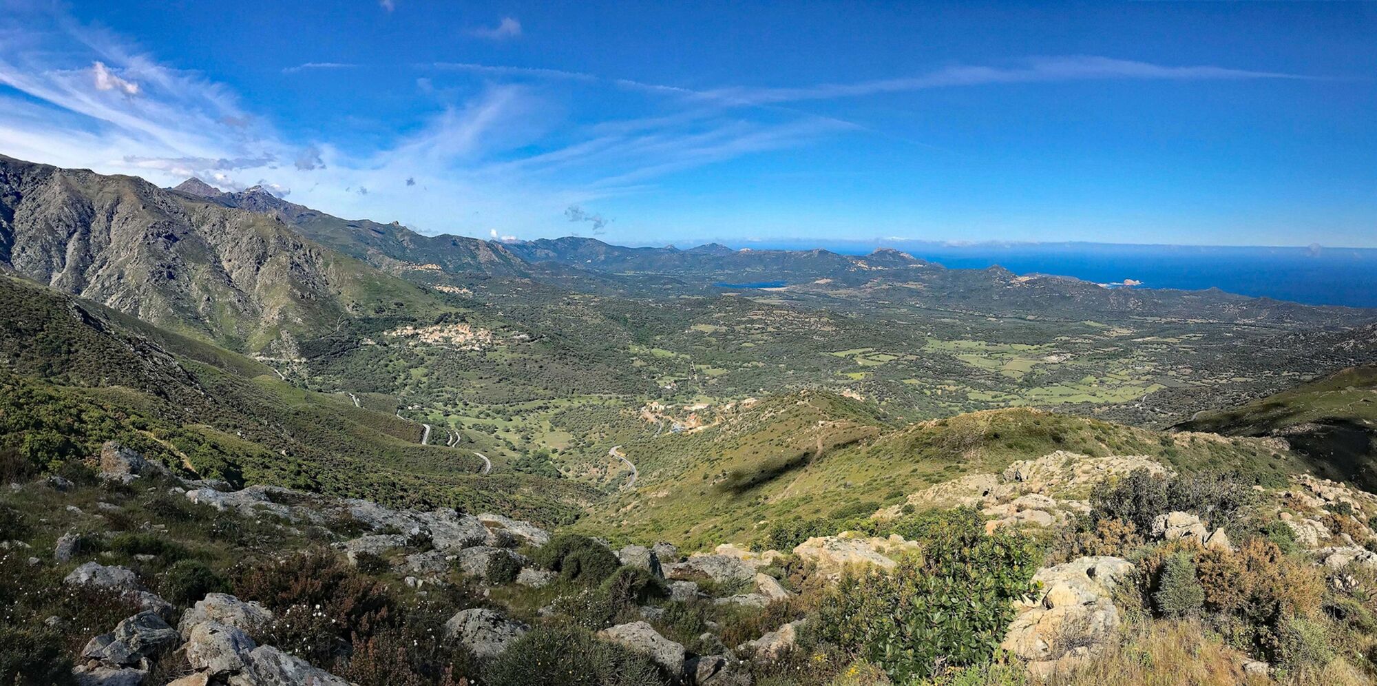
Departing from Belgodère, hiking loop towards the ridges dominating the Regino valley, passing through Palasca on the old inter-valley communication paths
- Sværhedsgrad
-
tung
- Evaluering
-
- Rute
-
BelgodèreÉglise Saint-Thomas0,0 kmChez Dumé1,0 kmCol de Casella2,1 kmChapelle San Sebastianu3,8 kmPalasca4,1 kmBelgodère10,8 kmÉglise Saint-Thomas10,8 km
- Bedste sæson
-
janfebmaraprmajjunjulaugsepoktnovdec
- Højeste punkt
- 806 m
- Destination
-
Belgodère
- Højdeprofil
-
 © outdooractive.com
- Forfatter
-
Rundvisningen Rando 16 : Boucle de Sant'Antone bruges af outdooractive.com forudsat.
GPS Downloads


Flere ture i regionerne
-
Haute-Corse
173
-
Île-Rousse-Balagne
97