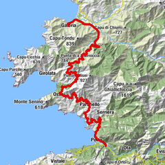
From the Mediterranean mountain landscape to the coastal town of Galéria


© iStock.com - GrigoryLugovoy

© ATC - Sylvain Alessandri

© ATC - Sylvain Alessandri

© ATC - Sylvain Alessandri

© ATC - Sylvain Alessandri

- Kort beskrivelse
-
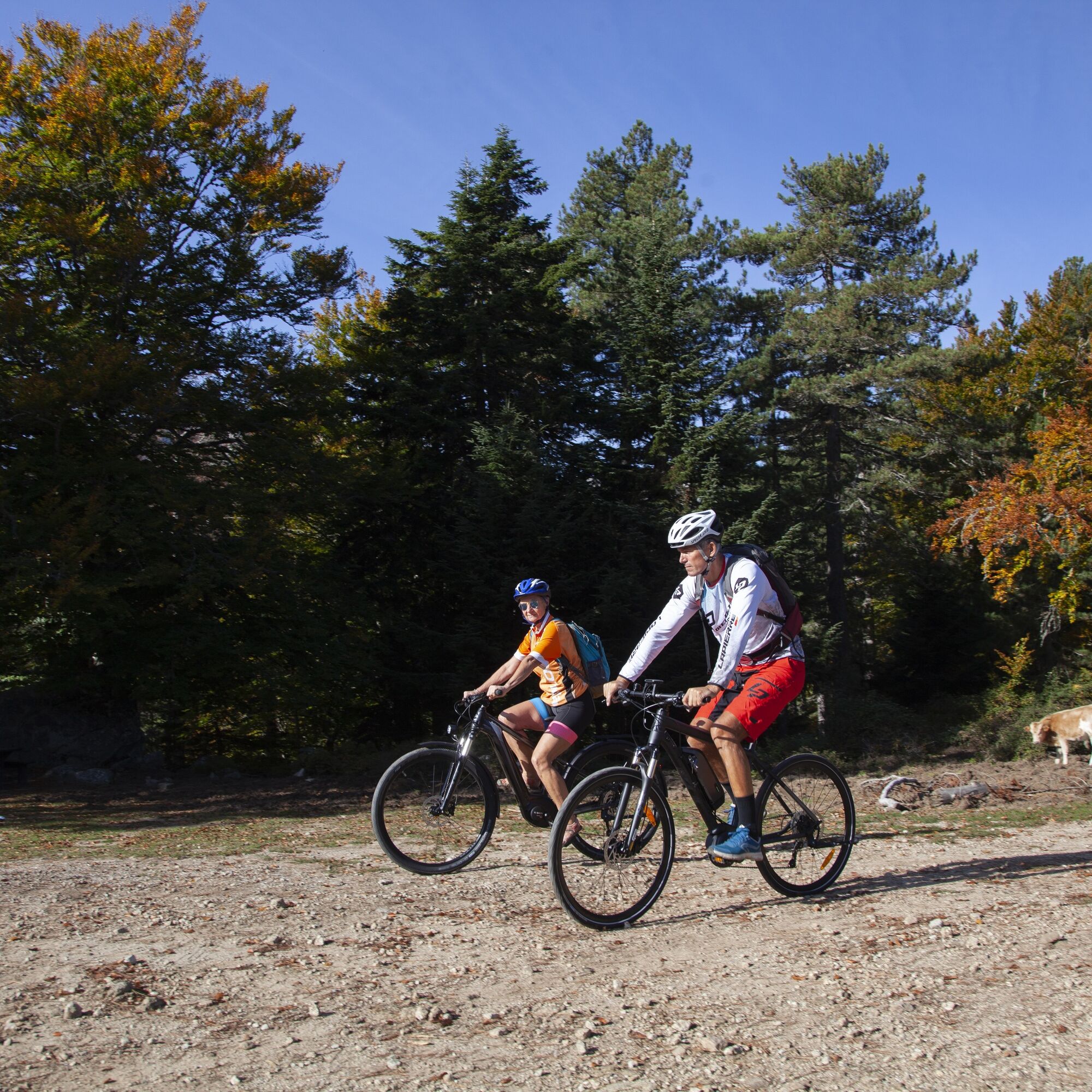
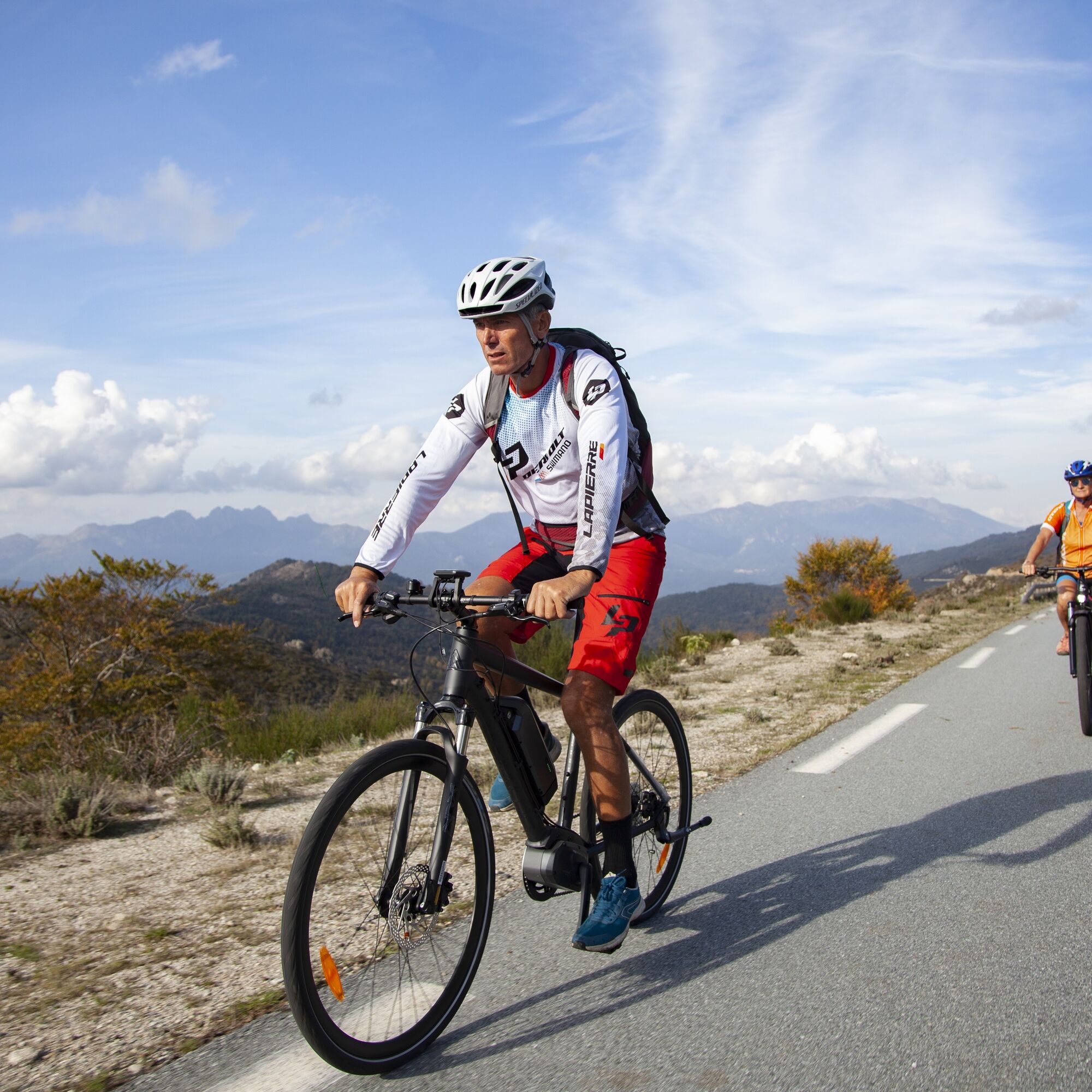
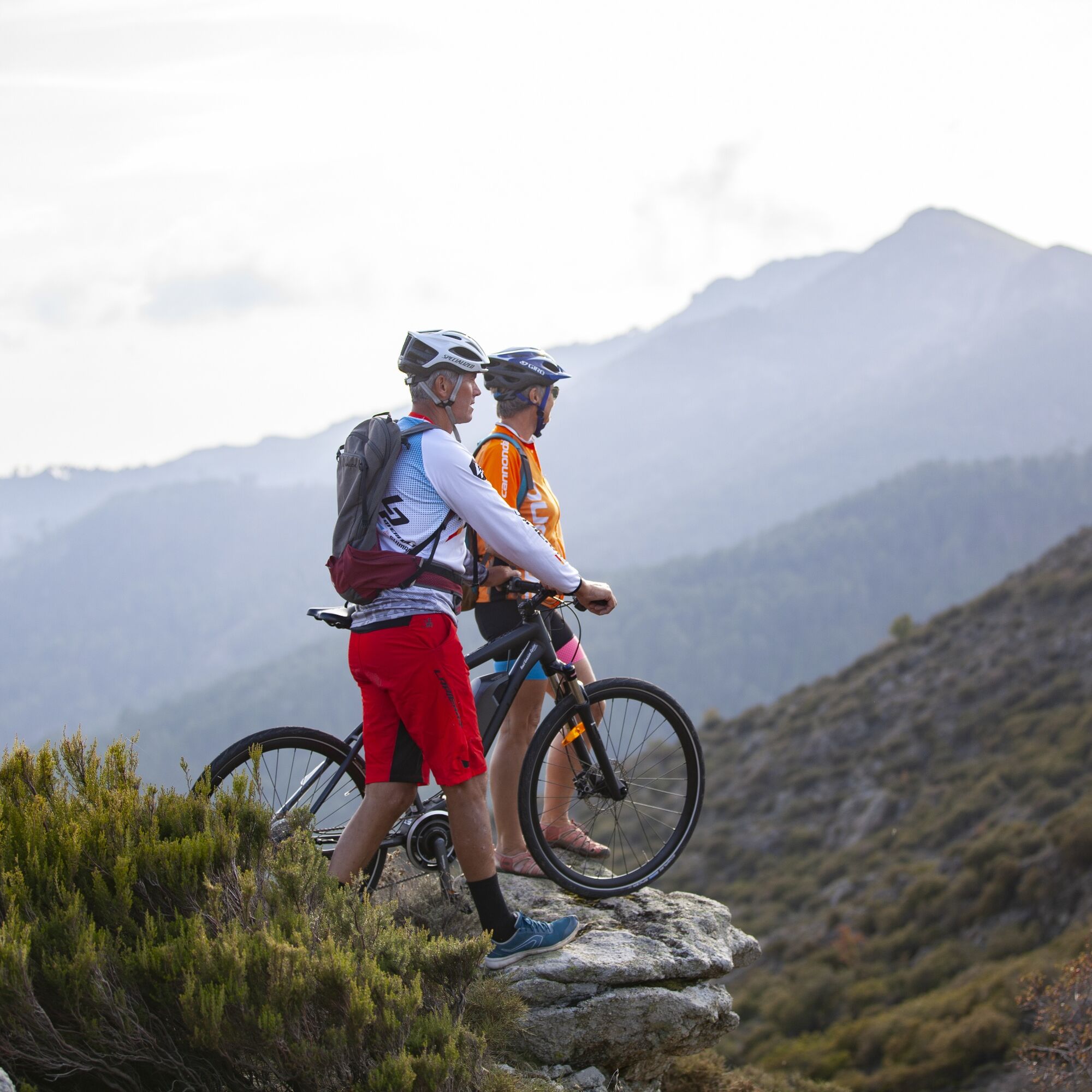
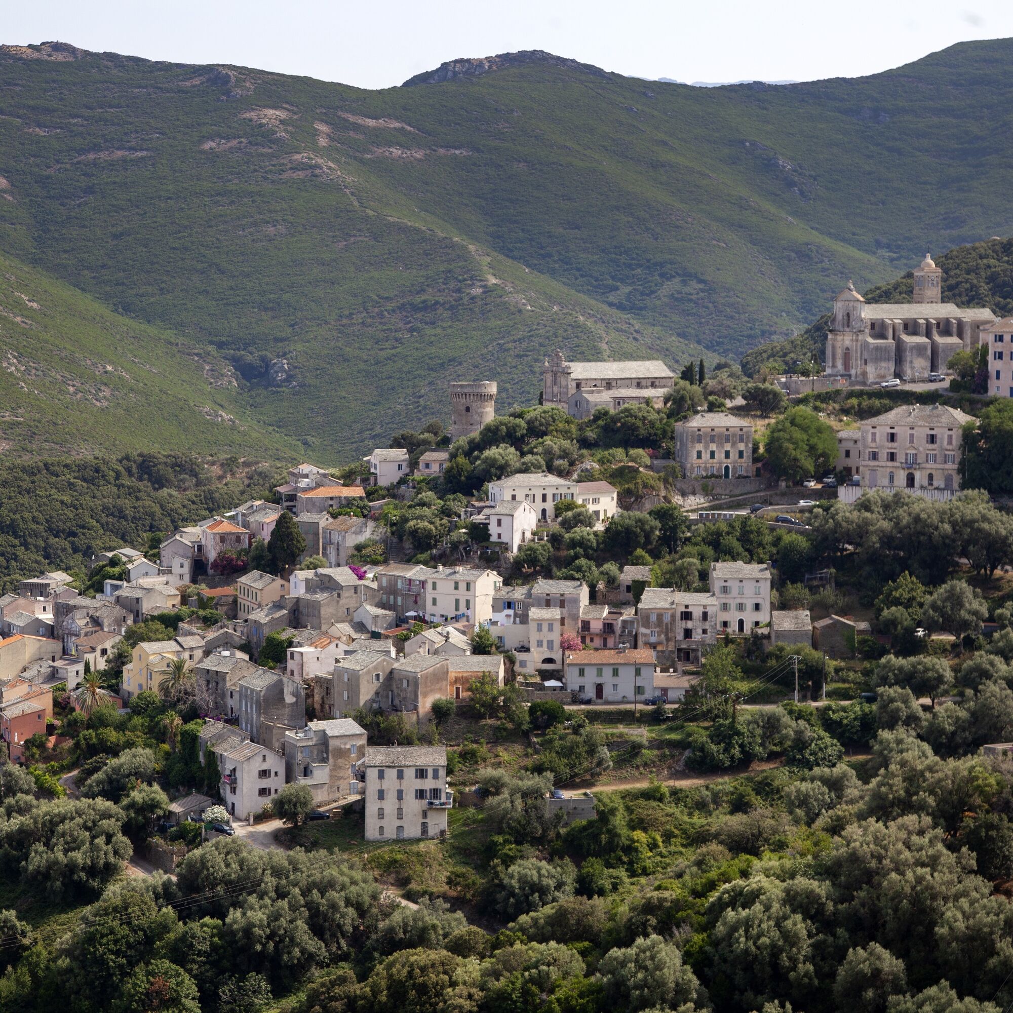
From the mountain landscape in the centre of the French island, the tour leads along the GT 20 long-distance cycle path to the sea and the quiet coastal town of Galéria.
- Sværhedsgrad
-
medium
- Evaluering
-
- Rute
-
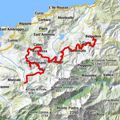
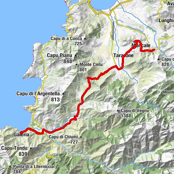
Église Saint-Blaise0,2 kmCalenzana0,2 kmÉglise Saint-Roch2,0 kmMoncale2,0 kmTarazone7,3 kmFigarella9,0 kmSuare10,0 kmL'Artigiana29,5 kmGaléria30,6 km
- Bedste sæson
-
janfebmaraprmajjunjulaugsepoktnovdec
- Højeste punkt
- 429 m
- Destination
-
Galéria
- Højdeprofil
-
 © outdooractive.com

- Forfatter
-
Rundvisningen From the Mediterranean mountain landscape to the coastal town of Galéria bruges af outdooractive.com forudsat.
GPS Downloads


Generel information
Forfriskningsstop
Kulturel/Historisk
Flora
Lovende
Flere ture i regionerne