© OTIRB

© OTIRB

- Kort beskrivelse
-
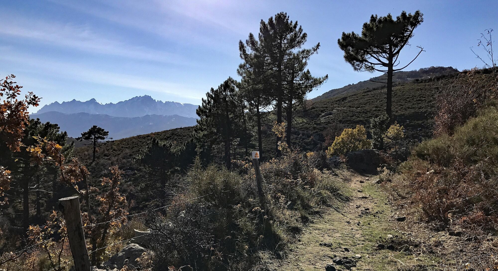
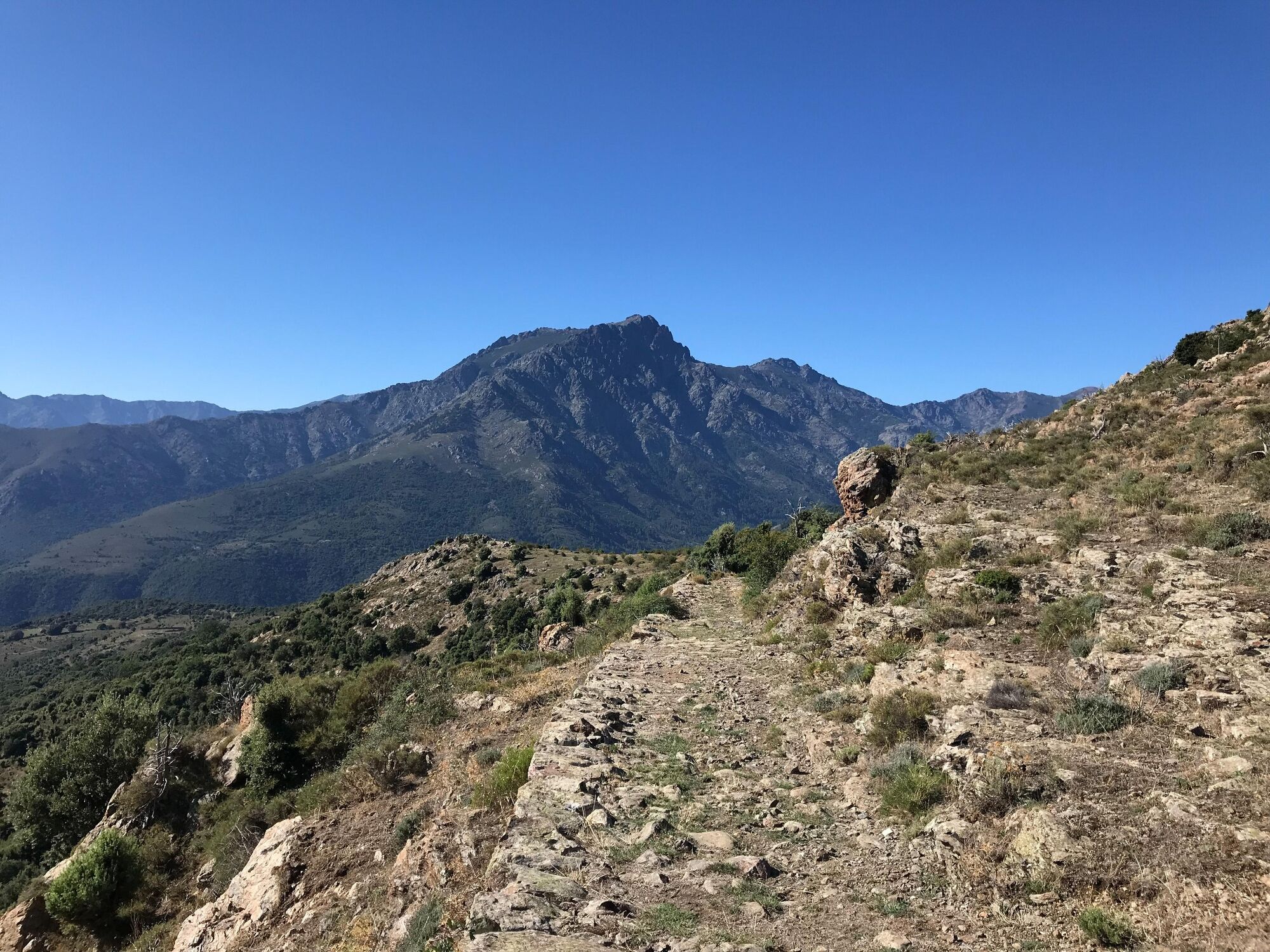
A wilderness trail to the highest point of the Regional Nature Park of Corsica, overlooking the sea from a height of 1,100 metres.
- Sværhedsgrad
-
tung
- Evaluering
-
- Rute
-
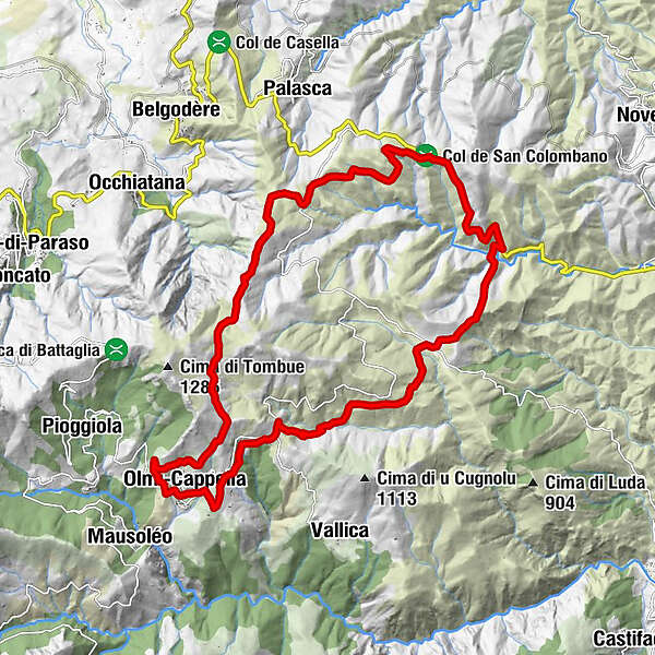
Église San NiculauChapelle Sant'Antone AbbateL'OsteriaOlmi0,1 kmCapella0,3 kmOlmi-Cappella0,5 kmLecciole24,0 kmAcquilacce24,1 kmOlmi-Cappella25,2 kmOlmi25,3 kmL'Osteria25,4 kmChapelle Sant'Antone Abbate25,4 kmÉglise San Niculau25,4 km
- Bedste sæson
-
janfebmaraprmajjunjulaugsepoktnovdec
- Højeste punkt
- 1.093 m
- Destination
-
Olmi-Cappella
- Højdeprofil
-
 © outdooractive.com
- Forfatter
-
Rundvisningen VTT FFC 10 : Maltiola bruges af outdooractive.com forudsat.