© Nassfeld - Pressegger See - Petra Franz, TIB Gitschtal

© Nassfeld - Pressegger See - Petra Franz, TIB Gitschtal

© Nassfeld - Pressegger See - Petra Franz, TIB Gitschtal

© Nassfeld - Pressegger See - Petra Franz, TIB Gitschtal

© Nassfeld - Pressegger See - Petra Franz, TIB Gitschtal

© Nassfeld - Pressegger See - Petra Franz, TIB Gitschtal

© Nassfeld - Pressegger See - Petra Franz, TIB Gitschtal

© Nassfeld - Pressegger See - Petra Franz, TIB Gitschtal

© Nassfeld - Pressegger See - Petra Franz, TIB Gitschtal

© Nassfeld - Pressegger See - Petra Franz, TIB Gitschtal

- Kort beskrivelse
-
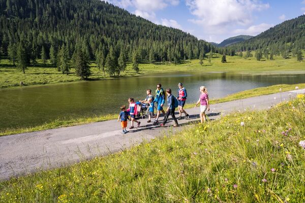
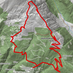
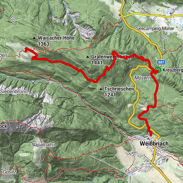
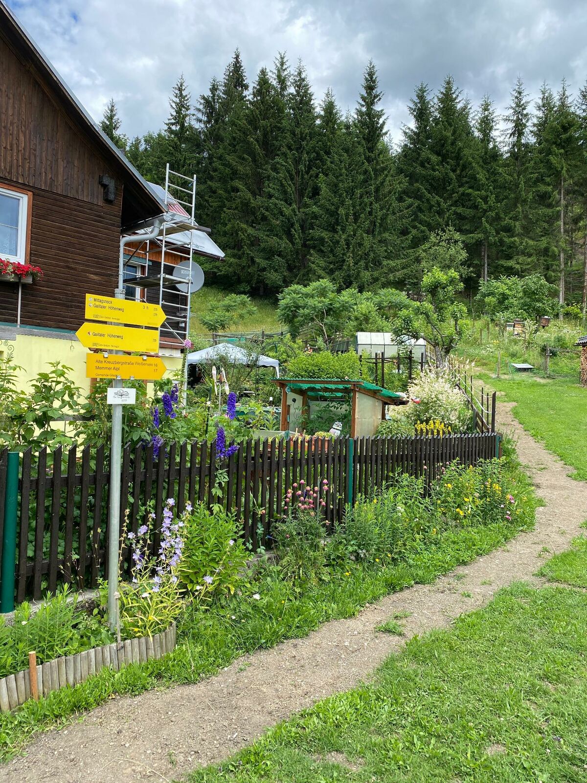
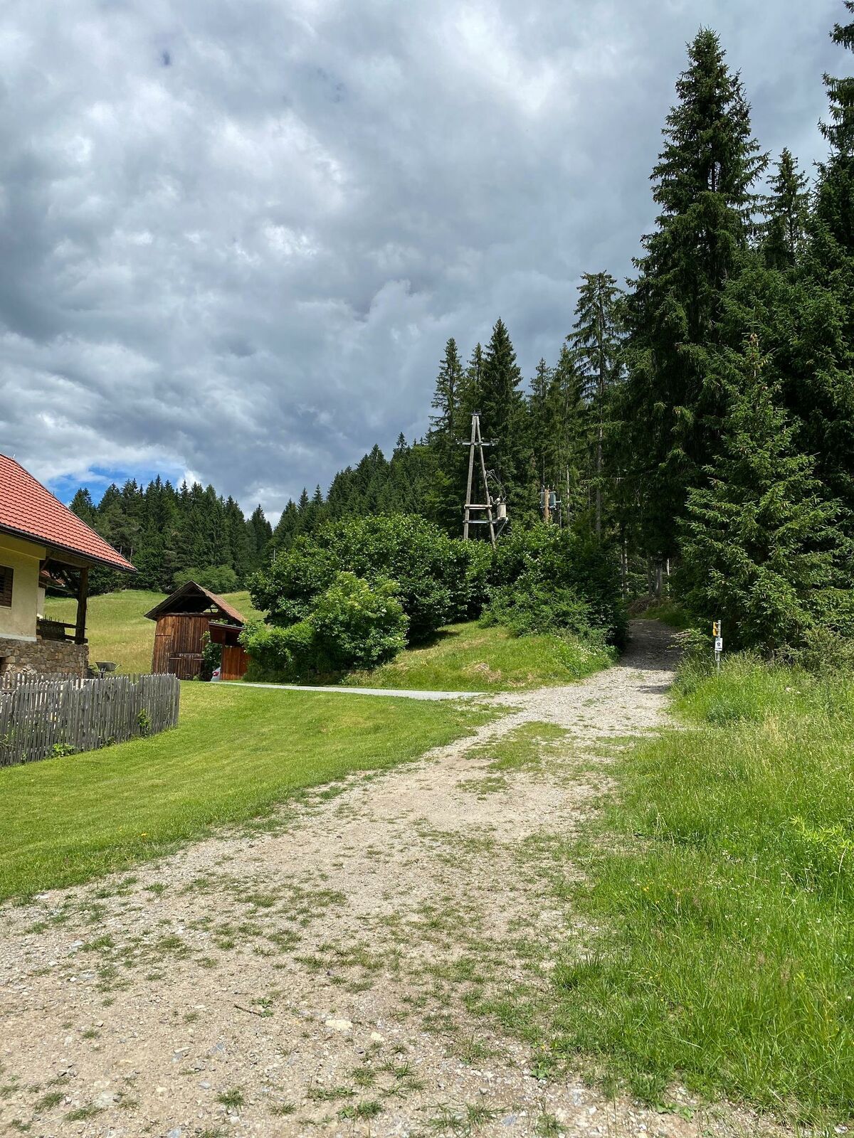
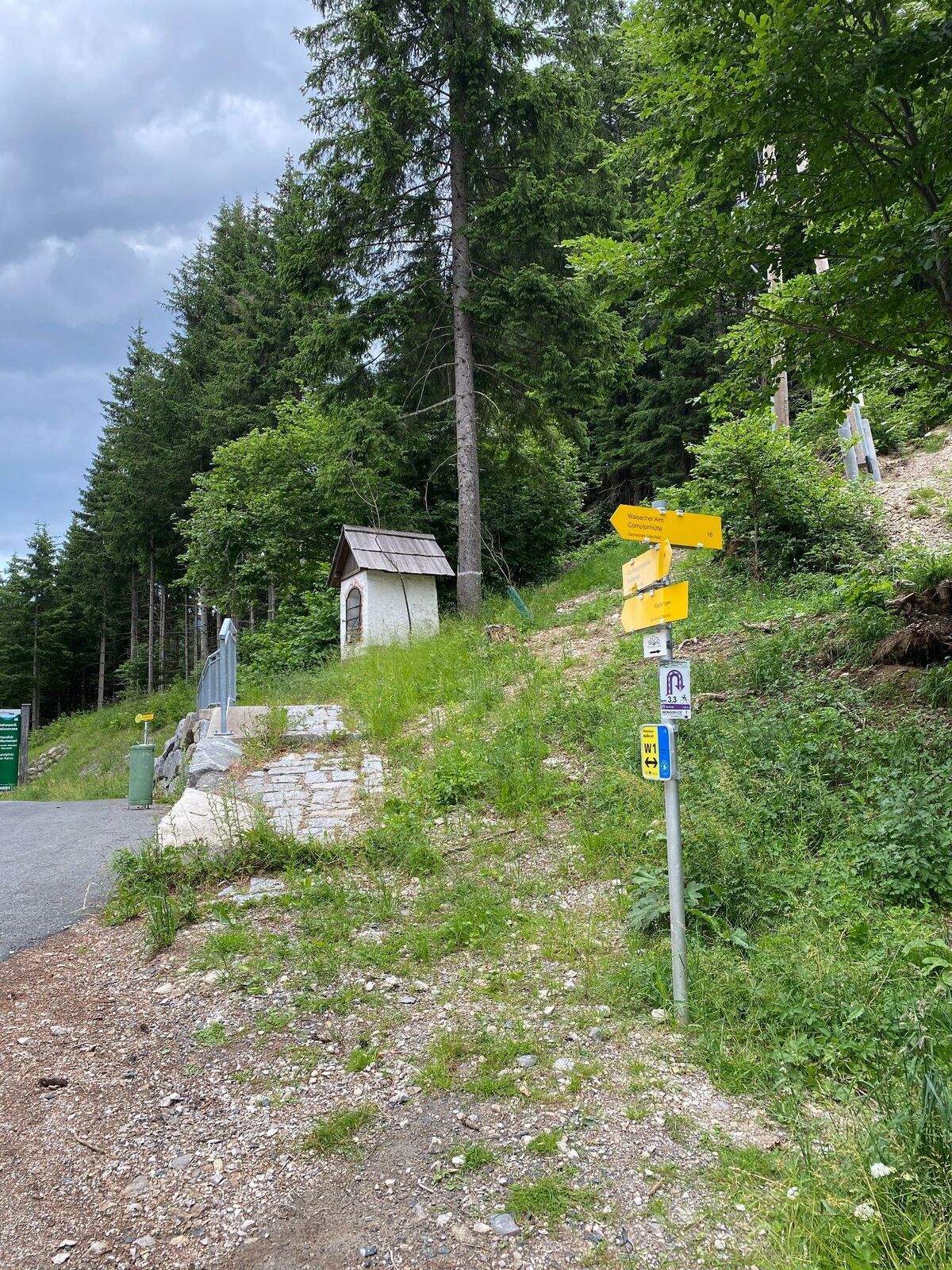
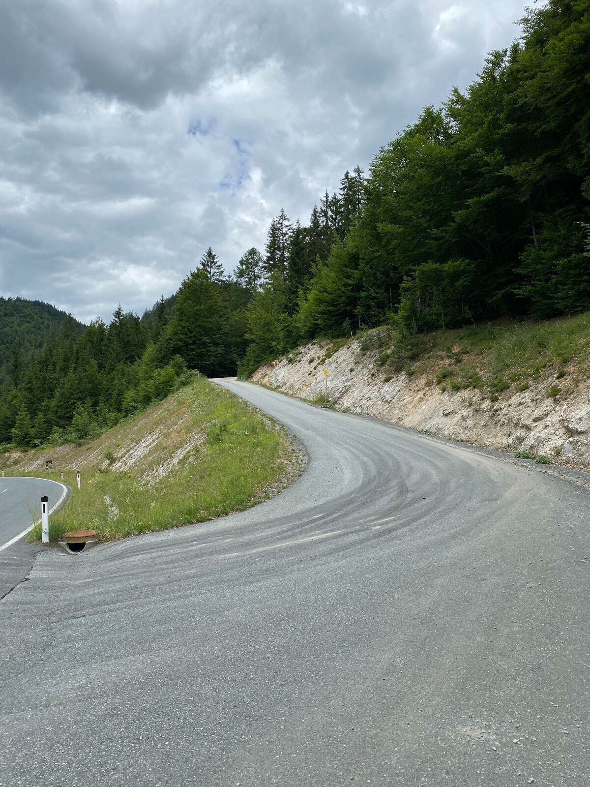
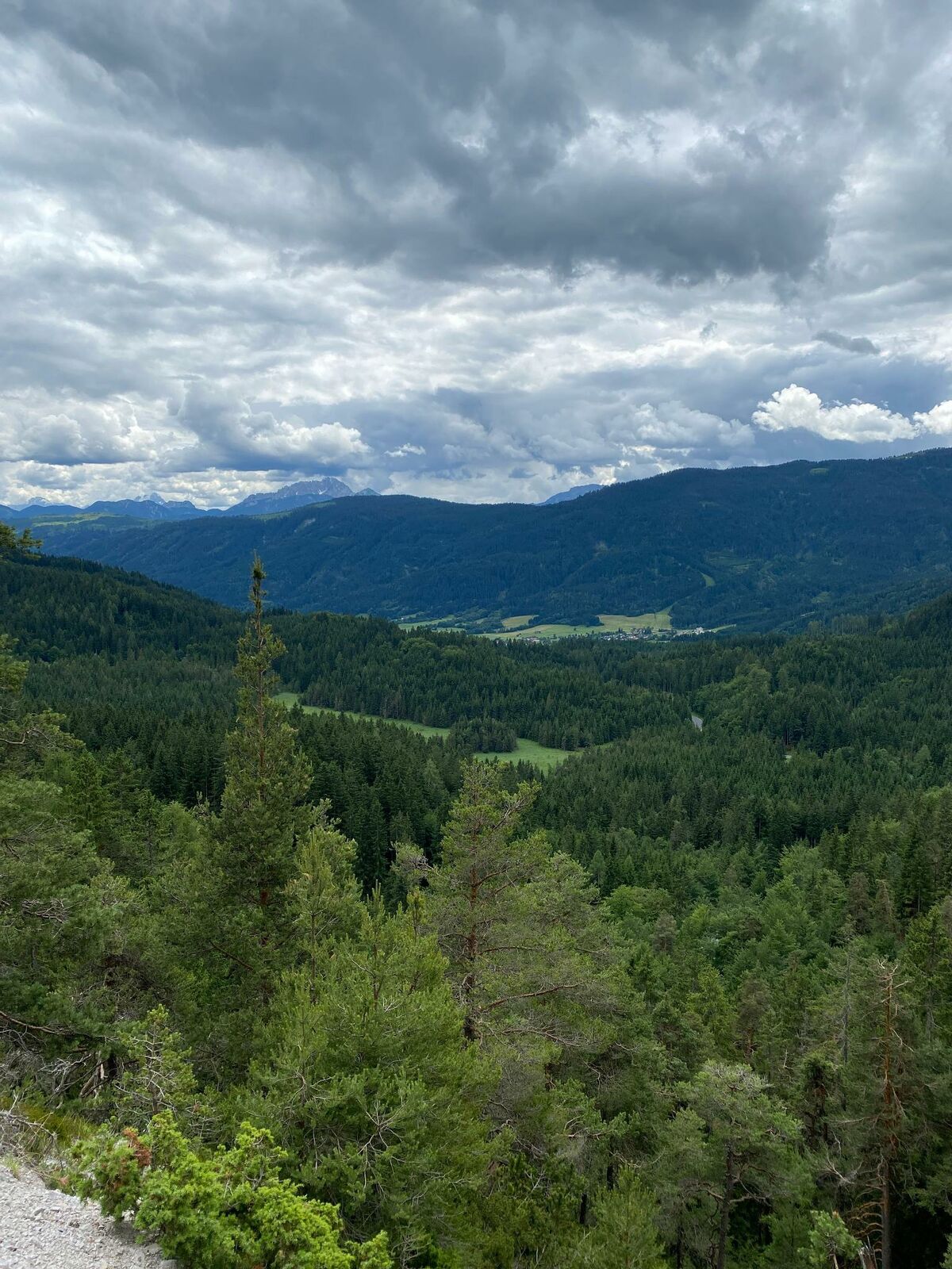
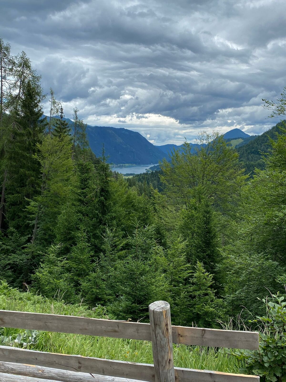
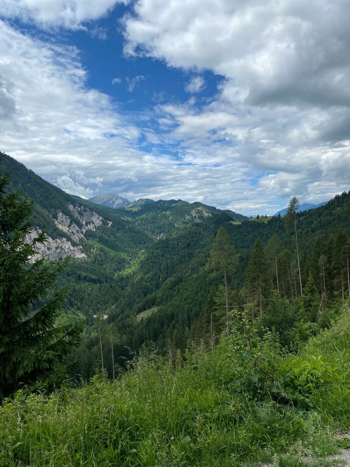
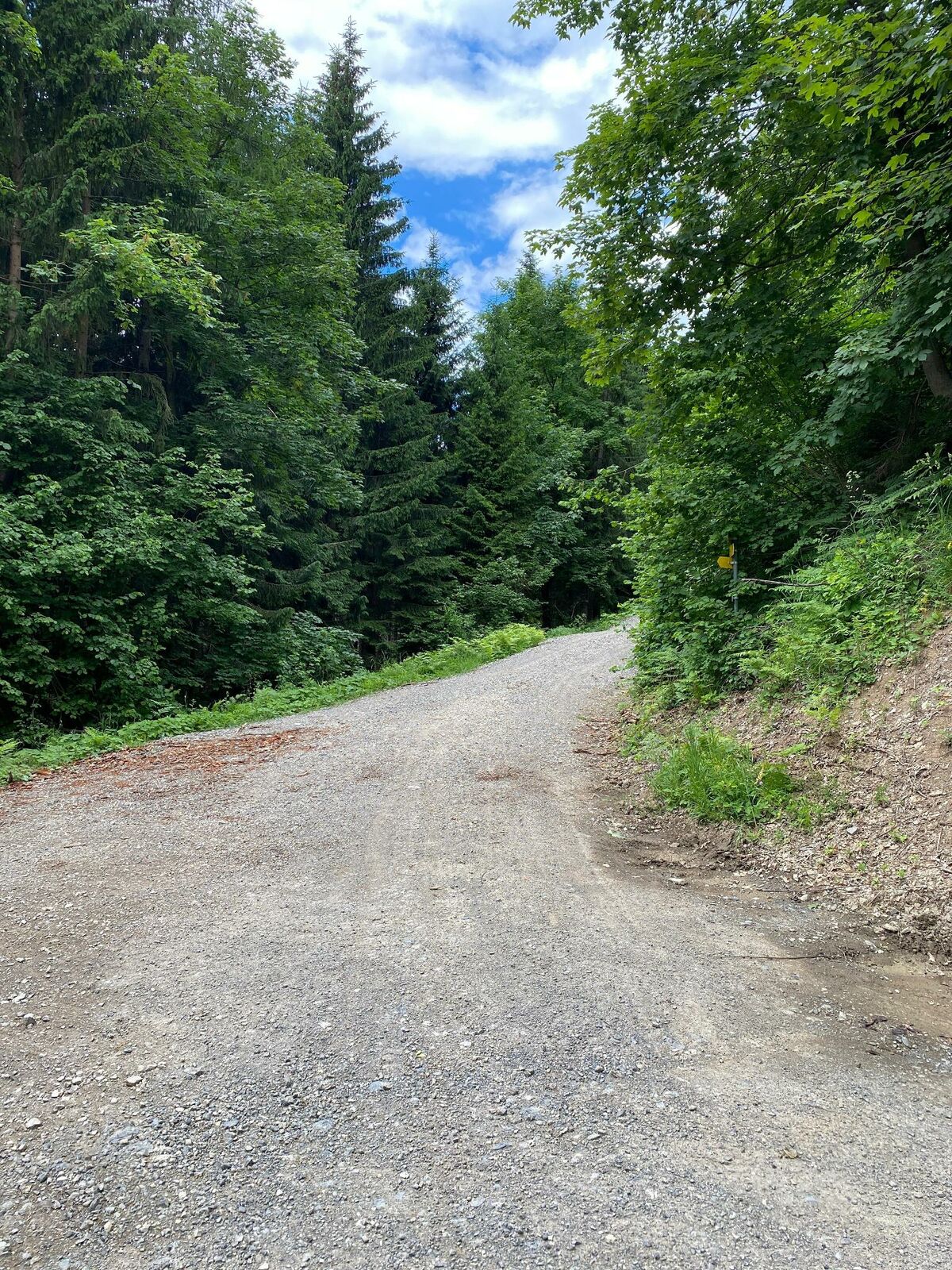
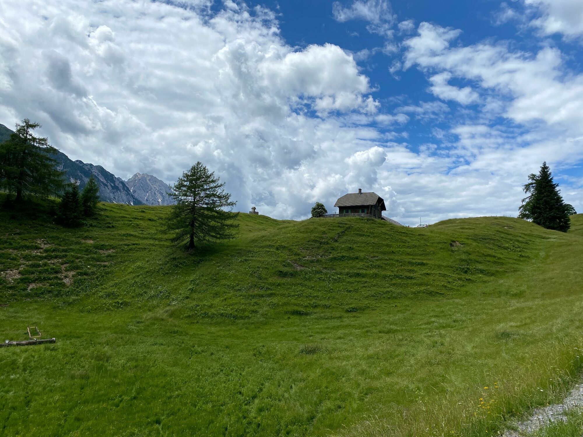
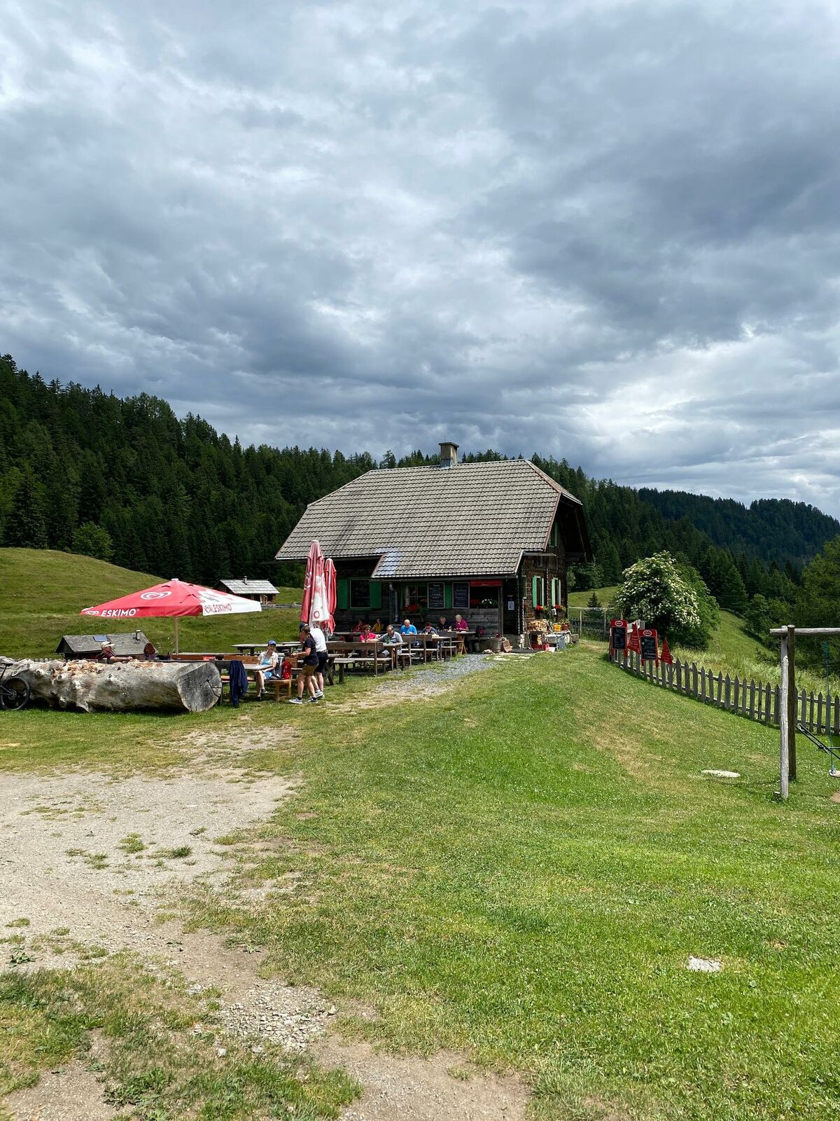
Von Weißbriach führt die Wanderung über die alte Kreuzbergstraße und den Plattenweg zur Waisacher Alm - Weg Nr. 16 & 10/10a
- Sværhedsgrad
-
medium
- Evaluering
-
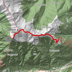
- Rute
-
WeißbriachMosmüller1,0 kmKreuzberg2,6 kmWaisacher Alm8,4 km
- Bedste sæson
-
janfebmaraprmajjunjulaugsepoktnovdec
- Højeste punkt
- 1.263 m
- Destination
-
Waisacher Alm
- Højdeprofil
-


- Forfatter
-
Rundvisningen Alte Kreuzbergstraße bis Waisacher Alm - Weißbriach/Gitschtal bruges af outdooractive.com forudsat.
GPS Downloads


Generel information
Forfriskningsstop
Lovende
Flere ture i regionerne