© Hohe Tauern - die Nationalpark-Region in Kärnten Tourismus GmbH - Nationalpark Region Hohe Tauern Kärnten

© Hohe Tauern - die Nationalpark-Region in Kärnten Tourismus GmbH - Nationalpark Region Hohe Tauern Kärnten

© Hohe Tauern - die Nationalpark-Region in Kärnten Tourismus GmbH - Nationalpark Region Hohe Tauern Kärnten

© Hohe Tauern - die Nationalpark-Region in Kärnten Tourismus GmbH - Nationalpark Region Hohe Tauern Kärnten

© Hohe Tauern - die Nationalpark-Region in Kärnten Tourismus GmbH - Nationalpark Region Hohe Tauern Kärnten

© Hohe Tauern - die Nationalpark-Region in Kärnten Tourismus GmbH - Nationalpark Region Hohe Tauern Kärnten

© Hohe Tauern - die Nationalpark-Region in Kärnten Tourismus GmbH - Nationalpark Region Hohe Tauern Kärnten
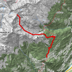
Turnédatoer
6,76km
1.659
- 2.909m
1.235hm
4hm
04:00h

- Kort beskrivelse
-
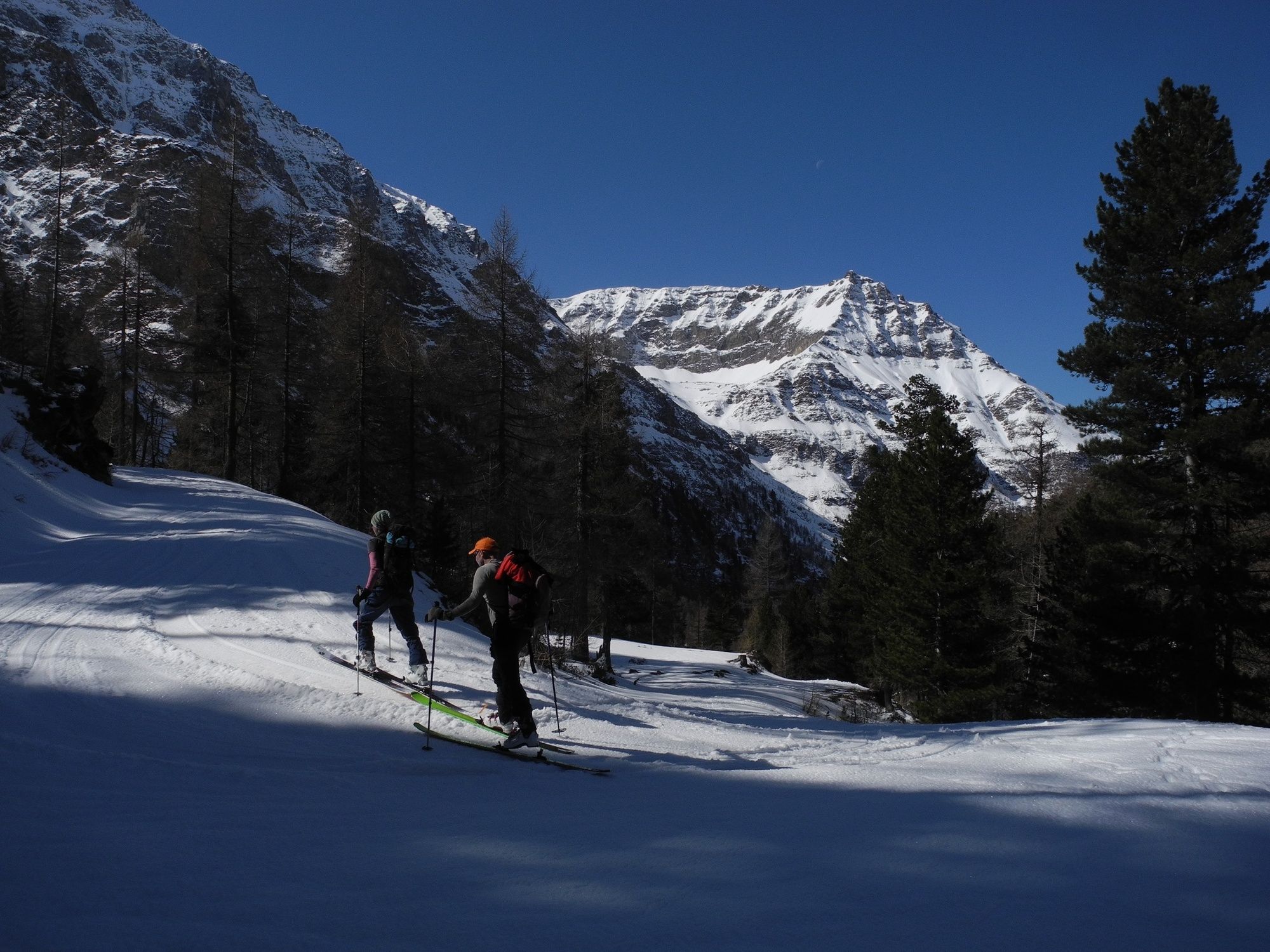
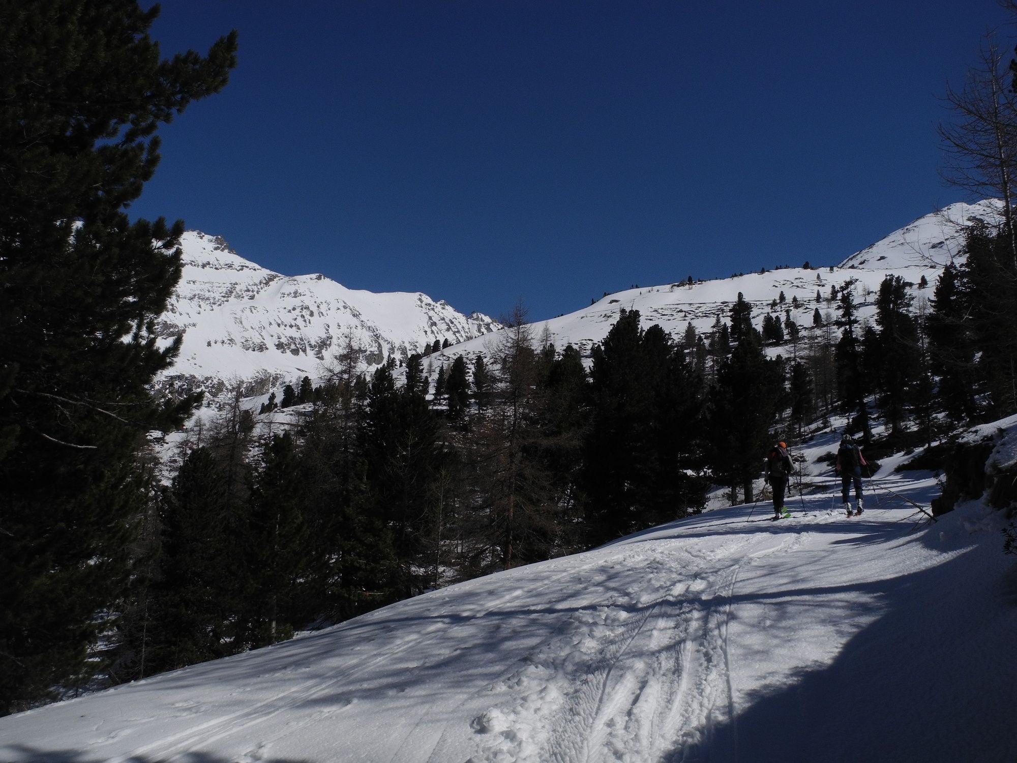
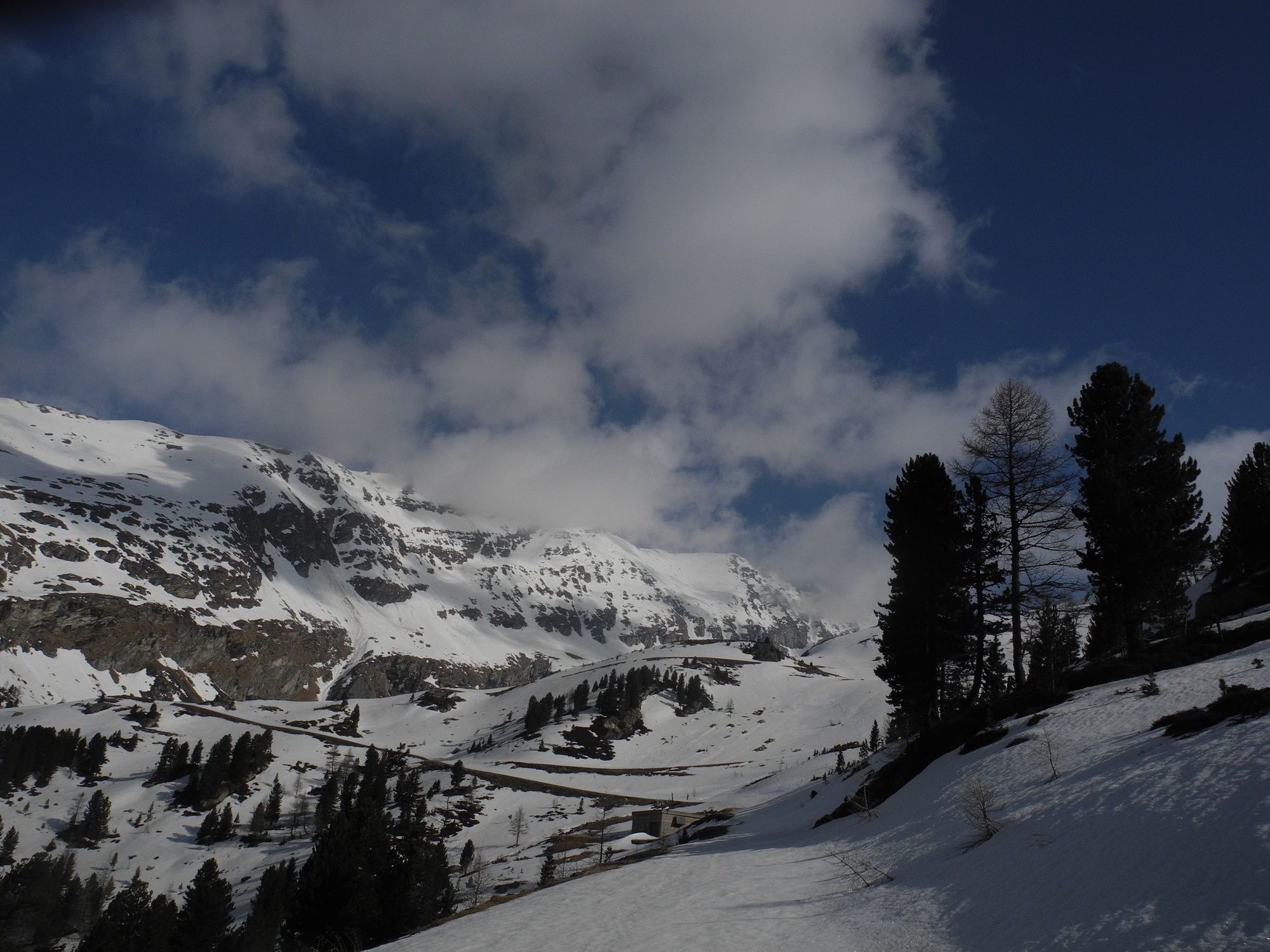
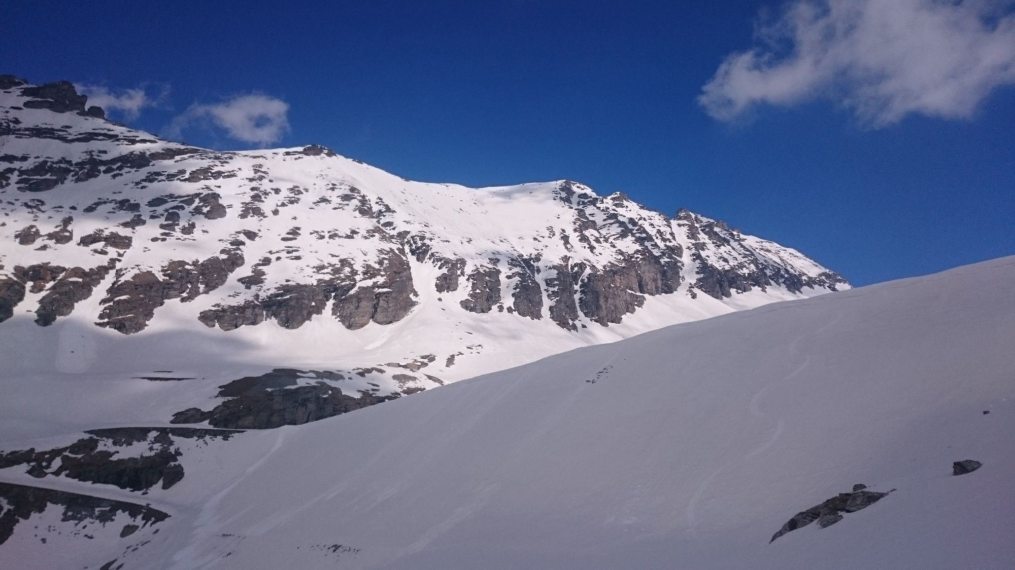
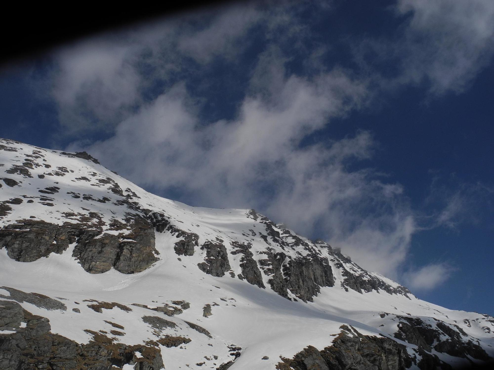
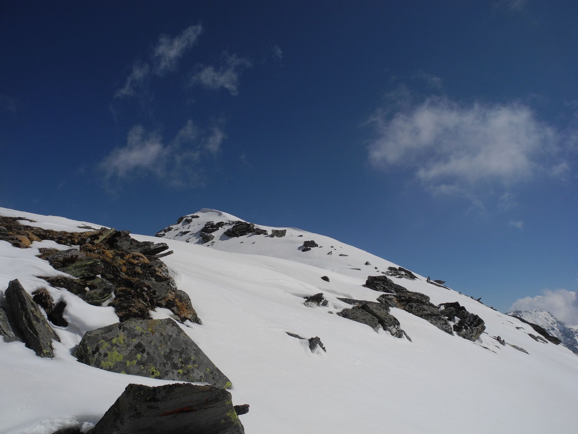
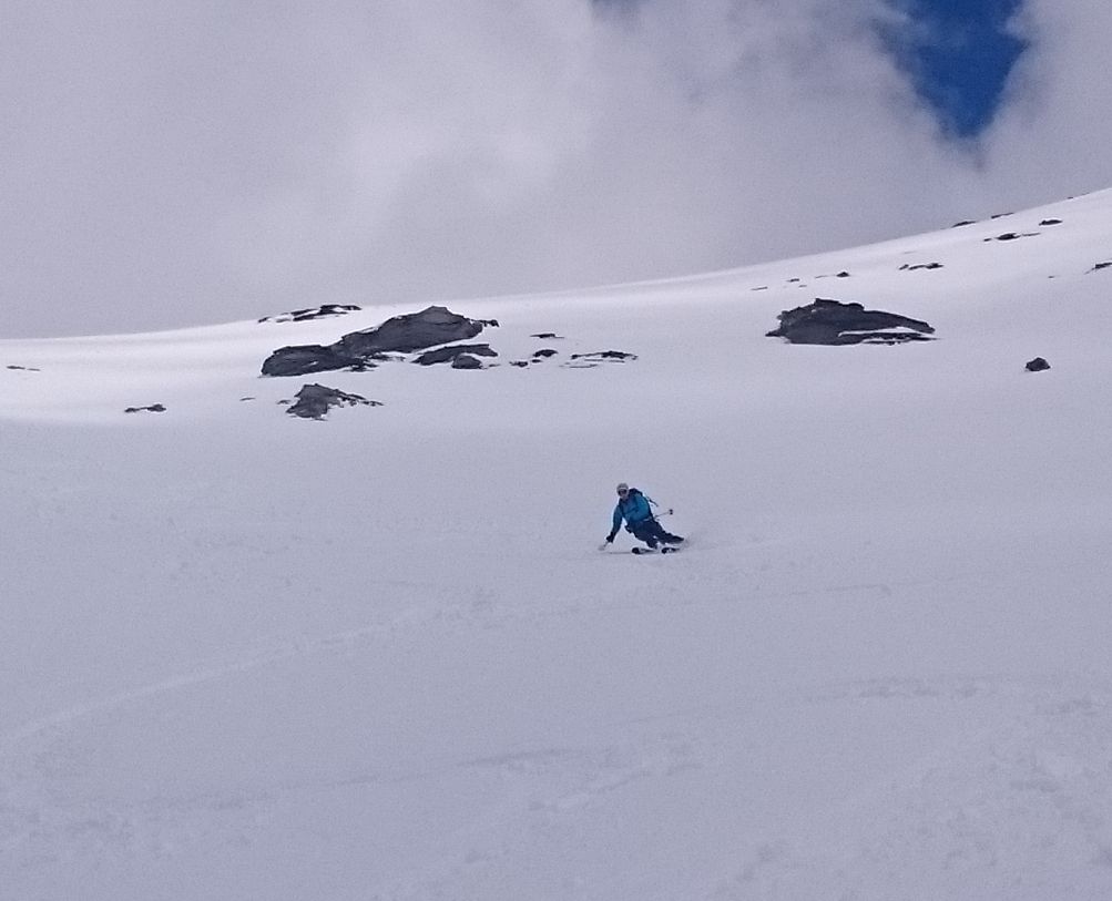
Sehr steile Skitour auf einen kaum bestiegenen Gipfel mit fast perfekten Hängen
- Sværhedsgrad
-
tung
- Evaluering
-
- Bedste sæson
-
augsepoktnovdecjanfebmaraprmajjunjul
- Højeste punkt
- 2.909 m
- Destination
-
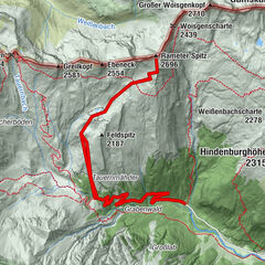
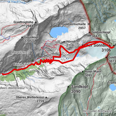
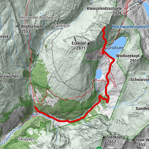
Südliche Zirknitzspitze 2.934 m
- Exposition
- Højdeprofil
-

- Forfatter
-
Rundvisningen Südliche Zirknitzspitze Südost-Flanke bruges af outdooractive.com forudsat.
GPS Downloads


Generel information
Insider-tip
Flere ture i regionerne


")