
- Kort beskrivelse
-
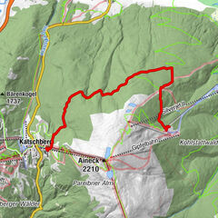
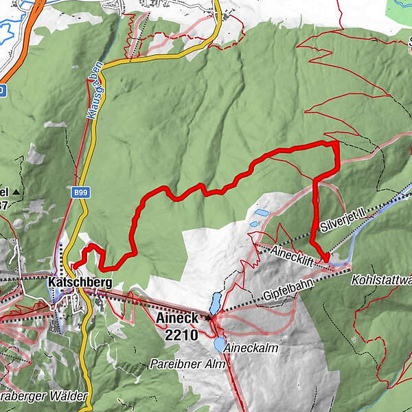
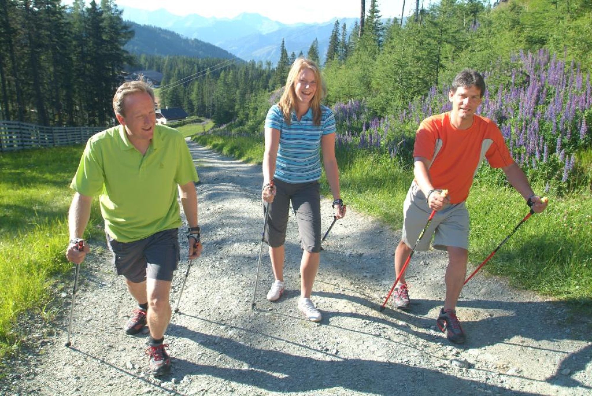
Nordic Walking Tour vom Parkplatz 3 auf der Katschberghöhe zur Branntweiner-/Kösselbacher Alm und wieder retour.
Im Wald, oft mit Aussicht nach St. Michael, sehr ruhig.
- Evaluering
-
- Rute
-
KatschbergBranntweineralm6,8 kmKatschberg13,6 km
- Bedste sæson
-
janfebmaraprmajjunjulaugsepoktnovdec
- Højeste punkt
- 1.808 m
- Højdeprofil
-

- Forfatter
-
Rundvisningen Nordic-Walking-Tour auf die Branntweineralm bruges af outdooractive.com forudsat.
GPS Downloads


Generel information
Forfriskningsstop
Lovende
Flere ture i regionerne