
© Kajak Center Faaker See - Region Villach
© Region Villach - Faaker See - Ossiacher See - Anita Arneitz

© Region Villach - Faaker See - Ossiacher See - Region Villach

© Region Villach - Faaker See - Ossiacher See - Anita Arneitz

© Kajak Center Faaker See - Region Villach

© Region Villach - Faaker See - Ossiacher See - Anita Arneitz
© Region Villach - Faaker See - Ossiacher See - Region Villach
© Region Villach - Faaker See - Ossiacher See - Region Villach


- Kort beskrivelse
-
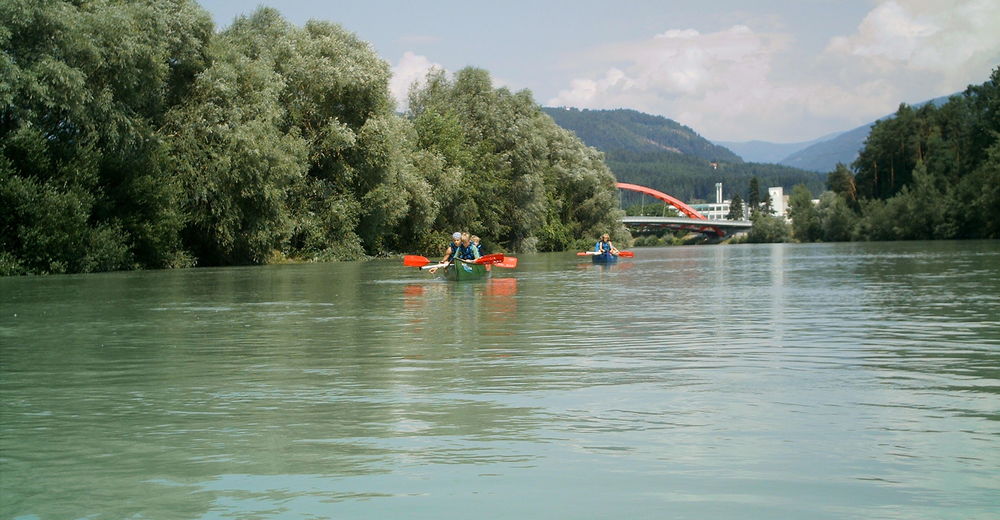
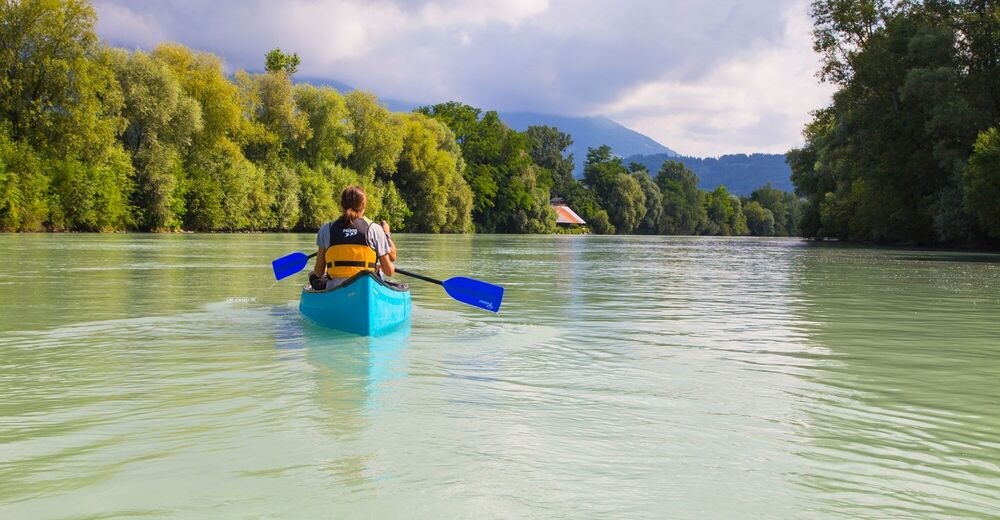
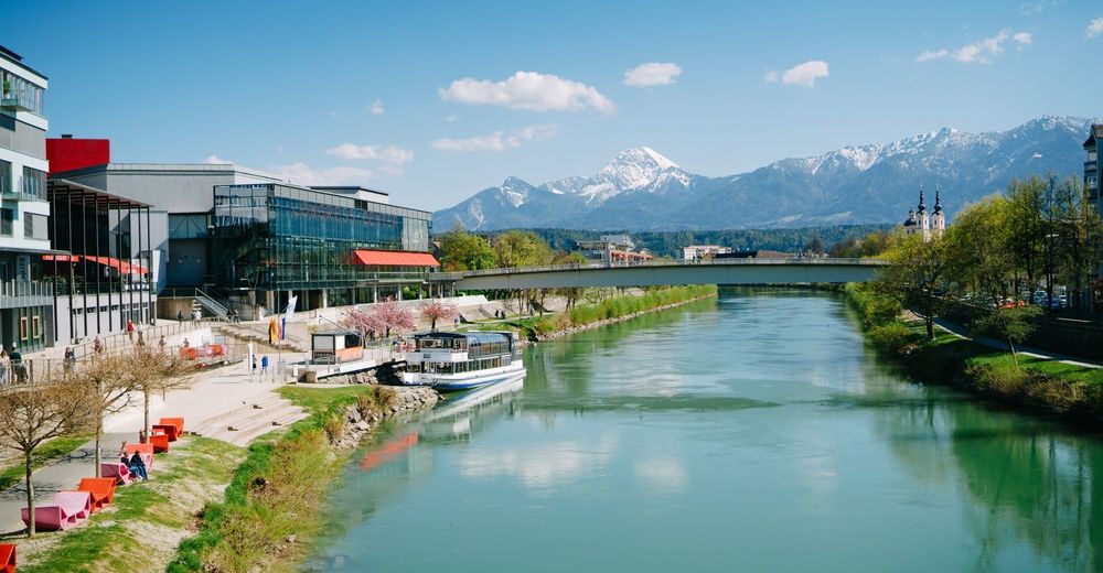
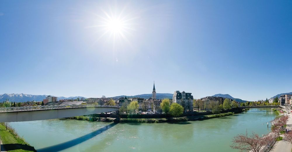
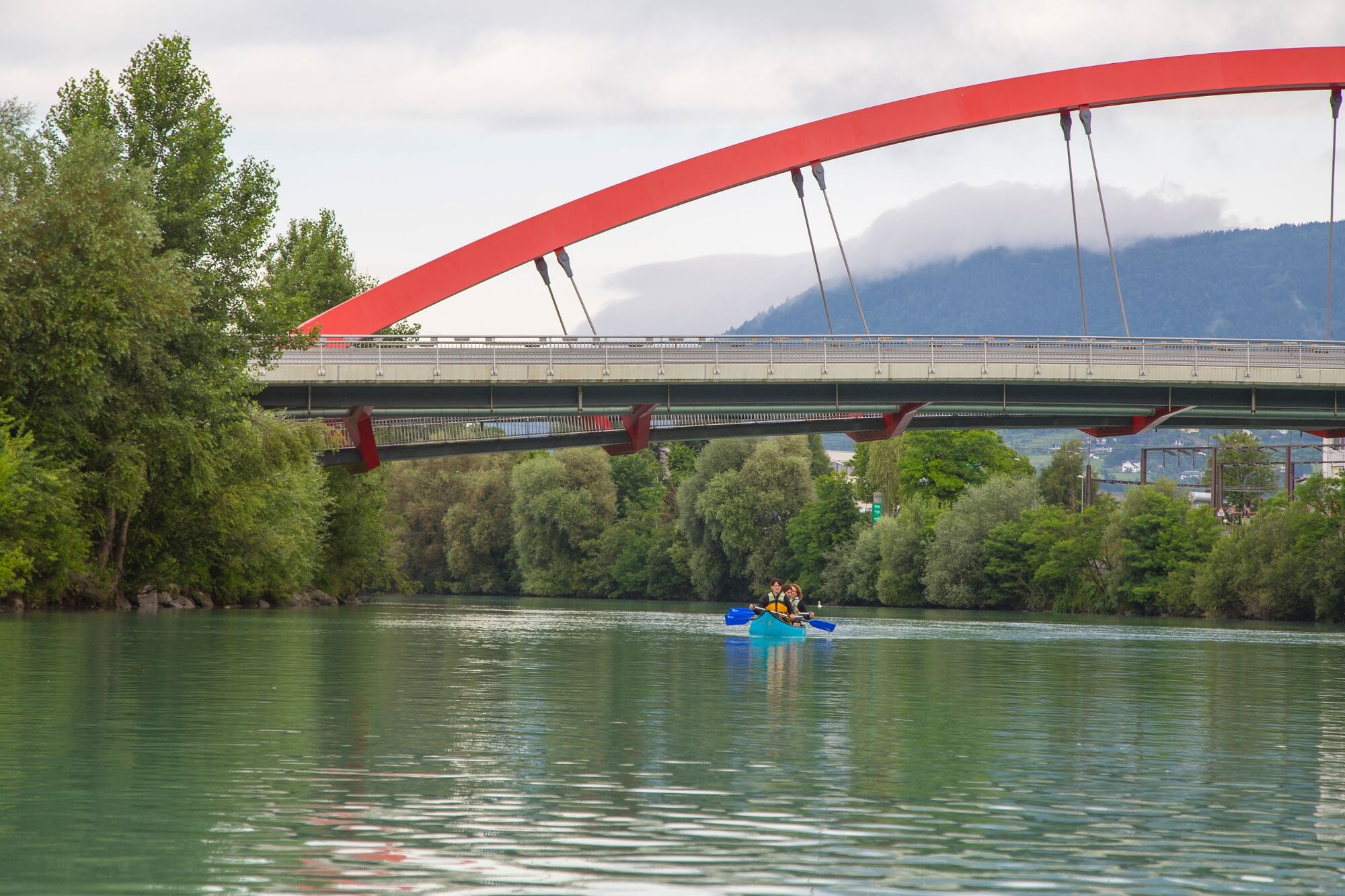
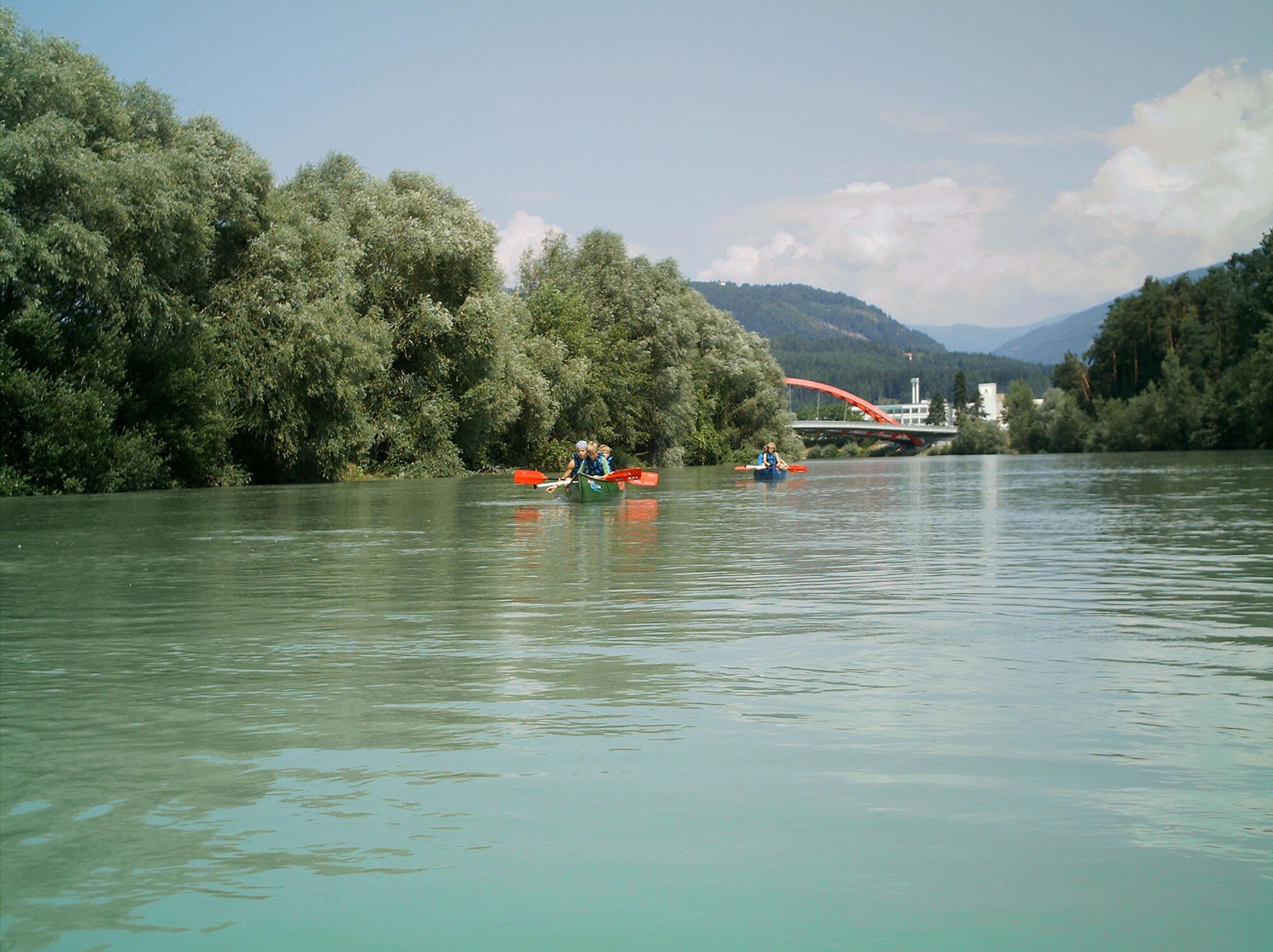
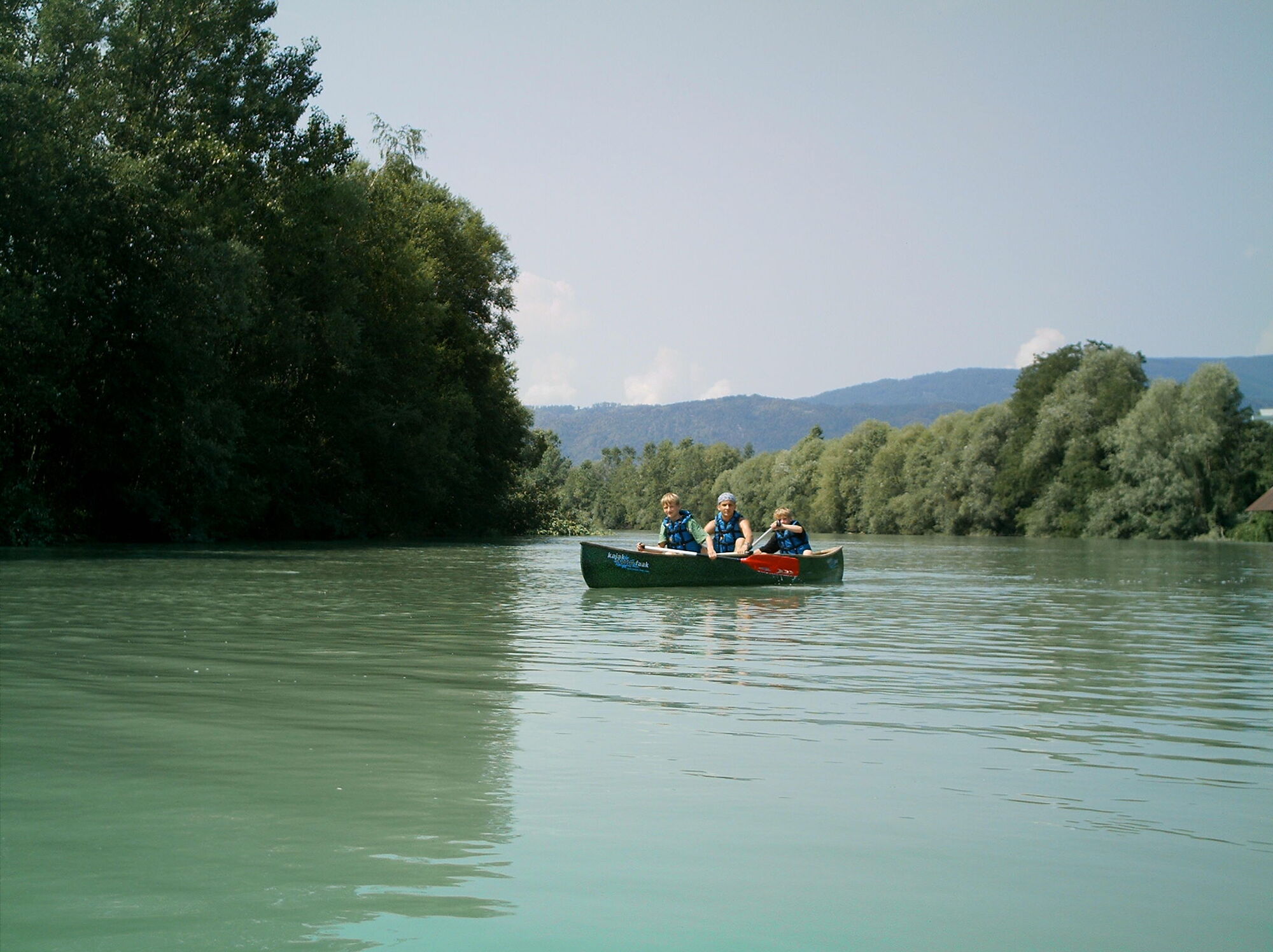
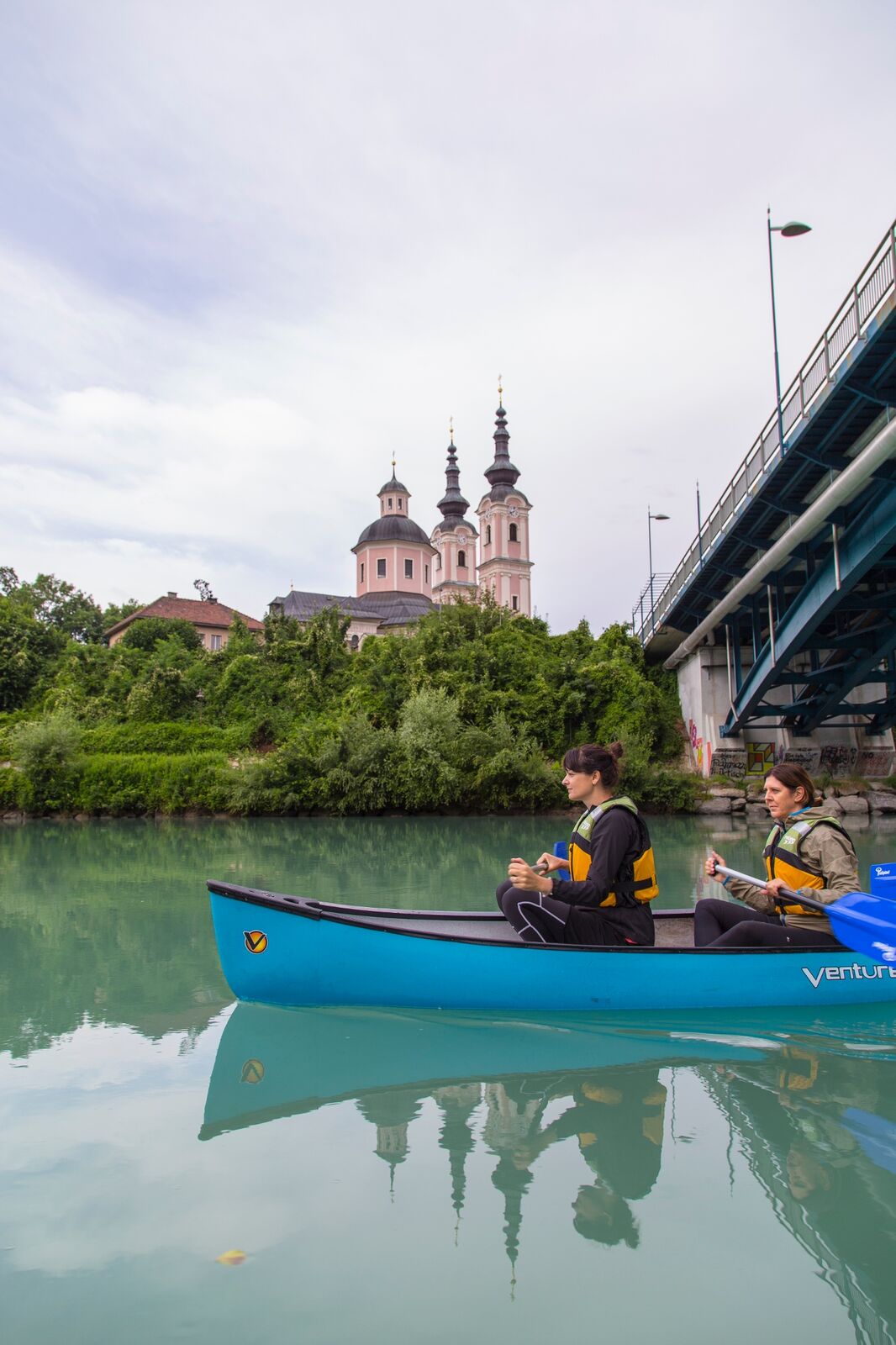
With the canoe we go over the cozy Drau through the unmistakable Draustadt Villach up to the harmonious flat water biotope Föderlach.
- Sværhedsgrad
-
let
- Evaluering
-
- Rute
-
Innere Stadt2,0 kmVillach (501 m)2,4 kmSt. Agathen4,8 kmGailspitz6,3 kmGottestal10,5 kmDragnitz11,2 kmSankt Niklas11,3 kmGraschitz11,9 km
- Bedste sæson
-
janfebmaraprmajjunjulaugsepoktnovdec
- Højeste punkt
- 485 m
- Destination
-
District Drau/Rosegg
- Højdeprofil
-


- Forfatter
-
Rundvisningen Drau Paddle Path bruges af outdooractive.com forudsat.
GPS Downloads


Generel information
Flora
Fauna
Lovende
Flere ture i regionerne