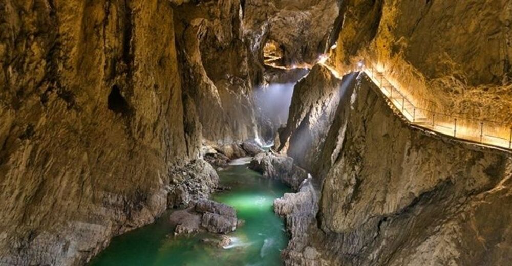
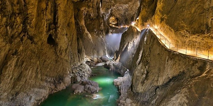
© Javni zavod Park Škocjanske jame

© Park Škocjanske jame, Slovenija

- Kort beskrivelse
- Sværhedsgrad
-
let
- Evaluering
-
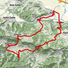
- Rute
-
UlurjeMahnič0,0 kmMattauno0,0 kmBelvedere0,3 kmGradischie di San Canziano1,4 kmGaberce Auremiano8,3 kmSenosetsch10,0 kmSan Bartolomeo10,2 kmGostilna NANOS16,3 kmPrevallo16,5 km
- Bedste sæson
-
janfebmaraprmajjunjulaugsepoktnovdec
- Højeste punkt
- 716 m
- Destination
-
Divača
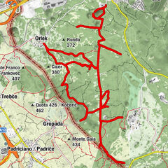
- Højdeprofil
-
 © outdooractive.com

- Forfatter
-
Rundvisningen Via Alpina Slovenia: Red trail Stage 2 (Matavun-Razdrto) bruges af outdooractive.com forudsat.
GPS Downloads


Generel information
Forfriskningsstop
Helbredende klima
Kulturel/Historisk
Flere ture i regionerne
-
Notranjsko-Kraška
68
-
Škocjan
13