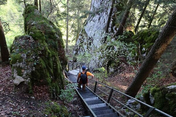
© Solothurn Tourismus - Toni Kaiser

© Solothurn Tourismus - Toni Kaiser

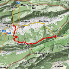
© Tourenplaner SCHWEIZ - Jochen Ihle

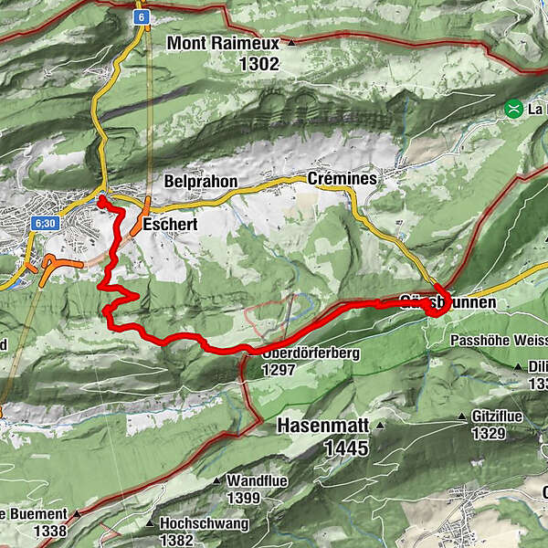
© Tourenplaner SCHWEIZ - Jochen Ihle

© Tourenplaner SCHWEIZ - Jochen Ihle

© Solothurn Tourismus - Region Solothurn Tourismus

© Solothurn Tourismus - Region Solothurn Tourismus

© Solothurn Tourismus - Toni Kaiser

© Tourenplaner SCHWEIZ - Jochen Ihle

© Tourenplaner SCHWEIZ - Jochen Ihle
- Kort beskrivelse
-
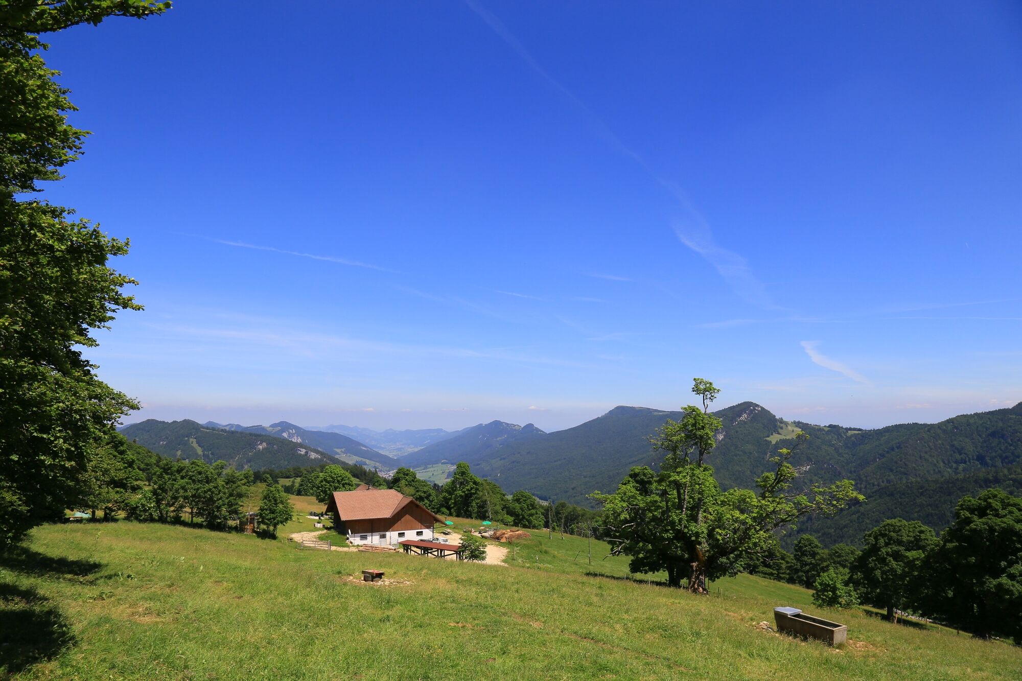
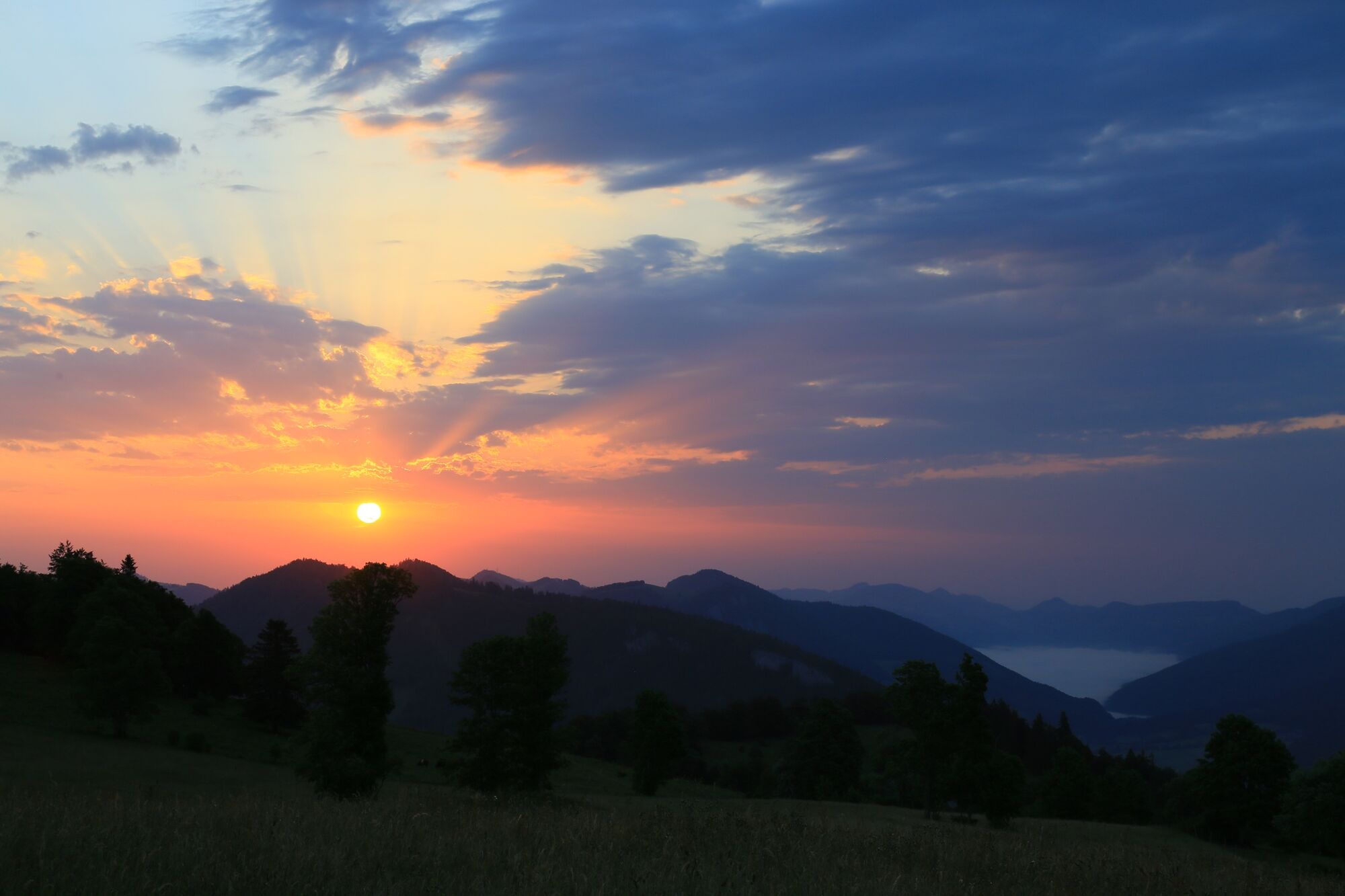
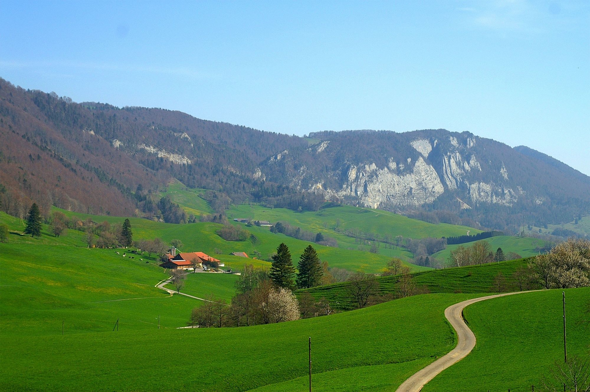
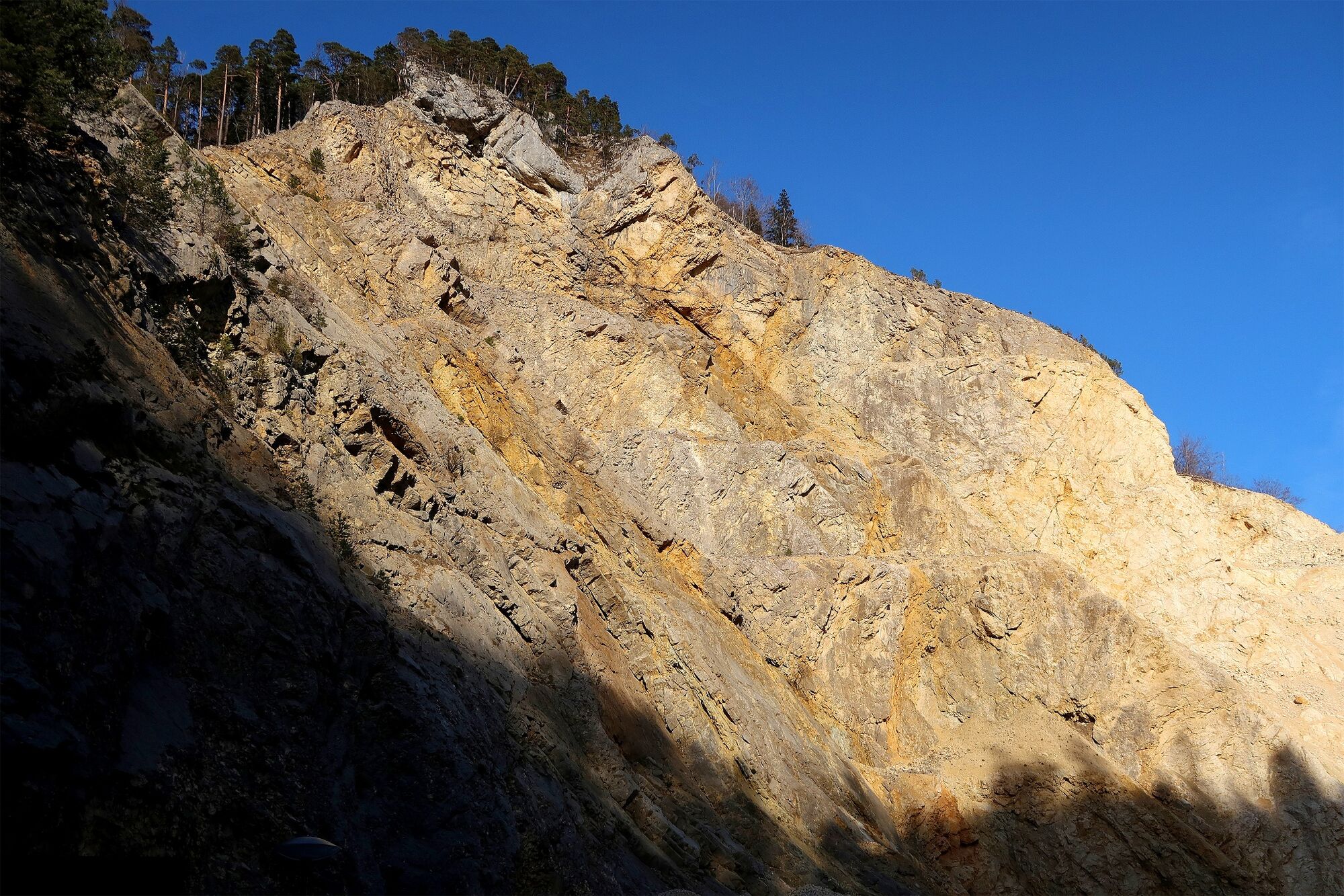
Passing through Jura meadows and cantons, this hike – complete with stunning views – leads from French-speaking Moutier via the popular Oberdörfer mountain restaurant down to German-speaking Gänsbrunnen, the gateway to the Thal Nature Park.
- Sværhedsgrad
-
medium
- Evaluering
-
- Rute
-
Moutier (529 m)Münster (535 m)0,2 kmLoge aus Boeufs6,0 kmOberdörferberg (1.297 m)7,3 kmOberdörferberg8,7 kmBacki9,5 kmStaatswald Montpelon11,9 kmGänsbrunnen (732 m)12,0 kmMühlehof12,2 kmGänsbrunnen (719 m)12,7 km
- Bedste sæson
-
janfebmaraprmajjunjulaugsepoktnovdec
- Højeste punkt
- 1.287 m
- Destination
-
Gänsbrunnen
- Højdeprofil
-
 © outdooractive.com


- Forfatter
-
Rundvisningen From Moutier to the Thal Nature Park bruges af outdooractive.com forudsat.
GPS Downloads


Generel information
Forfriskningsstop
Kulturel/Historisk
Flora
Fauna
Lovende
Flere ture i regionerne
-
Solothurn und Region
1456
-
Bucheggberg
525
-
Moutier
131