© Tourismus Savognin Bivio Albula AG - @SeraGio_Fotografie
© Tourismus Savognin Bivio Albula AG - @SeraGio_Fotografie

© Tourismus Savognin Bivio Albula AG - @SeraGio_Fotografie
© Tourismus Savognin Bivio Albula AG - @SeraGio_Fotografie
© Unbekannt - Tourismus Savognin Bivio Albula AG

© Unbekannt - Tourismus Savognin Bivio Albula AG
© Tourismus Savognin Bivio Albula AG - @SeraGio_Fotografie
© Tourismus Savognin Bivio Albula AG - @SeraGio_Fotografie
© Tourismus Savognin Bivio Albula AG - @SeraGio_Fotografie

© Tourismus Savognin Bivio Albula AG - @SeraGio_Fotografie


- Kort beskrivelse
-
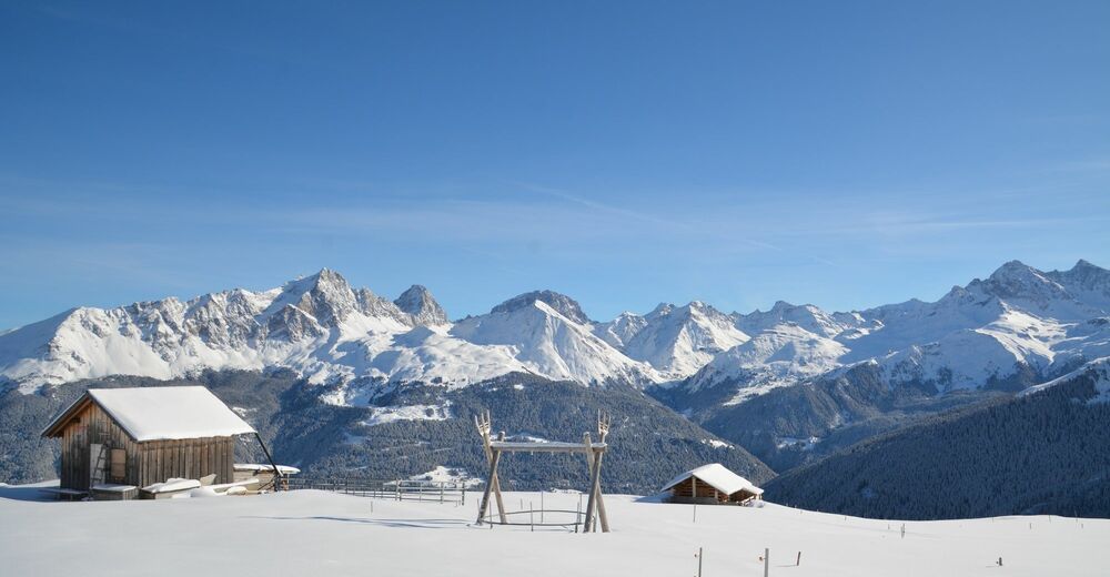
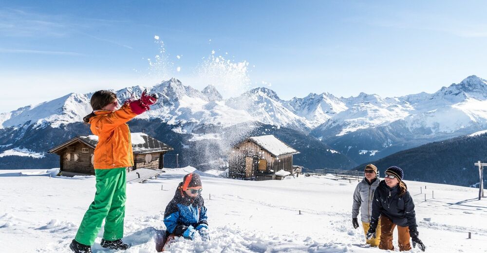
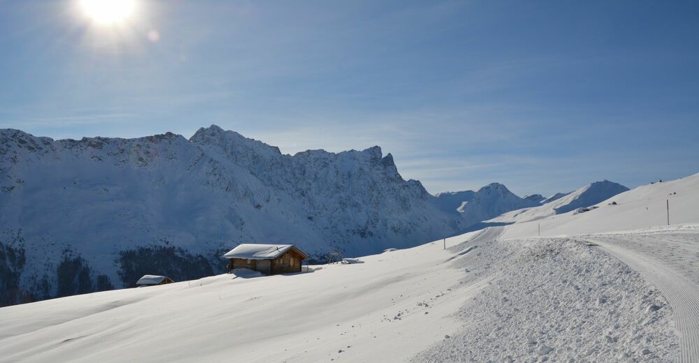
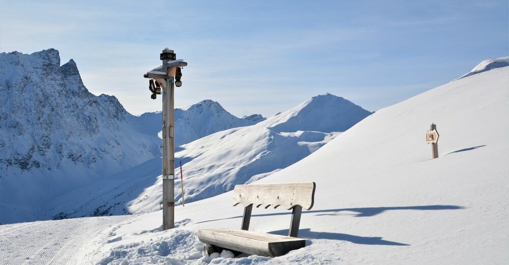
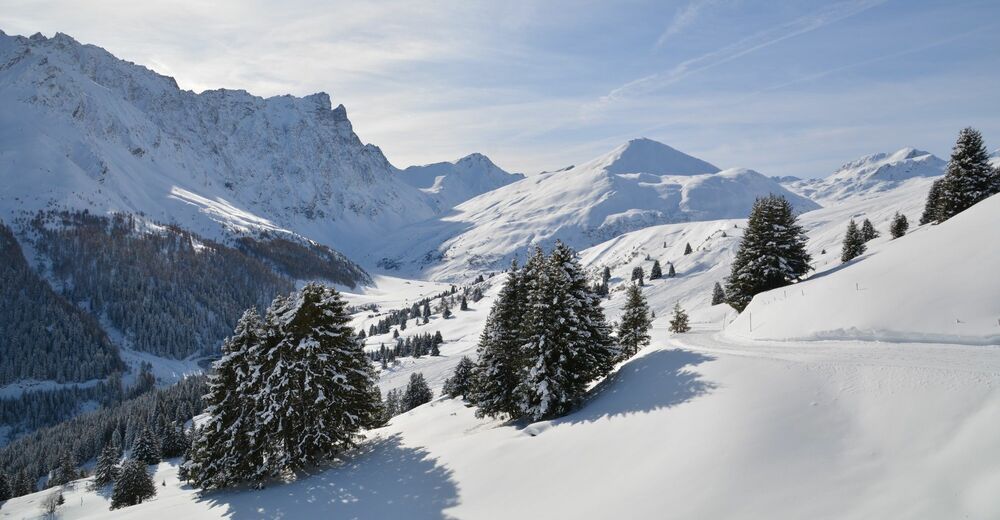
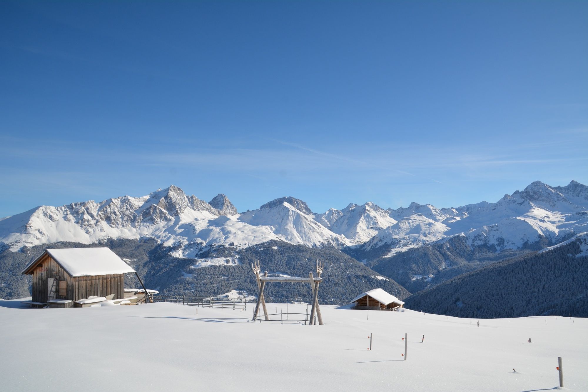
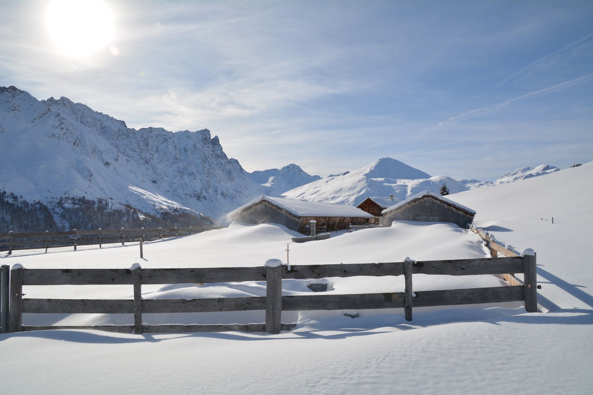
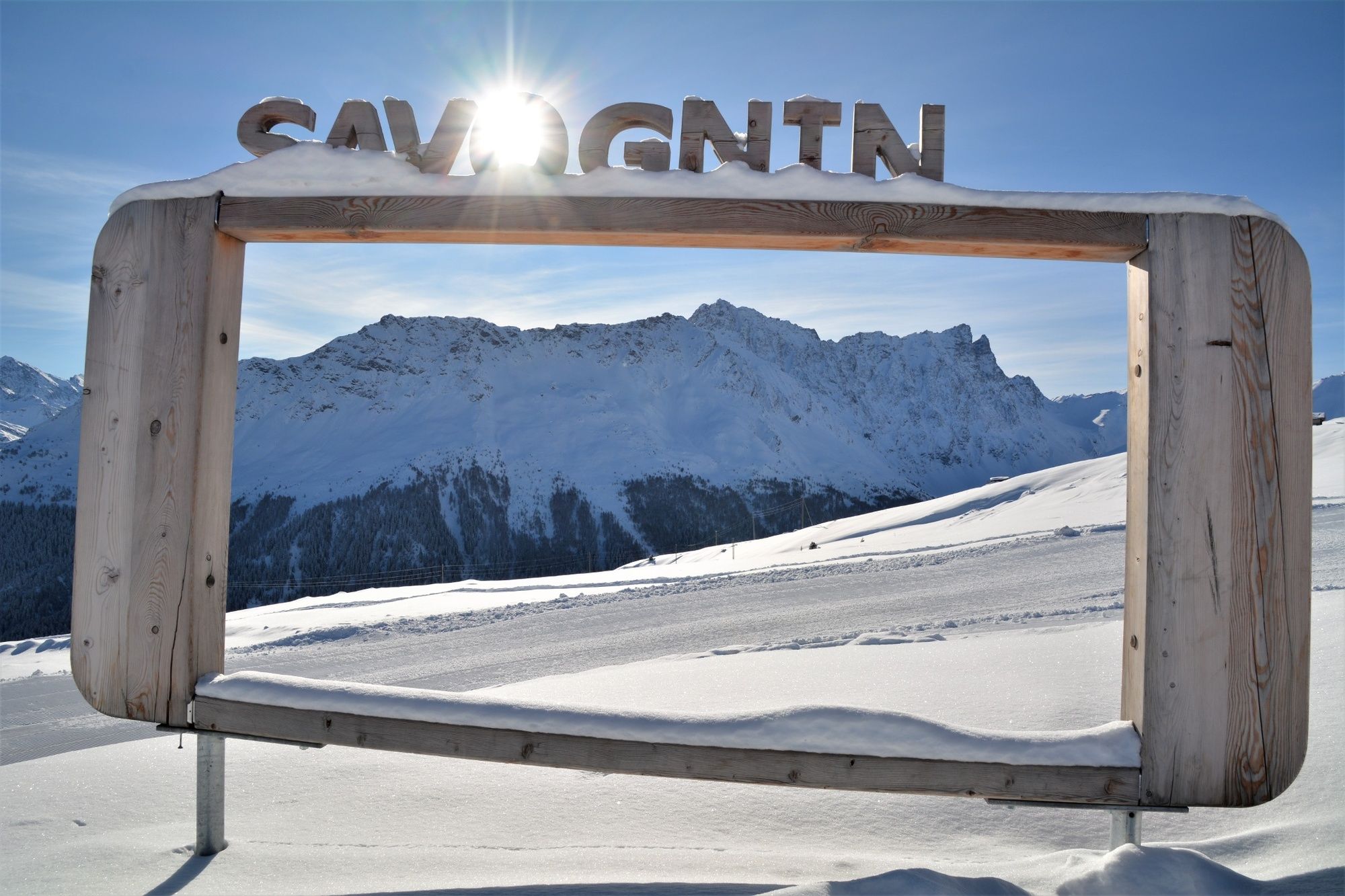
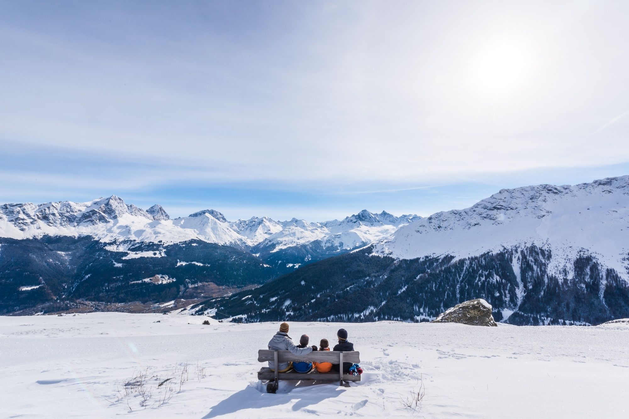
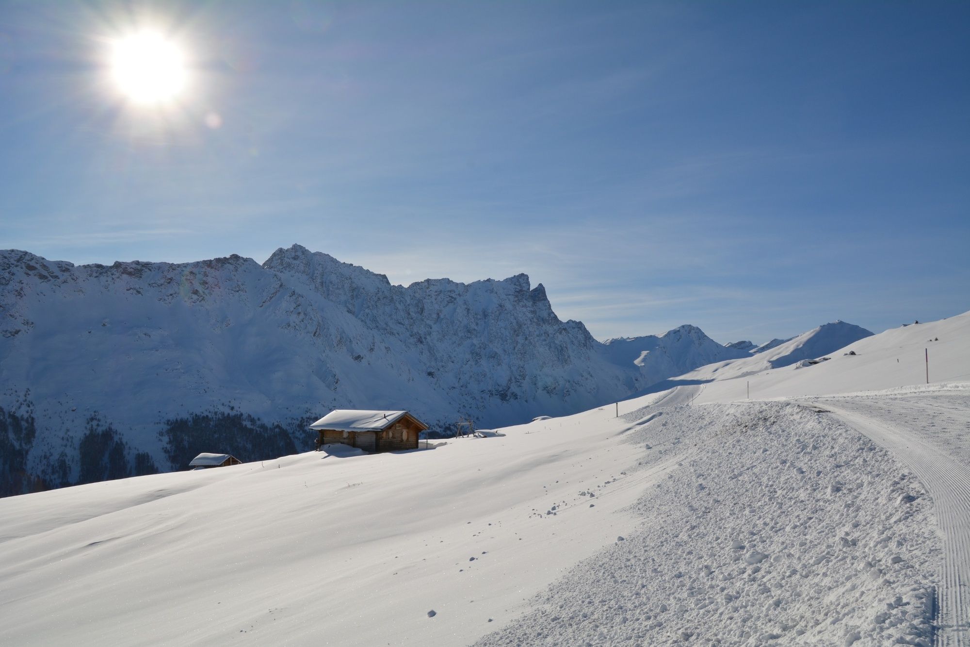
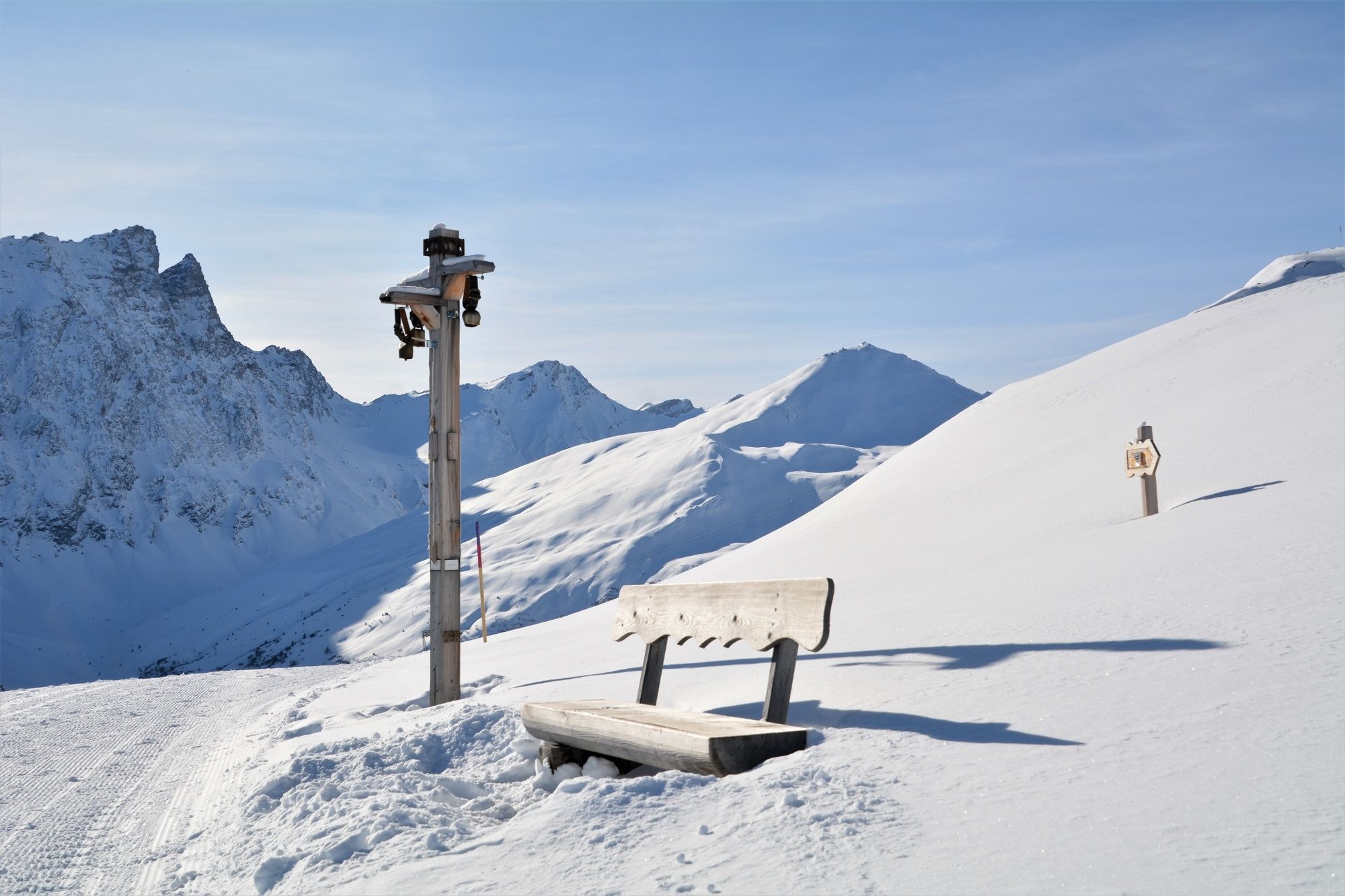
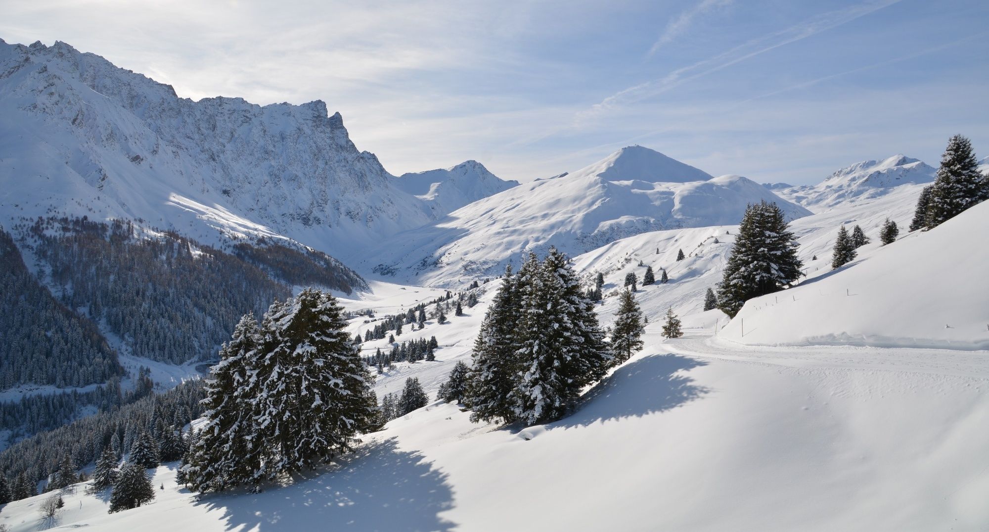
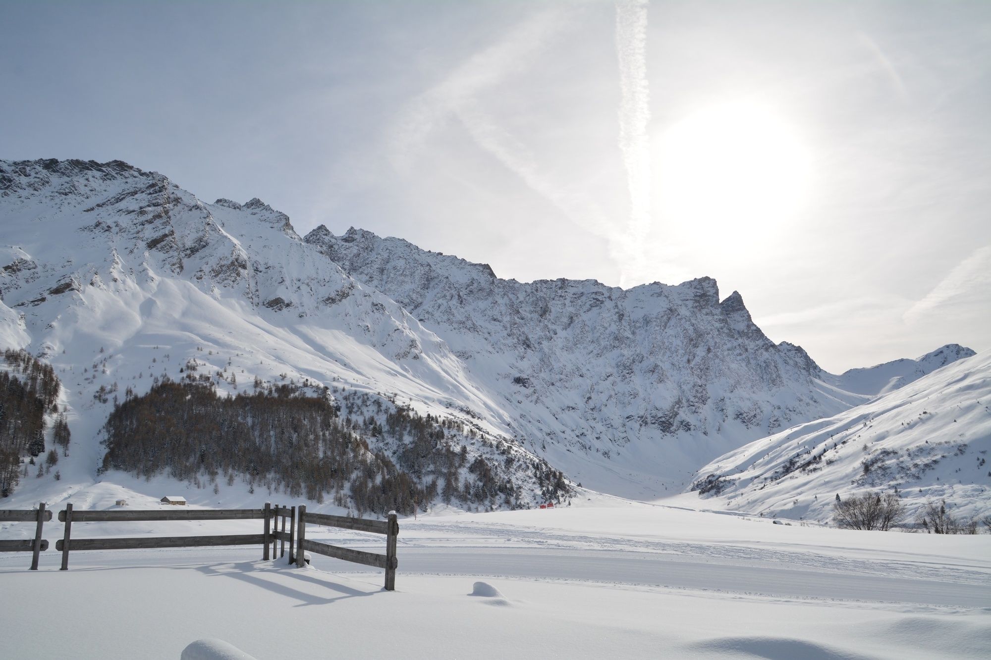
The trail runs high above Savognin with a wonderful view of the valley and the surrounding mountains with Piz Ela, Piz Mitgel and Tinzenhorn.
- Sværhedsgrad
-
medium
- Evaluering
-
- Rute
-
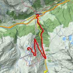
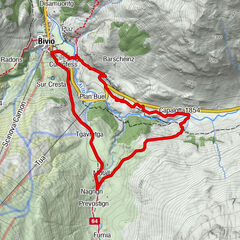
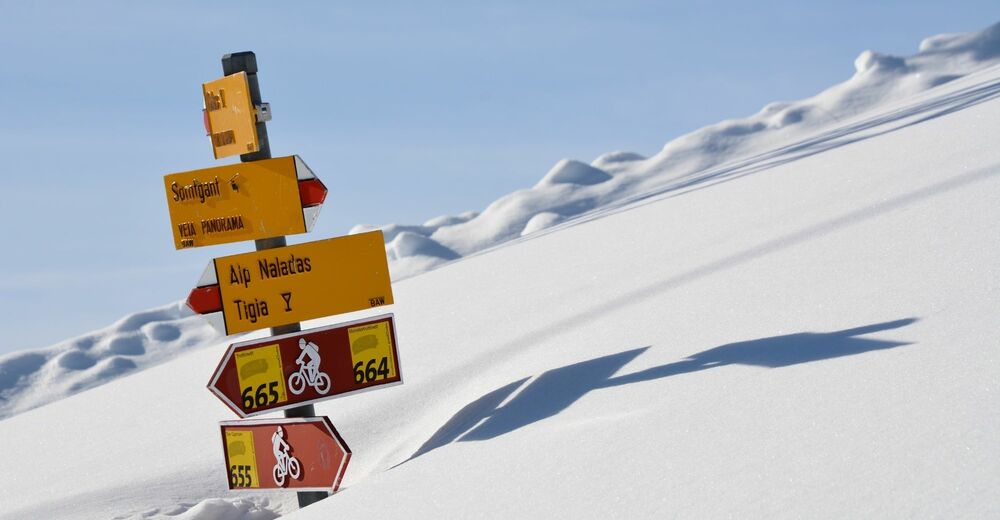
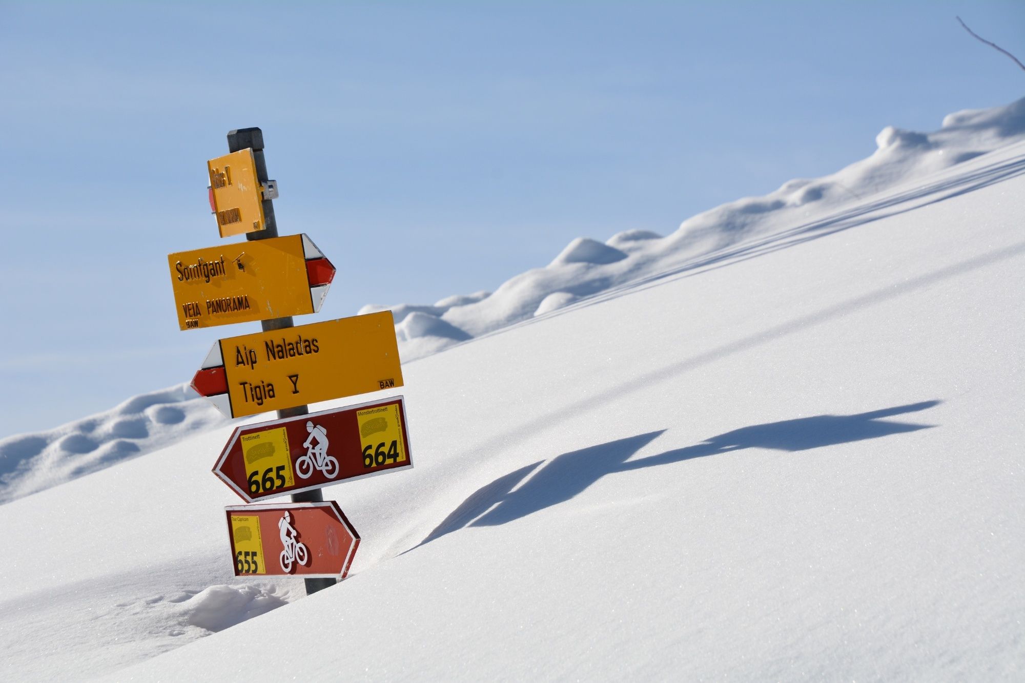
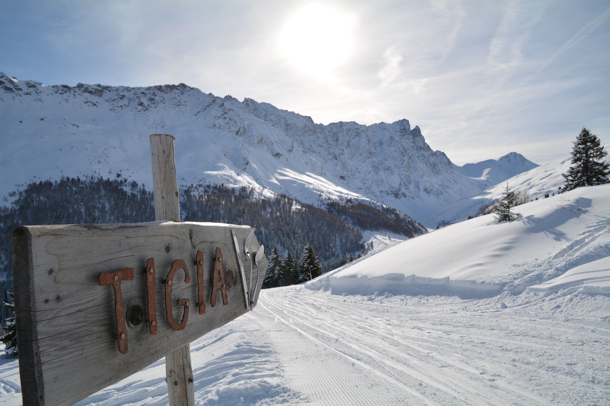
SomtgantAlp Somtgant0,4 kmAlp Naladas2,7 kmTigia3,9 kmUsteria Tigia4,1 kmManziel5,3 kmMalmigiucr6,4 kmTigignas8,0 km
- Bedste sæson
-
augsepoktnovdecjanfebmaraprmajjunjul
- Højeste punkt
- 2.150 m
- Destination
-
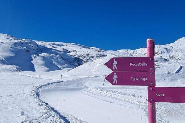
Tigignas
- Højdeprofil
-
 © outdooractive.com

- Forfatter
-
Rundvisningen 340 Panoramaweg Somtgant bruges af outdooractive.com forudsat.
GPS Downloads


Generel information
Forfriskningsstop
Insider-tip
Lovende
Flere ture i regionerne
-
Val Surses
156
-
Savognin
26