© Andrea Badrutt

© Andrea Badrutt

© Andrea Badrutt

© Engadin Samnaun Val Müstair - Martina Mayer

© Andrea Badrutt

© Andrea Badrutt

© Andrea Badrutt

© Andrea Badrutt

- Kort beskrivelse
-
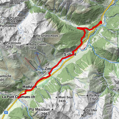
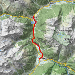
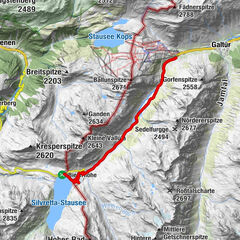
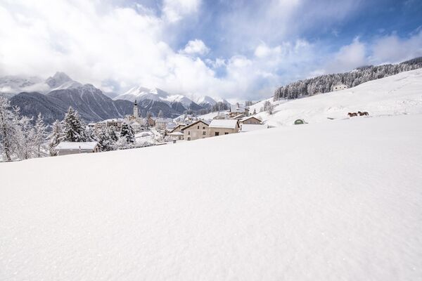
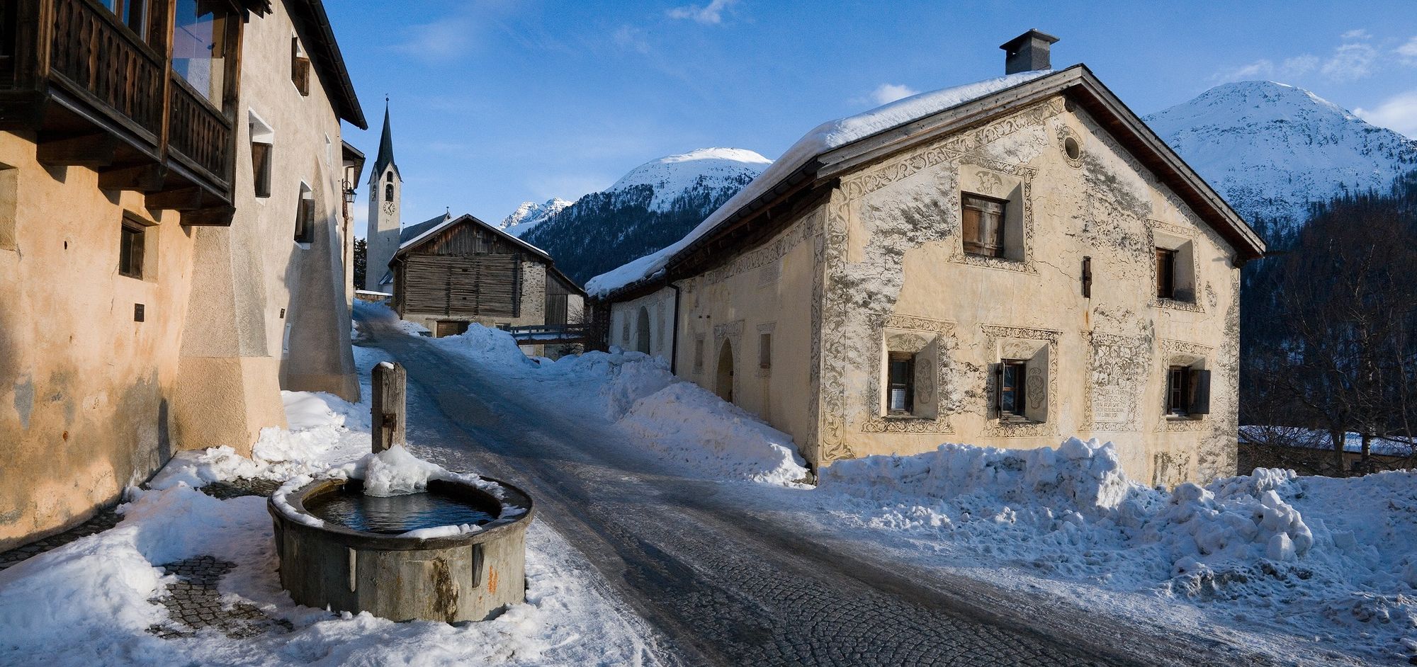
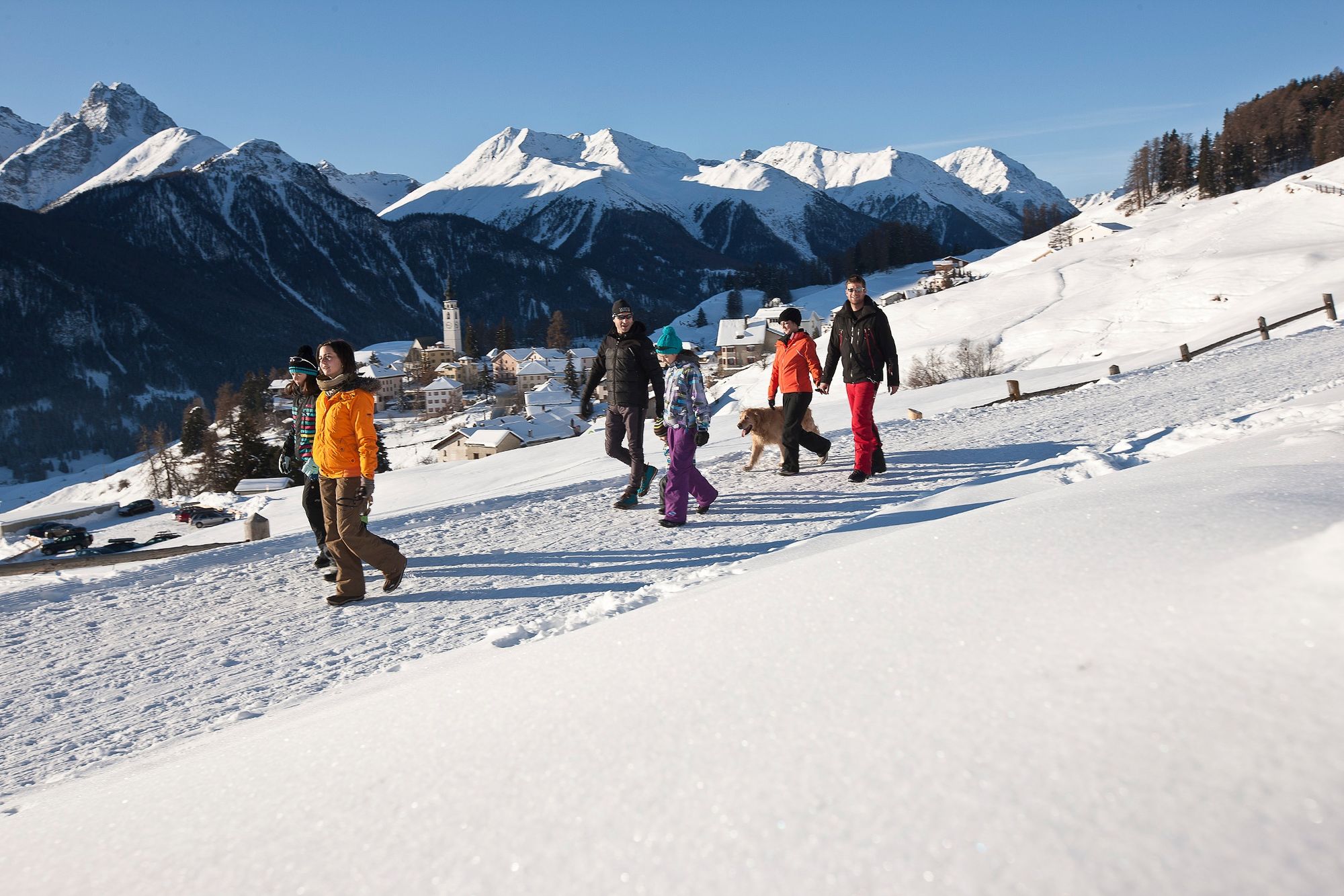
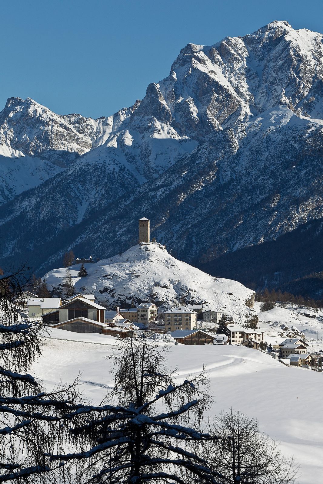
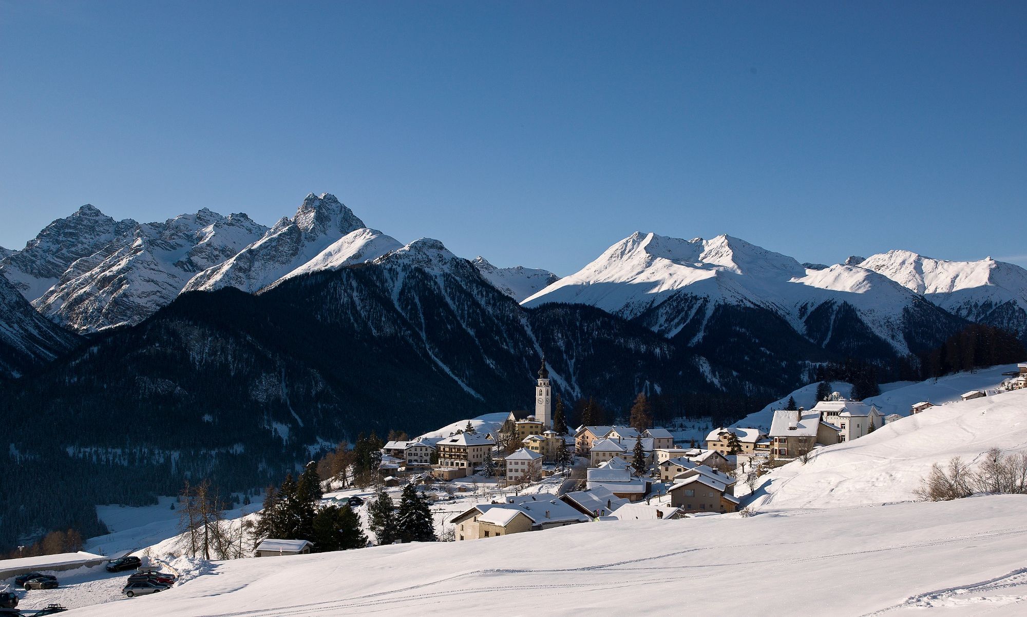
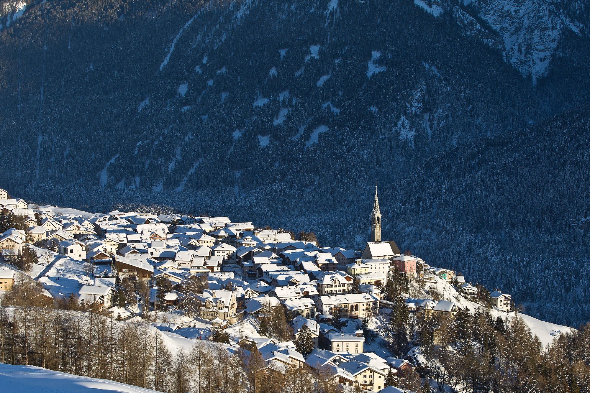
Via Engiadina panoramic hike: Hike in four stages along the Via Engiadina winter hiking trail from Zernez to Sent.
- Sværhedsgrad
-
medium
- Evaluering
-
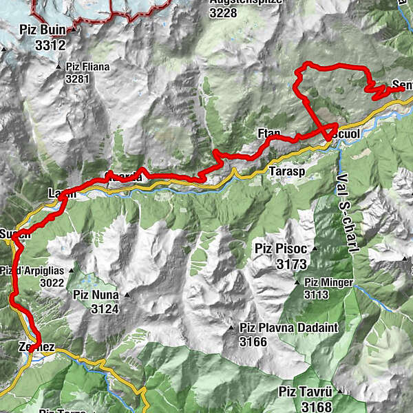
- Rute
-
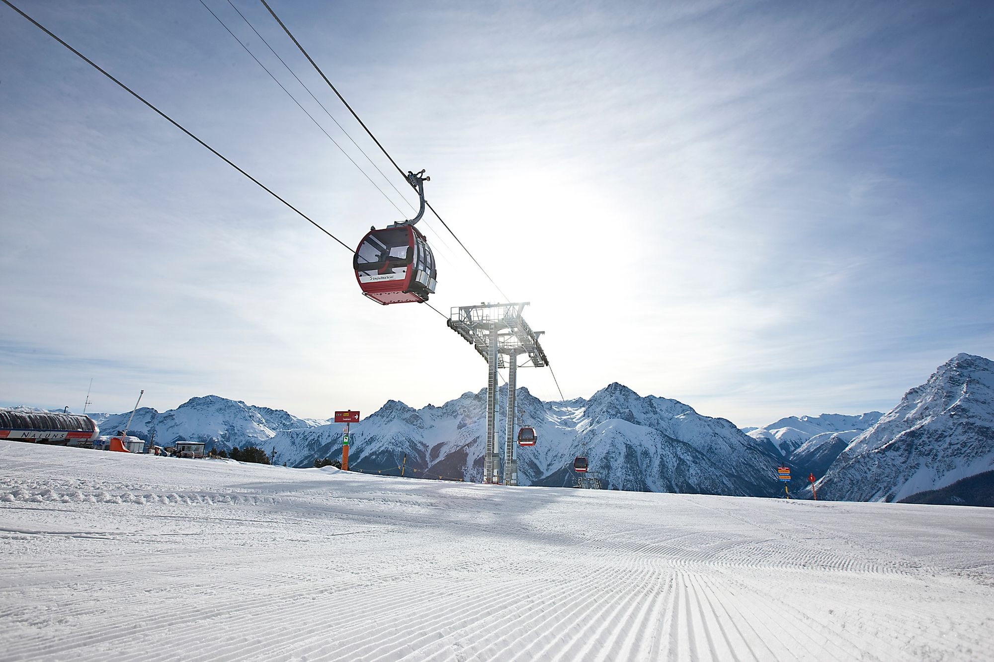
Zernez (1.471 m)San Antonius0,1 kmZernez (1.474 m)0,4 kmReformierte Kirche Zernez0,6 kmChasuot2,7 kmGüstizia4,3 kmCrusch Salet6,4 kmSusch (1.438 m)7,1 kmHatecke Ustaria Muzeum Susch7,3 kmReformierte Kirche7,3 kmLavin (1.412 m)11,9 kmPiz Linard11,9 kmReformierte Kirche12,1 kmGuarda (1.653 m)16,0 kmReformierte Kirche16,0 kmPensiun Val Tuoi16,1 kmCrusch Alba16,1 kmMeisser Dalet16,3 kmBos-cha (1.664 m)17,6 kmGletschermühle18,9 kmSchorta's Alvetern20,2 kmArdez (1.467 m)20,4 kmChanoua22,2 kmParadies25,8 kmMuglin (1.600 m)25,9 kmReformierte Kirche26,5 kmFetan (1.648 m)27,0 kmScuol (1.250 m)31,5 kmMotta Naluns34,6 kmMotta Naluns34,7 kmJonvrai36,7 kmVastur42,1 kmRestorant da muntogna Vastur42,8 kmRuinas43,4 kmDavo Stron45,4 kmDa Salvatore45,9 kmRestorant Fontana46,0 kmSins (1.440 m)46,1 km
- Bedste sæson
-
augsepoktnovdecjanfebmaraprmajjunjul
- Højeste punkt
- 2.295 m
- Destination
-
PostBus stop Sent, Plaz
- Højdeprofil
-
 © outdooractive.com
- Forfatter
-
Rundvisningen Via Engiadina long-distance hiking trail (winter) bruges af outdooractive.com forudsat.
GPS Downloads


Generel information
Forfriskningsstop
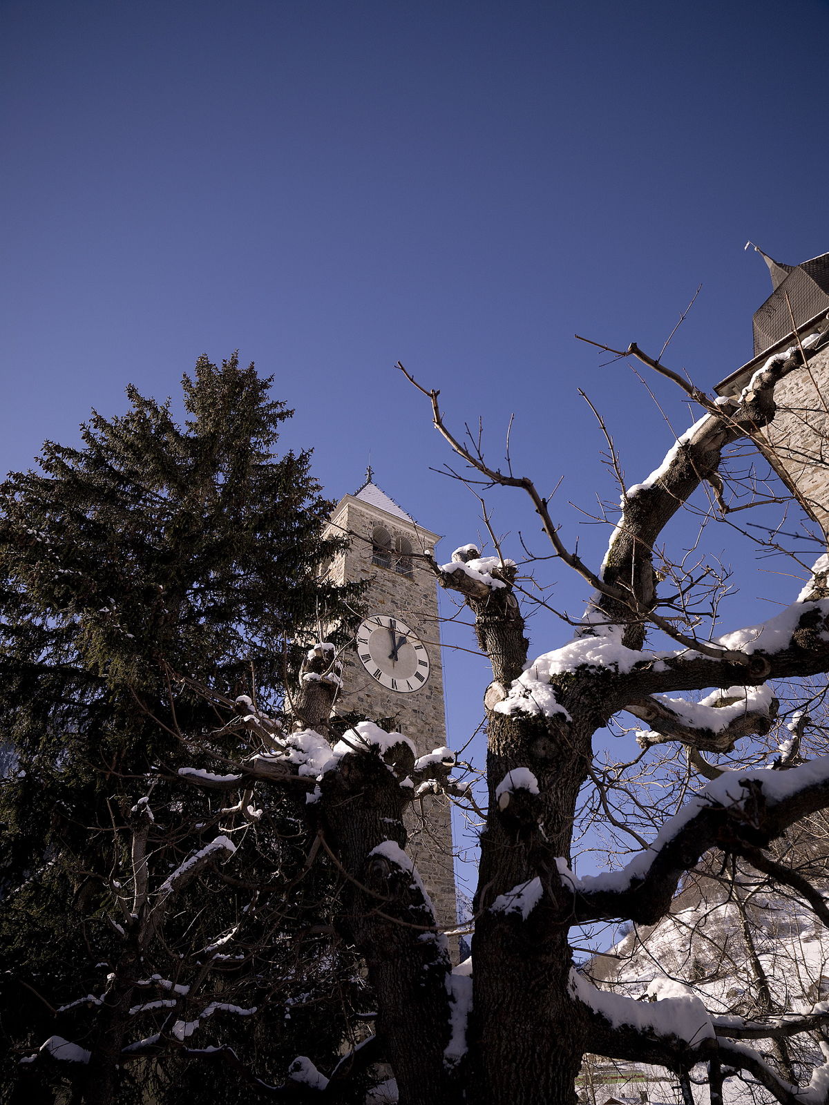
Kulturel/Historisk
Lovende
Flere ture i regionerne
-
Engadin Scuol Zernez
109
-
Ardez
35