© Engadin Samnaun Val Müstair - Andrea Badrutt, Chur

© Engadin Samnaun Val Müstair - Andrea Badrutt, Chur

© Engadin Samnaun Val Müstair - Andrea Badrutt, Chur

© Andrea Badrutt


- Kort beskrivelse
-
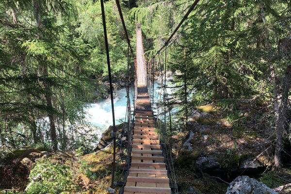
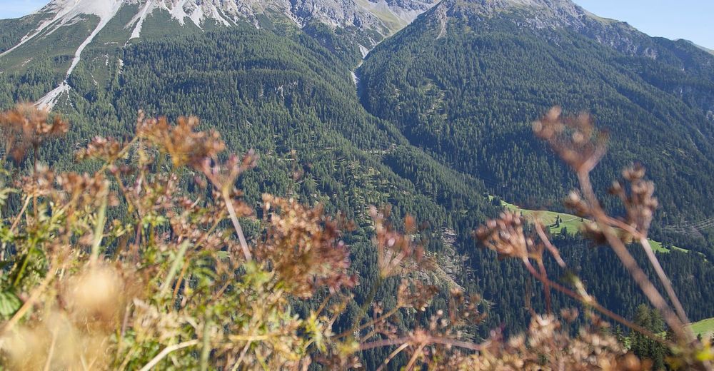
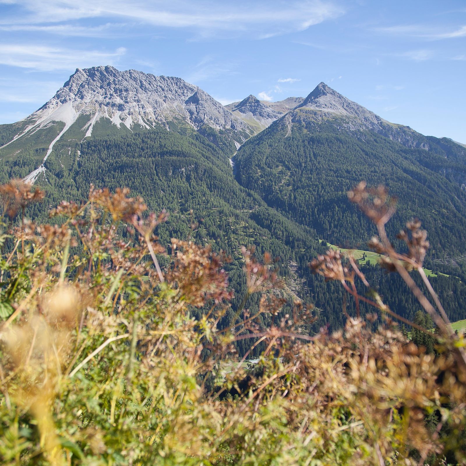
The last partial stage of the «Via Engiadina» through the forests and the partly rocky landscape in the valleys between Tschlin and Vinadi.
- Sværhedsgrad
-
medium
- Evaluering
-
- Rute
-
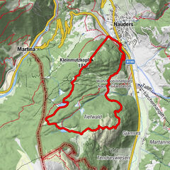
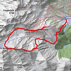
Hotel Macun0,1 kmTschlin (1.533 m)0,2 kmSan Jon0,3 kmAlpenbrauerei Girun0,4 kmSan Plasch0,6 kmVinadi11,8 km
- Bedste sæson
-
janfebmaraprmajjunjulaugsepoktnovdec
- Højeste punkt
- 1.714 m
- Destination
-
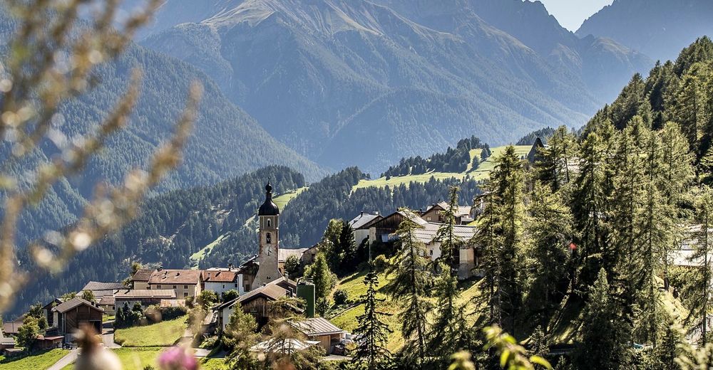
Village of Vinadi
- Højdeprofil
-
 © outdooractive.com


- Forfatter
-
Rundvisningen 87 Via Engiadina: Stage 12, Tschlin - Vinadi bruges af outdooractive.com forudsat.
GPS Downloads


Generel information
Lovende
Flere ture i regionerne
-
Vinschgau
1291
-
Samnaun
857
-
Nauders - Reschenpass
161