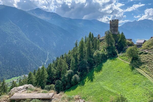
© Engadin Samnaun Val Müstair - Andrea Badrutt

© Engadin Samnaun Val Müstair - Andrea Badrutt

© Engadin Samnaun Val Müstair - Andrea Badrutt
© Engadin Samnaun Val Müstair - Andrea Badrutt

- Kort beskrivelse
-
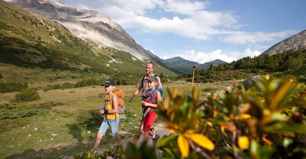
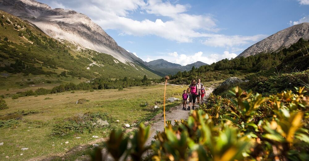
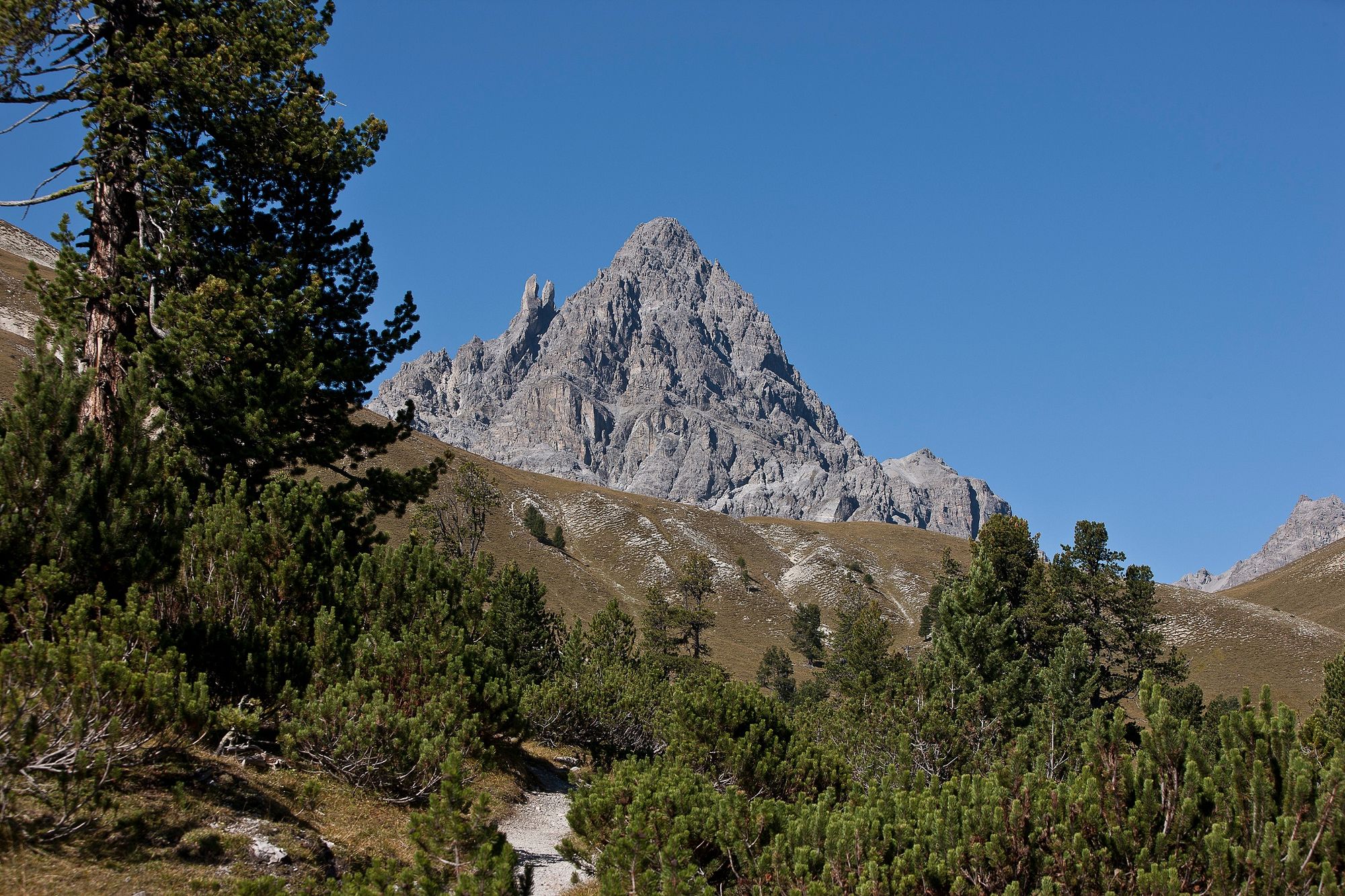
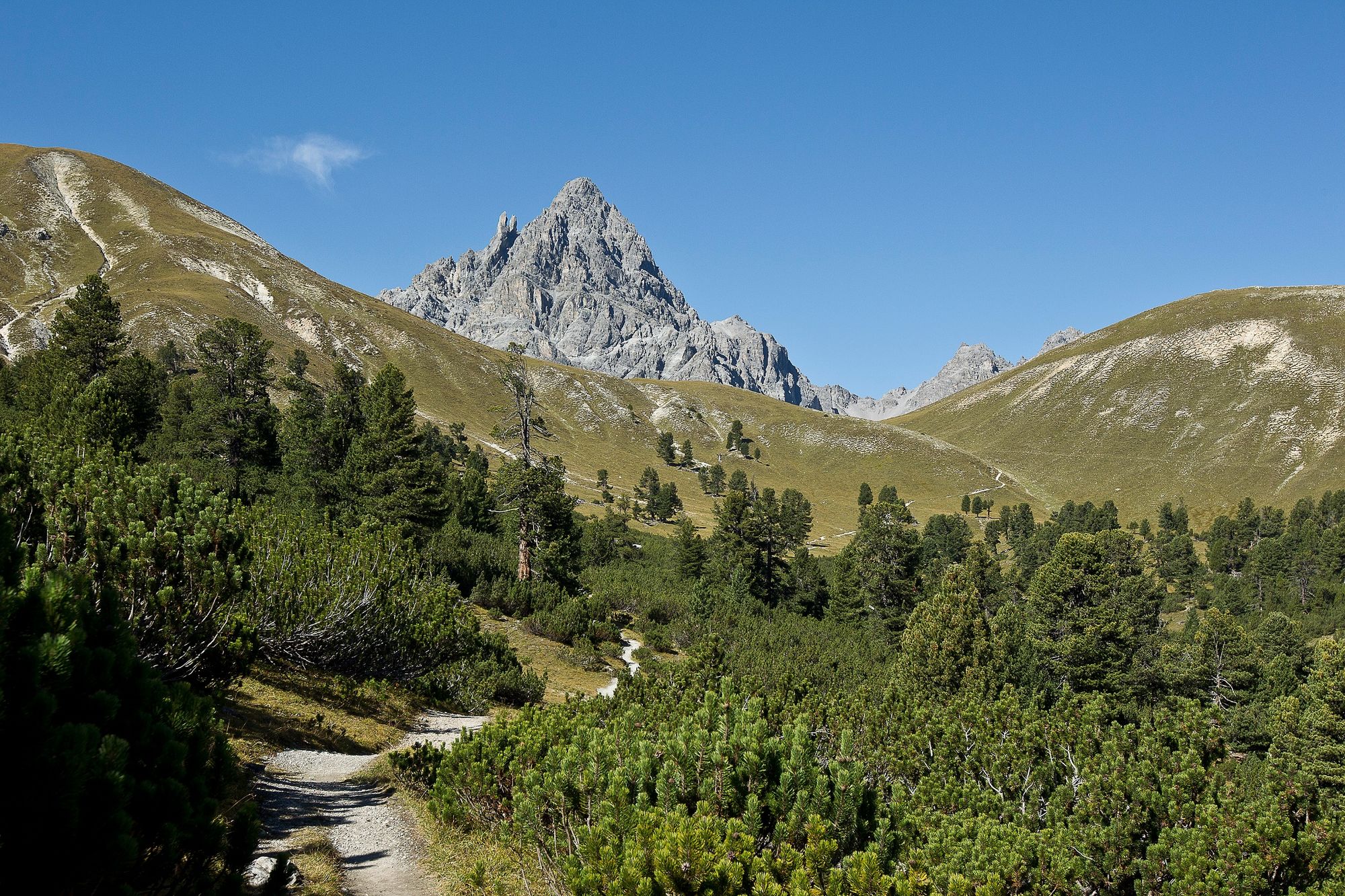
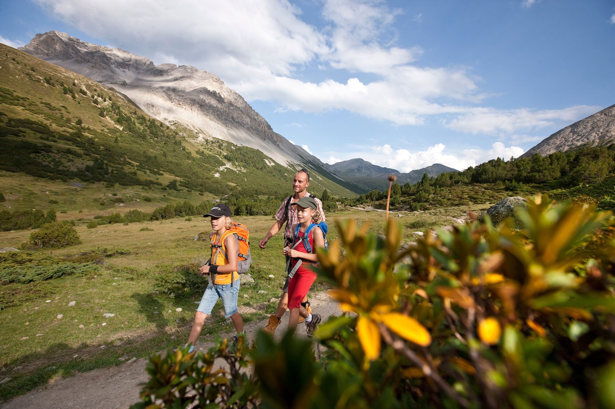
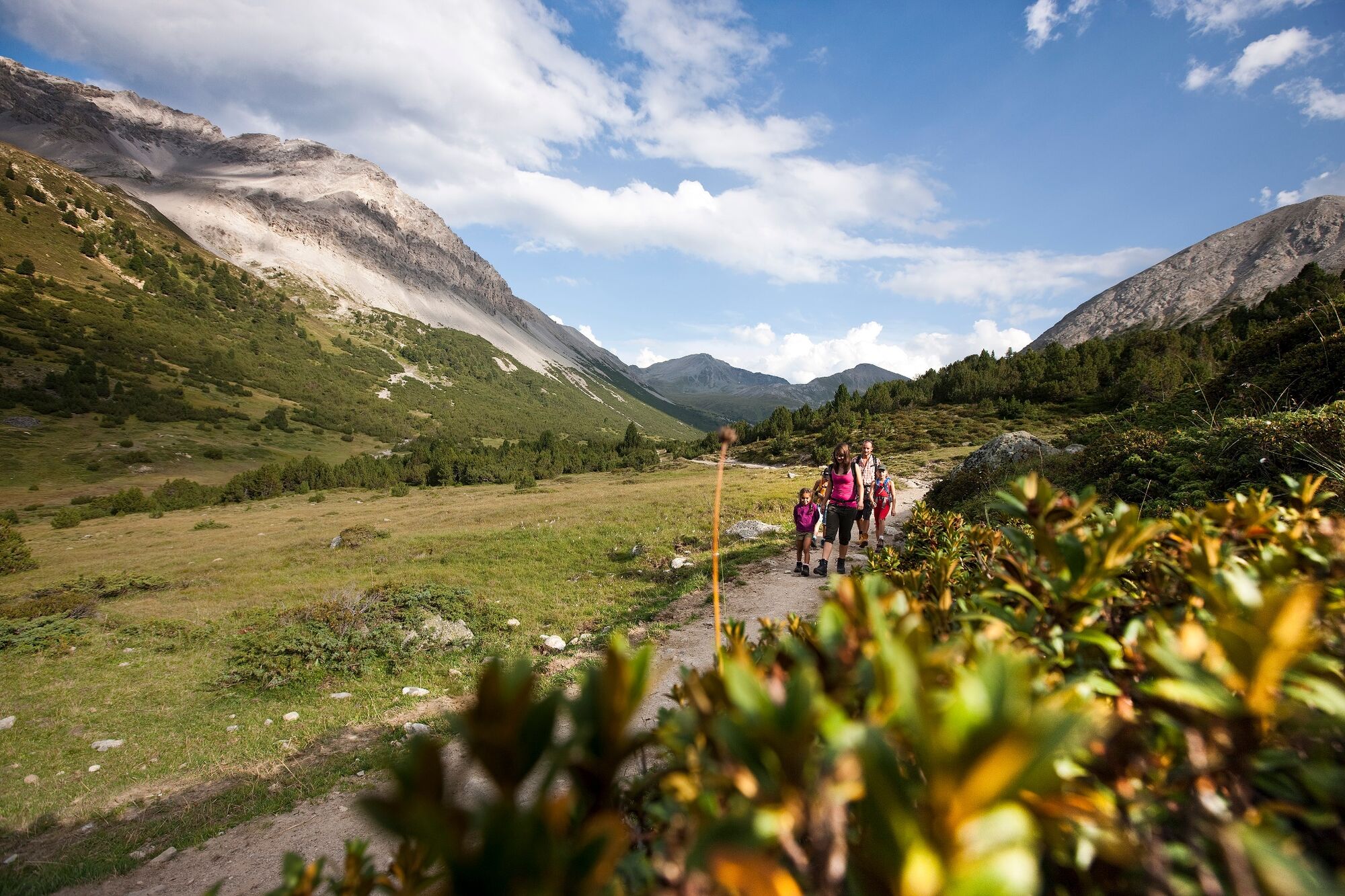
Hike from the mountain village of S-charl through the highest Swiss stone pine forest in Europe to the Ofen Pass.
- Sværhedsgrad
-
medium
- Evaluering
-
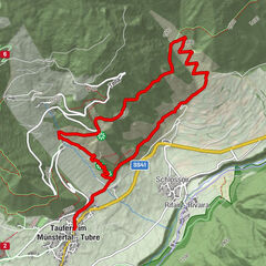
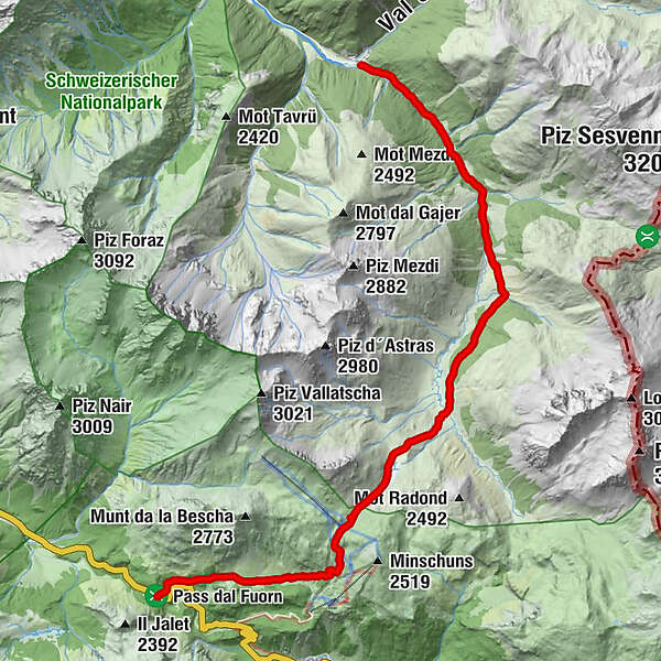
- Rute
-
S-charl (1.810 m)0,0 kmHotel Süsom Givè13,8 km
- Bedste sæson
-
janfebmaraprmajjunjulaugsepoktnovdec
- Højeste punkt
- 2.391 m
- Destination
-
PostBus stop Süsom Givè (pass summit)
- Højdeprofil
-
 © outdooractive.com
- Forfatter
-
Rundvisningen From S-charl to the Ofen Pass bruges af outdooractive.com forudsat.
GPS Downloads


Generel information
Forfriskningsstop
Lovende
Flere ture i regionerne
-
Vinschgau
1290
-
Engadin Samnaun Val Müstair
560
-
Tschierv
148