© Arosa

© Arosa

© Arosa

© Arosa

© Arosa

© Arosa

© Arosa

- Kort beskrivelse
-
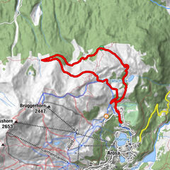
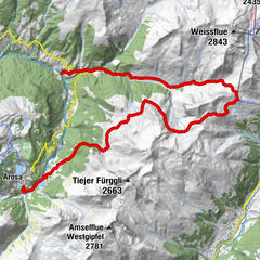
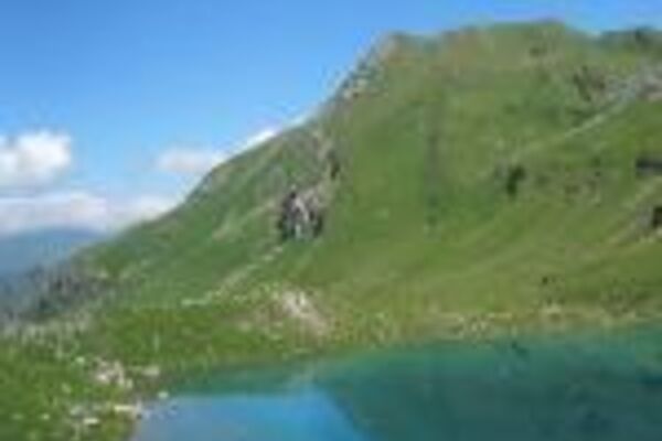
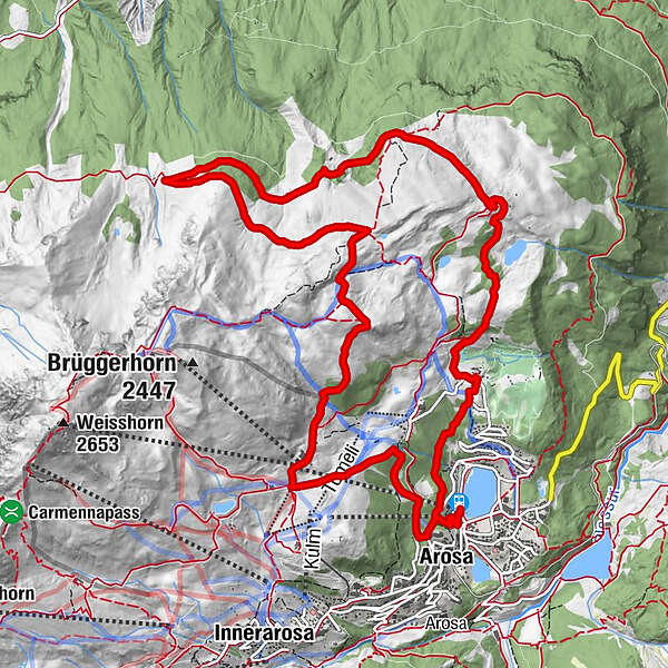
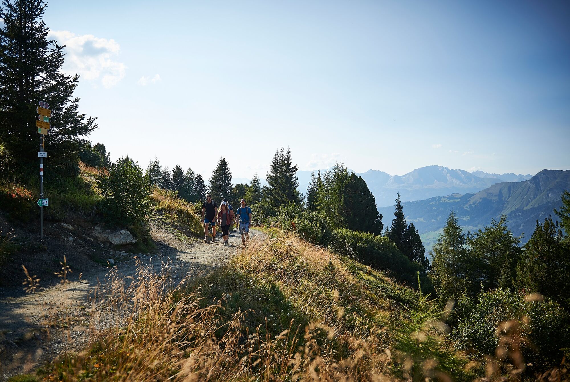
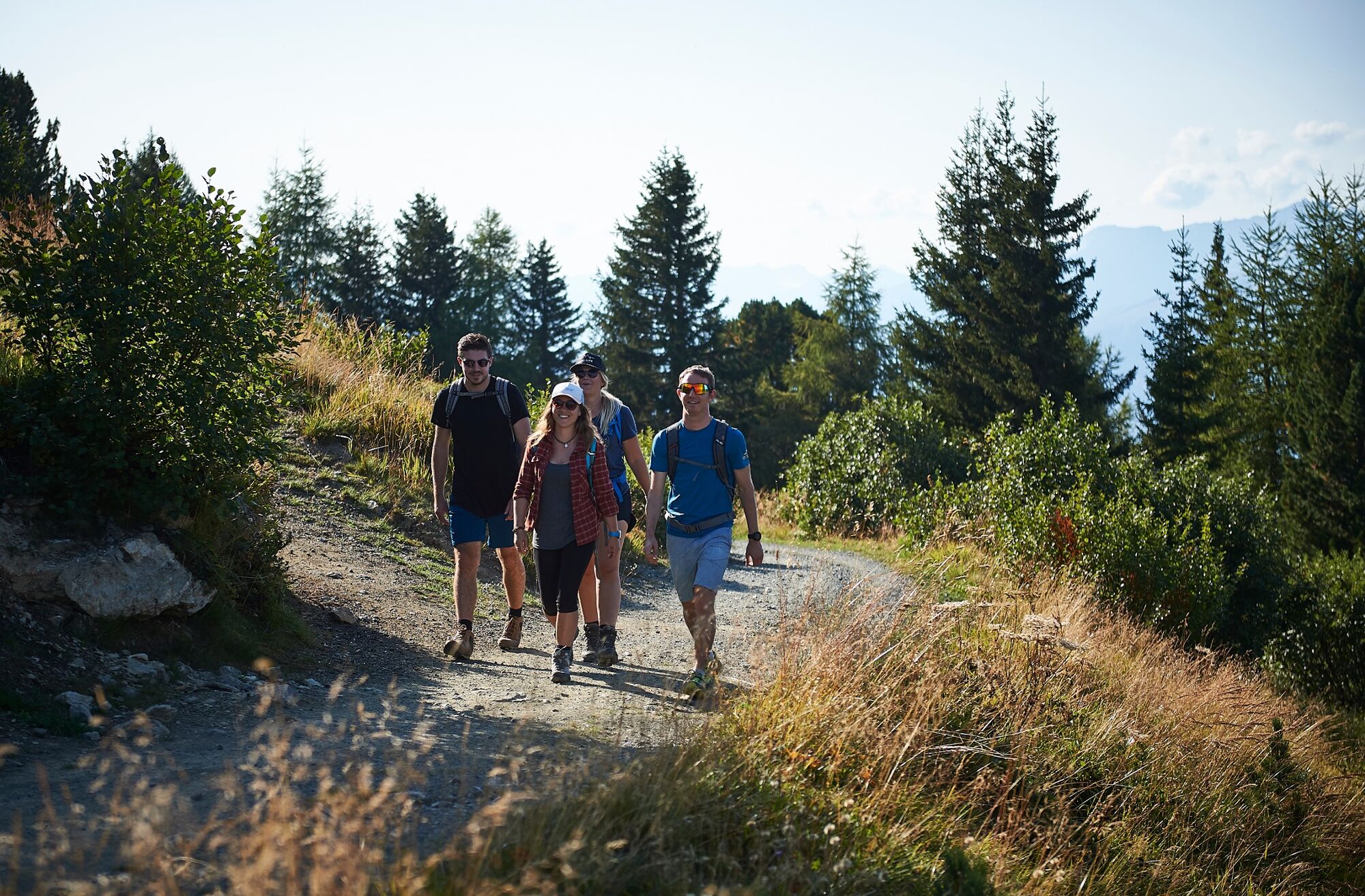
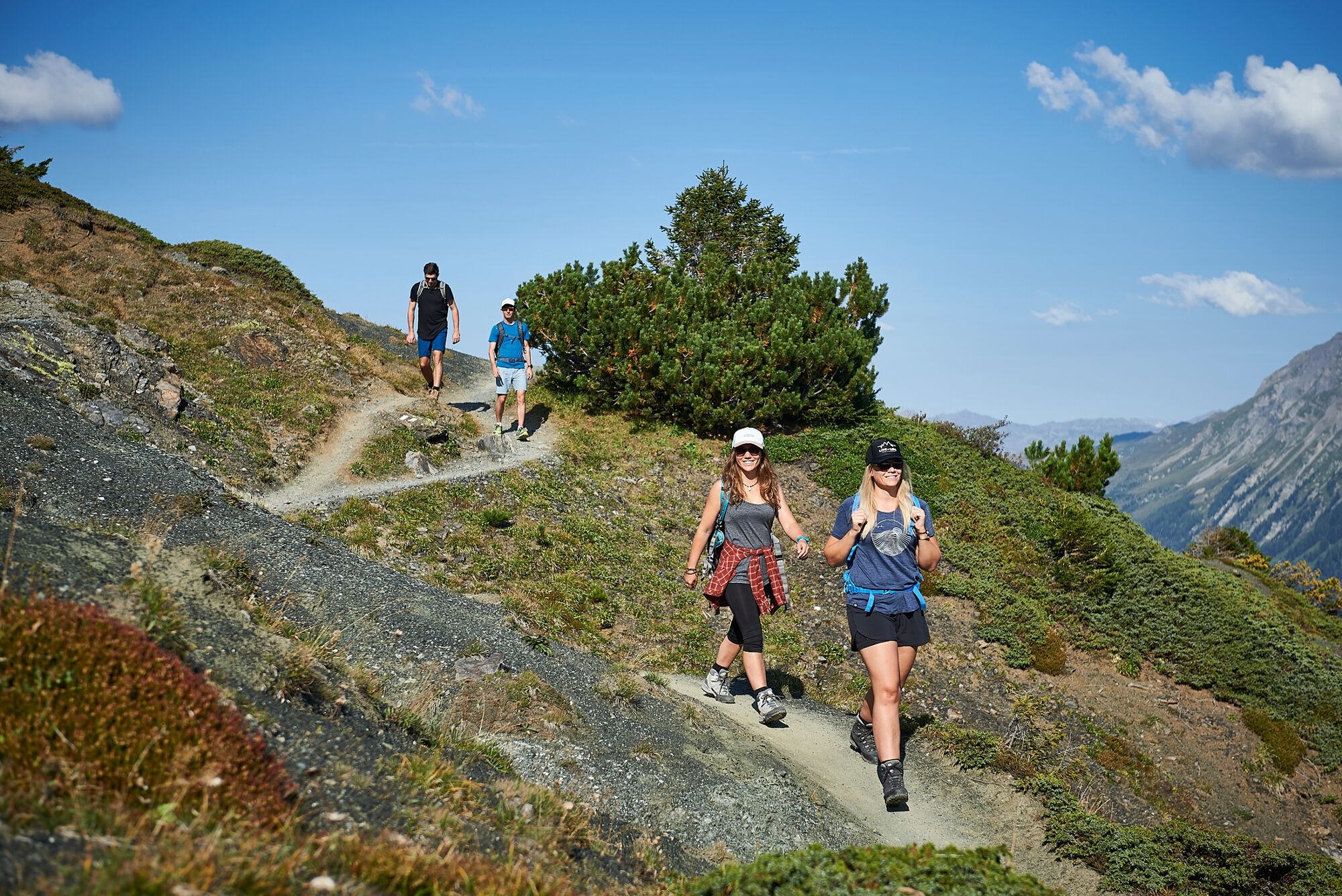
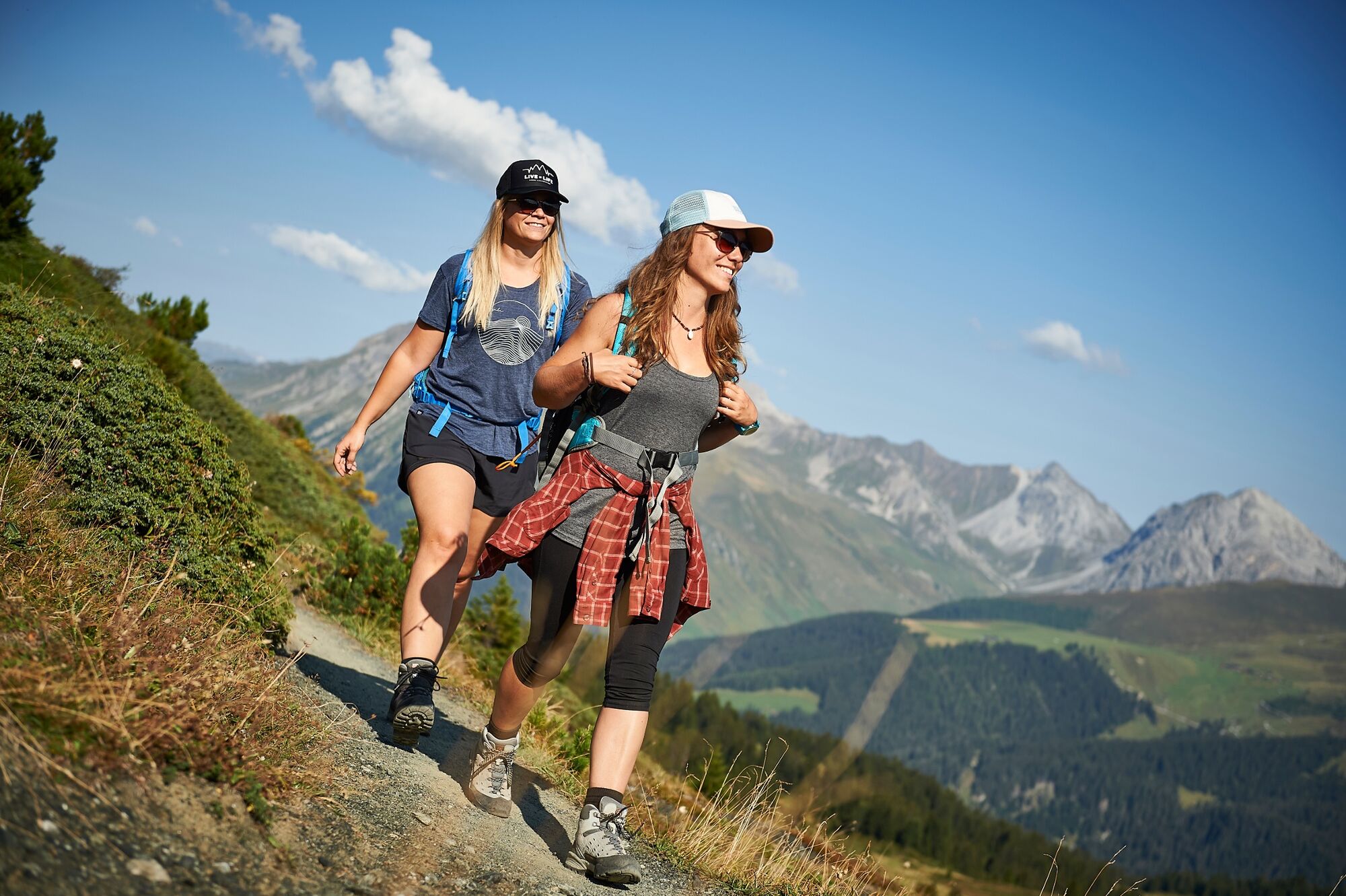
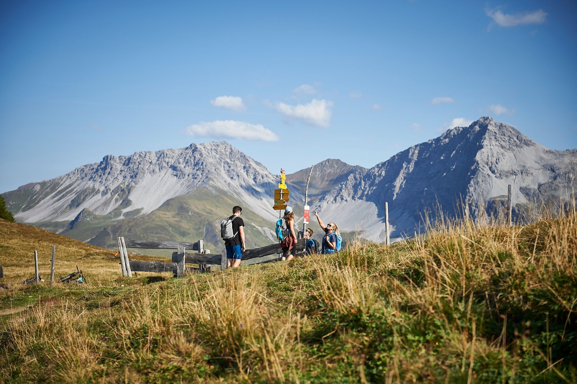
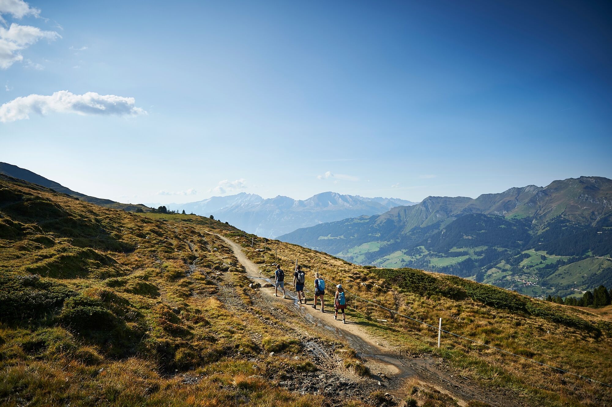
The big star of this hike is the diverse landscape around Arosa. From the highest point, the «Hauptichopf» peak, you can enjoy the splendid panorama of the Schanfigg and Rhine Valleys near Chur. Due to its convenient location, the trail is accessible from spring onwards and a popular early-season route.
- Sværhedsgrad
-
medium
- Evaluering
-
- Rute
-
Arosa (1.739 m)Arosa0,2 kmArosa (1.739 m)0,6 kmMitterer Hütte2,6 kmBrüggerstuba2,6 kmRot Tritt9,3 kmPrätschalp10,5 kmPanorama Arosa11,6 kmMaran (1.862 m)12,5 kmArosa (1.739 m)14,0 kmArosa (1.739 m)14,3 km
- Bedste sæson
-
janfebmaraprmajjunjulaugsepoktnovdec
- Højeste punkt
- 2.134 m
- Destination
-
Railway station Arosa
- Højdeprofil
-
 © outdooractive.com

-

-
ForfatterRundvisningen 768 Arosa-Ochsenalp Rundtour bruges af outdooractive.com forudsat.
GPS Downloads


Generel information
Forfriskningsstop
Lovende