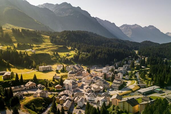
© Graubünden Ferien - Marco Hartmann

© Ente Turistico Regionale del Moesano San Bernardino, Mesolcina, Calanca - Antonella Klee

© Ente Turistico Regionale del Moesano San Bernardino, Mesolcina, Calanca - Antonella Klee

© Ente Turistico Regionale del Moesano San Bernardino, Mesolcina, Calanca - Antonella Klee

© Ente Turistico Regionale del Moesano San Bernardino, Mesolcina, Calanca - Antonella Klee
Turnédatoer
16,22km
954
- 2.400m
720hm
1.835hm
07:30h
- Kort beskrivelse
-
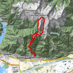
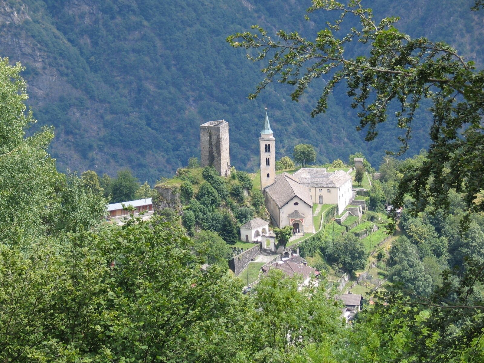
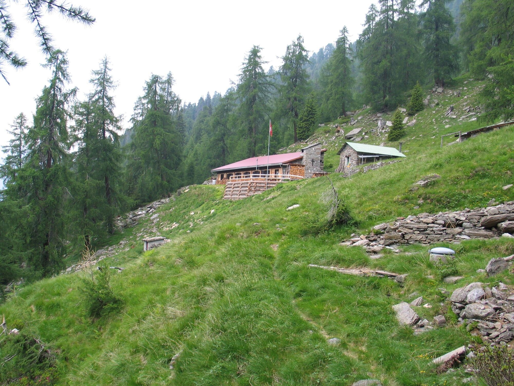
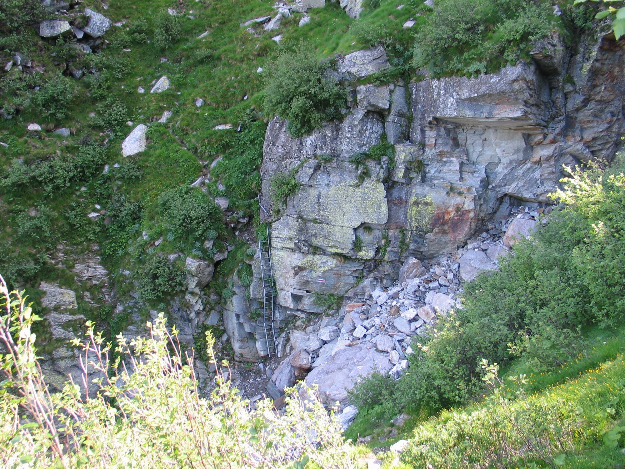
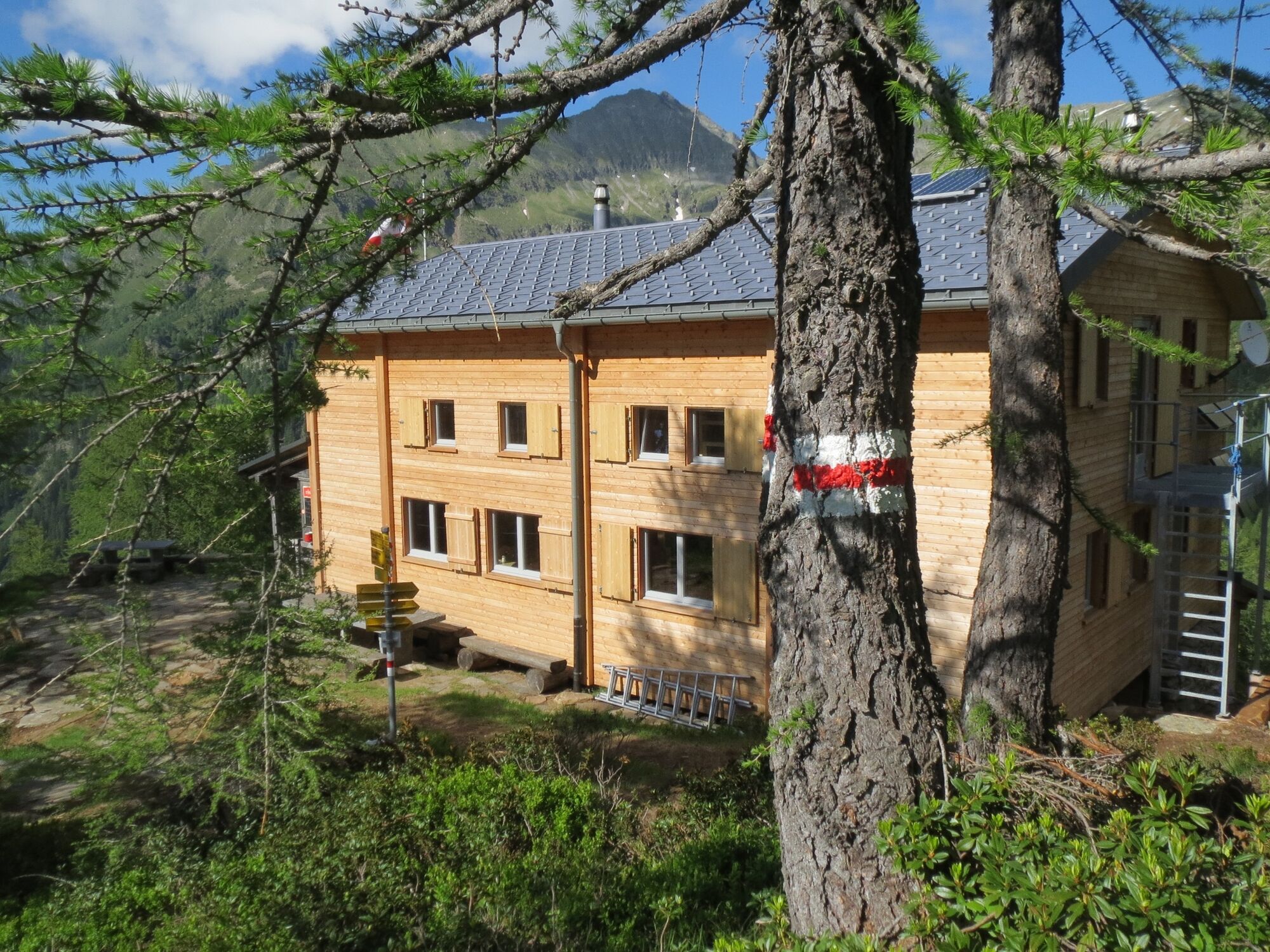
Via the Buffalora Pass to the Nomnom south ridge (well secured stairs), over the alpine pastures of Aion to the Auriglia gorge (secured ladder). Over stone blocks to the di Fora Alp (self-service hut with beverage sales) then a steep descent to the village of Santa Maria.
- Sværhedsgrad
-
medium
- Evaluering
-
- Rute
-
Pass de Buffalora (2.261 m)0,9 kmMotta del Perdül (2.003 m)5,7 kmAlp di Fora10,4 kmPian di Renten11,7 kmPian Di Renten (1.914 m)11,8 kmPian Giò13,0 kmSanta Maria in Calanca (955 m)16,0 kmRistorante de Torre16,1 km
- Bedste sæson
-
janfebmaraprmajjunjulaugsepoktnovdec
- Højeste punkt
- 2.400 m
- Destination
-
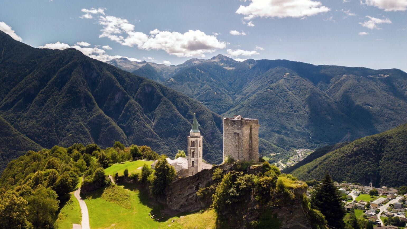
Santa Maria im Calancatal
- Højdeprofil
-
 © outdooractive.com
-

-
ForfatterRundvisningen 712.03 Sentiero Alpino Calanca, Stage 3 bruges af outdooractive.com forudsat.
GPS Downloads


Generel information
Lovende
Flere ture i regionerne
-
Comer See
766
-
Val Calanca
295
-
Braggio
46