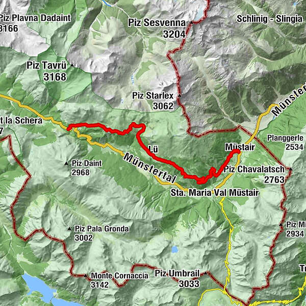
Senda Val Müstair (Süsom Givè - Alp da Munt - Alp Champatsch - Lü - Müstair)


© Engadin Samnaun Val Müstair - Tobias Cueni

© Engadin Samnaun Val Müstair - Tobias Cueni

© Engadin Samnaun Val Müstair - Tourismus Engadin Scuol Samnaun Val Müstair AG

© Engadin Samnaun Val Müstair - Michael Leibacher

© Engadin Samnaun Val Müstair - Michael Leibacher

- Kort beskrivelse
-
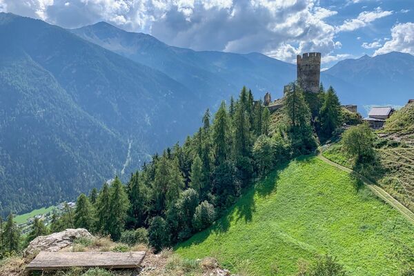
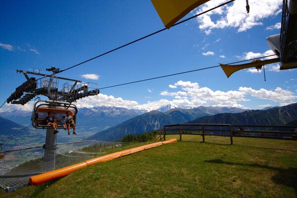
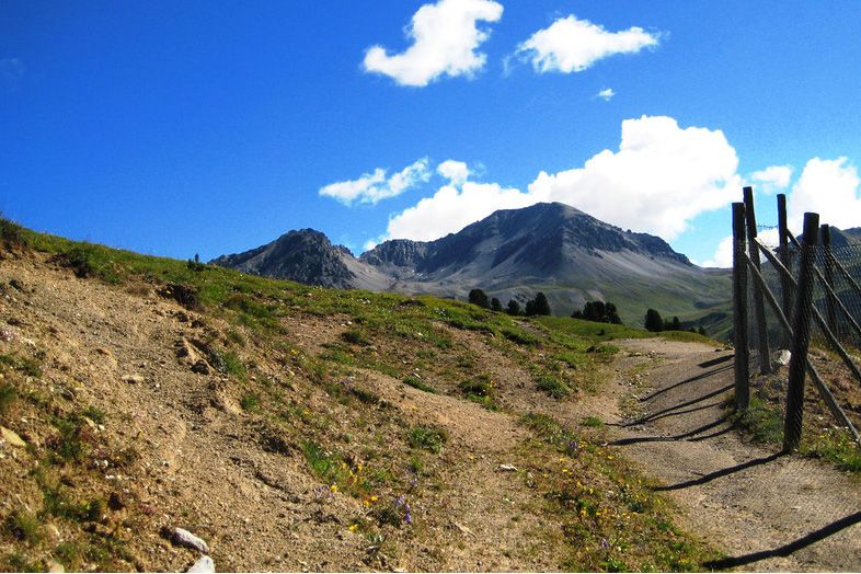
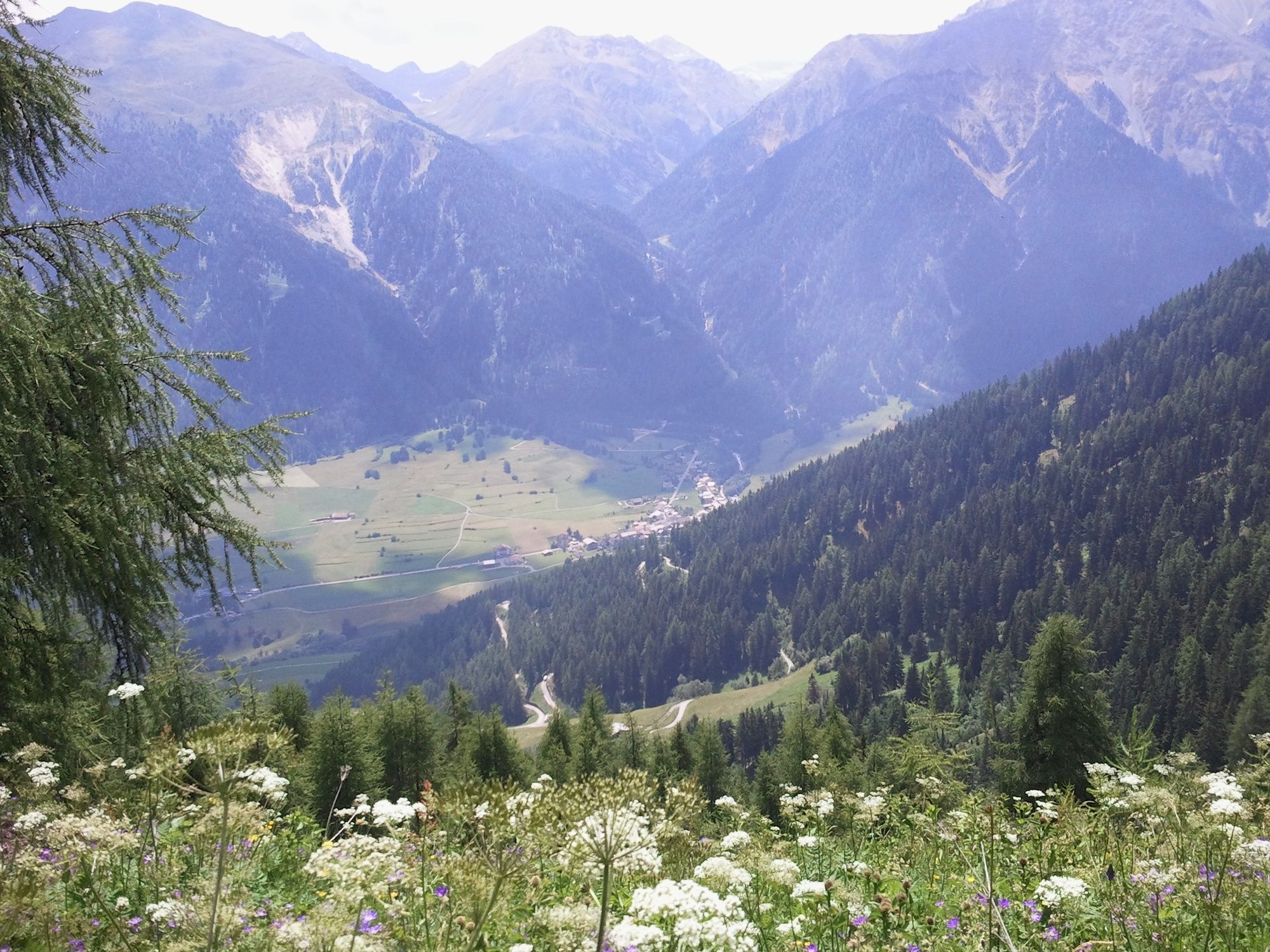
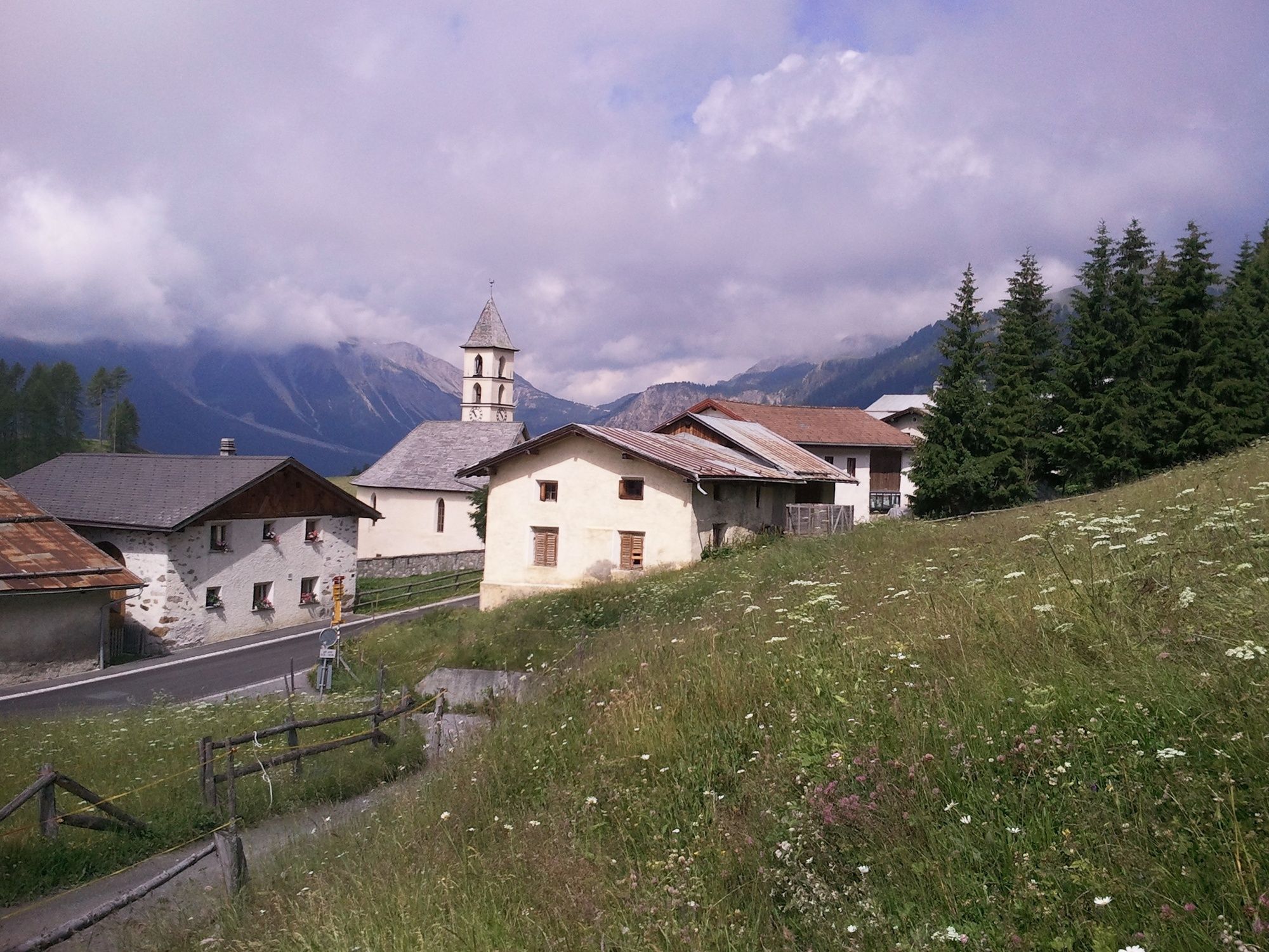
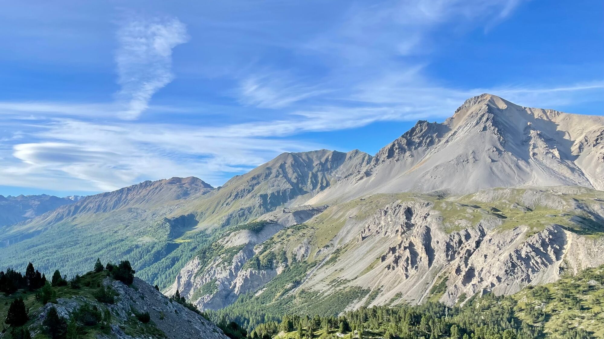
Senda Val Müstair - the easy high-level hike on the sunny side of the valley with a magnificent panoramic view. With the Natura Trail guide this hike becomes a theme trail.
- Sværhedsgrad
-
medium
- Evaluering
-
- Rute
-
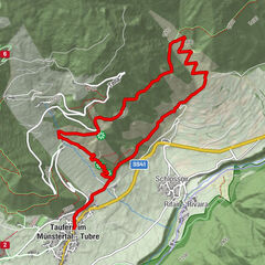
Hotel Süsom Givè0,0 kmAlp da Munt3,3 kmLa Posa6,1 kmVictimas da las Lavinas de l'On 19518,6 kmLü (1.920 m)9,1 kmReformierte Kirche9,3 kmUrschai10,4 kmValpaschun12,3 kmCraistas13,2 kmPütschai15,9 kmMüstair (1.273 m)19,4 km
- Bedste sæson
-
janfebmaraprmajjunjulaugsepoktnovdec
- Højeste punkt
- 2.254 m
- Destination
-
PostBus stop Müstair, posta
- Højdeprofil
-
 © outdooractive.com
- Forfatter
-
Rundvisningen Senda Val Müstair (Süsom Givè - Alp da Munt - Alp Champatsch - Lü - Müstair) bruges af outdooractive.com forudsat.
GPS Downloads


Generel information
Forfriskningsstop
Lovende
Flere ture i regionerne
-
Vinschgau
1291
-
Biosfera Val Müstair
565
-
Lü - Lüsai
148