© Arosa Lenzerheide - Cordula Seiler

© Arosa Lenzerheide - Cordula Seiler

© Arosa Lenzerheide - Cordula Seiler


- Kort beskrivelse
-
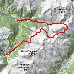
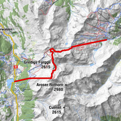
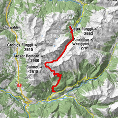
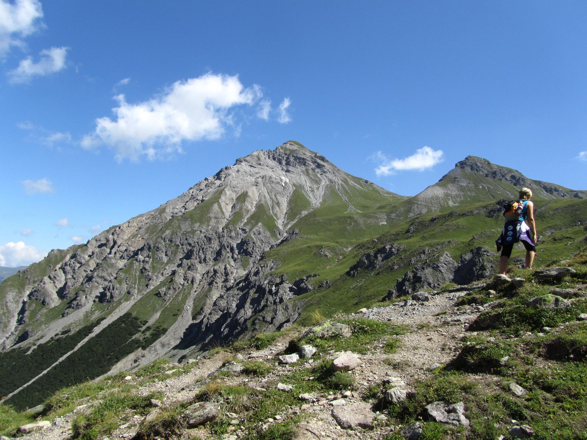
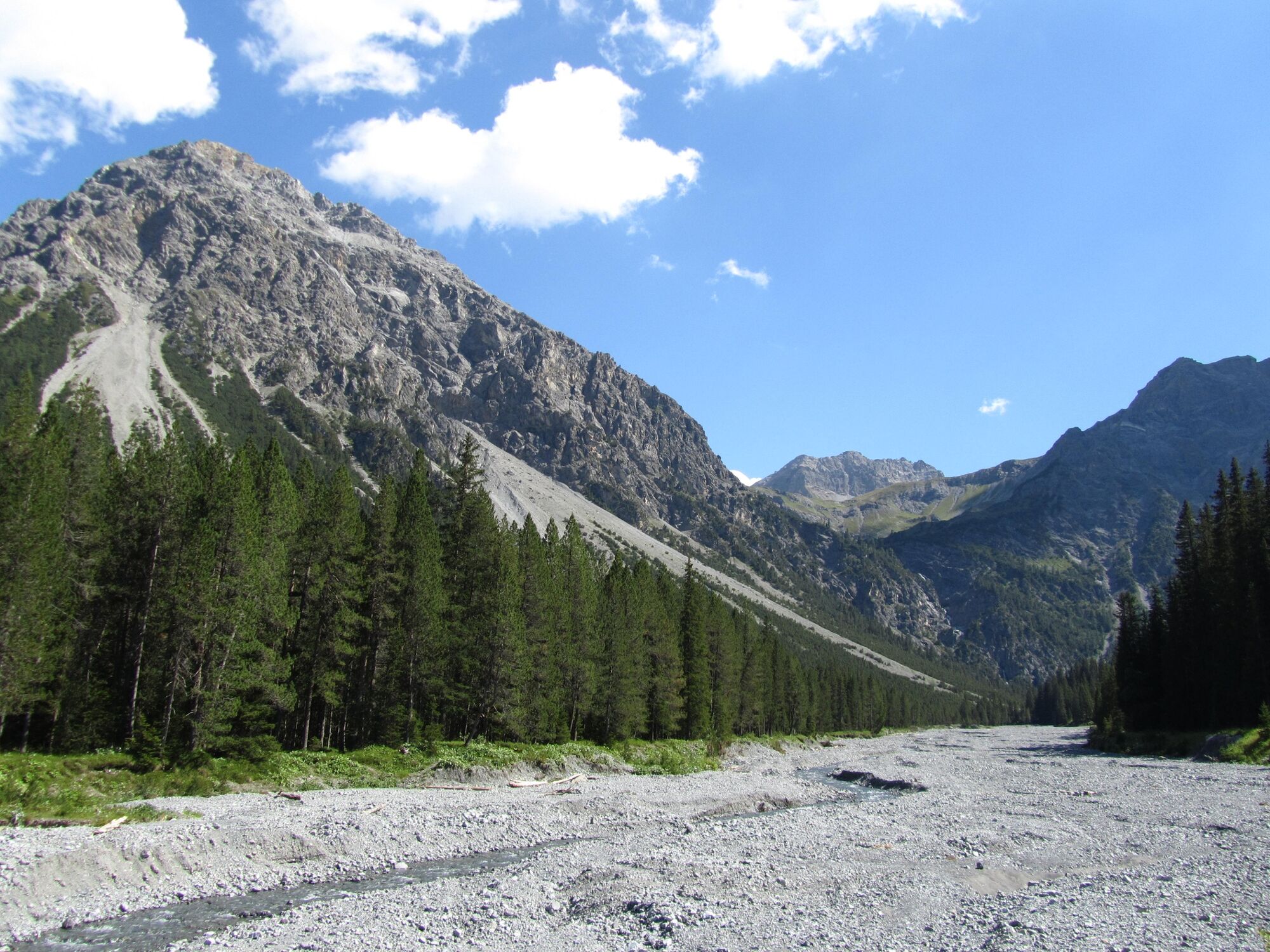
This round tour combines the terms «wa-ter» and «mountain» and offers countless beautiful views on Arosa and its surround-ing. The trail passes the Altein waterfalls and the Altein lake before making a loop around the Schiesshorn mountain, includ-ing the possibility to climb to the peak.
- Sværhedsgrad
-
medium
- Evaluering
-
- Rute
-
Arosa (1.739 m)0,2 km(Großer) Alteinwasserfall4,0 km
- Bedste sæson
-
janfebmaraprmajjunjulaugsepoktnovdec
- Højeste punkt
- 2.426 m
- Destination
-
Arosa
- Højdeprofil
-
 © outdooractive.com

- Forfatter
-
Rundvisningen 767 Alteinsee Schiesshorn bruges af outdooractive.com forudsat.
GPS Downloads


Generel information
Fauna
Lovende
Flere ture i regionerne
-
Arosa Lenzerheide
819
-
Hochwang
281